Parking
Start at Becher’s Bay Pier on Santa Rosa Island. Reach the island by boat or private vessel; there is no drive-up access.
Channel Islands National Park, CA
A strenuous 28-mile out-and-back to Santa Rosa’s remote south coast.
Overview
Map & elevation
Plan your hike

The highest, rockiest slopes around here are a summer buffet for grizzly bears.
Channel Islands Tour Guide
Parkwolf is a GPS audio tour guide for Channel Islands National Park. As you drive, it chimes in with what’s ahead: hidden gems, upcoming stops, history, geology, and wildlife, right through your car’s speakers.
See the Channel Islands audio tour“Fantastic app with many points of information… It’s great to just turn on while you’re driving and it gives you an audio tour of the national Park. We love it!!!!”


Trail guide
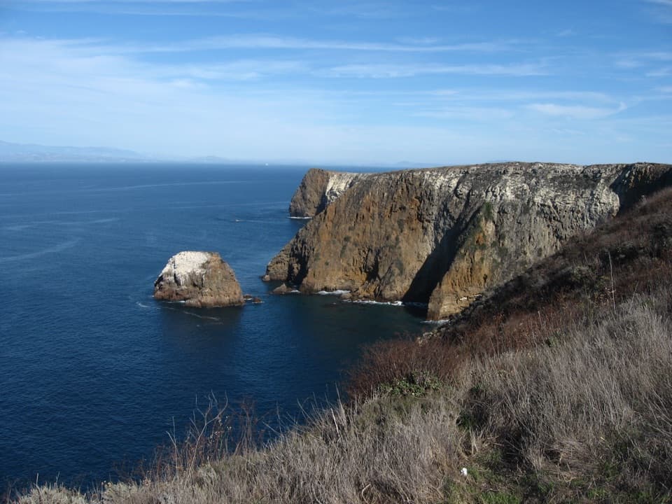
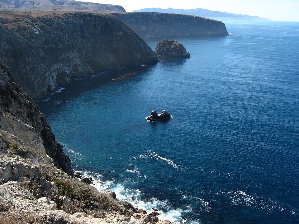
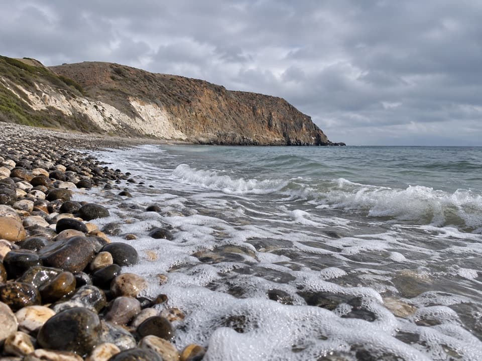
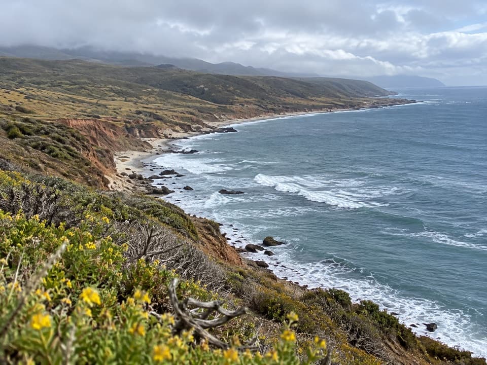
Johnson’s Lee Hike is a strenuous out-and-back from Becher’s Bay Pier across Santa Rosa Island on Main (Soledad) Road to the remote south coast. The National Park Service gives 14 miles each way, or 28 miles round trip, and warns of considerable climbing. There is no published time estimate; budget roughly 14–18 hours of walking as a planning estimate, before long stops. This is a backcountry-scale trip, not a quick island walk.
This description and its route follow Main (Soledad) Road. The Park Service also lists a South (Wreck) Road approach, but that is a separate 27-mile round-trip variant. The connected road trace available for this route measures about 12.7 miles one way and ends roughly 300 meters short of the Park Service’s Johnson’s Lee location; the official distance is 14 miles each way. Use the official distance for planning. The saved line is the best-supported road corridor and does not establish the final beach access, so confirm the approach with the park before setting out.
Johnson’s Lee is the gateway to Santa Rosa’s backcountry beach camping, reached only after a long, demanding hike. The Park Service calls the route strenuous and recommends experienced, well-conditioned hikers. Its island map is for reference, not navigation; do not rely on the app line alone for the unverified final approach. A typical walking-time estimate is about 14–18 hours, with 16 hours used here for planning; allow additional time for breaks.
Reach Santa Rosa Island by boat or private vessel and begin at Becher’s Bay Pier; there is no drive-up trailhead. Backcountry beach camping is seasonal, generally August 15 through December 31, and requires a reservation and permit. Check current access before planning an overnight. The Park Service lists drinking water at the ranch and campground, flush toilets at the ranch, and no other island facilities, so plan supplies for the long route. Pets are not allowed on the islands.
Wildlife
 2,278 sightingsIsland FoxMost seen around 6 PMSighting map
 284 sightingsHumpback WhaleMost seen around 9 AMSighting map
 79 sightingsBlue WhaleMost seen around 7 AMSighting map
 102 sightingsGrey WhaleMost seen around 8 AMSighting map
 373 sightingsCalifornia Sea LionMost seen around noonSighting map
 106 sightingsBald EagleMost seen around 5 PMSighting map
Sighting maps show where each species has been reported across Channel Islands. Wildlife moves, so no sighting is guaranteed.
Keep exploring
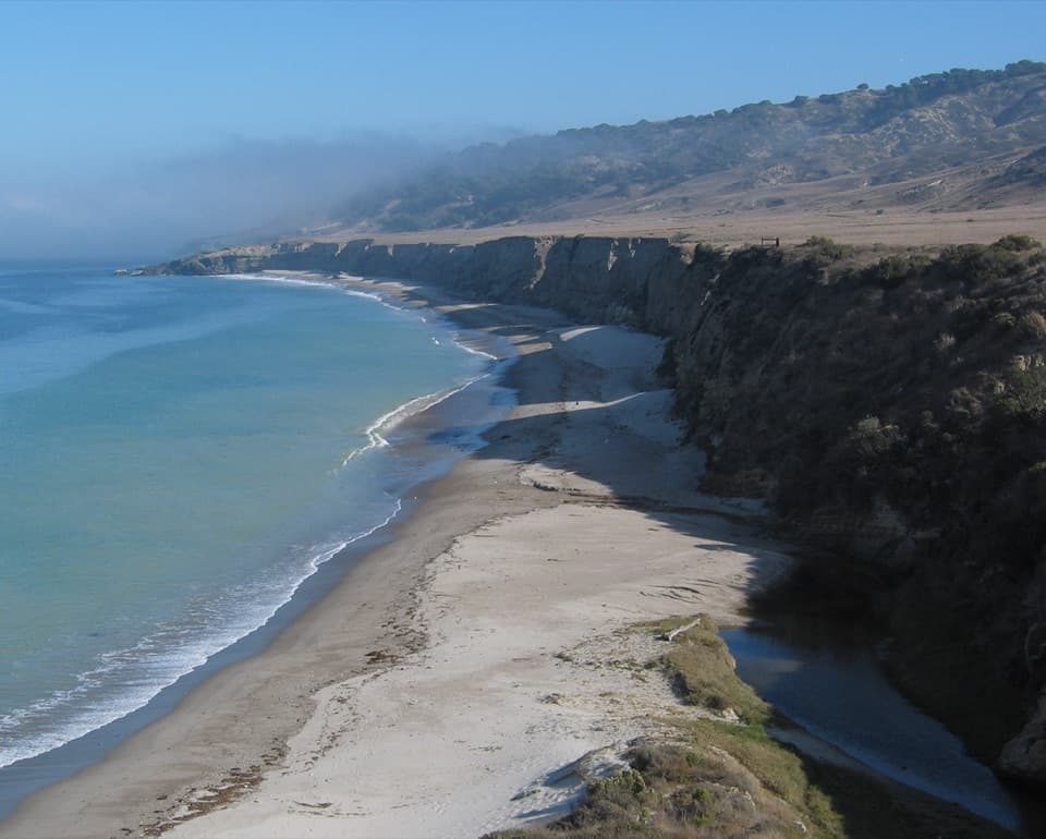 EasyWater Canyon Beach Hike3 mi · 1.8 hr · At the trailheadThree easy miles to a long white sand beach and back.
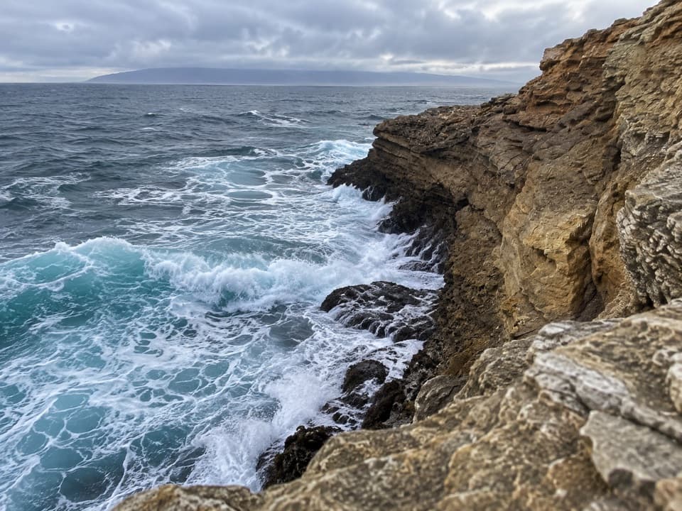 ChallengingCow Canyon Coastal Hike10.7 mi · 7 hr · At the trailheadA long walk ends where a creek tumbles into a pocket beach.
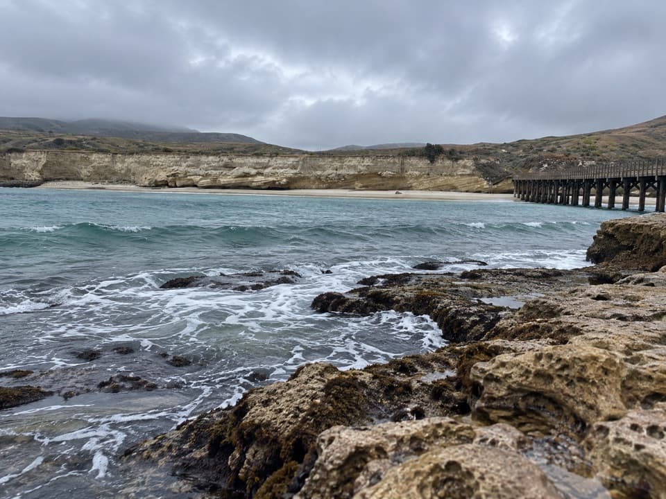 ChallengingCarrington Point Trail8 mi · 4 hr · At the trailheadEight miles out and back to a sea arch and blowhole.
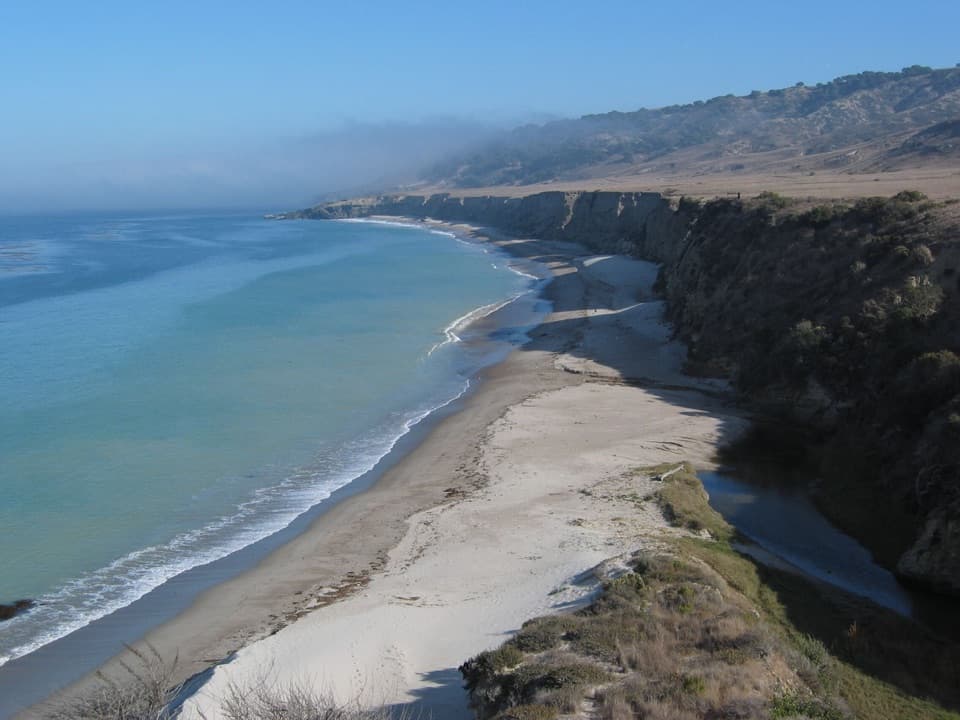 EasyBecher’s Bay Coastal Trail2 mi · 1 hr · At the trailheadA flat bluff walk with wide views over Bechers Bay.
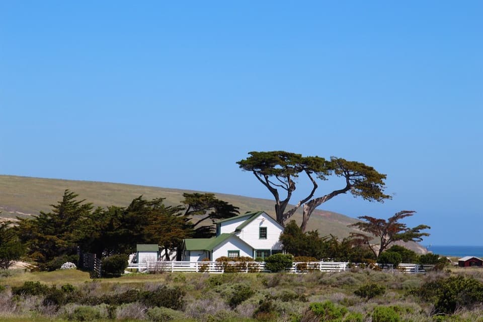 EasyHistoric Ranch Hike0.8 mi · 30 min · At the trailheadA gentle walk from the pier into Santa Rosa's ranching past.
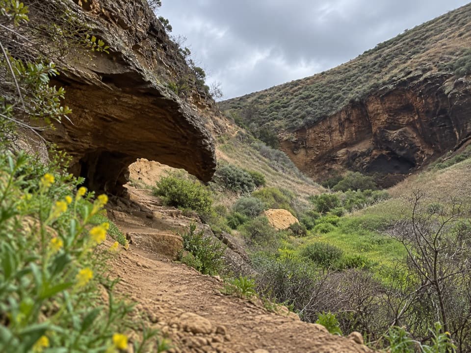 ChallengingLobo Canyon Hike9.6 mi · 6 hr · 0.1 mi awayA long island road walk opens onto an unexpectedly lush canyon.
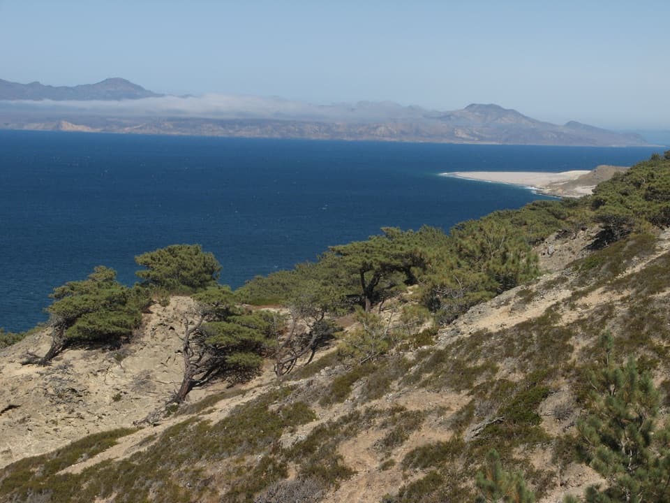 ChallengingTorrey Pines Loop Hike7.5 mi · 4.5 hr · 0.1 mi awayA steep loop through a pine grove found only in two places.
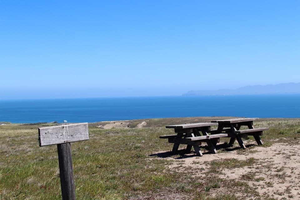 ModerateCherry Canyon Hike3.5 mi · 2.5 hr · 0.1 mi awayA seasonal creek and switchbacks open onto a coastal terrace.
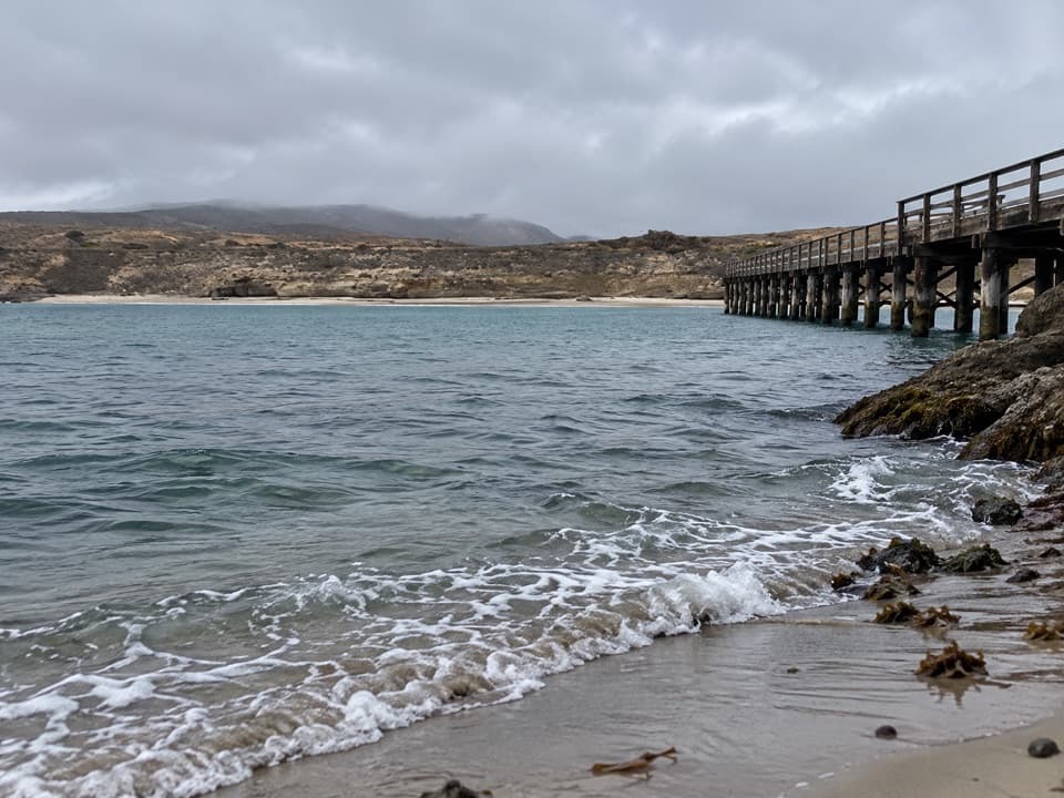 Sight · At the trailheadBecher's Bay PierA boat landing with a century and a half of ranching history.
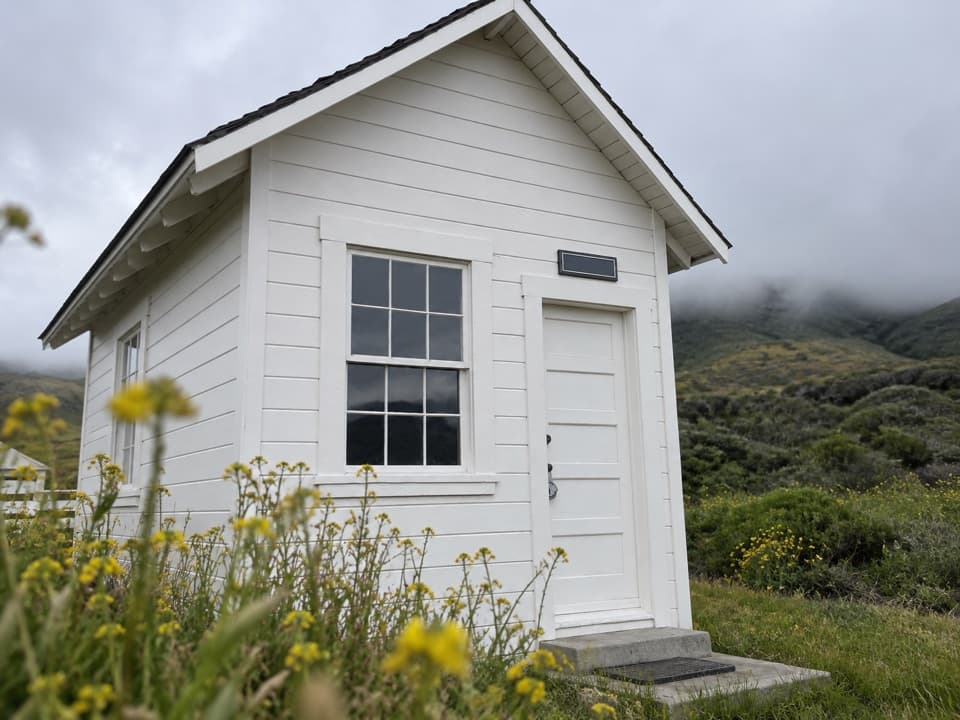 Sight · 0.2 mi awayVail & Vickers Cattle Ranch and SchoolhouseA level walk into Santa Rosa Island's cattle-ranch past.Beach · 1 mi awayWater Canyon BeachTwo miles of sand, reached by a three-mile island walk.
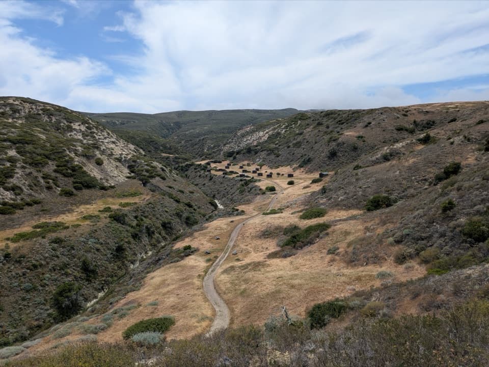 Campground · 1.1 mi awayWater Canyon CampgroundA windy 15-site camp with a 1.5-mile gear carry from the pier.
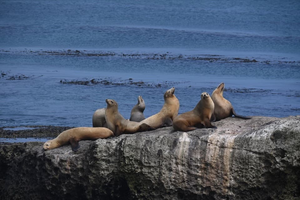 Sight · 1.8 mi awayCarrington PointSea lions and a pygmy-mammoth story beside a nearly 300-degree ocean view.
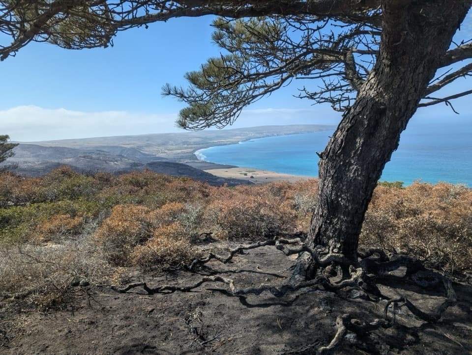 Sight · 2.3 mi awayTorrey Pines GroveOne of only two natural Torrey pine populations grows here.
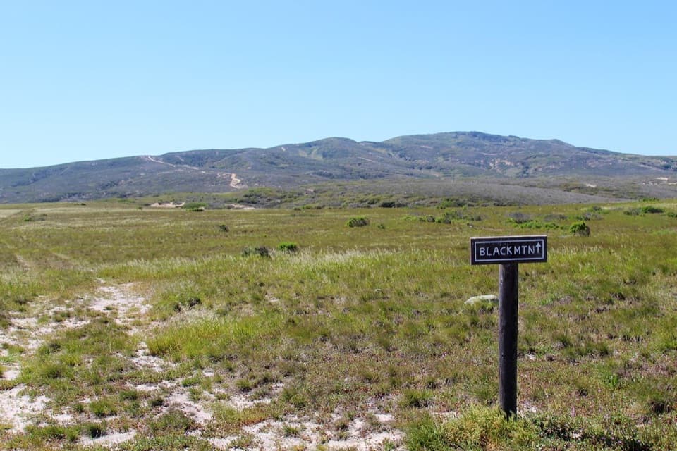 Sight · 2.7 mi awayBlack MountainA steep summit hike with island-wide views when the fog lifts.
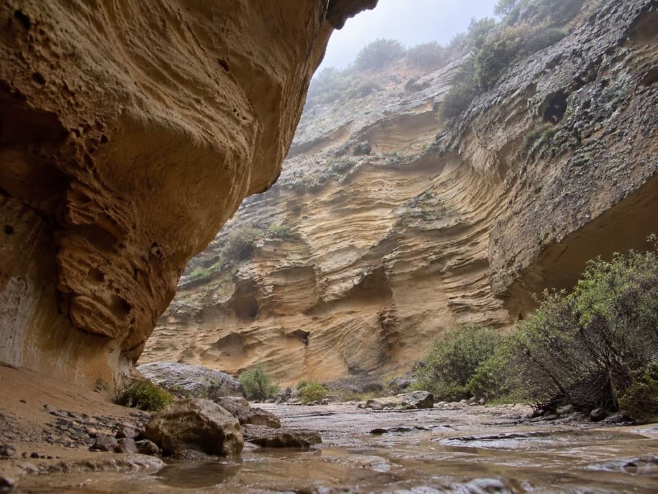 Sight · 3 mi awayLobo CanyonA green stream below honeycombed sandstone, after a long island hike.
Parkwolf’s Channel Islands ranking

The audio tour guide for the drive, plus offline maps, trails, and wildlife heatmaps for when the signal drops.