Parking
No car access. Arrive by boat at Scorpion Anchorage and begin near the Scorpion Ranch/campground access; carry water and keep a wide buffer for the return boat.

#4 of 31 trails in Channel Islands
Channel Islands National Park, CA
A strenuous, exposed loop to Montañon Ridge with sweeping island and ocean views
Overview
Montañon Ridge Loop is a strenuous, roughly 10-mile round trip from Scorpion Beach/Anchorage on eastern Santa Cruz Island. It is for experienced hikers only; plan on a long, exposed day with substantial climbing and about 6–8 hours on the route, depending on pace and conditions.
Choose this loop for rugged terrain, solitude, and big island views. It is a serious day for experienced hikers, especially because parts of the ridge route are unmaintained.
 Parkwolf’s verdictBottom line
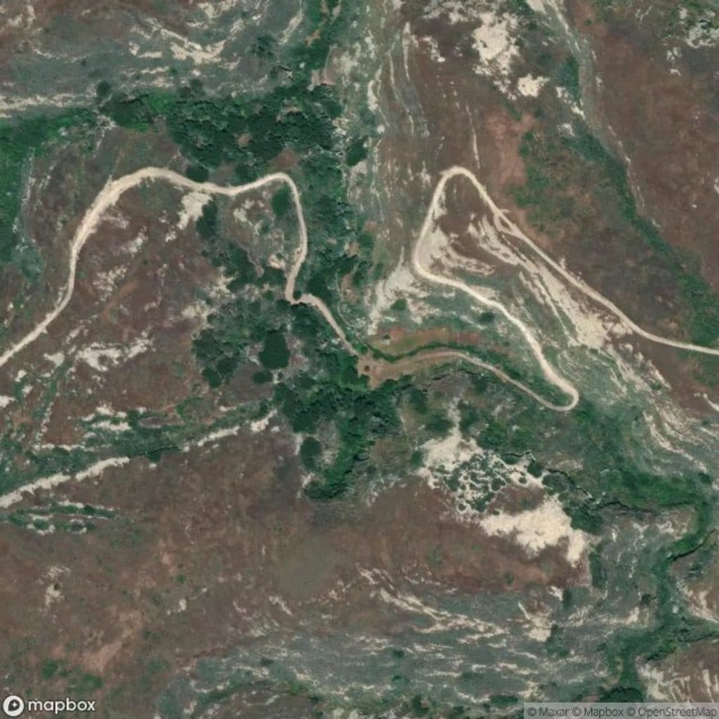
Map & elevation
Plan your hike

The highest, rockiest slopes around here are a summer buffet for grizzly bears.
Channel Islands Tour Guide
Parkwolf is a GPS audio tour guide for Channel Islands National Park. As you drive, it chimes in with what’s ahead: hidden gems, upcoming stops, history, geology, and wildlife, right through your car’s speakers.
See the Channel Islands audio tourRecorded for this trailhead
Scorpion Anchorage: The Island's Activity Hub“You're heading toward Scorpion Anchorage, the main base of operations on Santa Cruz Island. This is the starting point for most popular activities, all located right at the landing.”
Plays as you drive up to this trailhead in the Parkwolf Channel Islands Tour Guide.
More stories near here in the app
“Fantastic app with many points of information… It’s great to just turn on while you’re driving and it gives you an audio tour of the national Park. We love it!!!!”


Trail guide
This loop uses the Scorpion Canyon and North Bluff/Potato Harbor approaches around Montañon Ridge. The National Park Service notes that it can be accessed via Smuggler’s Road or via the North Bluff Trail near Potato Harbor. The section from Potato Harbor Overlook to Montañon Ridge is not maintained, and route-finding is part of the experience. Expect rocky, steep, rugged terrain, long sunny stretches, and limited signage.
The ridge and North Bluff side offer broad views of the Pacific, Anacapa Island, Santa Cruz Island’s coast, and the interior valleys. Montañon’s high country feels much more remote than the maintained valley and bluff walks near Scorpion.
There is no car access: arrive by boat at Scorpion Anchorage and begin near the Scorpion Ranch/campground access. Carry plenty of water because there is no dependable water along the route. Bring sun and wind protection, sturdy footwear, a topographic map, and navigation backup. Leave a generous buffer for the return boat. No pets are allowed on the islands.
Wildlife
 2,232 sightingsIsland FoxMost seen around 6 PMSighting map
 282 sightingsHumpback WhaleMost seen around 9 AMSighting map
 79 sightingsBlue WhaleMost seen around 7 AMSighting map
 101 sightingsGrey WhaleMost seen around 8 AMSighting map
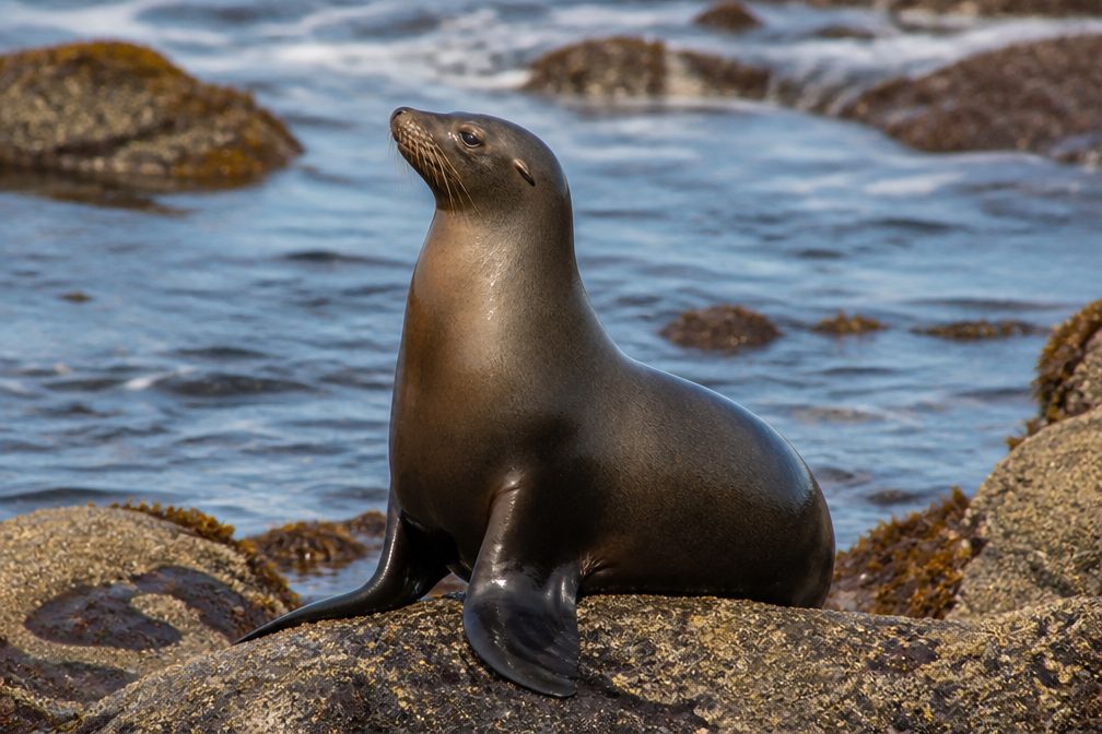 364 sightingsCalifornia Sea LionMost seen around noonSighting map
 105 sightingsBald EagleMost seen around 5 PMSighting map
Sighting maps show where each species has been reported across Channel Islands. Wildlife moves, so no sighting is guaranteed.
Keep exploring
 EasyScorpion Anchorage to Cavern Point2 mi · 1.5 hr · At the trailheadA short coastal loop from Scorpion Anchorage to Cavern Point
 ModeratePotato Harbor Trail5.2 mi · 2.8 hr · 0.1 mi awayA moderate 5.2-mile coastal out-and-back from Scorpion Anchorage to a clifftop view of Potato Harbor
 ModerateNorth Bluff Trail3.8 mi · 2 hr · 0.2 mi awayExposed coastal loop from Scorpion Anchorage via Cavern Point and North Bluff to Potato Harbor views
 ModerateBluff Trail (Santa Cruz Island)5 mi · 2.5 hr · 0.2 mi awayExposed island bluffs leading from Scorpion Beach to Potato Harbor
 ModerateScorpion Canyon Loop Trail4.5 mi · 2.5 hr · 0.2 mi awayClockwise 4.5-mile island loop from Scorpion Anchorage with coastal views, an historic oil well, and endemic wildlife
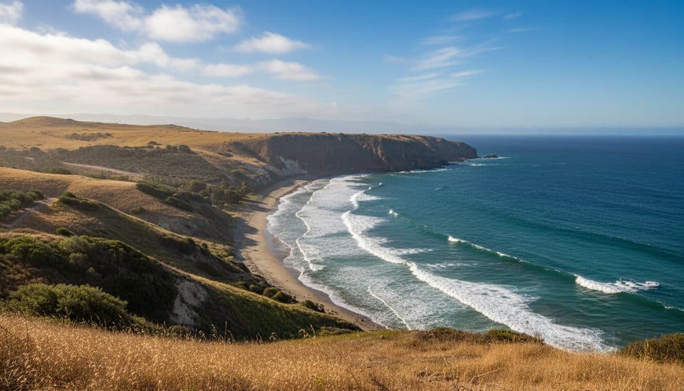 ChallengingSmugglers Cove Trail7.5 mi · 4.5 hr · 0.2 mi awayRemote island climb to a turquoise cove with big ocean views
 ModerateCavern Point Loop2 mi · 1.3 hr · 0.4 mi awayShort bluff-top loop from Scorpion Ranch with huge ocean views and a steep startChallengingSmugglers Cove to Yellowbanks3 mi · 2 hr · 2.1 mi awayRugged 3-mile out-and-back from Smugglers Cove to the remote Yellowbanks beach
 Sight · 0.1 mi awayScorpion RanchHistoric ranch hub for hikes, kelp snorkeling, and sea cave kayaking
 Sight · 0.1 mi awayScorpion AdobeRanch-era adobe steps from Scorpion Anchorage with island history
 Sight · 0.2 mi awayChannel Islands Adventure CompanyGuided sea-cave kayaking at Scorpion with expert, eco-minded guides
 Sight · 0.2 mi awayScorpion AnchorageAll-in-one hub for hikes, sea caves, and kelp snorkeling
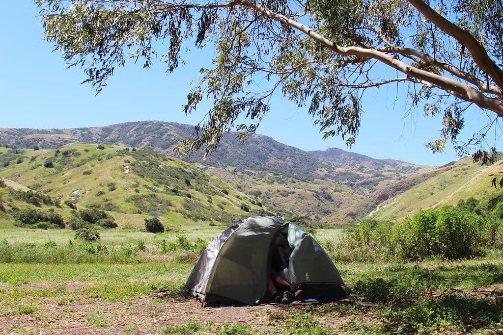 Campground · 0.3 mi awayLower Scorpion CampgroundTent-only island basecamp with beach access and resident foxes
 Sight · 0.6 mi awayScorpion RockOffshore seabird sanctuary with misty cliffs and marine views
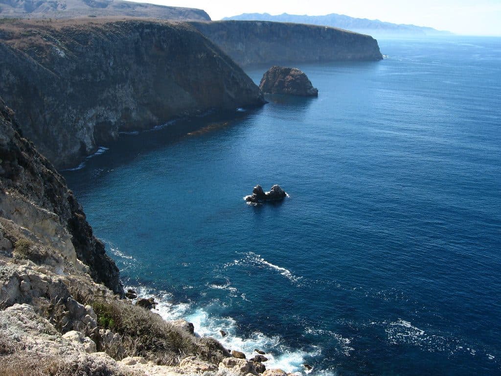 Sight · 0.6 mi awayCavern PointCliff‑top overlook with big ocean views and seasonal whale watching
 Campground · 0.6 mi awayUpper Scorpion CampgroundSheltered island basecamp with water spigots, beach access, and fox cameos
Parkwolf’s Channel Islands ranking
The audio tour guide for the drive, plus offline maps, trails, and wildlife heatmaps for when the signal drops.