Parking
No island parking. Access is by boat; meet the ranger near the Cuyler Harbor campground trailhead on San Miguel Island.

#6 of 31 trails in Channel Islands
Channel Islands National Park, CA
Remote, ranger-led epic to roaring seal and sea lion colonies
Overview
This is San Miguel Island’s signature long walk: a ranger-led, out-and-back trek of about 16 miles total to the far-western headland of Point Bennett. It’s a full-day, strenuous undertaking thanks to length, constant wind, rolling terrain, and soft sand in places. Interior hikes on San Miguel—including this one—are only allowed with a National Park Service ranger, a rule tied to safety and resource protection.
For prepared hikers who crave remoteness, natural history, and a blockbuster wildlife finale, this is one of California’s great coastal adventures. For casual walkers, the distance, exposure, and guided-only access make it a tough fit.
 Parkwolf’s verdictBottom Line
Map & elevation
Plan your hike

The highest, rockiest slopes around here are a summer buffet for grizzly bears.
Channel Islands Tour Guide
Parkwolf is a GPS audio tour guide for Channel Islands National Park. As you drive, it chimes in with what’s ahead: hidden gems, upcoming stops, history, geology, and wildlife, right through your car’s speakers.
See the Channel Islands audio tourRecorded for this trailhead
San Miguel Island Campground: A Wild and Windy Stay“You're on the trail that climbs up to the San Miguel Island Campground, which is perched on a very windswept bluff overlooking Cuyler Harbor.”
Plays as you drive up to this trailhead in the Parkwolf Channel Islands Tour Guide.
More stories near here in the app
“Fantastic app with many points of information… It’s great to just turn on while you’re driving and it gives you an audio tour of the national Park. We love it!!!!”


Trail guide
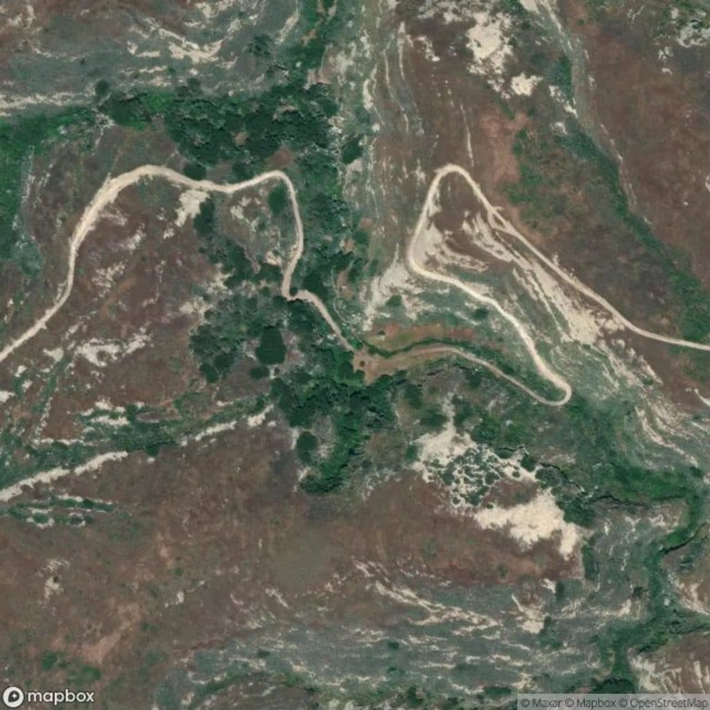
From the Cuyler Harbor campground area, the route follows an old Navy road turned singletrack over San Miguel Hill (the island’s high point at 831 feet), dips through Sand Blast Pass, and rolls past landmarks like the Caliche Forest—fossilized tree casts from the last ice age—before skirting a dry lakebed/airstrip and continuing to Point Bennett. Expect roughly 1,500 feet of cumulative gain with multiple climbs and descents. The payoff is one of the world’s densest concentrations of seals and sea lions, viewed from an overlook near a research station. Throughout, you’ll get sweeping views of wind-carved hills and rugged coastline, with WWII history on San Miguel Hill adding a human layer to the landscape.
This hike is all about exposure: strong winds, big skies, no shade. Underfoot it’s mostly dirt with sections of soft sand. You’ll likely feel the distance—wind and sand make the miles punch above their weight. Typical group time is around six hours of hiking, but stops for ranger interpretation and wildlife viewing can extend the day. This is a remote, disciplined outing: you’ll stay on trail and with the ranger at all times.
Point Bennett is famous for its marine mammals—seals and sea lions in impressive numbers. Spring and early summer often bring especially lively scenes, including pups. Birdlife is a constant companion across the island’s open terrain.
San Miguel is reachable by boat with limited schedules, and many visitors stay overnight to make this hike feasible. Given weather-dependent landings and the distance, build flexibility into your plans. Bring ample water, food, sturdy boots, layers for wind and sun, and binoculars for the finale. You must remain with the ranger; off-trail travel is prohibited due to sensitive resources and lingering military hazards.
Wildlife
 2,232 sightingsIsland FoxMost seen around 6 PMSighting map
 282 sightingsHumpback WhaleMost seen around 9 AMSighting map
 79 sightingsBlue WhaleMost seen around 7 AMSighting map
 101 sightingsGrey WhaleMost seen around 8 AMSighting map
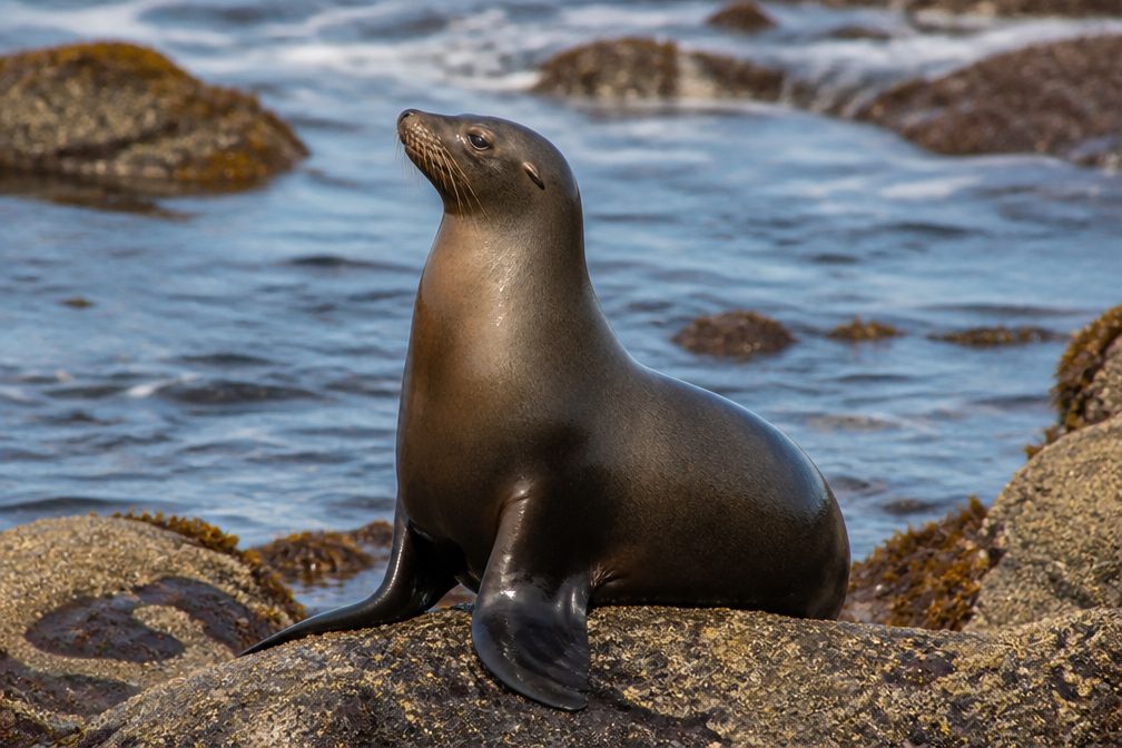 364 sightingsCalifornia Sea LionMost seen around noonSighting map
 105 sightingsBald EagleMost seen around 5 PMSighting map
Sighting maps show where each species has been reported across Channel Islands. Wildlife moves, so no sighting is guaranteed.
Keep exploring
 ModerateHarris Point Trail6.2 mi · 3.5 hr · 0.2 mi awayRanger-led bluff hike to Lester Point above Simonton Cove
 EasyCuyler Harbor Beach Trail2 mi · 1.3 hr · 0.5 mi awayRemote white sand stroll with sweeping surf and seal sightings
 ChallengingCaliche Forest Trail5 mi · 3 hr · 0.5 mi awayRanger-led trek to San Miguel’s eerie fossil “forest”.
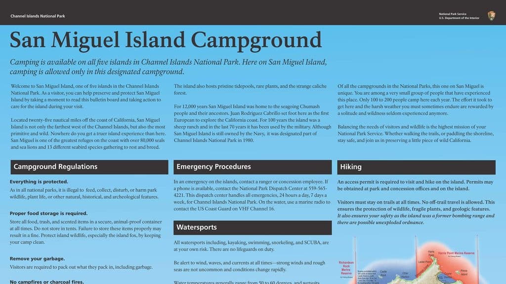 Campground · At the trailheadSan Miguel Island CampgroundRemote, wind-battered bluff camp with prolific wildlife
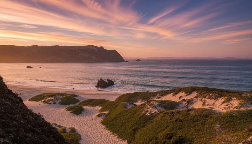 Beach · 0.7 mi awayCuyler HarborSan Miguel’s wild white‑sand landing with seals and sweeping cliffs
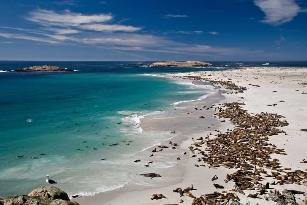 Sight · 1.4 mi awaySan Miguel IslandWindblown wilderness with colossal seal and sea lion colonies
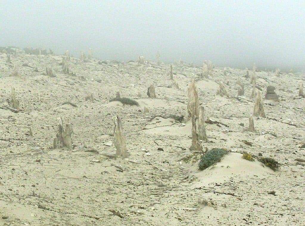 Sight · 1.6 mi awayCaliche ForestOtherworldly fossilized tree casts in windswept dunes
 Sight · 5.9 mi awayPoint BennettRemote rookery with thousands of seals and sea lions
Parkwolf’s Channel Islands ranking
The audio tour guide for the drive, plus offline maps, trails, and wildlife heatmaps for when the signal drops.