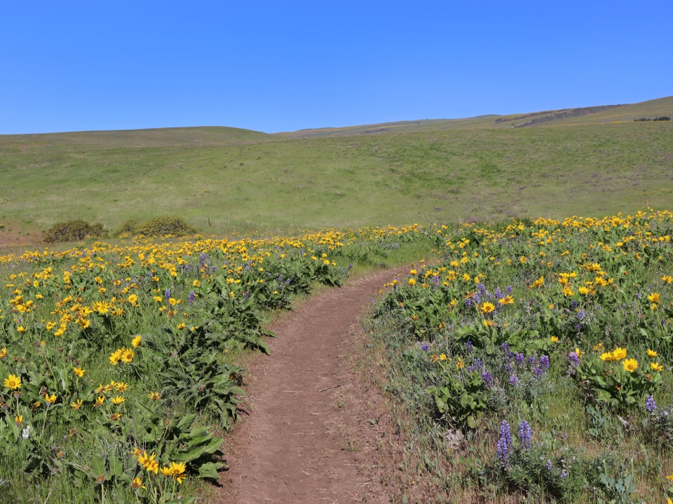
Dalles Mountain Ranch in Columbia River Gorge National Scenic Area

Sight · Columbia River Gorge National Scenic Area

Dalles Mountain Ranch

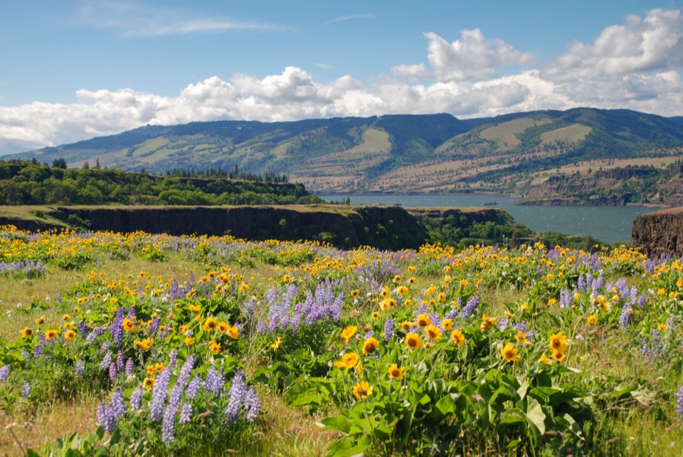
A ranch walk through open hills with a spring wildflower payoff.

Photo: Wikimedia Commons
Type
Sight
Nearest trail
1.2 mi
Audio stories
4 nearby
  • Trailhead
  • Parking

Hear the audio tour

Dalles Mountain Ranch

Overview

About Dalles Mountain Ranch

Why stop

  • Interpretive signs bring the ranch history into the visit.
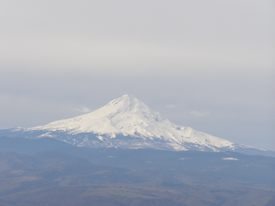
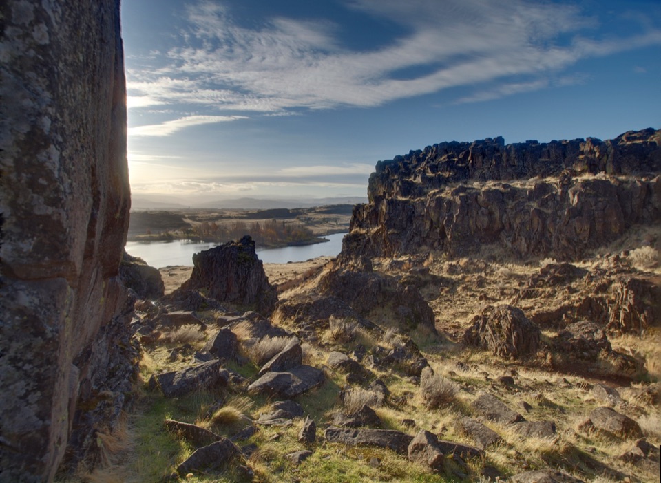
  • The ridge trails open to wide Gorge views.

Heads up

  • Little shade on the rolling upper hills.

Map

Where it is

Loading the Columbia River Gorge map
Full map
SightDalles Mountain Ranch45.67817, -121.09270
Keep this map with you offline in the Parkwolf app

Plan your stop

Before you go

Use the upper access

From the U.S. 197/SR 14 junction, drive 0.9 mile east on SR 14, turn left onto gravel Dalles Mountain Road, continue 3.4 miles, keep right, then drive another 0.2 mile to the lot beyond the ranch buildings. This is the upper access, separate from Crawford Oaks Trailhead beside SR 14. A Discover Pass is required to park. Bring water and snacks for the exposed trail. The long gravel approach is part of the visit, so check the park's current access information before driving up.


8 active Columbia River Gorge alerts

  • ClosureEagle Creek Fire area closureDo not enter Oneonta Gorge or the specified trail sections because hazards remain following the Eagle Creek Fire.Official details
  • CautionAircraft and drone restrictions at developed recreation sitesAircraft and drone landings, drop-offs, and pickups are prohibited at six high-use developed recreation sites to protect visitor safety.Official details
See all 8 alerts
A park ranger sits on a dash-mounted phone, talking, as Parkwolf’s Tour Guide plays “Army Cutworm Moths: A Grizzly Bear Buffet” on Grand Loop Road below Dunraven Pass in Yellowstone
Parkwolf Tour GuideThe highest, rockiest slopes around here are a summer buffet for grizzly bears.

Columbia River Gorge Tour Guide

Your drive to Dalles Mountain Ranch, narrated.

Parkwolf is a GPS audio tour guide for Columbia River Gorge National Scenic Area. As you drive, it chimes in with what’s ahead: hidden gems, upcoming stops, history, geology, and wildlife, right through your car’s speakers.

Recorded for this place

Dalles Mountain Ranch
0:00 / 0:29
“You're approaching Dalles Mountain Ranch, reached by a long gravel road above the Columbia.”

Plays as you drive up to Dalles Mountain Ranch in the Parkwolf Columbia River Gorge Tour Guide.

More stories near here in the app

  • The Lake the Dam Made
  • The Flowers Beyond Balsamroot
  • The Deer's Four-Footed Leap
  • The Red Behind the Art
  • 217 audio storiesacross Columbia River Gorge’s roads, triggered by GPS as you drive
  • Wildlife heatmapsfor Bald Eagle, Black Bear, American Pika, and 13 more
  • Works offlinemaps, 111 trails, 78 places, and audio download before you lose signal
  • CarPlay readysimple controls built for the drive
★★★★★
“Fantastic app with many points of information… It’s great to just turn on while you’re driving and it gives you an audio tour of the national Park. We love it!!!!”
JMJamesApp Store review
Download Parkwolf on the App StoreGet Parkwolf on Google Play

4.7 from 8,600+ ratings

Guide

More about Dalles Mountain Ranch

More than old buildingsDalles Mountain Ranch is a historic ranch complex and the upper trailhead on the north side of…

Dalles Mountain Ranch is a historic ranch complex and the upper trailhead on the north side of Columbia Hills Historical State Park, above the Columbia River. Its open, rolling hills draw people for spring balsamroot and lupine, wide Gorge views, and a look around the old buildings. The ranch is listed on Washington's State Register of Historic Places, and interpretive signs explain the site. It was a working cattle ranch; the ranch house and most of its structures became part of State Parks after operations ended in the early 1990s. The appeal is both the landscape and the evidence of the ranch that once worked it.

Pick a loopThe upper access is a place to set out on trails, not just a roadside photo stop.

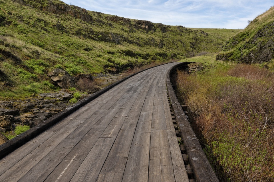
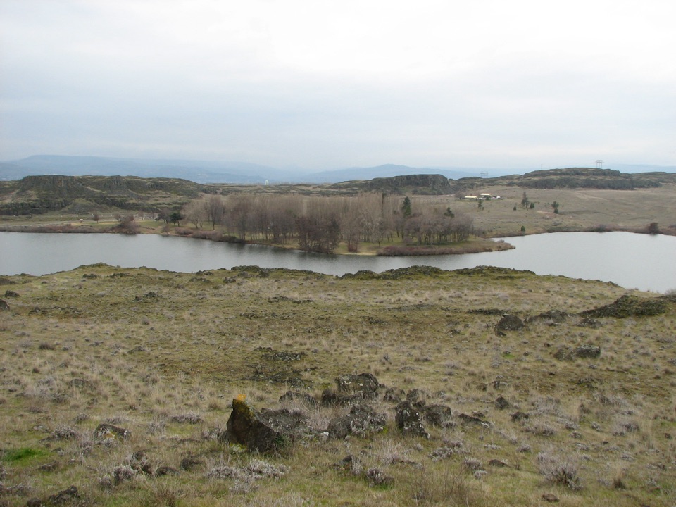
The upper access is a place to set out on trails, not just a roadside photo stop. The longer Crawford Oaks figure-eight route has a 5-mile lower loop or an 8.5-mile full outing, with up to 1,300 feet of climbing. It follows Eightmile Creek, passes a waterfall and a meadow with an old orchard, then climbs the Vista Loop for views east and west along the Gorge. The upper loop reaches a pond and historic ranch buildings. Take a photo of the trail map at the kiosk and follow the marked posts at junctions; the lower and upper loops run in different directions. Expect an exposed walk over rolling hills, with little shade.

Spring is the showBalsamroot and lupine color the hills in spring, and wildflowers look best with some of the…

Balsamroot and lupine color the hills in spring, and wildflowers look best with some of the open country around them. For a photo, keep a footpath leading through the flowers in the frame; it shows where the walk goes and gives the hillside scale. The views hold up beyond bloom season, but the lack of shade makes the park's cooler months more comfortable for a longer outing. Wind is common on these open slopes.

Wildlife

Wildlife in Columbia River Gorge

All Columbia River Gorge wildlife maps

Sighting maps show where each species has been reported across Columbia River Gorge. Wildlife moves, so no sighting is guaranteed.

Parkwolf’s Columbia River Gorge ranking

Top sights in Columbia River Gorge

All 78 places
  1. 1Multnomah FallsSight
  2. 2Vista House at Crown PointSight
  3. 3Rowena Crest OverlookSight
  4. 4Portland Women’s Forum State Scenic ViewpointSight
  5. 5Latourell FallsSight
  6. 6Beacon RockSight

Take Parkwolf to Columbia River Gorge.

The audio tour guide for the drive, plus offline maps, trails, and wildlife heatmaps for when the signal drops.

4.7 from 8,600+ ratings

Download Parkwolf on the App StoreGet Parkwolf on Google Play