Beacon Rock in Columbia River Gorge National Scenic Area

#6 of 60 sights in Columbia River Gorge

Sight · Columbia River Gorge National Scenic Area

Beacon Rock

A basalt landmark with a switchback trail above the Columbia.

Photo: Public Domain
Type
Sight
Nearest trail
Right here
Audio stories
8 nearby
  • Trailhead
  • Parking
  • Restrooms
  • Picnic tables

Hear the audio tour

Beacon Rock

Overview

About Beacon Rock

Why stop

  • A rare chance to climb the monolith itself above the Columbia.

Heads up

  • Popular route with a compact, roughly 30-car parking area.

Map

Where it is

Loading the Columbia River Gorge map
Full map
SightBeacon Rock45.62859, -122.02221
Keep this map with you offline in the Parkwolf app

Plan your stop

Before you go

8 active Columbia River Gorge alerts

  • ClosureEagle Creek Fire area closureDo not enter Oneonta Gorge or the specified trail sections because hazards remain following the Eagle Creek Fire.Official details
  • CautionAircraft and drone restrictions at developed recreation sitesAircraft and drone landings, drop-offs, and pickups are prohibited at six high-use developed recreation sites to protect visitor safety.Official details
See all 8 alerts
A park ranger sits on a dash-mounted phone, talking, as Parkwolf’s Tour Guide plays “Army Cutworm Moths: A Grizzly Bear Buffet” on Grand Loop Road below Dunraven Pass in Yellowstone
Parkwolf Tour GuideThe highest, rockiest slopes around here are a summer buffet for grizzly bears.

Columbia River Gorge Tour Guide

Your drive to Beacon Rock, narrated.

Parkwolf is a GPS audio tour guide for Columbia River Gorge National Scenic Area. As you drive, it chimes in with what’s ahead: hidden gems, upcoming stops, history, geology, and wildlife, right through your car’s speakers.

Recorded for this place

Beacon Rock
0:00 / 0:26
“You're approaching Beacon Rock, the basalt core of an extinct volcano with a trail wrapped onto its face.”

Plays as you drive up to Beacon Rock in the Parkwolf Columbia River Gorge Tour Guide.

More stories near here in the app

  • Hamilton Mountain Trailhead
  • Doetsch Ranch River Walks
  • Elowah Falls from John B. Yeon
  • The Rock That Almost Became a Jetty
  • 217 audio storiesacross Columbia River Gorge’s roads, triggered by GPS as you drive
  • Wildlife heatmapsfor Bald Eagle, Black Bear, American Pika, and 13 more
  • Works offlinemaps, 111 trails, 78 places, and audio download before you lose signal
  • CarPlay readysimple controls built for the drive
★★★★★
“Fantastic app with many points of information… It’s great to just turn on while you’re driving and it gives you an audio tour of the national Park. We love it!!!!”
JMJamesApp Store review
Download Parkwolf on the App StoreGet Parkwolf on Google Play

4.7 from 8,600+ ratings

Guide

More about Beacon Rock

A basalt rock with a built-in climbBeacon Rock is a steep-sided basalt monolith on the Washington shore of the Columbia River, the…

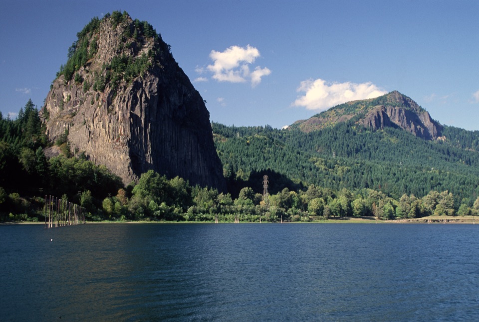
Beacon Rock is a steep-sided basalt monolith on the Washington shore of the Columbia River, the exposed core of an extinct volcanic cinder cone. Its dark face rises from the river corridor beside State Route 14, and a historic trail winds up the rock itself. This is one of the Gorge's defining landmarks and a good choice if you want a short, steep hike with big river views rather than another roadside pullout. Allow about two miles round trip and roughly 600 feet of climbing. It is a real uphill outing, though the way is engineered and there is no route-finding to puzzle through.

Follow the switchbacksThe trail climbs the rock through 52 switchbacks.

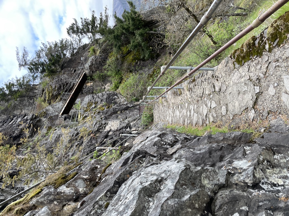
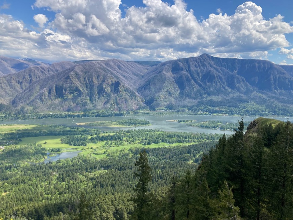
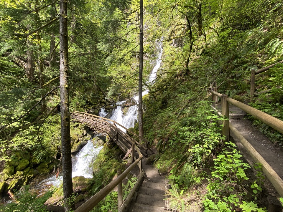
The trail climbs the rock through 52 switchbacks. Handrails, bridges and boardwalk sections carry you around the steepest parts; you are walking a built route, not scrambling up bare rock. The turns give you places to catch your breath, and the view changes as you rise above the shoreline. The Columbia opens in both directions from the ascent, so do not save every look for the top. Some bends show more of the gorge than the wooded summit. At the top, the view opens upriver toward Bonneville Dam.

The path is narrow in places, with the river far below the rock face. The rails make the route feel secure, but this is still an exposed climb, and people coming the other way share the same walkway. Take your time on the tight turns and pause where the route widens instead of trying to pass in a hurry. If heights make you uncomfortable, the boardwalk sections may feel more demanding than the mileage suggests.

A river landmark left standingBeacon Rock is the hard core of a cinder cone that erupted about 57,000 years ago.

Beacon Rock is the hard core of a cinder cone that erupted about 57,000 years ago. During the Ice Age, repeated Missoula Floods stripped away much of the softer material around it, leaving the basalt plug beside the river. The Lewis and Clark expedition passed in 1805; William Clark recorded it as “Beaten Rock,” and the party saw it again on its return in 1806.

In 1915, Henry Biddle bought the rock and set out to build a way to the top. The trail was finished in 1918 with 52 switchbacks, 22 bridges and more than 100 concrete slabs. The route has been maintained and rebuilt since, but its job is the same: turn an almost sheer landmark into a walk that brings you onto its upper slopes. That bit of engineering is part of what makes Beacon Rock such an unusual stop along the highway.

Make the stop workThe trailhead is just south of State Route 14 inside Beacon Rock State Park, east of Vancouver…

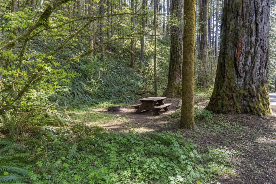
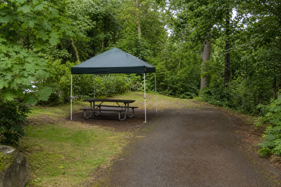
The trailhead is just south of State Route 14 inside Beacon Rock State Park, east of Vancouver along the Columbia. Parking is divided between two small lots with room for about 30 cars, and a Discover Pass is required. The eastern lot has flush toilets and an accessible privy; the western lot has a picnic table. Drinking water is listed for the park, but a source at this trailhead is not confirmed, so do not count on filling up at the start. The route is popular, and the compact parking area can make busy days feel busy from the beginning.

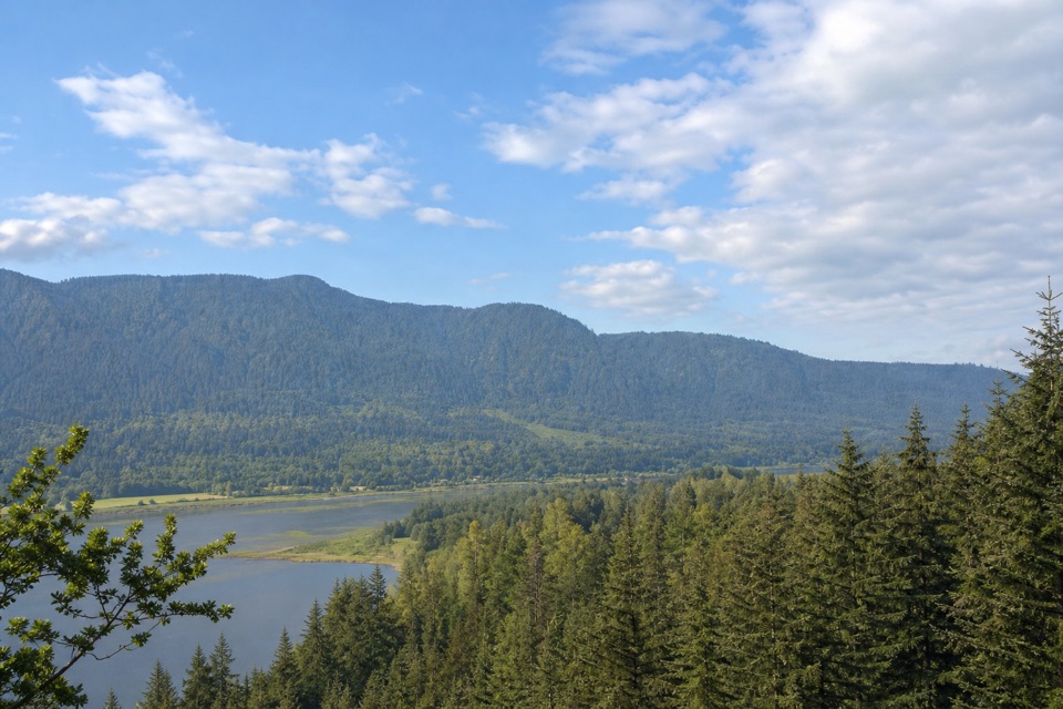
If someone in your group would rather skip the climb, a separate path from the picnic area to Riddell Lake is under half a mile round trip and gives a southern view of the monolith. For a photo from Beacon Rock itself, stop at an open bend on the ascent and include the river below the ledges; from the top, aim upriver toward the dam.

Wildlife

Wildlife in Columbia River Gorge

All Columbia River Gorge wildlife maps

Sighting maps show where each species has been reported across Columbia River Gorge. Wildlife moves, so no sighting is guaranteed.

Keep exploring

Near Beacon Rock

See it all on the map

Trails nearby

More stops nearby

Parkwolf’s Columbia River Gorge ranking

Top sights in Columbia River Gorge

All 78 places
  1. 1Multnomah FallsSight
  2. 2Vista House at Crown PointSight
  3. 3Rowena Crest OverlookSight
  4. 4Portland Women’s Forum State Scenic ViewpointSight
  5. 5Latourell FallsSight
  6. 7Columbia Gorge Discovery Center & MuseumSight

Take Parkwolf to Columbia River Gorge.

The audio tour guide for the drive, plus offline maps, trails, and wildlife heatmaps for when the signal drops.

4.7 from 8,600+ ratings

Download Parkwolf on the App StoreGet Parkwolf on Google Play