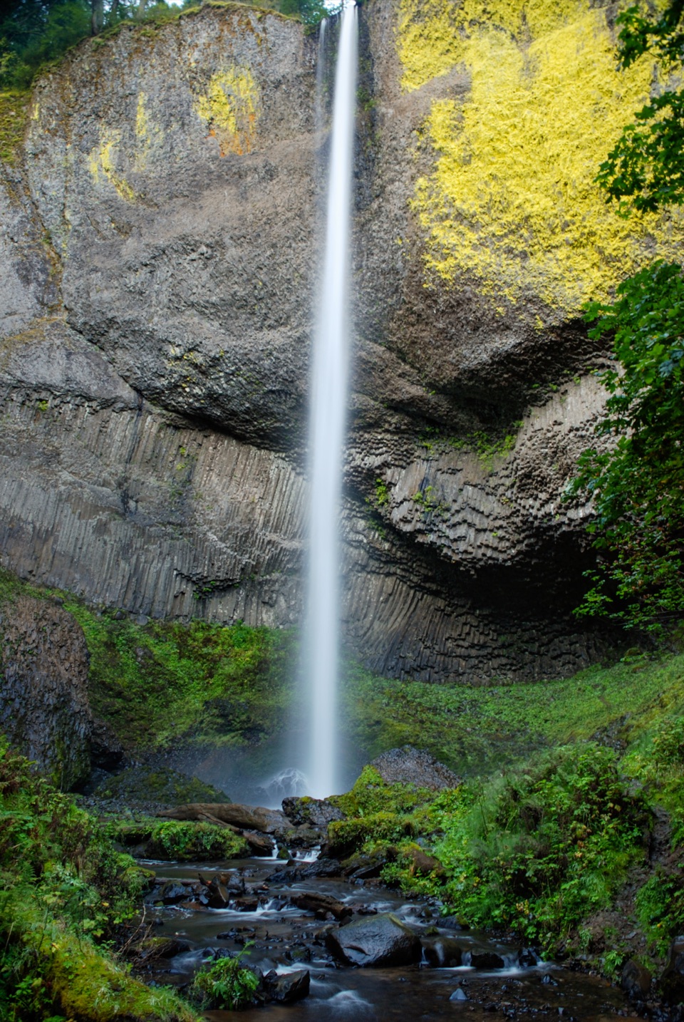
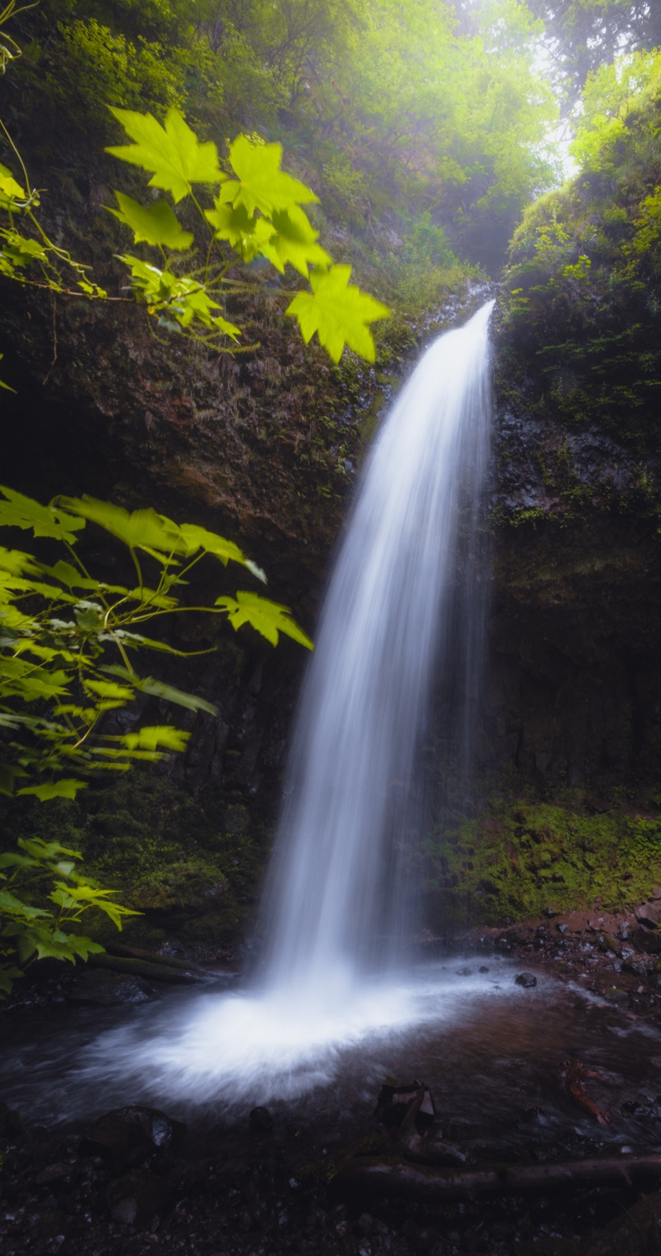
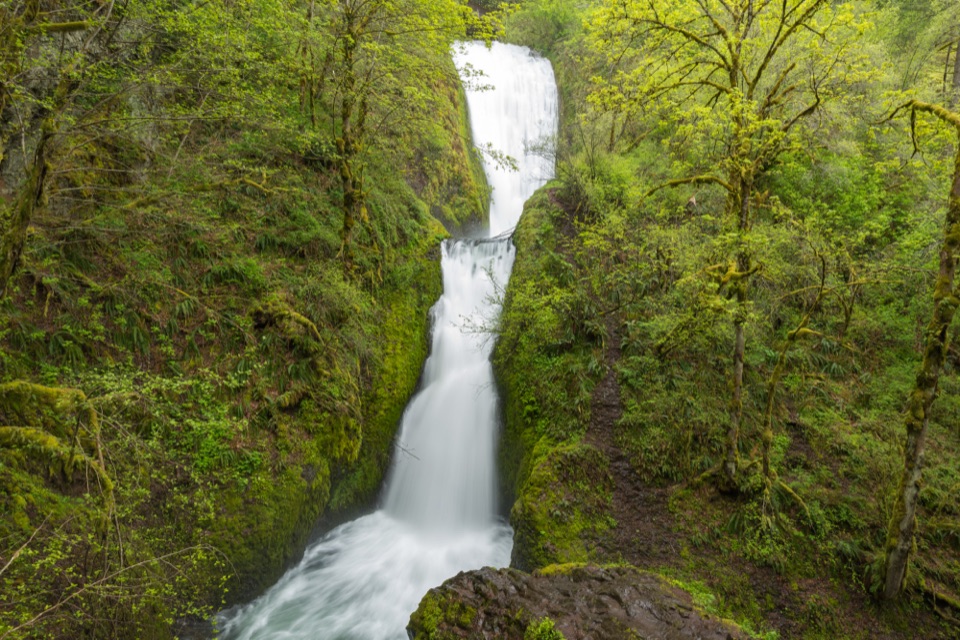
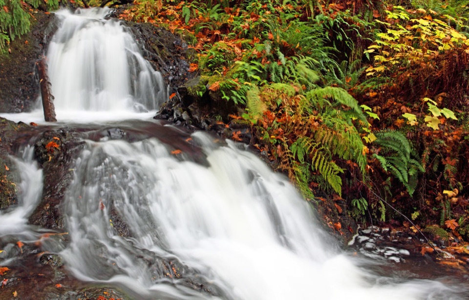
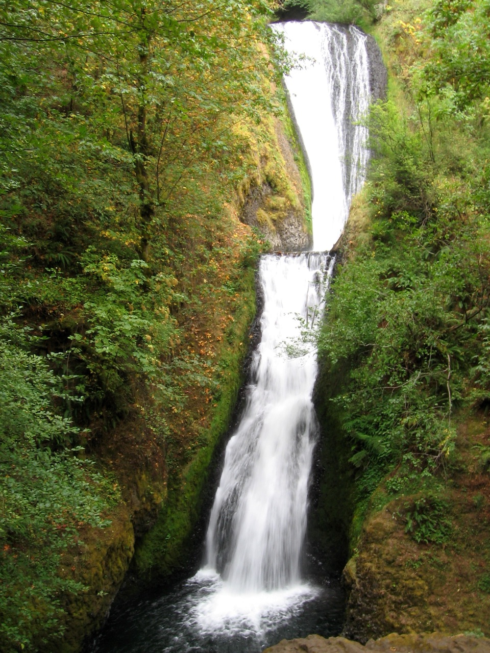
The lower falls alone is about a one-mile round trip on a paved path, described as accessible. It runs beneath the old highway bridge to the creek footbridge, then back. To reach Upper Latourell Falls, take the steeper route from the main highway trailhead. The state describes that hike as about two miles: it climbs through dense forest, crosses four small wooden bridges, follows Latourell Creek to the falls, then returns along the opposite bank. This upper falls has two drops, with a blocky upper tier partly hidden above a plunge into a pool.
There is also a longer, roughly three-mile circuit that visits both waterfalls and returns to the eastern parking area. The mileage changes with the route and parking area you choose. Expect some rocky footing and a highway crossing on the longer circuit; choose the paved lower path if you want the waterfall without a moderate hike.