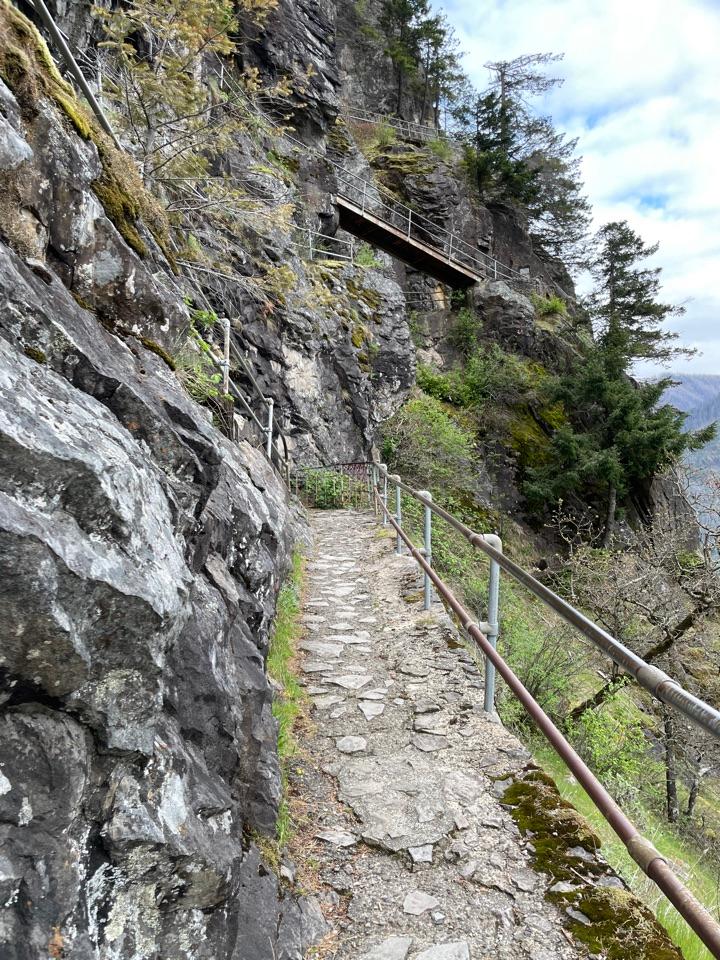
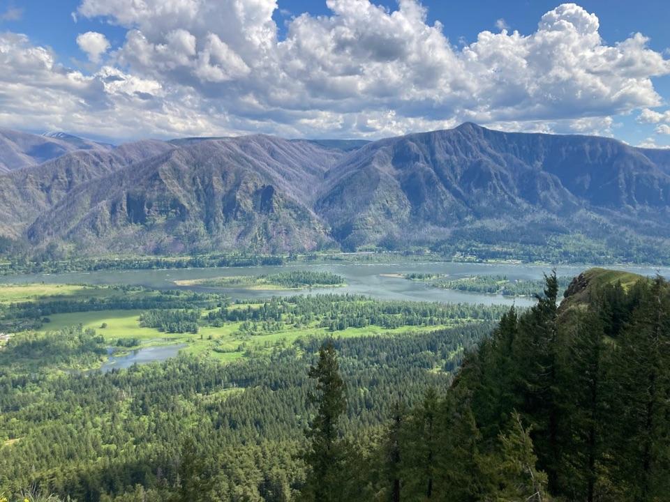
Parkwolf Tour GuideThe highest, rockiest slopes around here are a summer buffet for grizzly bears.
Columbia River Gorge Tour Guide
Columbia River Gorge, narrated.
Parkwolf is a GPS audio tour guide for Columbia River Gorge National Scenic Area. As you drive, it chimes in with what’s ahead: hidden gems, upcoming stops, history, geology, and wildlife, right through your car’s speakers.
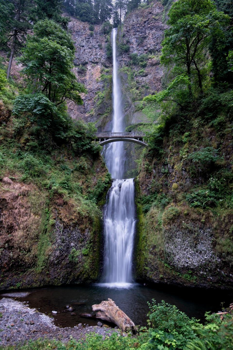
“You're approaching Multnomah Falls and its historic lodge. The falls drop about six hundred and twenty feet in two tiers, with Benson Bridge crossing between them.”
Plays as you drive up to Multnomah Falls in the Parkwolf Columbia River Gorge Tour Guide.
More stories near here in the app
Benson State Recreation Area
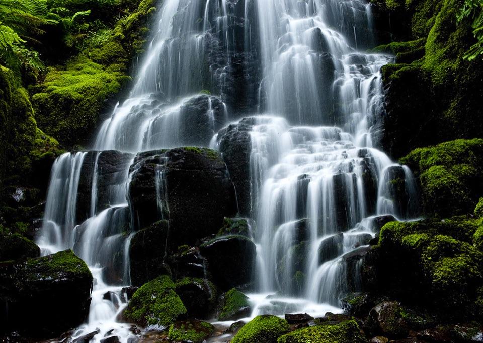
Wahkeena Falls
The Falls’ Hidden Supply
St. Cloud Day Use Area
217 audio storiesacross Columbia River Gorge’s roads, triggered by GPS as you drive
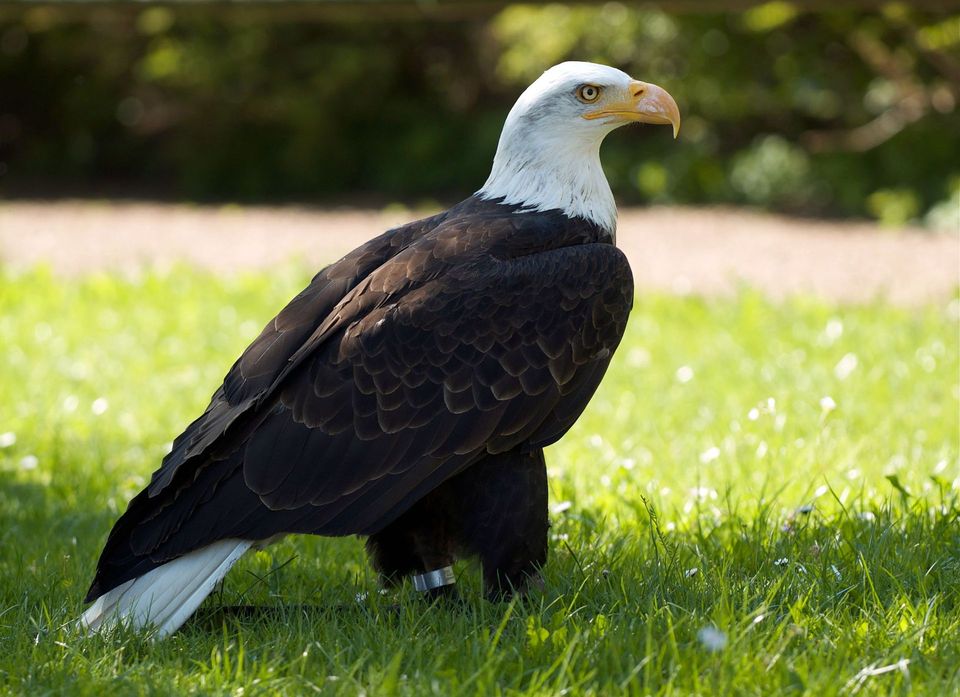
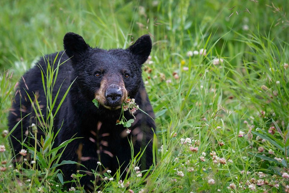
Wildlife heatmapsfor Bald Eagle, Black Bear, American Pika, and 13 more
Works offlinemaps, 111 trails, 78 places, and audio download before you lose signal
CarPlay readysimple controls built for the drive
★★★★★
“Fantastic app with many points of information… It’s great to just turn on while you’re driving and it gives you an audio tour of the national Park. We love it!!!!”
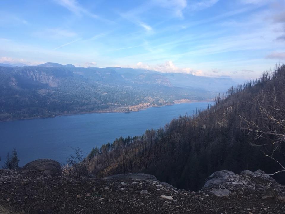
ClosureEagle Creek Fire-area trail and gorge closuresStay out of Ruckel Creek Trail 405, Tanner Butte Trail 401 north of its junction with Tanner Cutoff Trail 448, and the closed section of Oneonta Gorge; these closures protect forest users from…Official details
CautionTemporary Miller Island restrictionsFollow the temporary access and use restrictions on all National Forest System lands on Miller Island in Klickitat County, Washington.Official details