
Place · 1.8 mi away
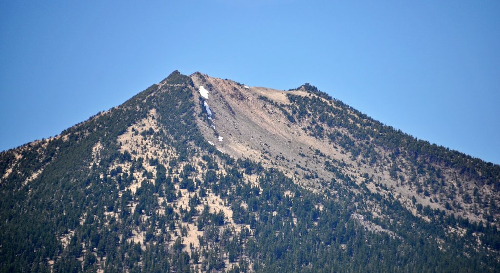
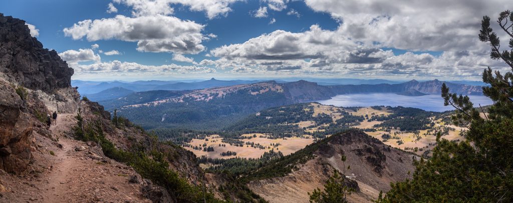
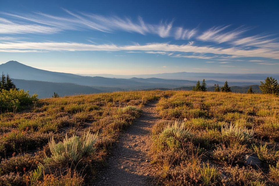
Mount Scott rises above the park’s east side and delivers the kind of panorama you daydream about—Crater Lake framed by distant Cascade summits and the wide‑open Klamath Basin. It’s the park’s highest summit, a separate ancient volcano that survived Mount Mazama’s caldera‑forming blast.
The Mount Scott Trail is a 4.4‑mile round‑trip, out‑and‑back climb with about 1,500 feet of gain. It’s a steady, well‑graded ascent that most fit hikers can handle in 2.5–3 hours. Expect a few rocky, loose sections near the top and consistent uphill the whole way.
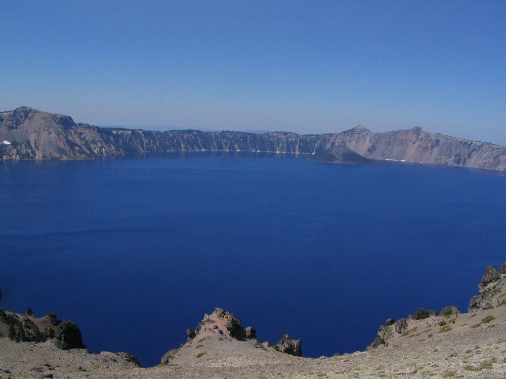
From the ridge and summit you get full‑on, 360° views—Crater Lake and Wizard Island, the High Cascades stretching in both directions, and the Klamath Basin to the east. A photogenic, two‑story fire lookout crowns the summit. In summer, pockets of alpine wildflowers dot the upper slopes.
This route is largely exposed, which means wind and strong sun are part of the deal. Snow can linger late; the trail is typically best from midsummer into early fall. Early fall cold snaps can bring icy, wind‑sculpted conditions near the top.
Clear days are everything here—save this one for good visibility. Start at sunrise or late afternoon for softer light, cooler temps, and fewer people. Sunrise and sunset hikes are popular because the grade is direct and the views earn the early wake‑up.
Access is off East Rim Drive with parking right by the signed trailhead. There’s no restroom, no water, and no services here—plan to tank up and take care of business elsewhere in the park before you arrive. Bring stout footwear, sun protection, and extra water; a headlamp is smart if you’re chasing dawn or dusk.
Mount Scott is a small stratovolcano (a parasitic cone) that erupted roughly 420,000 years ago—long before Mazama collapsed to form Crater Lake. Its summit lookout was first built in 1924 and replaced in 1952; today it’s maintained for emergency use only. The mountain’s andesitic lavas and scoria cap sit over slopes mantled with Mazama ash and pumice.
The high, open terrain and whitebark pine stands can host birds, small mammals, and the occasional deer. Early or late in the day is your best bet for activity.
Place · 1.8 mi away
Place · 1.9 mi away
Place · 2.1 mi away
Place · 2.6 mi away
Moderate · 0.8 mi away
Easy · 2.7 mi away
Easy · 4.3 mi away
Moderate · 5 mi away

Parkwolf Tour Guide
