Heddy Draw Horse Trail in Custer State Park

Custer State Park, SD

Heddy Draw Horse Trail

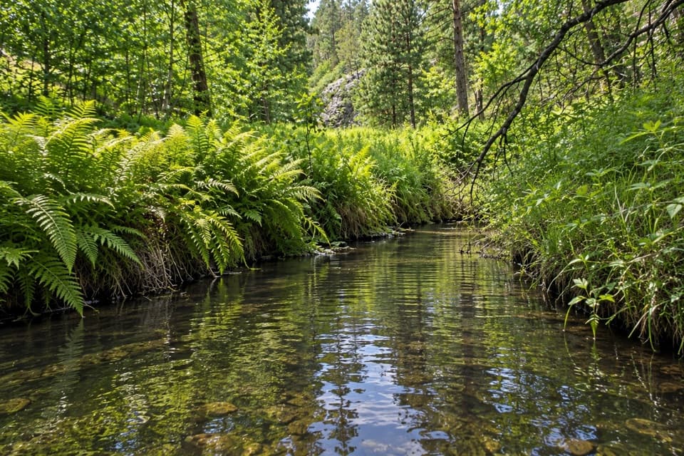
Steep Black Hills horse trail with a long descent into Heddy Draw.

Length
7.1mi
Time
4hr
Elev. change
617ft
Difficulty
Moderate
  • Dogs allowed
  • High point 5,502 ft

Hear the audio tour

Mount Coolidge and Heddy Overlook

Overview

About Heddy Draw Horse Trail

Why go

  • Marked route through the Heddy Draw horse-trail network
  • A substantial Black Hills outing with a defined return route

Heads up

  • Steep climb back toward Highway 87
  • Dedicated parking at the highway access was not verified

Map & elevation

The route

Loading the Custer map
Full map
Elevation4,885–5,502 ft
TrailheadHeddy Draw access at Highway 8743.74376, -103.47520
Keep this map with you offline in the Parkwolf app

Plan your hike

Before you go

Parking

No dedicated Heddy Draw parking was verified at the Highway 87 crossing. Park directions reach Heddy Draw from French Creek Horse Camp via Calkins Draw and Barnes Canyon Road as part of a longer ride; confirm a safe, legal starting point with Custer State Park before setting out.


Safety

Shared horse-trail corridor with a steep return climb. Park trail guidance warns about bison, rattlesnakes, poison ivy, steep rocky climbs and changing weather. A park entrance license is required; pets must remain on leashes no longer than 10 feet.

A park ranger sits on a dash-mounted phone, talking, as Parkwolf’s Tour Guide plays “Army Cutworm Moths: A Grizzly Bear Buffet” on Grand Loop Road below Dunraven Pass in Yellowstone
Parkwolf Tour GuideThe highest, rockiest slopes around here are a summer buffet for grizzly bears.

Custer Tour Guide

Your drive to Heddy Draw Horse Trail, narrated.

Parkwolf is a GPS audio tour guide for Custer State Park. As you drive, it chimes in with what’s ahead: hidden gems, upcoming stops, history, geology, and wildlife, right through your car’s speakers.

Recorded for this area

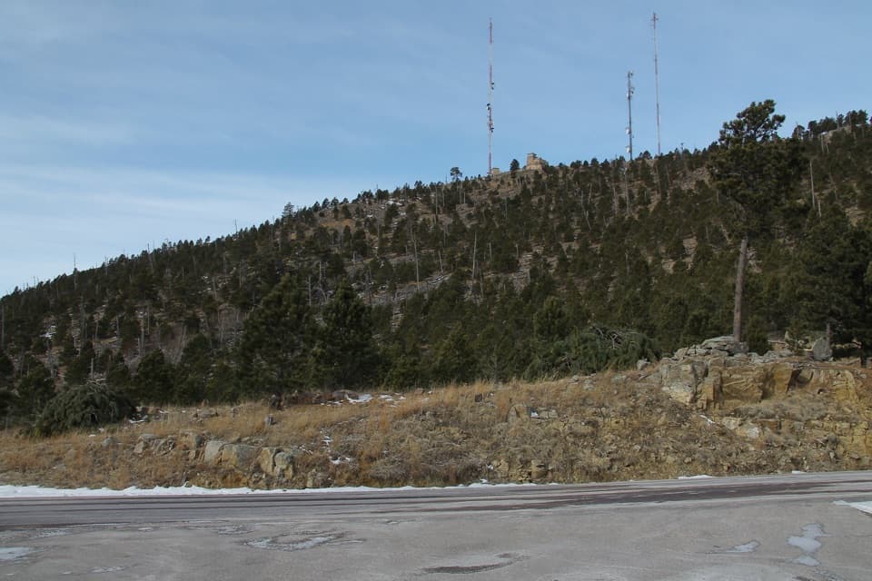
Mount Coolidge and Heddy Overlook
0:00 / 0:38
“You're approaching the turnoff for Mount Coolidge's summit road. The drive climbs narrow, winding gravel, with no access for campers or oversized vehicles.”

Plays on the road 0.2 mi from the trailhead in the Parkwolf Custer Tour Guide.

More stories near here in the app

  • Smoke Seen from Mount Coolidge
  • Badger Clark’s Singing Cowboy
  • Bighorns' Grip on the Rocks
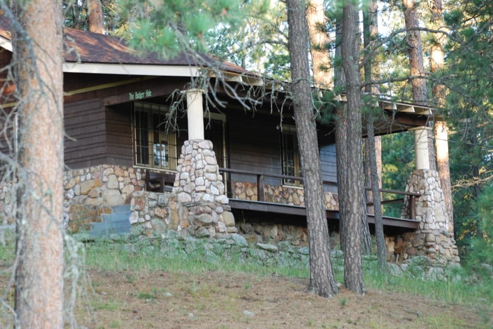
  • Badger Hole: The Poet’s Cabin
  • 82 audio storiesacross Custer’s roads, triggered by GPS as you drive
  • Wildlife heatmapsfor Bison, Wapiti, Bighorn Sheep, and 13 more
  • Works offlinemaps, 40 trails, 49 places, and audio download before you lose signal
  • CarPlay readysimple controls built for the drive
★★★★★
“We recently toured Badlands, Custer State Park, Mount Rushmore and more! We learned so much from this app as we toured each of these sites. The audio tours are worth the money.”
milesdavis11App Store review
Download Parkwolf on the App StoreGet Parkwolf on Google Play

4.7 from 8,600+ ratings

Trail guide

Hiking Heddy Draw Horse Trail

Route and mileageHeddy Draw Horse Trail follows a mapped 3.

Heddy Draw Horse Trail follows a mapped 3.54-mile corridor from the Highway 87 crossing into the Heddy Draw trail network. The route is stored once; the visitor itinerary is an out-and-back, about 7.1 miles total. The return toward the highway climbs steeply. Some listings describe shorter Heddy Draw routes, so this record follows the longer corridor that matches the named horse-trail way and the park’s directions.

Access and wayfindingNo dedicated parking at the Highway 87 crossing was verified.

No dedicated parking at the Highway 87 crossing was verified. The park’s horse-route directions approach Heddy Draw from French Creek Horse Camp by way of Calkins Draw and Barnes Canyon Road, then ride west through Heddy Draw to Highway 87. That nine-hour Trail 1 itinerary continues toward Mount Coolidge and is not the route stored here. Confirm a safe, legal place to start with the park before relying on the highway crossing.

Conditions and rulesThis is a marked horse-trail corridor, so expect equestrian traffic.

This is a marked horse-trail corridor, so expect equestrian traffic. The park advises visitors to watch for bison, rattlesnakes and poison ivy and to prepare for steep, rocky climbs and changing weather. A park entrance license is required. Pets are allowed on leash no longer than 10 feet.

Wildlife

Wildlife in Custer

All Custer wildlife maps

Sighting maps show where each species has been reported across Custer. Wildlife moves, so no sighting is guaranteed.

Keep exploring

Near Heddy Draw Horse Trail

See it all on the map

Trails that start nearby

Places near the trailhead

Parkwolf’s Custer ranking

Top-rated trails in Custer

All 40 trails
  1. 1Black Elk Peak Trail #9 SouthChallenging · 6.6 mi
  2. 2Cathedral Spires TrailChallenging · 1.2 mi
  3. 3Sunday Gulch TrailChallenging · 3 mi
  4. 4Little Devils Tower TrailChallenging · 3 mi
  5. 5Sylvan Lake Shore TrailModerate · 1 mi
  6. 6Black Elk Peak LoopChallenging · 7.1 mi

Take Parkwolf to Custer.

The audio tour guide for the drive, plus offline maps, trails, and wildlife heatmaps for when the signal drops.

4.7 from 8,600+ ratings

Download Parkwolf on the App StoreGet Parkwolf on Google Play