Legion Lake Trail in Custer State Park

Custer State Park, SD

Legion Lake Trail

A rocky ridge loop with blue markers and a Mount Coolidge glimpse.

Length
1mi
Time
1hr
Elev. change
387ft
Difficulty
Moderate
  • Loop
  • Dogs allowed
  • High point 5,502 ft

Hear the audio tour

Legion Lake: A Short Walk and Lakeside Lunch

Overview

About Legion Lake Trail

Why go

  • A proper climb and rocky granite in only about a mile.
  • Blue diamonds help when the upper tread gets faint.

Heads up

  • The short distance hides a steep, rough upper section.
  • The small high point is not a broad overlook.

Map & elevation

The route

Loading the Custer map
Full map
Elevation5,115–5,502 ft
TrailheadLegion Lake Campground Loop Trailhead near site 11E43.76449, -103.46704
Keep this map with you offline in the Parkwolf app

Plan your hike

Before you go

Parking

Park at the public Legion Lake lot by the lodge, then walk across US-16A to the campground. The trail begins behind the campground near site 11E; do not drive into the campground. A state park entrance license is required for vehicles. The campground is seasonal, and access to the trail when it is closed is unclear, so confirm before an off-season visit.

Safety

The upper climb is steep and rocky, and the tread becomes faint; follow the blue diamond markers. Trail access while the campground is closed is unconfirmed; the park entrance license applies to vehicles.

A park ranger sits on a dash-mounted phone, talking, as Parkwolf’s Tour Guide plays “Army Cutworm Moths: A Grizzly Bear Buffet” on Grand Loop Road below Dunraven Pass in Yellowstone
Parkwolf Tour GuideThe highest, rockiest slopes around here are a summer buffet for grizzly bears.

Custer Tour Guide

Your drive to Legion Lake Trail, narrated.

Parkwolf is a GPS audio tour guide for Custer State Park. As you drive, it chimes in with what’s ahead: hidden gems, upcoming stops, history, geology, and wildlife, right through your car’s speakers.

See the Custer audio tour

Recorded for this trailhead

Legion Lake: A Short Walk and Lakeside Lunch
0:00 / 0:29
“Legion Lake is coming up, a handy stop for a short walk and a meal beside the water. Choose the Lakeshore Trail from the fishing-dock lot for an easy circuit of about two-thirds of a mile, taking around half an hour.”

Plays as you drive up to this trailhead in the Parkwolf Custer Tour Guide.

More stories near here in the app

  • The Dragonfly's Underwater Life
  • Why Turtles Share a Sunny Log
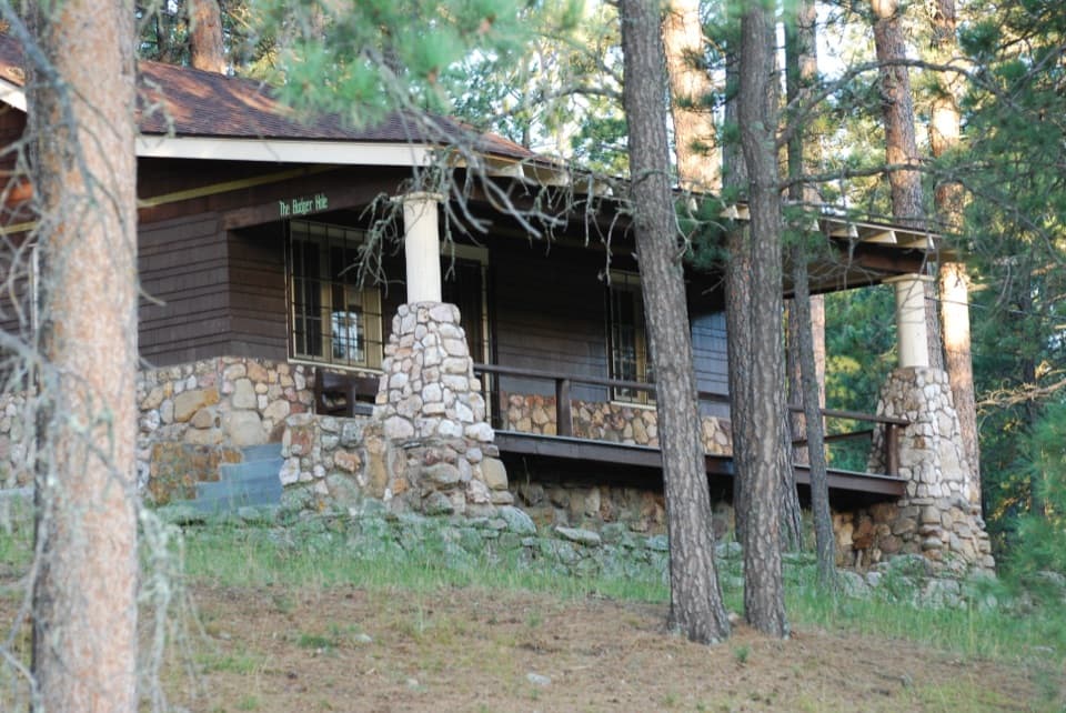
  • Badger Hole: The Poet’s Cabin
  • The Vulture's Wobbly Glide
  • 82 audio storiesacross Custer’s roads, triggered by GPS as you drive
  • Wildlife heatmapsfor Bison, Wapiti, Bighorn Sheep, and 13 more
  • Works offlinemaps, 40 trails, 49 places, and audio download before you lose signal
  • CarPlay readysimple controls built for the drive
★★★★★
“We recently toured Badlands, Custer State Park, Mount Rushmore and more! We learned so much from this app as we toured each of these sites. The audio tours are worth the money.”
milesdavis11App Store review
Download Parkwolf on the App StoreGet Parkwolf on Google Play

4.7 from 8,600+ ratings

Trail guide

Hiking Legion Lake Trail

The short ridge loopLegion Lake Trail is a roughly one-mile loop through pine and spruce woods behind Legion Lake…

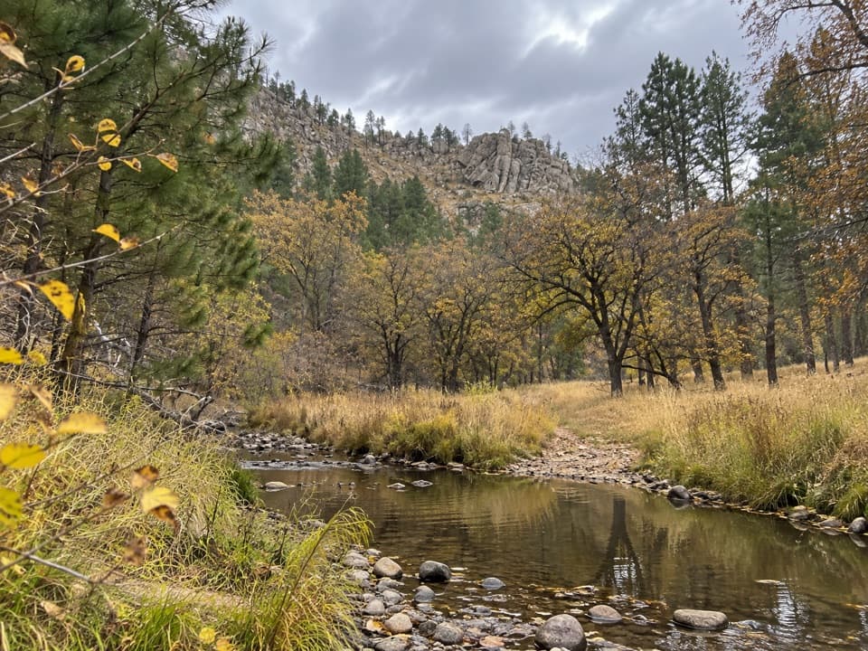
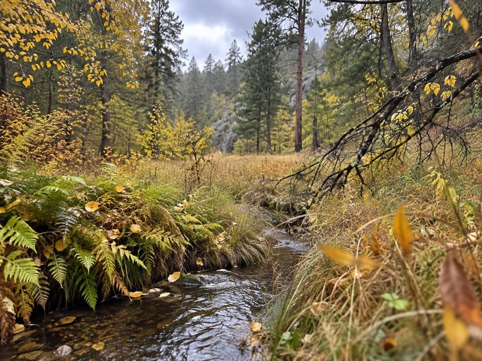
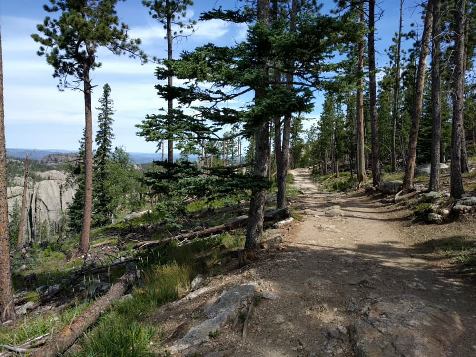
Legion Lake Trail is a roughly one-mile loop through pine and spruce woods behind Legion Lake Campground, separate from the easy shore path around the water. Allow about an hour. The trail gains roughly 340 feet as it climbs a rocky ridge, and it feels like a short uphill hike rather than a flat leg-stretcher. I’d choose it for a bit of work and a quiet forest walk, not for an easy lap beside the lake.

Follow the blue diamondsThe first stretch starts gently, then steepens quickly.

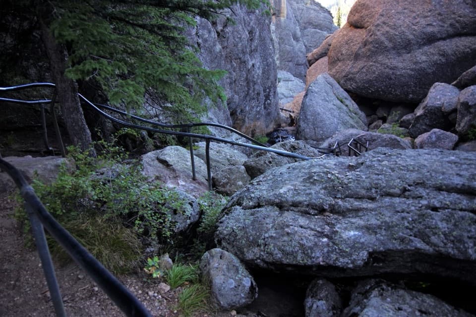
The first stretch starts gently, then steepens quickly. Higher up, granite breaks through the ground and the tread gets faint among the rocks. Follow the blue diamond markers when the path itself fades; they’re the useful guide through the roughest part. Counterclockwise puts the steep climb on the way up.

A small high point viewAt the ridge’s high point, a rocky outcrop opens a limited view toward Mount Coolidge to the…

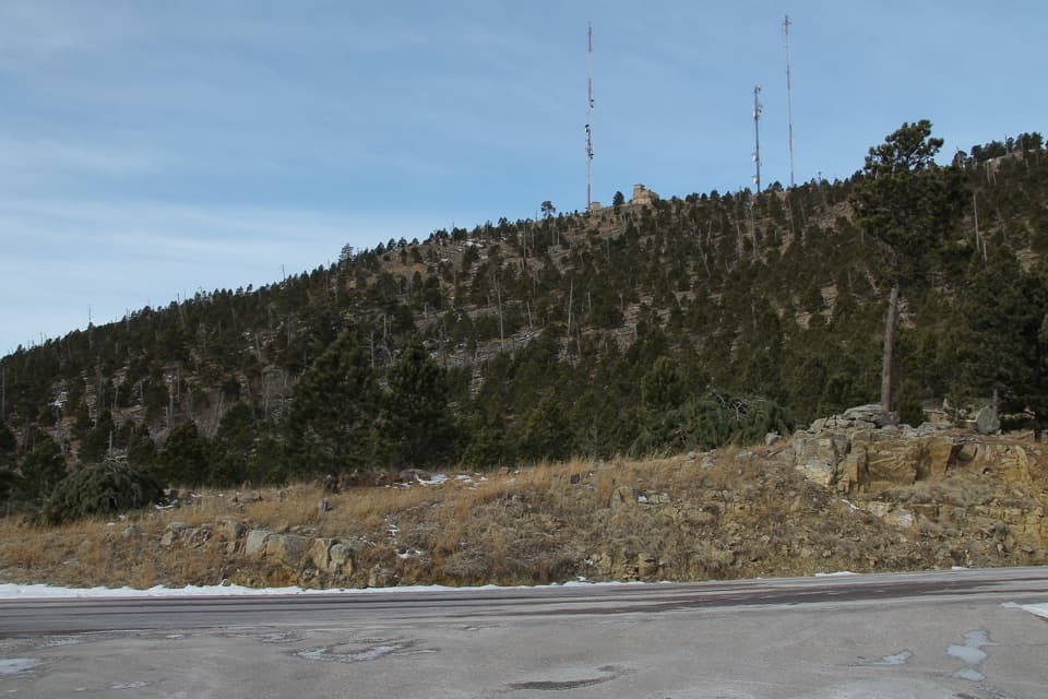
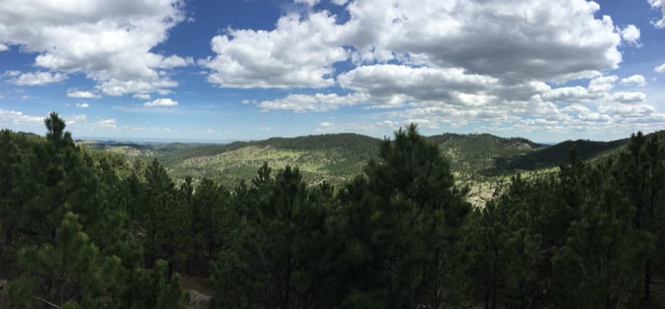
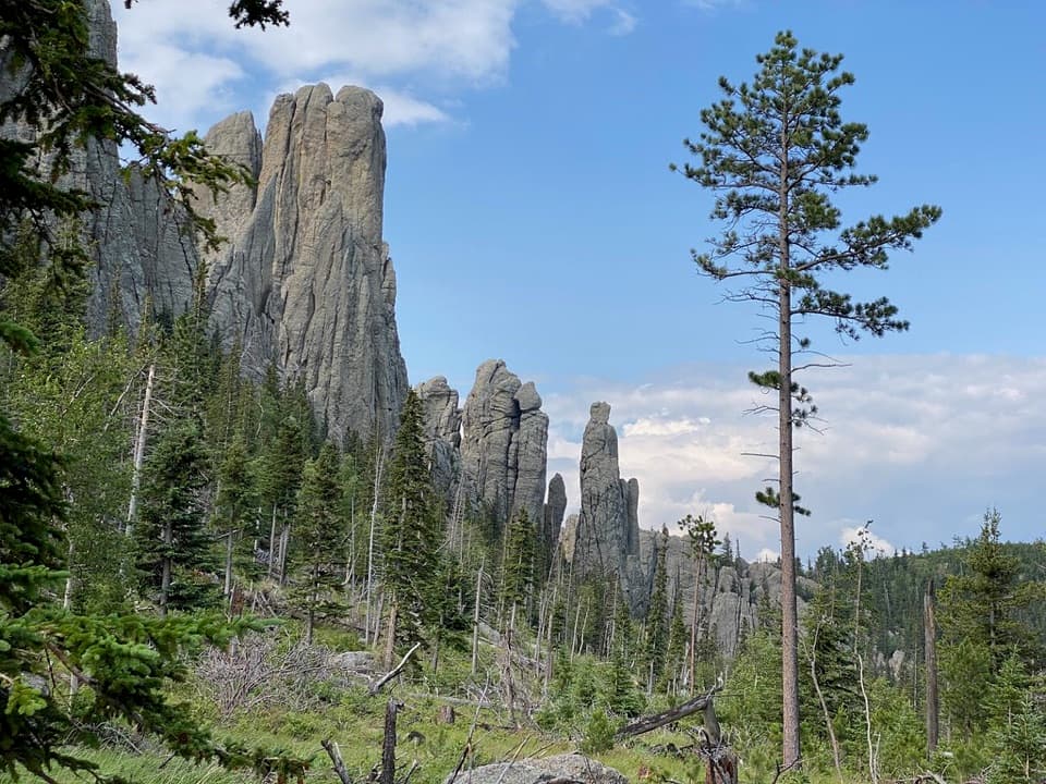
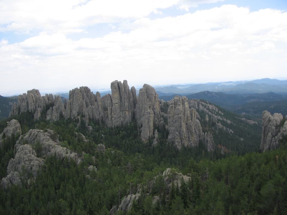
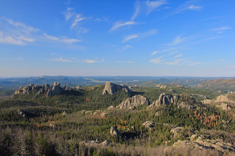
At the ridge’s high point, a rocky outcrop opens a limited view toward Mount Coolidge to the southwest. A view of Legion Lake is uncertain, so don’t count on a lake panorama. The payoff here is the boulder-strewn forest and that brief mountain glimpse, not a wide-open overlook.

Stay with the loopThe route descends through the trees on a wider, less rocky path and meets a Centennial Trail…

The route descends through the trees on a wider, less rocky path and meets a Centennial Trail connector near the bottom. Keep to the Legion Lake markers to finish the loop instead of continuing onto the longer route. This short circuit shares a small piece of the 111-mile Centennial Trail, which runs from Wind Cave National Park to Bear Butte State Park.

Name and accessThe lake and trail honor American Legion Post 46.

The lake and trail honor American Legion Post 46. In the 1930s, the post leased this land and built the original lodge as a summer camp for veterans; the area joined Custer State Park in 1941. Start behind Legion Lake Campground near site 11E. Use the public lot by the lodge and walk across US-16A; don’t drive into the campground. A state park entrance license is required for vehicles. The campground is seasonal and marked closed October through April, but the park doesn’t clarify whether trail access remains open then, so confirm before an off-season visit. Pets are allowed on leashes no longer than 10 feet. The nearby lodge lists limited-service food and a convenience/gift shop, and the campground has restrooms, showers and drinking water when open; none are along the loop.

Wildlife

Wildlife in Custer

All Custer wildlife maps

Sighting maps show where each species has been reported across Custer. Wildlife moves, so no sighting is guaranteed.

Keep exploring

Near Legion Lake Trail

See it all on the map

Trails that start nearby

Places near the trailhead

Parkwolf’s Custer ranking

Top-rated trails in Custer

All 40 trails
  1. 1Black Elk Peak Trail #9 SouthChallenging · 6.6 mi
  2. 2Cathedral Spires TrailChallenging · 1.2 mi
  3. 3Sunday Gulch TrailChallenging · 3 mi
  4. 4Little Devils Tower TrailChallenging · 3 mi
  5. 5Sylvan Lake Shore TrailModerate · 1 mi
  6. 6Black Elk Peak LoopChallenging · 7.1 mi

Take Parkwolf to Custer.

The audio tour guide for the drive, plus offline maps, trails, and wildlife heatmaps for when the signal drops.

4.7 from 8,600+ ratings

Download Parkwolf on the App StoreGet Parkwolf on Google Play