Parking
The official maps show nearby parking symbols but do not assign one to Saw Mill; confirm the access point before setting out.

Custer State Park, SD
A forested ridge traverse links two mapped Saw Mill sections.
Overview
Map & elevation
Plan your hike

The highest, rockiest slopes around here are a summer buffet for grizzly bears.
Custer Tour Guide
Parkwolf is a GPS audio tour guide for Custer State Park. As you drive, it chimes in with what’s ahead: hidden gems, upcoming stops, history, geology, and wildlife, right through your car’s speakers.
Recorded for this area
Mount Coolidge and Heddy Overlook“You're approaching the turnoff for Mount Coolidge's summit road. The drive climbs narrow, winding gravel, with no access for campers or oversized vehicles.”
Plays on the road 0.5 mi from the trailhead in the Parkwolf Custer Tour Guide.
More stories near here in the app
“We recently toured Badlands, Custer State Park, Mount Rushmore and more! We learned so much from this app as we toured each of these sites. The audio tours are worth the money.”


Trail guide
This is a point-to-point walk from the Heddy Draw side toward the Blue Bell/French Creek trail network. The park map labels a 0.6-mile Saw Mill connector joining a 1.6-mile section, about 2.2 miles one way. Allow roughly 1 hour 15 minutes for that direction; without a pickup, retracing the route makes it about 4.4 miles and roughly 2½ hours on foot.
The saved route starts at the north Saw Mill junction with the Heddy Draw trail network. The official maps don't identify a dedicated Saw Mill trailhead or assign parking to this line, so confirm access at both ends before relying on it as a through-hike. The wooded route climbs to about 5,500 feet before dropping toward the Blue Bell side; the park doesn't publish a Saw Mill-specific grade or surface description.
The park map places this route among its multi-use trails, but permitted users vary by signed segment; check postings as you go. Dogs are allowed on leash, up to 10 feet long. The Heddy Draw section opens onto forested Black Hills ridges, but the map doesn't mark a designated viewpoint or endpoint facilities.
Wildlife
 993 sightingsBisonMost seen around 7 AMSighting map
 91 sightingsWapitiMost seen around 6 AMSighting map
 258 sightingsBighorn SheepMost seen around 7 AMSighting map
 85 sightingsMountain GoatMost seen around 7 AMSighting map
 256 sightingsBurroMost seen around 6 PMSighting map
 707 sightingsPronghornMost seen around 6 AMSighting map
Sighting maps show where each species has been reported across Custer. Wildlife moves, so no sighting is guaranteed.
Keep exploring
 ModerateHeddy Draw Horse Trail7.1 mi · 4 hr · 0.5 mi awaySteep Black Hills horse trail with a long descent into Heddy Draw.
 EasyHeddy Lookout Trail0.8 mi · 30 min · 0.5 mi awayA short wooded walk to a covered overlook above Heddy Draw
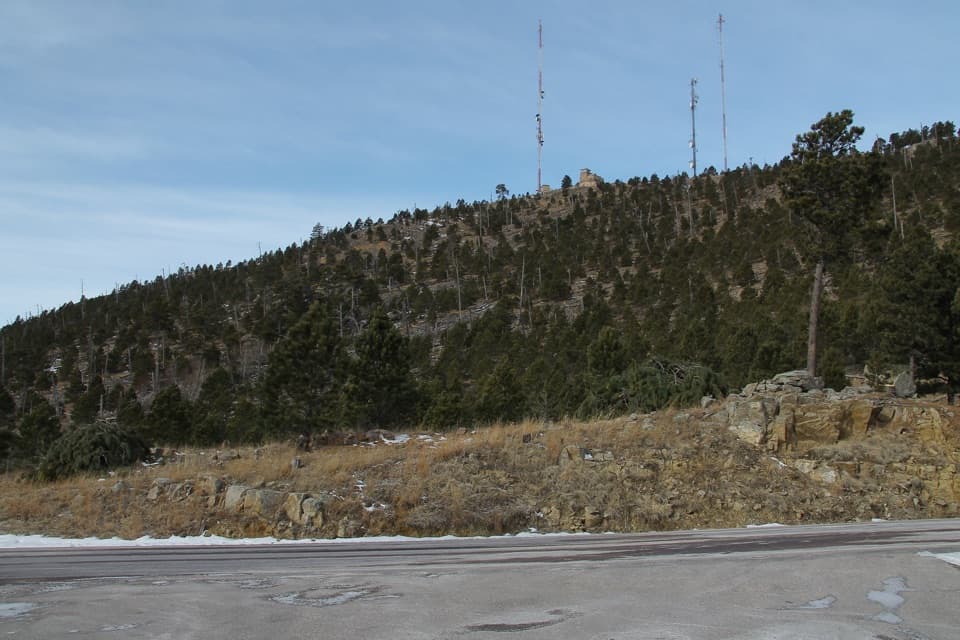 ModerateMount Coolidge Trail3.3 mi · 1.8 hr · 0.5 mi awayClimb the fire tower road for Black Hills views and CCC history.
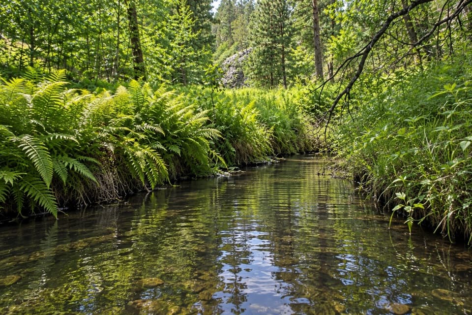 ModerateGalena Trail6.4 mi · 2.5 hr · 1 mi awayA 6.4-mile out-and-back on a marked, shared-use Custer trail.
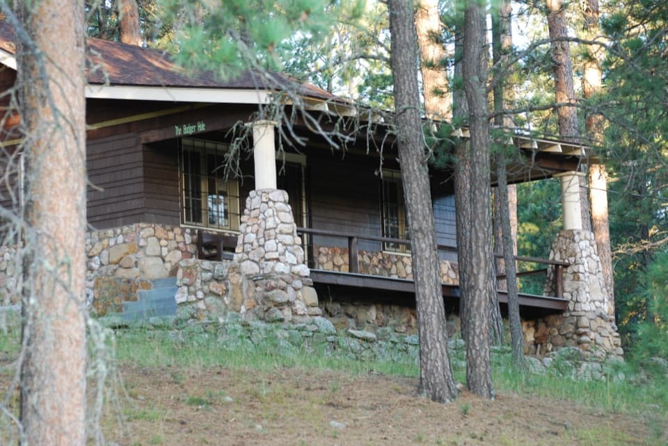 EasyBadger Clark Trail0.6 mi · 45 min · 1 mi awayRock-lined tread, poetry signs, and a loop beside Badger Hole.
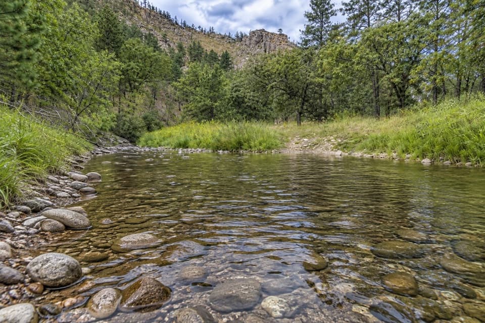 ModerateFrench Creek via Centennial Trail8 mi · 4.5 hr · 1 mi awayA steep Centennial descent to rocky, crossing-filled French Creek.
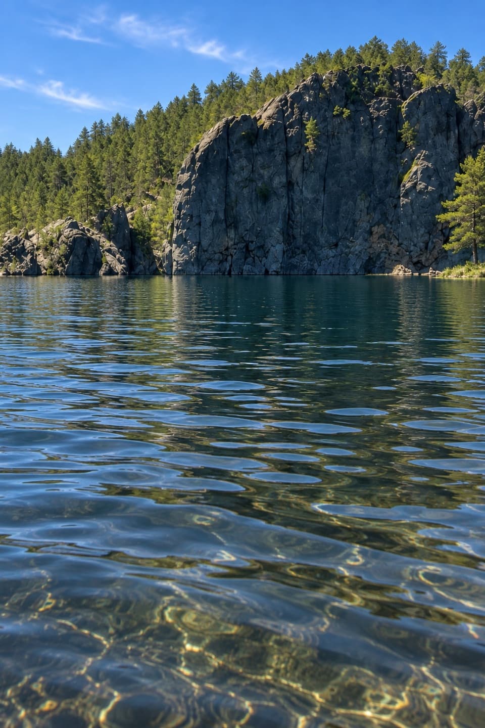 EasyLegion Lakeshore Trail0.7 mi · 30 min · 1.2 mi awayAn easy lakeside loop beneath granite cliffs and pines.
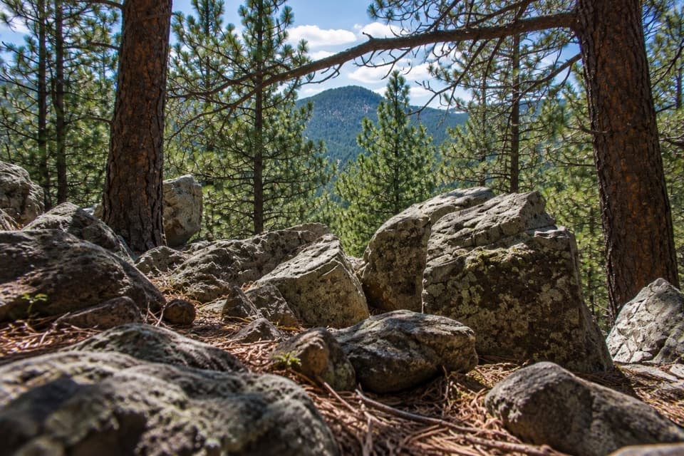 ModerateLegion Lake Trail1 mi · 1 hr · 1.4 mi awayA rocky ridge loop with blue markers and a Mount Coolidge glimpse.
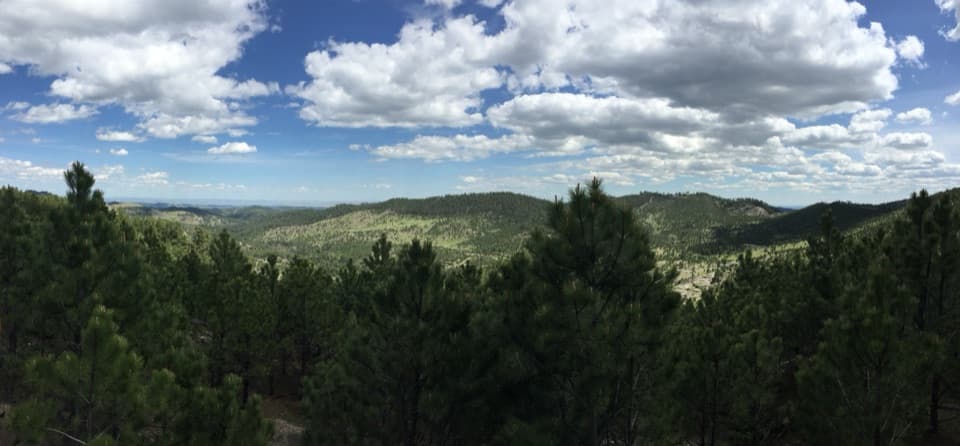 Scenic pullout · 0.4 mi awayHeddy Draw OverlookA short walk to a covered shelter and broad Black Hills views.
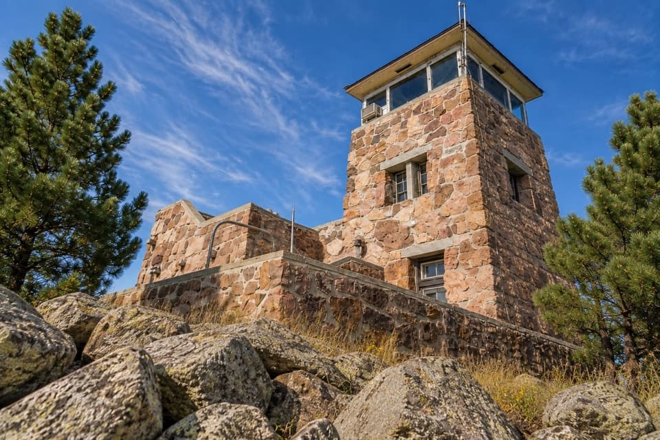 Sight · 0.8 mi awayMount Coolidge Fire TowerClear-day views reach Rushmore, Crazy Horse and the Needles.Sight · 1 mi awayBadger Hole Historic SiteA poet’s furnished cabin with a short, story-filled woodland loop.
 Sight · 1.1 mi awayLegion LakeBeach, paddling and an easy shoreline loop in one stop.
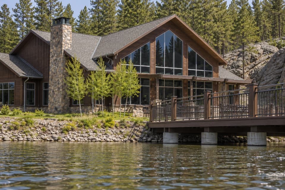 Lodging · 1.2 mi awayLegion Lake LodgeCabins, lakeside dining and boat rentals share one stop.
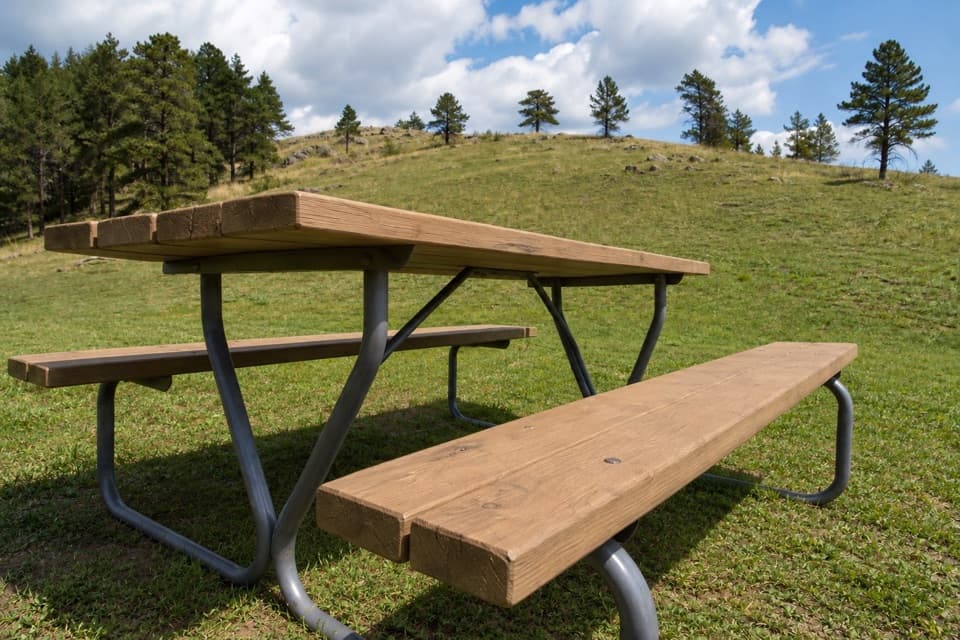 Campground · 1.3 mi awayLegion Lake CampgroundCamp in the trees, with the lake and lodge across US 16A.
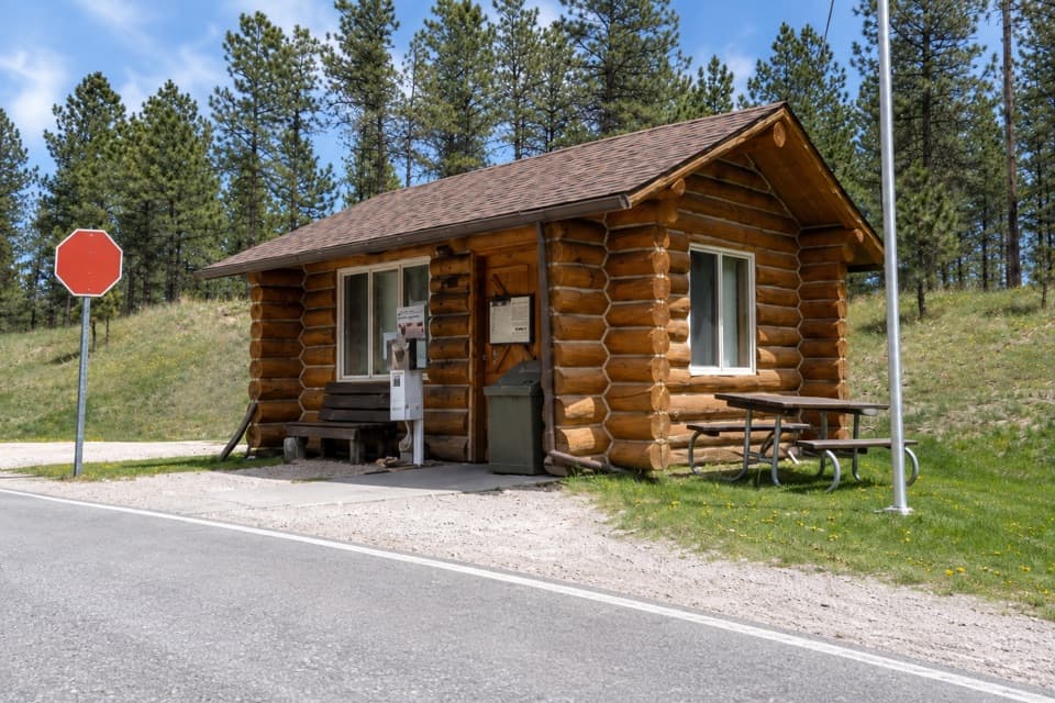 Entrance station · 1.7 mi awayWilson’s Corner Entrance StationA quick checkpoint before the Needles Highway’s granite spires and tunnels.
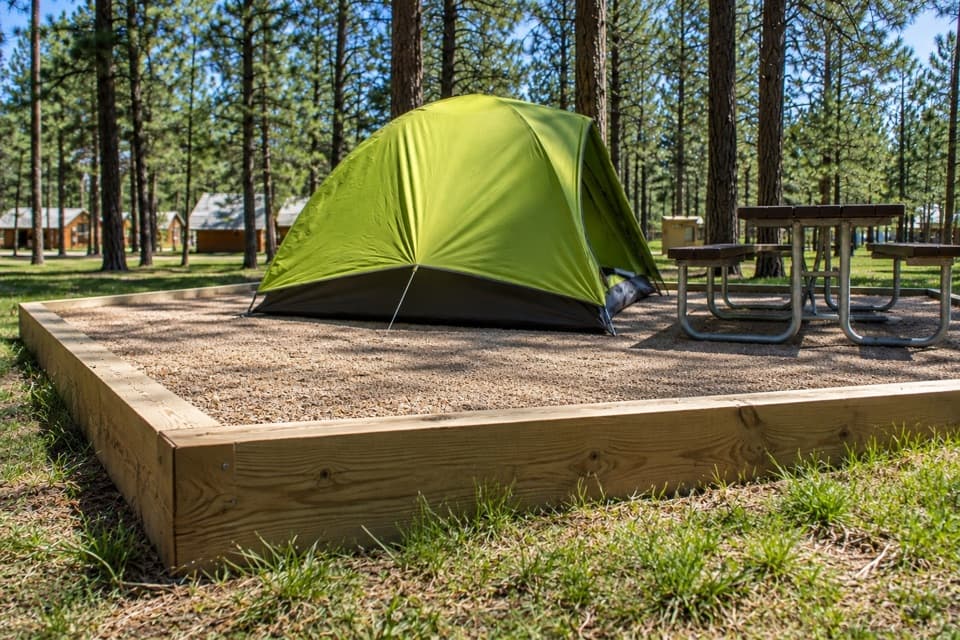 Campground · 2 mi awayBlue Bell CampgroundPine shade, tent pads, and cabins beside French Creek.
Parkwolf’s Custer ranking

The audio tour guide for the drive, plus offline maps, trails, and wildlife heatmaps for when the signal drops.





