Black Elk Peak Loop in Custer State Park

#6 of 40 trails in Custer

Custer State Park, SD

Black Elk Peak Loop

A 7.1-mile summit loop climbs Trail #4 and returns on #9.

Photo: Wikimedia Commons
Length
7.1mi
Time
4hr
Elev. change
984ft
Difficulty
Challenging
  • Loop
  • Dogs allowed
  • High point 7,152 ft

Hear the audio tour

Sylvan Lake: Rocks and Water

Overview

About Black Elk Peak Loop

Why go

  • A true loop with different ascent and descent routes
  • Stone lookout tower and wide summit views

Heads up

  • Several numbered junctions are easy to miss on the return
  • No trail restrooms or verified drinking-water source.

Map & elevation

The route

Loading the Custer map
Full map
Elevation6,168–7,152 ft
TrailheadSylvan Lake Day Use Area (Trail 9 footbridge)43.84654, -103.56008
Keep this map with you offline in the Parkwolf app

Plan your hike

Before you go

Parking

Use Sylvan Lake Day Use Area, north of Needles Highway (SD 87). This loop starts near the Trail 9 footbridge and follows a short day-use connector to Trail 4 at the southeast side of the parking area. A Custer State Park entrance license is required before parking.

Safety

A Custer State Park entrance license is required. Numbered wilderness junctions are easy to miss on the return; the route has rugged, rocky footing and summer storms can bring hail and strong wind. The summit is cooler and windier than the lake. Carry water; there are no trail restrooms or verified drinking-water sources.

A park ranger sits on a dash-mounted phone, talking, as Parkwolf’s Tour Guide plays “Army Cutworm Moths: A Grizzly Bear Buffet” on Grand Loop Road below Dunraven Pass in Yellowstone
Parkwolf Tour GuideThe highest, rockiest slopes around here are a summer buffet for grizzly bears.

Custer Tour Guide

Your drive to Black Elk Peak Loop, narrated.

Parkwolf is a GPS audio tour guide for Custer State Park. As you drive, it chimes in with what’s ahead: hidden gems, upcoming stops, history, geology, and wildlife, right through your car’s speakers.

Recorded for this trailhead

Sylvan Lake: Rocks and Water
0:00 / 0:34
“You're coming up on Sylvan Lake, where tall granite outcrops rise straight beside the water. I'd stop here for the one-mile shore loop; allow about an hour to see the rocks and little coves up close.”

Plays as you drive up to this trailhead in the Parkwolf Custer Tour Guide.

More stories near here in the app

  • Sylvan Lake Lodge: A Meal Above the Lake
  • Little Devils Tower: The Summit Scramble
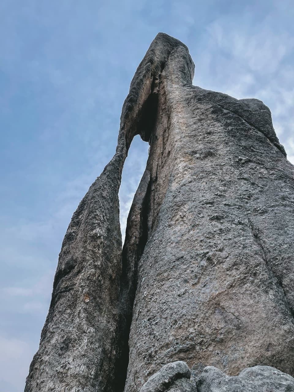
  • Needle’s Eye: The Rock and the Tunnel
  • Why It’s Called Black Elk Peak
  • 82 audio storiesacross Custer’s roads, triggered by GPS as you drive
  • Wildlife heatmapsfor Bison, Wapiti, Bighorn Sheep, and 13 more
  • Works offlinemaps, 40 trails, 49 places, and audio download before you lose signal
  • CarPlay readysimple controls built for the drive
★★★★★
“We recently toured Badlands, Custer State Park, Mount Rushmore and more! We learned so much from this app as we toured each of these sites. The audio tours are worth the money.”
milesdavis11App Store review
Download Parkwolf on the App StoreGet Parkwolf on Google Play

4.7 from 8,600+ ratings

Trail guide

Hiking Black Elk Peak Loop

The routeBlack Elk Peak Loop is a 7.

Black Elk Peak Loop is a 7.1-mile loop from Sylvan Lake Day Use Area to Black Elk Peak, climbing by Trail 4 and Norbeck Trail 3 and returning on Trail 9 South. Start at the Trail 9 footbridge near the lake, follow a short day-use connector to the southeast corner of the parking area, and take Trail 4 to Norbeck Trail 3. Stay left where Grizzly Creek Trail 7 branches off, then follow Trail 3 to Trail 9 and continue to the summit. Retrace the short summit access, then descend Trail 9 South to Sylvan Lake. The mapped line includes the day-use connector and does not take either the Little Devil’s Tower spur or the Cathedral Spires side trip. The full loop measures about 7.1 miles; posted mileage for the Trail 4 approach leaves its endpoint unclear, so other map estimates may vary. Plan about four hours, plus time for a summit stop. A direct Trail 9 out-and-back from the footbridge is the most-traveled and shortest park approach if you prefer fewer route choices.


The climb and footingThe Trail 4 and Norbeck side adds extra junctions and rougher footing to the summit walk.

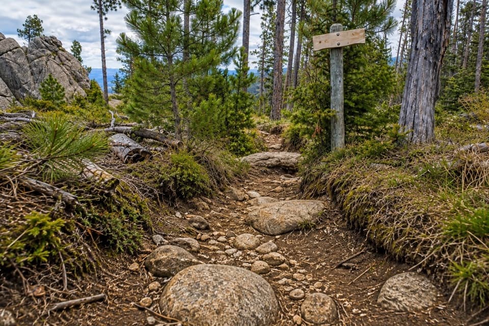
The Trail 4 and Norbeck side adds extra junctions and rougher footing to the summit walk. Expect uneven ground, loose rock and granite; Trail 4 is rated from moderate to strenuous. Near the summit, the path crosses open rock beside the tower. Take your time on the steeper, rocky sections and wear shoes with good grip. At 7,242 feet, the summit is high enough for cooler and windier conditions than the lake. This is a hard outing even though the distance fits within a day hike.

The junctionsStop at the numbered branches and check the markers.

Stop at the numbered branches and check the markers. The wilderness paths connect at Norbeck Trail 3, Grizzly Creek Trail 7 and Trail 9; these turns are easy to miss, especially on the return. Keep left at the Trail 7 junction to remain on Norbeck Trail 3. After visiting the summit, retrace the short summit access to Trail 9, then stay on its south branch to return to the lake. This outing makes a loop, but it is assembled from numbered trails rather than marked as one continuous route, so following the sequence matters.

At the high pointBlack Elk Peak rises to 7,242 feet, South Dakota’s highest point.

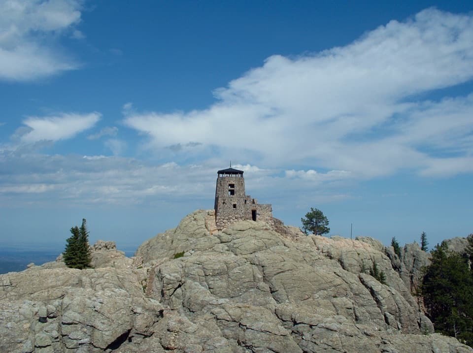
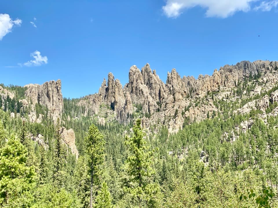
Black Elk Peak rises to 7,242 feet, South Dakota’s highest point. A stone fire lookout tower stands on the summit. The Civilian Conservation Corps built it in 1938, and it was taken out of service in 1967. Stone, sand and cement were hauled more than three miles up the mountain in horse- and mule-drawn carts. On clear days, the view can reach across five states and over the granite spires and forested ridges of the Black Hills. Give yourself a pause here before taking the different trail back down.

The nameThe peak was formerly called Harney Peak and took its current name in 2016 for Lakota leader…

The peak was formerly called Harney Peak and took its current name in 2016 for Lakota leader Nicholas Black Elk. He is said to have experienced a vision here at age nine. The summit’s history and name are part of the place; enjoy the view with respect for its significance and the surrounding wilderness.

Before you goGet a Custer State Park entrance license before parking.

Get a Custer State Park entrance license before parking. Rules change along this route: in the park, dogs must be on a leash no longer than 10 feet; in the Black Elk Wilderness, pets must be leashed or under strict voice control. Keep pets off the designated swimming beach at the lake access. Register at the wilderness portal and carry the form. There are no restrooms along the trails, and no drinking-water source is identified on the route, so bring at least a quart per person and enough for the full outing. Summer storms can bring hail, strong wind and heavy rain; the summit is cooler and windier than the trailhead. Pack an extra layer and check the sky before committing to the final ascent.

Wildlife

Wildlife in Custer

All Custer wildlife maps

Sighting maps show where each species has been reported across Custer. Wildlife moves, so no sighting is guaranteed.

Keep exploring

Near Black Elk Peak Loop

See it all on the map

Trails that start nearby

Places near the trailhead

Parkwolf’s Custer ranking

Top-rated trails in Custer

All 40 trails
  1. 1Black Elk Peak Trail #9 SouthChallenging · 6.6 mi
  2. 2Cathedral Spires TrailChallenging · 1.2 mi
  3. 3Sunday Gulch TrailChallenging · 3 mi
  4. 4Little Devils Tower TrailChallenging · 3 mi
  5. 5Sylvan Lake Shore TrailModerate · 1 mi
  6. 7Black Elk Peak Trail #4Challenging · 6.5 mi

Take Parkwolf to Custer.

The audio tour guide for the drive, plus offline maps, trails, and wildlife heatmaps for when the signal drops.

4.7 from 8,600+ ratings

Download Parkwolf on the App StoreGet Parkwolf on Google Play