Little Devils Tower Trail in Custer State Park

#4 of 40 trails in Custer

Custer State Park, SD

Little Devils Tower Trail

Granite chimneys lead to a summit view that earns the scramble.

Photo: Wikimedia Commons
Length
3mi
Time
3hr
Elev. change
568ft
Difficulty
Challenging
  • Dogs allowed
  • High point 6,857 ft

Hear the audio tour

Little Devils Tower: The Summit Scramble

Overview

About Little Devils Tower Trail

Why go

  • A hands-on granite summit with a 360-degree view over the Cathedral Spires and Black Elk Peak.
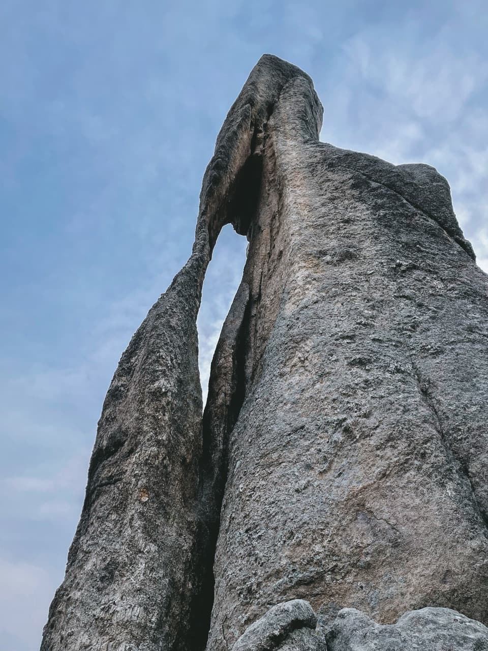
  • The lower approach crosses striking granite formations before the main climb.

Heads up

  • Narrow rock chimneys and uneven summit boulders make the final scramble a real barrier for some hikers and dogs.
  • The Trail #4 connections are easy to miss, and parking at the small trailhead is limited.
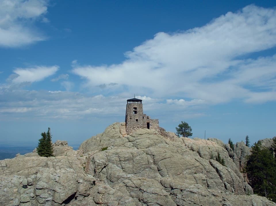
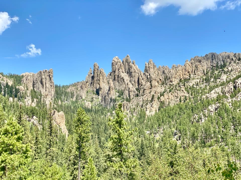
Little Devils Tower is part of the same ancient granite core as Black Elk Peak, not a smaller version of Wyoming’s Devils Tower. At about 6,962 feet, its top is a broad fin with a 360-degree view. Cathedral Spires stand close by, and the historic stone tower on Black Elk Peak is visible across the ridge. On a clear day the view reaches toward the Nebraska Sandhills and Wyoming plains. For a photo, include some of the summit rock in the foreground and sweep across the Spires; the granite gives the panorama a sense of scale.
Parkwolf’s verdictWhy the summit is worth it

Map & elevation

The route

Loading the Custer map
Full map
Elevation6,289–6,857 ft
TrailheadLittle Devil’s Tower Trailhead, Needles Highway (SD-87)43.84331, -103.55236
Keep this map with you offline in the Parkwolf app

Plan your hike

Before you go

Parking

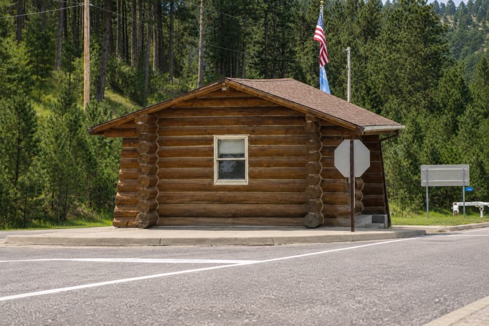
Use the small Little Devil’s Tower parking area on Needles Highway (SD-87), about a mile east of Sylvan Lake. Parking is limited; a vault toilet is marked at the trailhead. A Custer State Park entrance license is required. Starting at Sylvan Lake adds about a mile round trip and is not the 3-mile route described here.


Safety

The final summit approach scrambles over uneven granite through narrow rock chimneys to an exposed fin. Stop before the scramble if you are not comfortable climbing with your hands. Summer thunderstorms, hail, and strong wind can make the summit dangerous. Watch for Trail #4 junctions and follow the blue diamonds and signs. Pets are allowed under control; in the wilderness they must be leashed or under strict voice control.

A park ranger sits on a dash-mounted phone, talking, as Parkwolf’s Tour Guide plays “Army Cutworm Moths: A Grizzly Bear Buffet” on Grand Loop Road below Dunraven Pass in Yellowstone
Parkwolf Tour GuideThe highest, rockiest slopes around here are a summer buffet for grizzly bears.

Custer Tour Guide

Your drive to Little Devils Tower Trail, narrated.

Parkwolf is a GPS audio tour guide for Custer State Park. As you drive, it chimes in with what’s ahead: hidden gems, upcoming stops, history, geology, and wildlife, right through your car’s speakers.

Recorded for this trailhead

Little Devils Tower: The Summit Scramble
0:00 / 0:23
“You're approaching the Little Devils Tower trailhead. This is a good choice if you want a hands-on climb to a bare granite summit, with Cathedral Spires close by and Black Elk Peak across the ridge.”

Plays as you drive up to this trailhead in the Parkwolf Custer Tour Guide.

More stories near here in the app

  • Needle’s Eye: The Rock and the Tunnel
  • Sylvan Lake: Rocks and Water
  • Sylvan Lake Lodge: A Meal Above the Lake
  • Cathedral Spires: Roadside or on Foot
  • 82 audio storiesacross Custer’s roads, triggered by GPS as you drive
  • Wildlife heatmapsfor Bison, Wapiti, Bighorn Sheep, and 13 more
  • Works offlinemaps, 40 trails, 49 places, and audio download before you lose signal
  • CarPlay readysimple controls built for the drive
★★★★★
“We recently toured Badlands, Custer State Park, Mount Rushmore and more! We learned so much from this app as we toured each of these sites. The audio tours are worth the money.”
milesdavis11App Store review
Download Parkwolf on the App StoreGet Parkwolf on Google Play

4.7 from 8,600+ ratings

Trail guide

Hiking Little Devils Tower Trail

A short trail with a real summit scrambleLittle Devils Tower Trail is a 3-mile out-and-back from the signed trailhead on Needles…

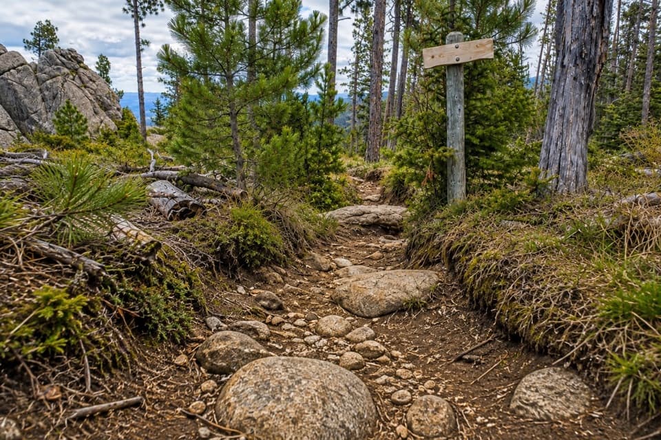
Little Devils Tower Trail is a 3-mile out-and-back from the signed trailhead on Needles Highway, following Trail #4 to the named summit spur and returning the same way. The route is listed at 1.5 miles each way, with two to four hours allowed and a strenuous rating. The first stretch is a fairly gentle walk among granite formations; the climb gets steeper, and the last part is a hands-on scramble through narrow rock chimneys to a broad granite fin. Do this one if you’re comfortable climbing over uneven rock. If you’d rather not scramble, turn around at the lower outcrop before the tight passages.

Pick the right branchAbout 0.

About 0.2 mile in, a side trail leads toward Poet’s Table; stay right on the Little Devils Tower route. The first 0.7 mile crosses granite formations with only a modest rise. After that, the path climbs through mixed ponderosa pine, birch, and aspen toward the ridge. Near the top, a junction connects with routes toward Cathedral Spires and Black Elk Peak; stay left for Little Devils Tower. The park warns that trail connections and markings can be easy to miss, so pay attention on the way back as well as on the way up.

The final climbThe summit spur crosses uneven granite and narrows into cracks between the rocks.

The summit spur crosses uneven granite and narrows into cracks between the rocks. The route account describes a sharp right after the first scramble; look for the continuation rather than forcing a way up a nearby face. The last rocks are the hardest part, and visitors report turning back there when the scramble feels too exposed or awkward. The summit is a bare rock fin, not a built platform. There’s no shame in stopping at the lower outcrop: it gives you a taste of the granite and a view without committing to the narrowest section.

Start at the dedicated trailheadThe small parking area is on Needles Highway (SD-87), about a mile east of Sylvan Lake.

The small parking area is on Needles Highway (SD-87), about a mile east of Sylvan Lake. Parking is limited, and there’s a vault toilet at the trailhead; no restrooms or water are provided along the route. A Custer State Park entrance license is required. The 3-mile figure starts here: beginning at Sylvan Lake adds about a mile round trip, while Cathedral Spires and Black Elk Peak approaches are different hikes. Pets are allowed under control; wilderness rules require a leash or strict voice control, and the final scramble may not suit every dog. The summit is exposed, so summer storms, hail, and strong wind are good reasons to turn around early.

Wildlife

Wildlife in Custer

All Custer wildlife maps

Sighting maps show where each species has been reported across Custer. Wildlife moves, so no sighting is guaranteed.

Keep exploring

Near Little Devils Tower Trail

See it all on the map

Trails that start nearby

Places near the trailhead

Parkwolf’s Custer ranking

Top-rated trails in Custer

All 40 trails
  1. 1Black Elk Peak Trail #9 SouthChallenging · 6.6 mi
  2. 2Cathedral Spires TrailChallenging · 1.2 mi
  3. 3Sunday Gulch TrailChallenging · 3 mi
  4. 5Sylvan Lake Shore TrailModerate · 1 mi
  5. 6Black Elk Peak LoopChallenging · 7.1 mi
  6. 7Black Elk Peak Trail #4Challenging · 6.5 mi

Take Parkwolf to Custer.

The audio tour guide for the drive, plus offline maps, trails, and wildlife heatmaps for when the signal drops.

4.7 from 8,600+ ratings

Download Parkwolf on the App StoreGet Parkwolf on Google Play