Parking
Use Sylvan Lake day-use parking by the swimming beach and cross the footbridge to Trail #9. A Custer State Park entrance license is required. Parking is busy and limited; an early start helps with space and crowds.

#1 of 40 trails in Custer
Custer State Park, SD
A rugged climb to South Dakota’s high point and stone lookout.
Overview
Map & elevation
Plan your hike

The highest, rockiest slopes around here are a summer buffet for grizzly bears.
Custer Tour Guide
Parkwolf is a GPS audio tour guide for Custer State Park. As you drive, it chimes in with what’s ahead: hidden gems, upcoming stops, history, geology, and wildlife, right through your car’s speakers.
Recorded for this trailhead
Sylvan Lake: Rocks and Water“You're coming up on Sylvan Lake, where tall granite outcrops rise straight beside the water. I'd stop here for the one-mile shore loop; allow about an hour to see the rocks and little coves up close.”
Plays as you drive up to this trailhead in the Parkwolf Custer Tour Guide.
More stories near here in the app
“We recently toured Badlands, Custer State Park, Mount Rushmore and more! We learned so much from this app as we toured each of these sites. The audio tours are worth the money.”


Trail guide
Black Elk Peak Trail #9 South is a 6.6-mile out-and-back from the footbridge beside Sylvan Lake’s swimming beach to the stone lookout on Black Elk Peak, then back on #9. It is the shortest and most-traveled park-side route to the high point. The park lists 3.3 miles one way and 2–4 hours; allow about four hours with a summit break. This is a hard hike at high elevation, not a casual lake walk. The popular summit loop that returns on Trails #3 and #4 is a different outing, so choose this one if you mean to retrace your steps.
Just past the footbridge, #9 splits from the wide gravel access; bear right. The trail climbs gradually through pine and spruce, then reaches a saddle about 0.75 mile in. Granite pinnacles appear, but the summit stays hidden. The route crosses between Custer State Park and Black Elk Wilderness before it reaches the peak. After the first ridge, it drops into wooded ravines and a marshy aspen basin; a small stream crossing has a footbridge. At Lost Cabin Spur #2B, stay right on #9. That dip matters: the hike does not get harder every step, so save energy for the second half.
Past two large boulders, the grade steepens through wooden and stone steps, with twin pinnacles to the left. At about 2.8 miles, #9 meets Norbeck Trail #3; stay left for the summit. The tower comes into view around 3.1 miles. Reaching it means going through a narrow notch and short tunnel, then taking a metal stair over a crevasse and a spiral staircase up the granite spine. It is an unusual finish, but tight passages and steep stairs will not suit everyone.
The lookout sits on South Dakota’s high point at about 7,242 feet. The panorama looks over granite spires and pine forest, with the plains beyond on clear days. The Civilian Conservation Corps built the stone tower from 1938 to 1940; its last fire lookout left in 1967, and the tower was listed on the National Register of Historic Places in 1983. For a useful photo, frame the tower against the granite ridge rather than filling the shot with sky.
Start at the Sylvan Lake day-use area and cross the swimming-beach footbridge. Custer State Park requires an entrance license, and this popular parking area can fill early; a morning start helps with space and crowds. There is no water or restroom along the trail, so carry enough for the full route. The park recommends at least a quart of water per person. Summer storms can bring hail, rain and strong wind, and the summit feels cooler than the lake. Pets are allowed under control; follow the rules for both the state park and wilderness sections.
The Sylvan Store at Sylvan Lake Lodge is a separate stop near the trailhead, with grab-and-go meals, ice cream and coffee. It is not an on-trail amenity.
The Forest Service identifies Black Elk as an Oglala Lakota holy man and says the wilderness is sacred to many American Indians. Older route records use the name Harney Peak; Black Elk Peak is the current name.
Wildlife
 993 sightingsBisonMost seen around 7 AMSighting map
 91 sightingsWapitiMost seen around 6 AMSighting map
 258 sightingsBighorn SheepMost seen around 7 AMSighting map
 85 sightingsMountain GoatMost seen around 7 AMSighting map
 256 sightingsBurroMost seen around 6 PMSighting map
 707 sightingsPronghornMost seen around 6 AMSighting map
Sighting maps show where each species has been reported across Custer. Wildlife moves, so no sighting is guaranteed.
Keep exploring
 ChallengingBlack Elk Peak Loop7.1 mi · 4 hr · At the trailheadA 7.1-mile summit loop climbs Trail #4 and returns on #9.
 ModerateSylvan Lake Shore Trail1 mi · 1 hr · 0.2 mi awayA one-mile lake loop shifts from boardwalk to rocky granite passages.
 ChallengingSunday Gulch Trail3 mi · 3 hr · 0.3 mi awayA strenuous boulder scramble through a cool, wet granite gulch.
 ChallengingLittle Devils Tower Trail3 mi · 3 hr · 0.5 mi awayGranite chimneys lead to a summit view that earns the scramble.
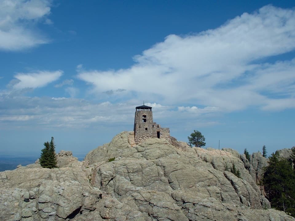 ChallengingBlack Elk Peak Trail #46.5 mi · 5 hr · 0.5 mi awayA rougher approach to South Dakota’s historic fire tower.
 ChallengingCathedral Spires Trail1.2 mi · 1.5 hr · 1.3 mi awayWalk into a granite basin after a short, steep climb.ChallengingBlack Elk Peak Loop via Lost Cabin and Trail #9 North13.6 mi · 8.5 hr · 2.8 mi awayA rugged full-day loop to Black Elk Peak’s stone fire lookout.
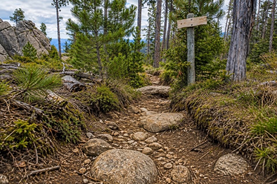 ChallengingNorbeck Trail #312.6 mi · 7.5 hr · 4.5 mi awayCreekside miles turn into a steep, rocky wilderness climb.Sight · At the trailheadSylvan LakeGranite towers and still water, with a one-mile shore loop.
 Store · 0.3 mi awaySylvan Lake General Store & EateryA quick bite, lake gear and boat rentals beside Sylvan Lake.
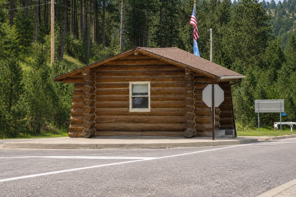 Entrance station · 0.3 mi awaySylvan Lake Entrance StationThe gateway to the Sylvan Lake and Needles Highway approach.
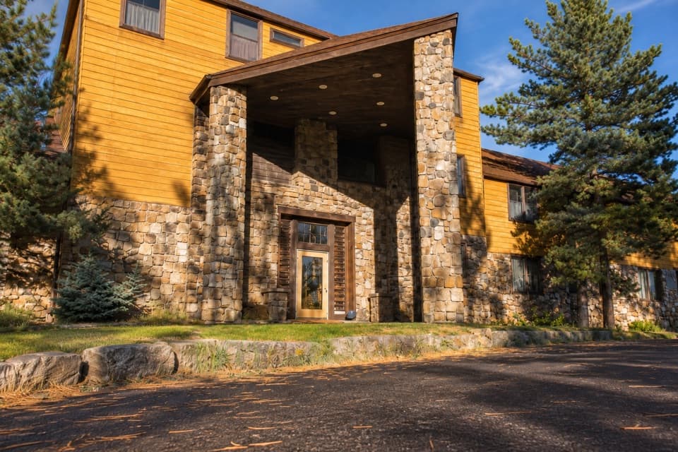 Lodging · 0.4 mi awaySylvan Lake LodgeA 1937 stone-and-pine lodge above Sylvan Lake.
 Campground · 0.5 mi awaySylvan Lake CampgroundA compact base camp a short stroll from Sylvan Lake.
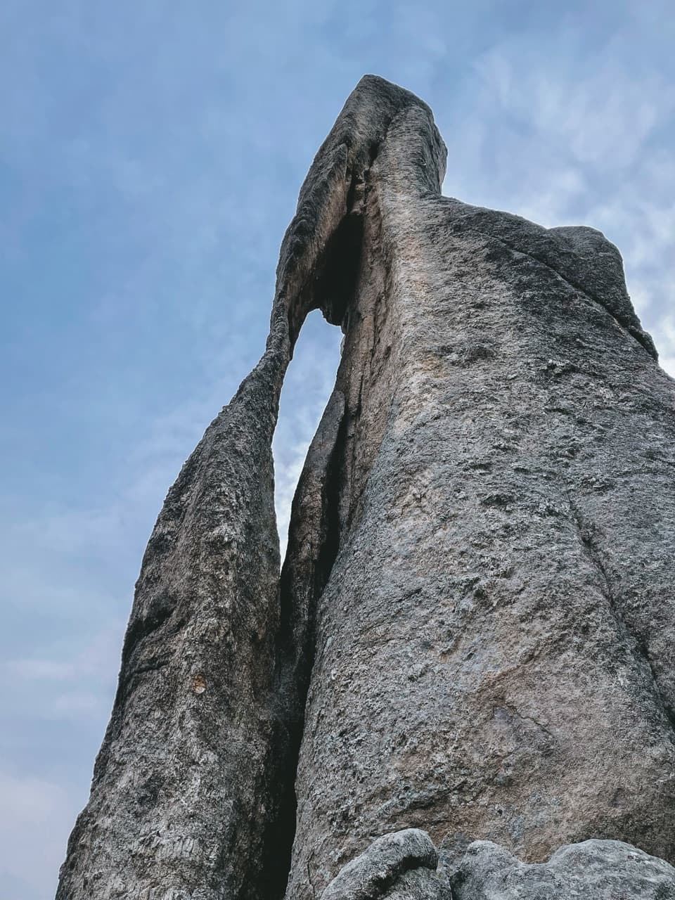 Sight · 0.8 mi awayNeedle’s EyeA granite spire’s tiny eye beside a narrow tunnel.
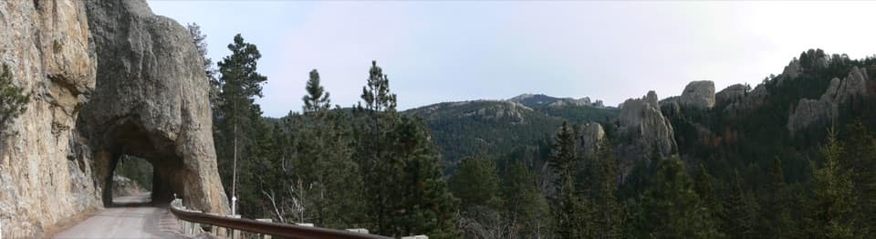 Sight · 0.9 mi awayHood TunnelA one-lane squeeze through the granite on Needles Highway.
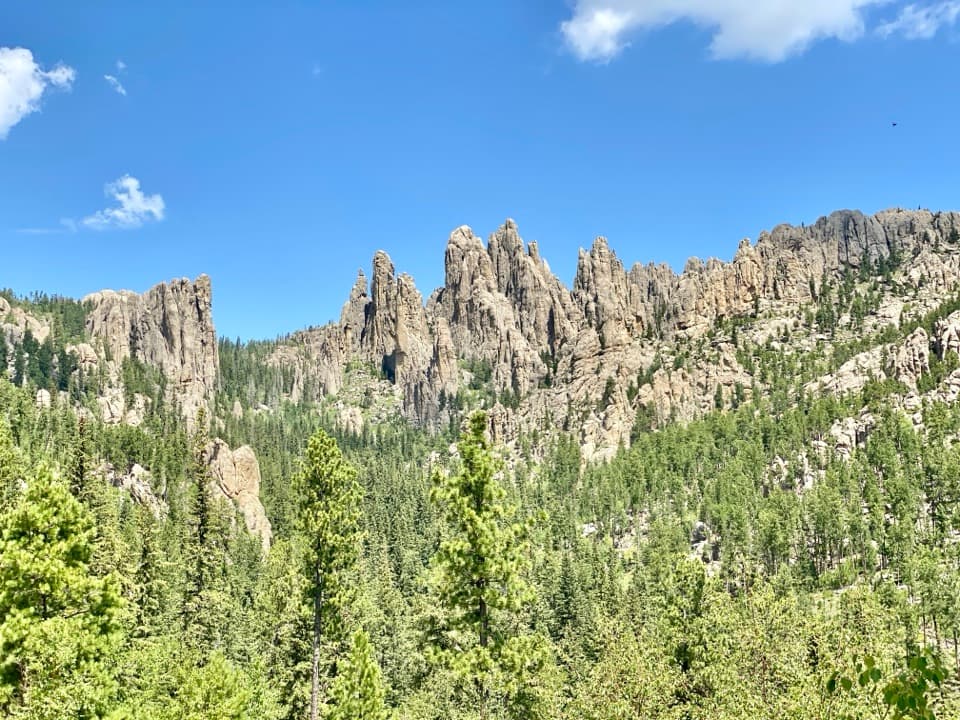 Scenic pullout · 1.4 mi awayCathedral Spires PulloutA roadside pause for the Needles' jagged granite skyline.
Parkwolf’s Custer ranking

The audio tour guide for the drive, plus offline maps, trails, and wildlife heatmaps for when the signal drops.