Parking
Use the small Highway 87 pullout opposite Mount Coolidge Road. Spaces can be tight for longer vehicles; a Custer State Park entrance license is required before parking.

Custer State Park, SD
A short wooded walk to a covered overlook above Heddy Draw
Overview
Map & elevation
Plan your hike

The highest, rockiest slopes around here are a summer buffet for grizzly bears.
Custer Tour Guide
Parkwolf is a GPS audio tour guide for Custer State Park. As you drive, it chimes in with what’s ahead: hidden gems, upcoming stops, history, geology, and wildlife, right through your car’s speakers.
Recorded for this trailhead
Mount Coolidge and Heddy Overlook“You're approaching the turnoff for Mount Coolidge's summit road. The drive climbs narrow, winding gravel, with no access for campers or oversized vehicles.”
Plays as you drive up to this trailhead in the Parkwolf Custer Tour Guide.
More stories near here in the app
“We recently toured Badlands, Custer State Park, Mount Rushmore and more! We learned so much from this app as we toured each of these sites. The audio tours are worth the money.”


Trail guide
Heddy Lookout is a short out-and-back from the Highway 87 pullout opposite Mount Coolidge Road, through pines to a covered shelter and several small viewpoints. Plan on about 0.8 mile round trip and 30–45 minutes of mostly gentle walking. The park trail map labels the trail 0.4 mile without saying whether that is one direction or the whole outing; other route descriptions give 0.8–0.9 mile round trips. Treat 0.8 as a planning estimate, since choosing extra viewpoint paths changes the distance. The map line draws the physical route once; return to the pullout along the access path.
A paved approach reaches the open-sided log shelter. Past it, smaller paths continue over gravel, dirt and pine needles toward more overlooks among the pines and granite boulders. The route is generally gentle, with about 46 feet of cumulative rise along the mapped line. This is the short lookout walk, not the longer Heddy Draw Horse Trail.
Pause under the shelter for a view over the draw and wooded hills, then continue to the separate viewpoints if you want a little more walking. Benches and picnic tables are reported near the overlook. For a photo, use the shelter’s timber posts to frame the pine ridge, or put a granite boulder in the foreground from one of the open viewpoints.
The starting pullout is small, and its spaces can be awkward for long vehicles. A Custer State Park entrance license is required before entering or parking. Dogs are allowed on leash no longer than 10 feet; they are not allowed in park buildings or on designated swim beaches.
Wildlife
 993 sightingsBisonMost seen around 7 AMSighting map
 91 sightingsWapitiMost seen around 6 AMSighting map
 258 sightingsBighorn SheepMost seen around 7 AMSighting map
 85 sightingsMountain GoatMost seen around 7 AMSighting map
 256 sightingsBurroMost seen around 6 PMSighting map
 707 sightingsPronghornMost seen around 6 AMSighting map
Sighting maps show where each species has been reported across Custer. Wildlife moves, so no sighting is guaranteed.
Keep exploring
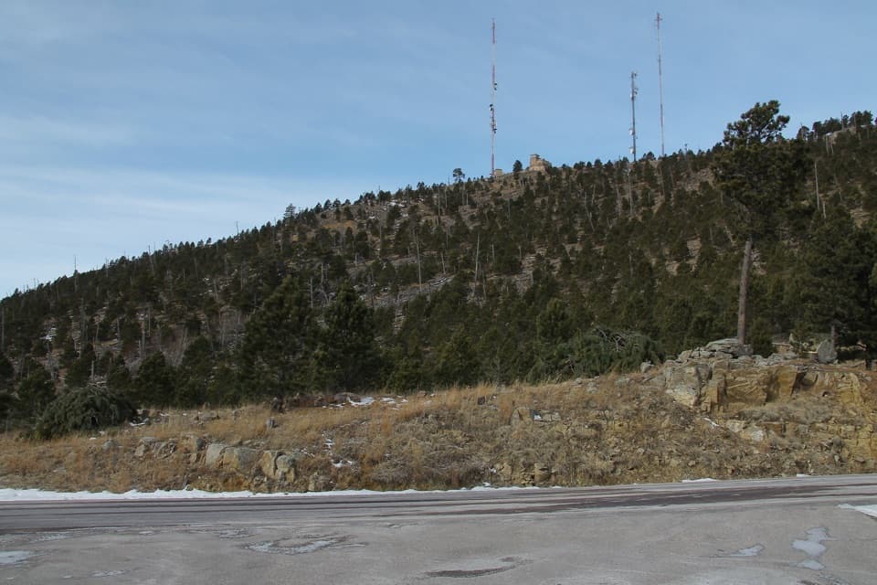 ModerateMount Coolidge Trail3.3 mi · 1.8 hr · At the trailheadClimb the fire tower road for Black Hills views and CCC history.
 ModerateHeddy Draw Horse Trail7.1 mi · 4 hr · 0.3 mi awaySteep Black Hills horse trail with a long descent into Heddy Draw.
 ModerateSaw Mill Trail2.2 mi · 1.3 hr · 0.5 mi awayA forested ridge traverse links two mapped Saw Mill sections.
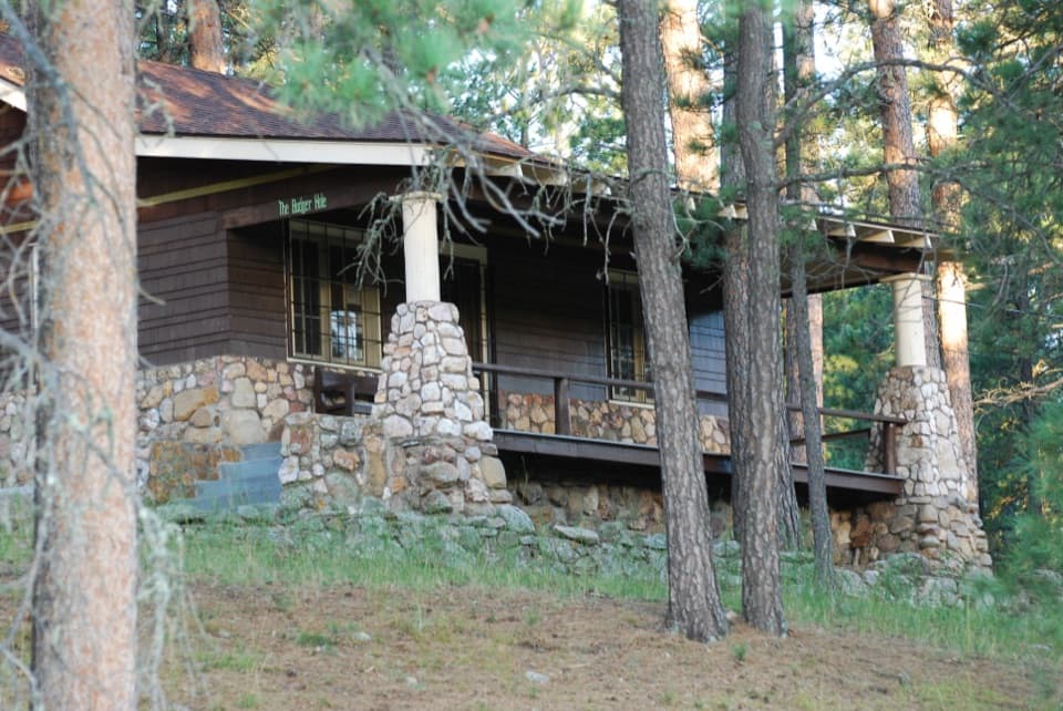 EasyBadger Clark Trail0.6 mi · 45 min · 1.1 mi awayRock-lined tread, poetry signs, and a loop beside Badger Hole.
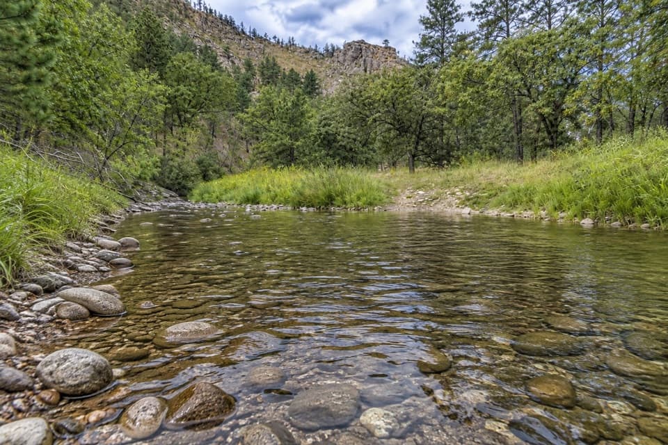 ModerateFrench Creek via Centennial Trail8 mi · 4.5 hr · 1.1 mi awayA steep Centennial descent to rocky, crossing-filled French Creek.
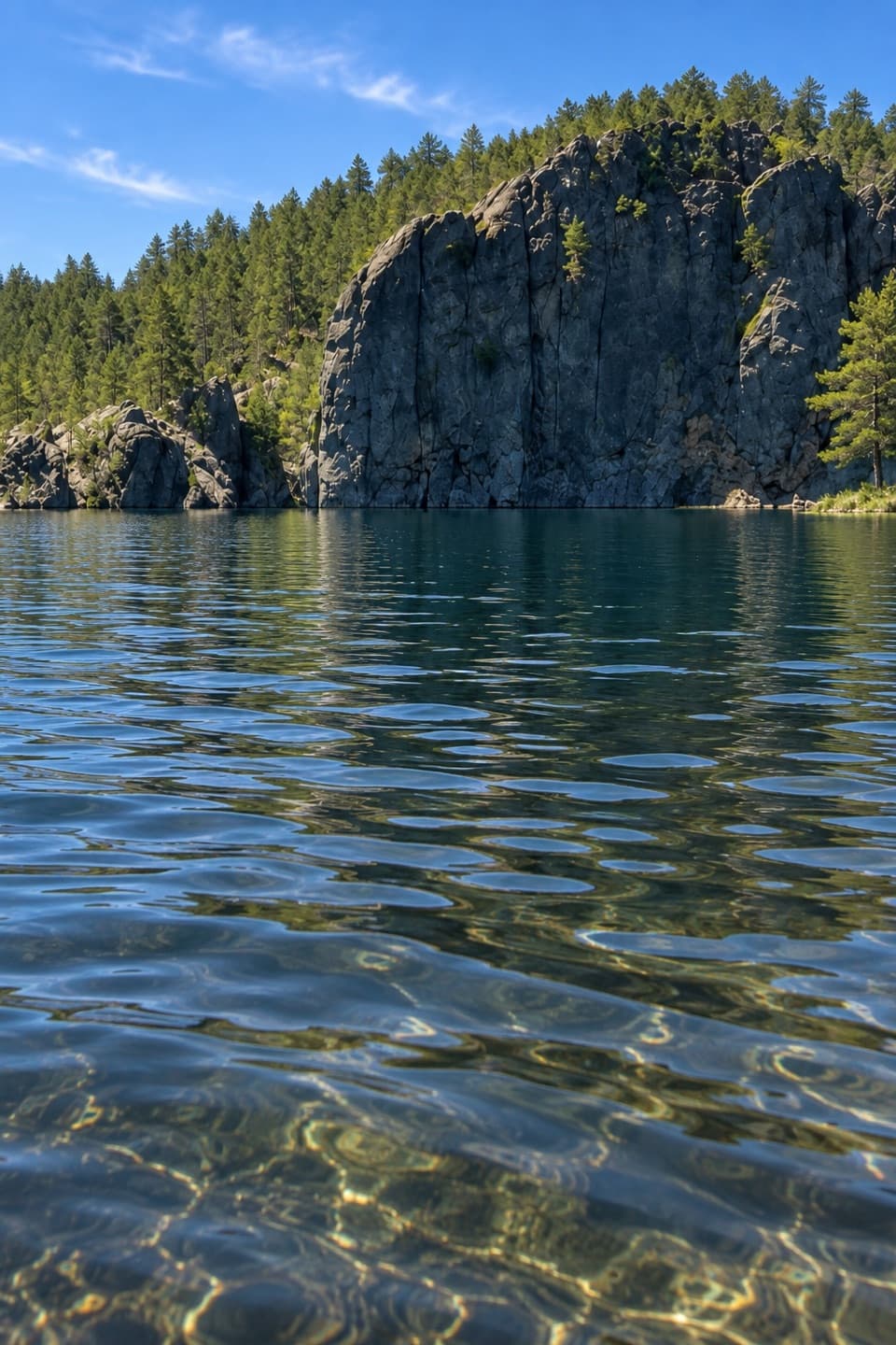 EasyLegion Lakeshore Trail0.7 mi · 30 min · 1.1 mi awayAn easy lakeside loop beneath granite cliffs and pines.
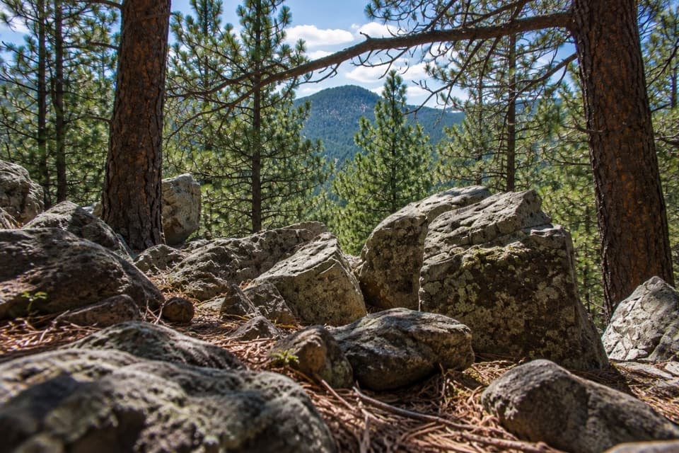 ModerateLegion Lake Trail1 mi · 1 hr · 1.2 mi awayA rocky ridge loop with blue markers and a Mount Coolidge glimpse.
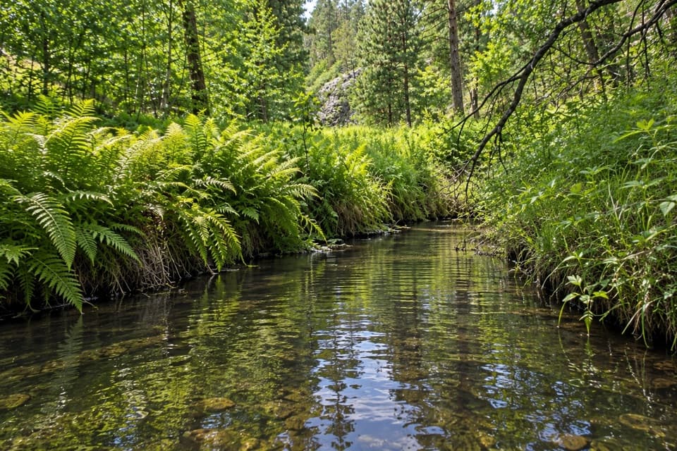 ModerateGalena Trail6.4 mi · 2.5 hr · 1.4 mi awayA 6.4-mile out-and-back on a marked, shared-use Custer trail.
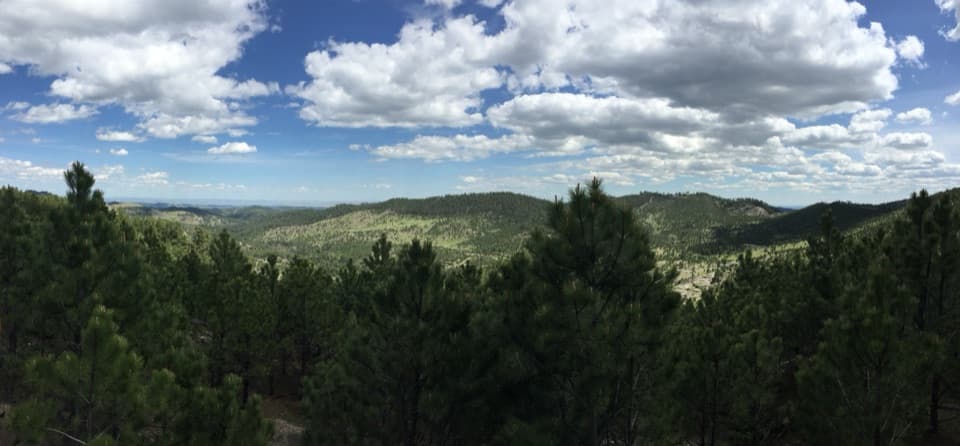 Scenic pullout · 0.1 mi awayHeddy Draw OverlookA short walk to a covered shelter and broad Black Hills views.
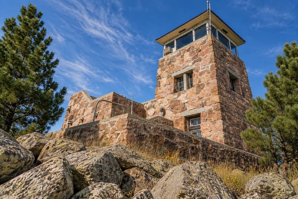 Sight · 0.4 mi awayMount Coolidge Fire TowerClear-day views reach Rushmore, Crazy Horse and the Needles.
 Sight · 1.1 mi awayLegion LakeBeach, paddling and an easy shoreline loop in one stop.Sight · 1.1 mi awayBadger Hole Historic SiteA poet’s furnished cabin with a short, story-filled woodland loop.
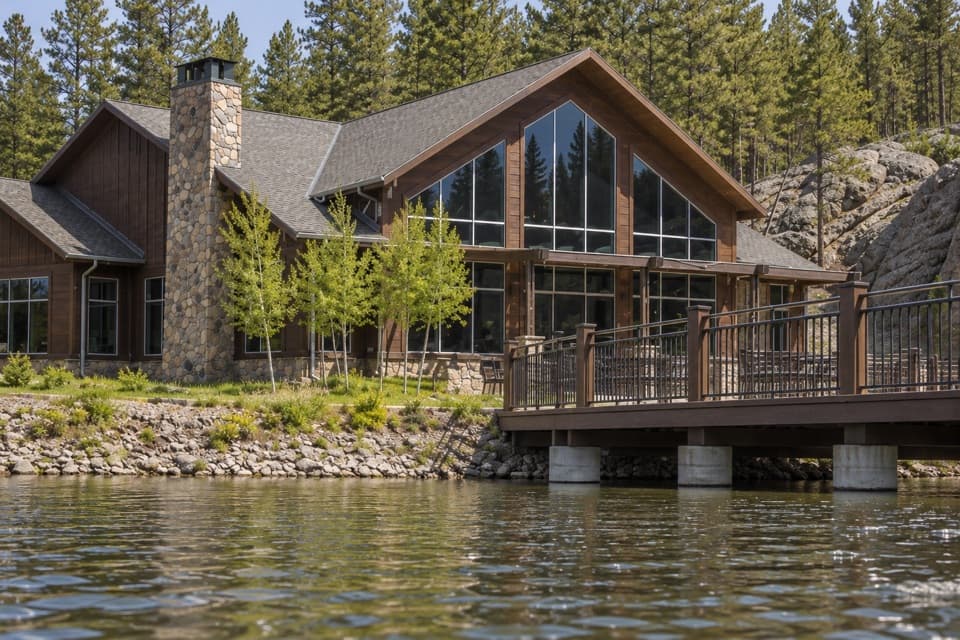 Lodging · 1.2 mi awayLegion Lake LodgeCabins, lakeside dining and boat rentals share one stop.
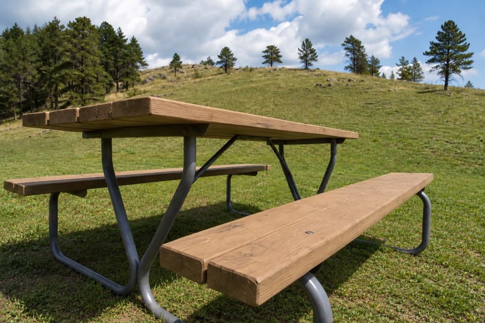 Campground · 1.2 mi awayLegion Lake CampgroundCamp in the trees, with the lake and lodge across US 16A.
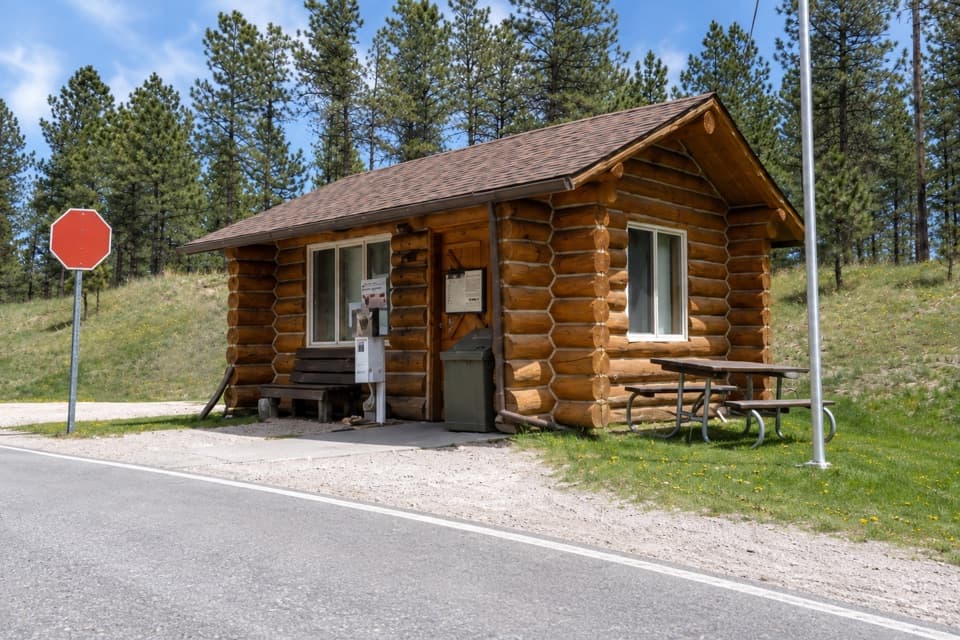 Entrance station · 1.7 mi awayWilson’s Corner Entrance StationA quick checkpoint before the Needles Highway’s granite spires and tunnels.
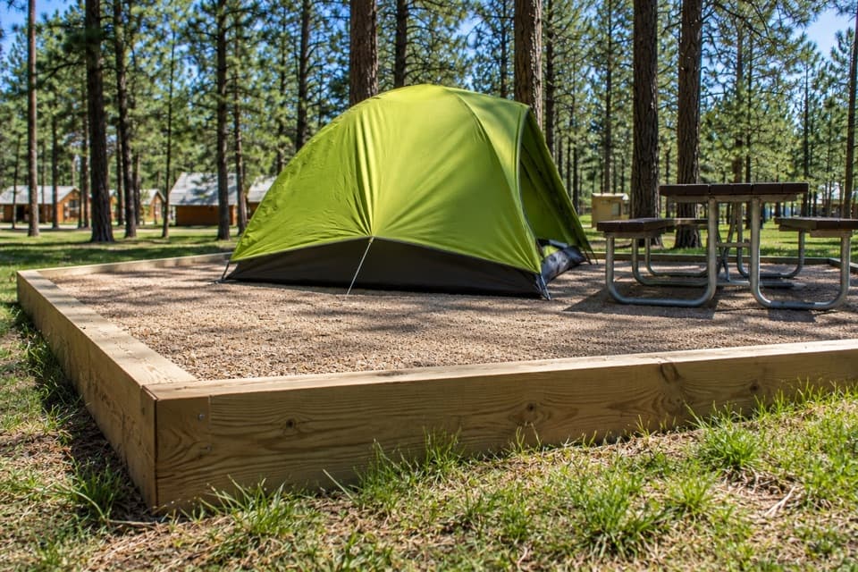 Campground · 2 mi awayBlue Bell CampgroundPine shade, tent pads, and cabins beside French Creek.
Parkwolf’s Custer ranking

The audio tour guide for the drive, plus offline maps, trails, and wildlife heatmaps for when the signal drops.





