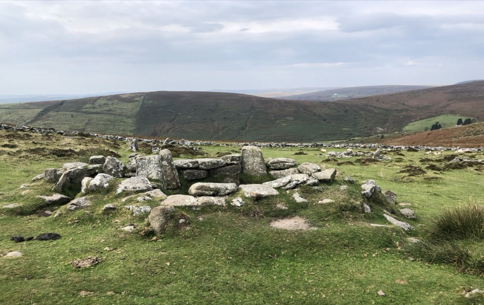
Grimspound in Dartmoor National Park

#4 of 46 sights in Dartmoor

Sight · Dartmoor National Park

Grimspound

A Bronze Age village ringed by a 150-metre stone wall.

Photo: Wikimedia Commons
Type
Sight
Nearest trail
4.2 km
Audio stories
10 nearby
  • Parking

Hear the audio tour

Grimspound's Bronze Age Village

Overview

About Grimspound

Why stop

  • Twenty-four roundhouses within a substantial stone enclosure.

Heads up

  • Exposed, uneven moorland approach and limited roadside parking.

Map

Where it is

Loading the Dartmoor map
Full map
SightGrimspound50.61325, -3.83790
Keep this map with you offline in the Parkwolf app

Plan your stop

Before you go

Getting there and seeing it from above

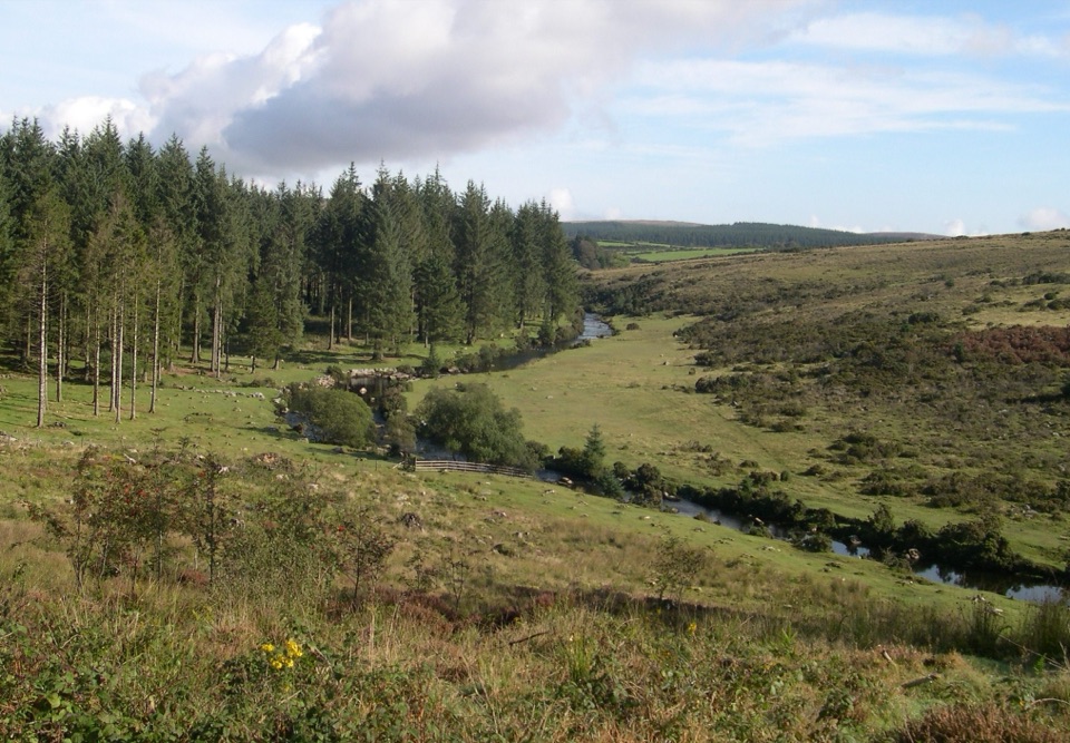
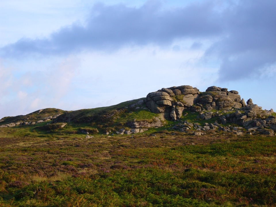
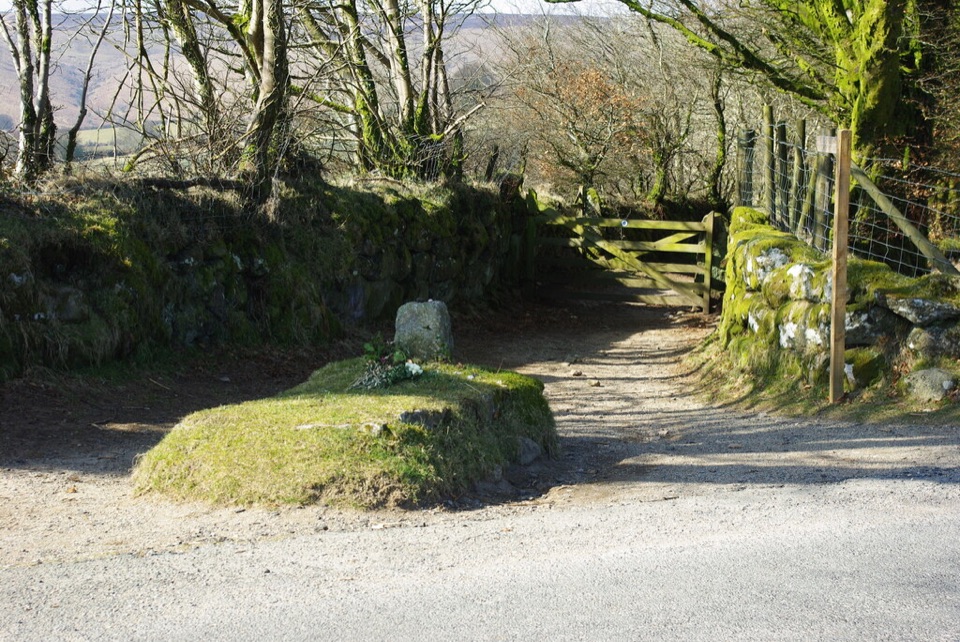
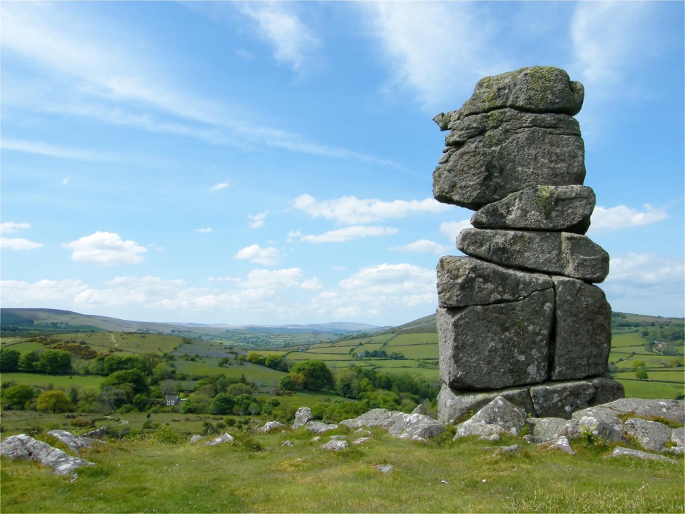
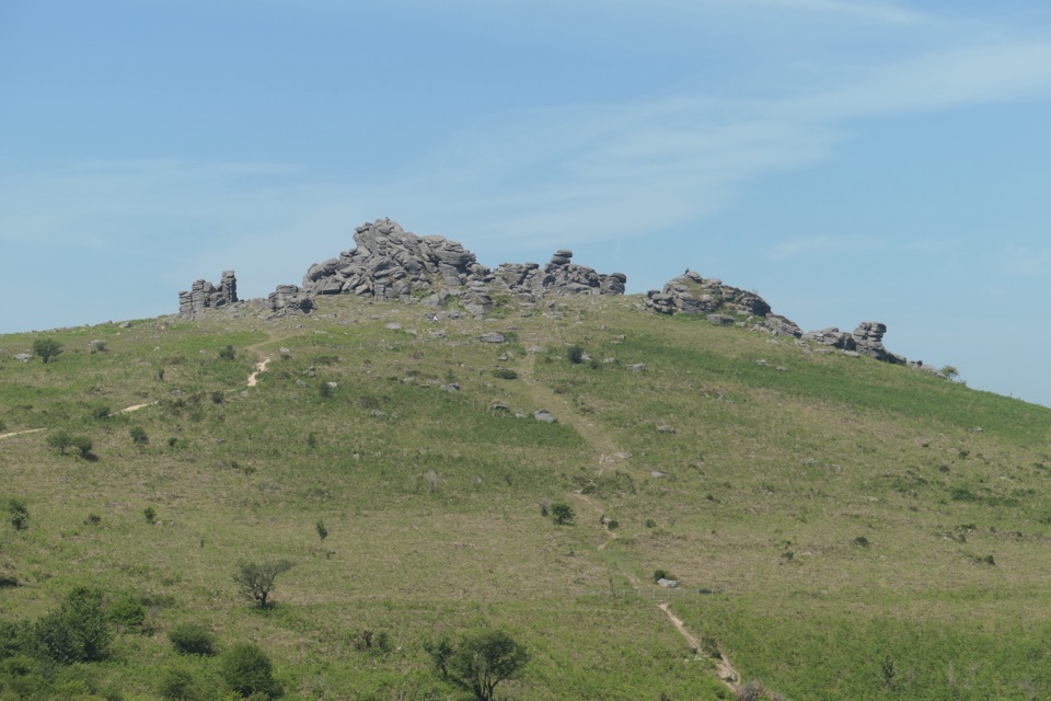
The approach is a walk over uneven moor from limited roadside layby parking near the B3212. The parking estimates conflict, so don't plan around a particular number of spaces. For a broader view, climb to Hookney Tor or the high ground on Hameldown; those are the recommended viewpoints over the enclosure and valley, and take more walking than simply reaching the ruins. A 6.7-kilometre circular route can link Hookney Tor, Grimspound and Birch Tor, with about 189 metres of ascent; allow 1.5 to 2.5 hours. The ground is rocky and uneven, and the site is exposed to fast-changing weather. Keep dogs on a lead around the free-grazing sheep and ponies. There are no facilities or food on the moor, so bring a picnic. For a photo that shows the shape of the settlement rather than just one hut circle, walk uphill to Hookney Tor or Hameldown and frame the enclosure with the surrounding hills.


2 active Dartmoor alerts

  • CautionDartmoor military firing restricts accessDo not cross the Okehampton, Willsworthy or Merrivale training-range boundaries when warning signals are displayed.Official details
  • CautionAccess restriction at Huccaby FarmAccess to CROW Access Land at Huccaby Farm in the West Dart River Valley is subject to a current restriction notice.Official details
Dartmoor alerts
A park ranger sits on a dash-mounted phone, talking, as Parkwolf’s Tour Guide plays “Army Cutworm Moths: A Grizzly Bear Buffet” on Grand Loop Road below Dunraven Pass in Yellowstone
Parkwolf Tour GuideThe highest, rockiest slopes around here are a summer buffet for grizzly bears.

Dartmoor Tour Guide

Your drive to Grimspound, narrated.

Parkwolf is a GPS audio tour guide for Dartmoor National Park. As you drive, it chimes in with what’s ahead: hidden gems, upcoming stops, history, geology, and wildlife, right through your car’s speakers.

Recorded for this place

Grimspound's Bronze Age Village
0:00 / 0:34
“You're approaching the roadside access for Grimspound, but the Bronze Age village itself is a walk across uneven moor.”

Plays as you drive up to Grimspound in the Parkwolf Dartmoor Tour Guide.

More stories near here in the app

  • Grimspound's Victorian Repairs
  • The Whinchat's Long Summer Journey
  • Golden Dagger's Round Basins
  • The Marks on a Moorland Flock
  • 298 audio storiesacross Dartmoor’s roads, triggered by GPS as you drive
  • Wildlife heatmapsfor Western Roe Deer, Red Fox, European Rabbit, and 13 more
  • Works offlinemaps, 54 trails, 59 places, and audio download before you lose signal
  • CarPlay readysimple controls built for the drive
★★★★★
“Fantastic app with many points of information… It’s great to just turn on while you’re driving and it gives you an audio tour of the national Park. We love it!!!!”
JMJamesApp Store review
Download Parkwolf on the App StoreGet Parkwolf on Google Play

4.7 from 8,600+ ratings

Guide

More about Grimspound

A whole Bronze Age settlementGrimspound is a late Bronze Age settlement in an open fold between Hookney Tor and Hameldown…

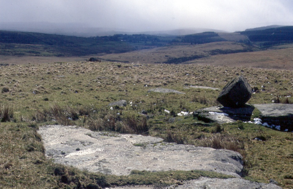
Grimspound is a late Bronze Age settlement in an open fold between Hookney Tor and Hameldown Tor, high on Dartmoor. The remains of 24 stone roundhouses sit inside a circular enclosure about 150 metres across, so this isn't one hut to peer at; it is a whole settlement footprint with a substantial boundary wall. If prehistoric places interest you, make the stop. The low foundations are easy to overlook at first, but once you see the circle and its entrance, you can start to imagine how the village fitted into this exposed upland landscape. Entry is free.

Walk around the enclosureThe best way to read the site is to walk around the enclosed area and compare the house rings…

The best way to read the site is to walk around the enclosed area and compare the house rings with the wall. The wall averages about three metres thick and reaches roughly a metre and a half high. Its uphill entrance on the south side is flanked by higher sections of wall and has a roughly paved passage about 1.8 metres wide. A stream crosses the northern half; it probably supplied water. Don't expect intact houses or a reconstructed village: you're looking at stone foundations and low walls set in grass, with open moorland showing through.

What the ruins tell youThe settlement belongs to the Late Bronze Age, though the exact date range is uncertain.

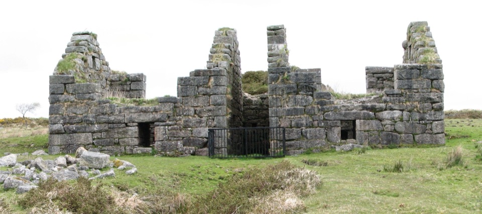
The settlement belongs to the Late Bronze Age, though the exact date range is uncertain. The enclosing wall was probably a barrier for animals rather than a defensive fortification. Excavators partly explored 16 houses in the late 19th century and recorded porches, paved floors, hearths, raised benches and cooking holes, along with charcoal, pottery and flint. Those details make the low rings feel like rooms where people lived and cooked, not just circular outlines. Some sections of the perimeter and roundhouses were restored during that work, but the restoration wasn't very accurate, so treat the visible layout as archaeological remains rather than a perfect reconstruction.

Wildlife

Wildlife in Dartmoor

All Dartmoor wildlife maps

Sighting maps show where each species has been reported across Dartmoor. Wildlife moves, so no sighting is guaranteed.

Keep exploring

Near Grimspound

See it all on the map

Trails nearby

More stops nearby

Parkwolf’s Dartmoor ranking

Top sights in Dartmoor

All 59 places
  1. 1Haytor RocksSight
  2. 2Postbridge Clapper BridgeSight
  3. 3Hound TorSight
  4. 5Wistman’s WoodSight
  5. 6Castle DrogoSight
  6. 7Lydford GorgeSight

Take Parkwolf to Dartmoor.

The audio tour guide for the drive, plus offline maps, trails, and wildlife heatmaps for when the signal drops.

4.7 from 8,600+ ratings

Download Parkwolf on the App StoreGet Parkwolf on Google Play