Parking
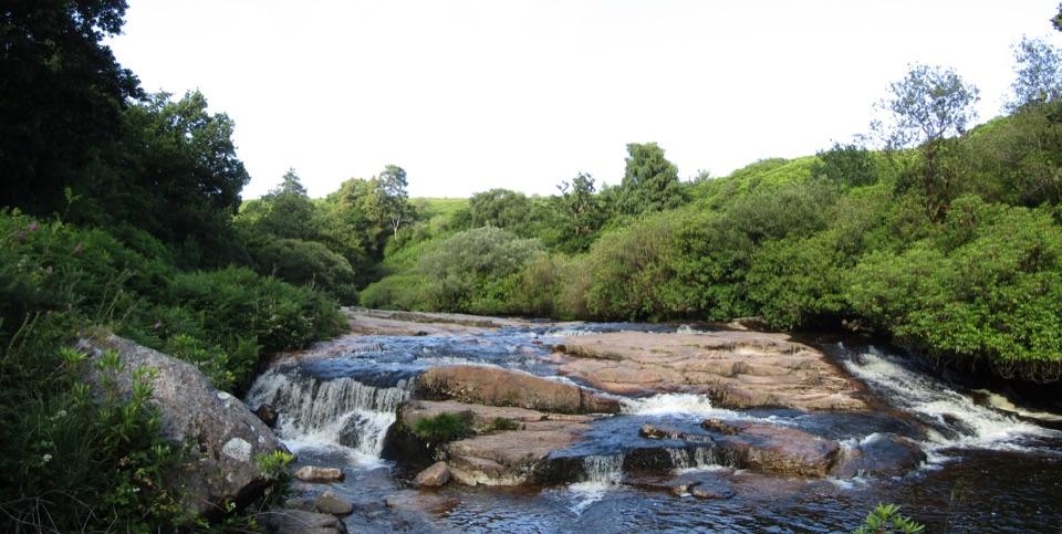
Start at Bellever village car park. From the B3212 in Postbridge follow the Bellever turning for 1.5 km; turn left at the village grass triangle and find the car-park entrance on the right. Parking is paid.
Dartmoor National Park
A forest circuit with a stretch through Bellever village
Overview
Map & elevation
Plan your hike

The highest, rockiest slopes around here are a summer buffet for grizzly bears.
Dartmoor Tour Guide
Parkwolf is a GPS audio tour guide for Dartmoor National Park. As you drive, it chimes in with what’s ahead: hidden gems, upcoming stops, history, geology, and wildlife, right through your car’s speakers.
See the Dartmoor audio tourRecorded for this trailhead
Bellever Forest and the East Dart“You're nearing Bellever Forest, where a short surfaced path from the village car park reaches picnic spots beside the East Dart.”
Plays as you drive up to this trailhead in the Parkwolf Dartmoor Tour Guide.
More stories near here in the app
“Fantastic app with many points of information… It’s great to just turn on while you’re driving and it gives you an audio tour of the national Park. We love it!!!!”


Trail guide
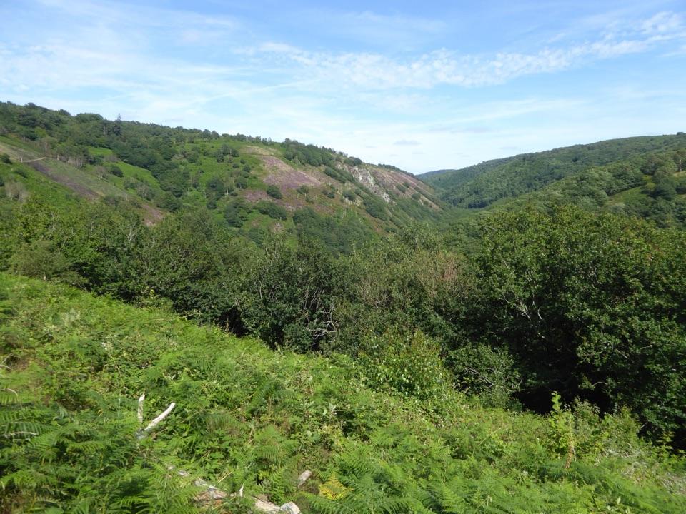
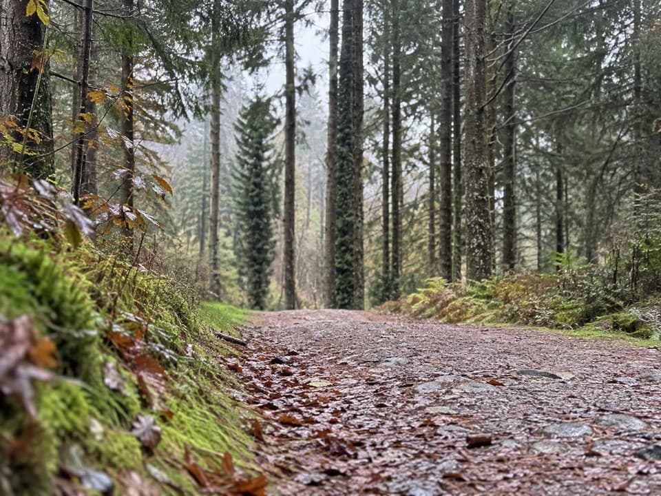
The Bellever Forest Trail is a roughly 2.4-mile loop from the village car park, following forest tracks south before returning through Bellever. Allow about 1½ hours. It is a low-key woodland walk with some gentle slopes and a short stretch on the village road, rather than a climb to Bellever Tor.
From the car park the mapped circuit heads south on forest tracks, turns back north and returns toward the village on a bridleway and road. Much of the walking is on surfaced forestry tracks, with a rougher unsurfaced section. The forest holds traces of much older settlement, including hut circles and burial remains; take care not to disturb them.
This mapped circuit starts at Bellever village car park, not Postbridge. The separately advertised Cycle and Tramper route starts at Postbridge; check its route and surface information before setting out if you need an all-terrain mobility scooter. Toilets and picnic tables are at the Bellever village car park. Parking is paid and dogs are allowed; keep them close around the forest's grazing ponies.
Wildlife
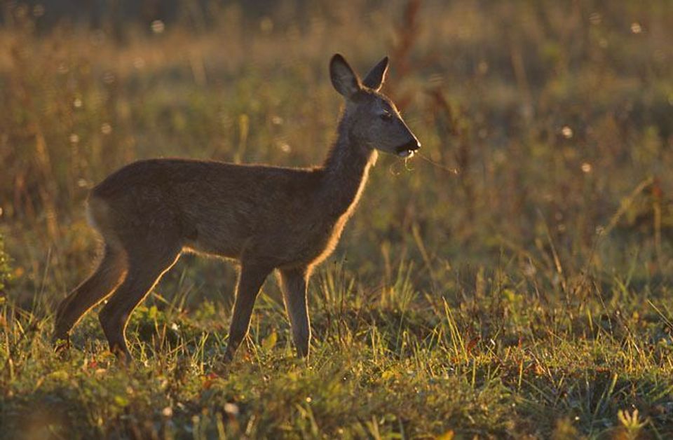 33 sightingsWestern Roe DeerMost seen around 7 AMSighting map
 12 sightingsRed FoxMost seen around 7 PMSighting map
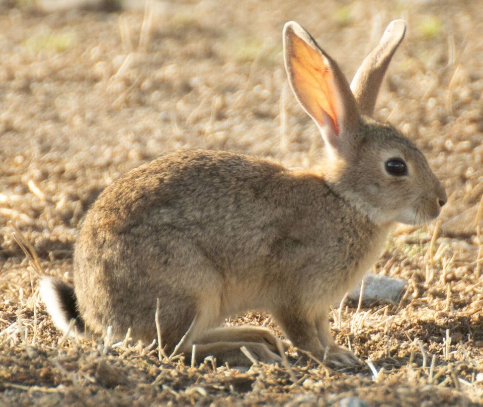 38 sightingsEuropean RabbitMost seen around 7 AMSighting map
 21 sightingsGrey HeronMost seen around 7 PMSighting map
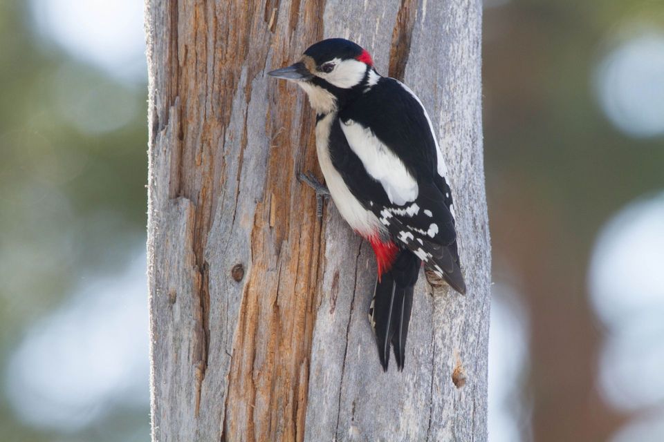 34 sightingsGreat Spotted WoodpeckerMost seen around 7 AMSighting map
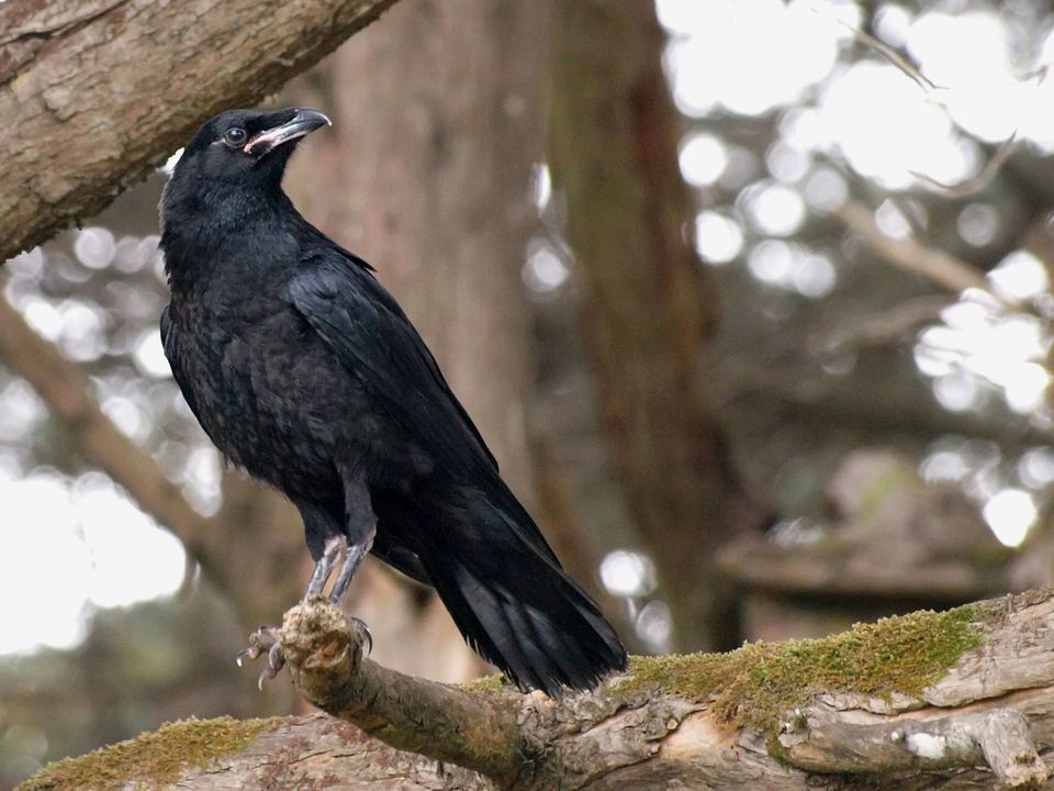 21 sightingsCommon RavenMost seen around 8 AMSighting map
Sighting maps show where each species has been reported across Dartmoor. Wildlife moves, so no sighting is guaranteed.
Keep exploring
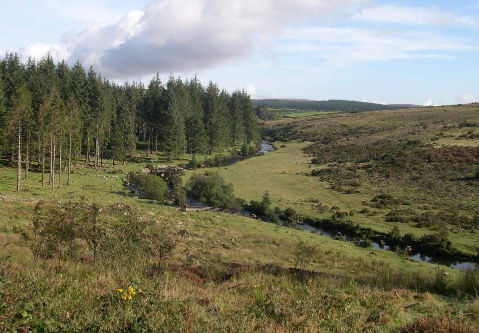 EasyBellever Forest Easy Access Trail0.6 km · 15 min · At the trailheadA level forest path reaches a picnic spot on the East Dart.
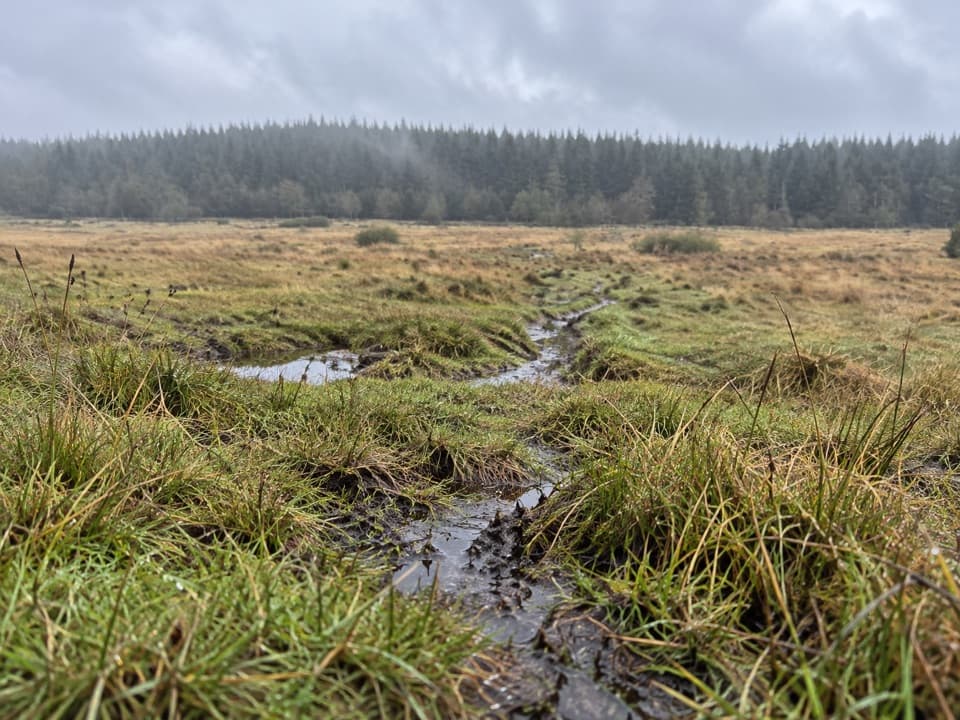 ModerateThe Lych Way20.1 km · 6.8 hr · At the trailheadA full-day moor crossing to an old church, with river fords.
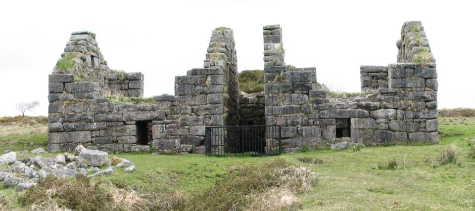 ChallengingGunpowder Trail to Powdermills6.1 km · 2.5 hr · 1.9 km awayA rough moorland walk to Devon’s only gunpowder works ruins.
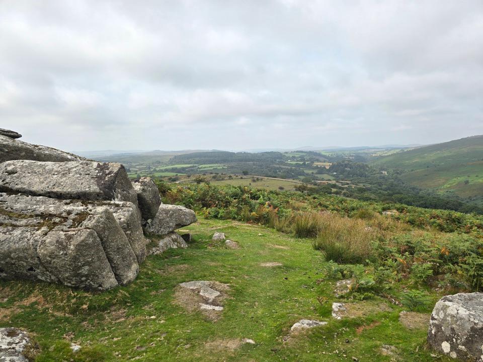 ModerateHexworthy Walk5.6 km · 2.5 hr · 4.5 km awayFarmsteads, tin-mill ruins and one proper moorland climb.
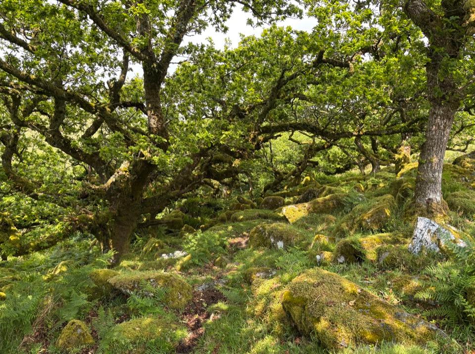 EasyWistman's Wood Walk4 km · 1.3 hr · 5.1 km awayA 4 km return to a gnarled oak wood by the valley.
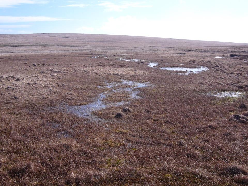 ModerateCombestone Tor to Aune Head Mire8.5 km · 3.8 hr · 5.6 km awayFind the Avon’s source among open pools and peat.
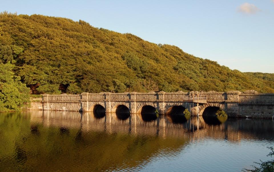
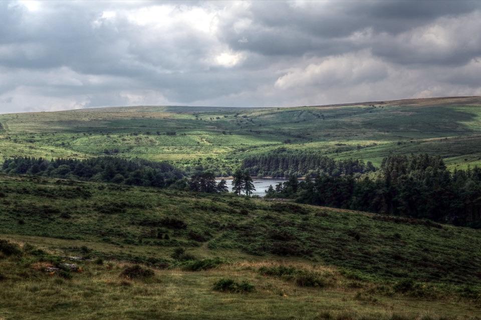 ModerateVenford Reservoir and Bench Tor Walk2.8 km · 1.5 hr · 6.6 km awayA reservoir crossing, open moor, and a granite tor above Dart Gorge.
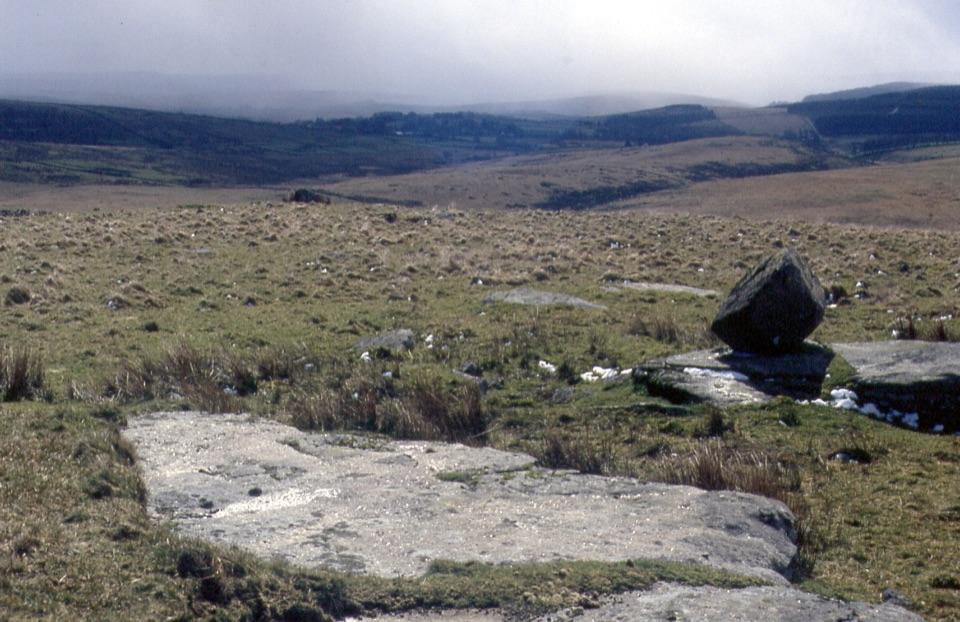 ChallengingFernworthy Reservoir to Winney’s Down12 km · 6.5 hr · 6.8 km awayA full day crossing wet moor to a peat cutters’ shelter.
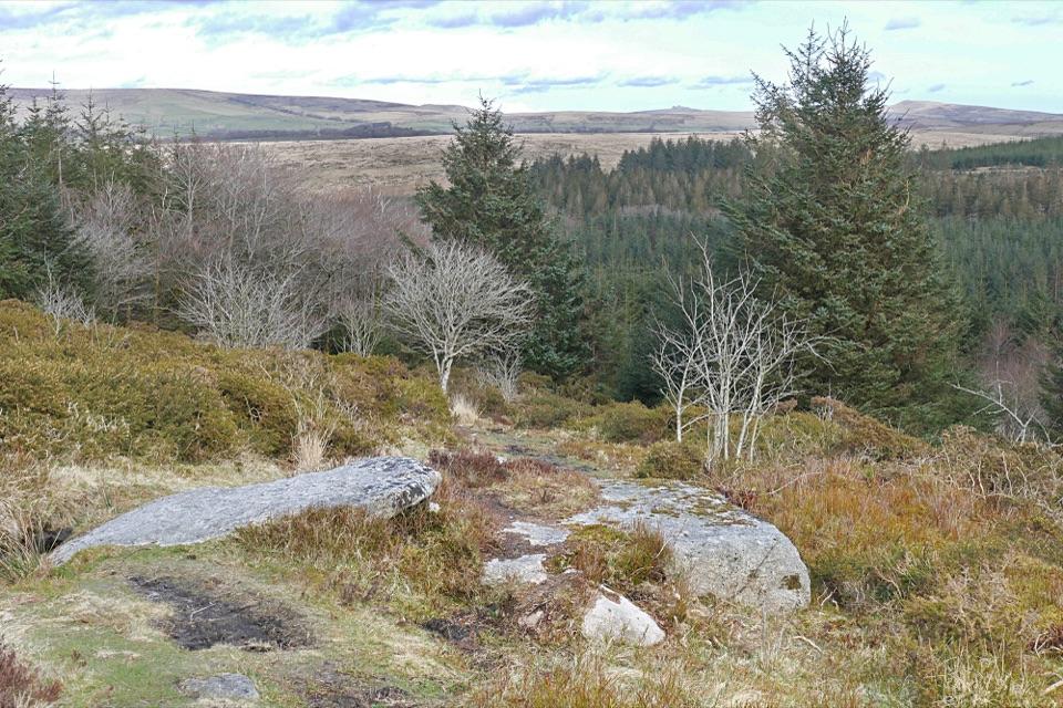 Sight · At the trailheadBellever ForestRiverside picnics, working woodland and Bronze Age remains.
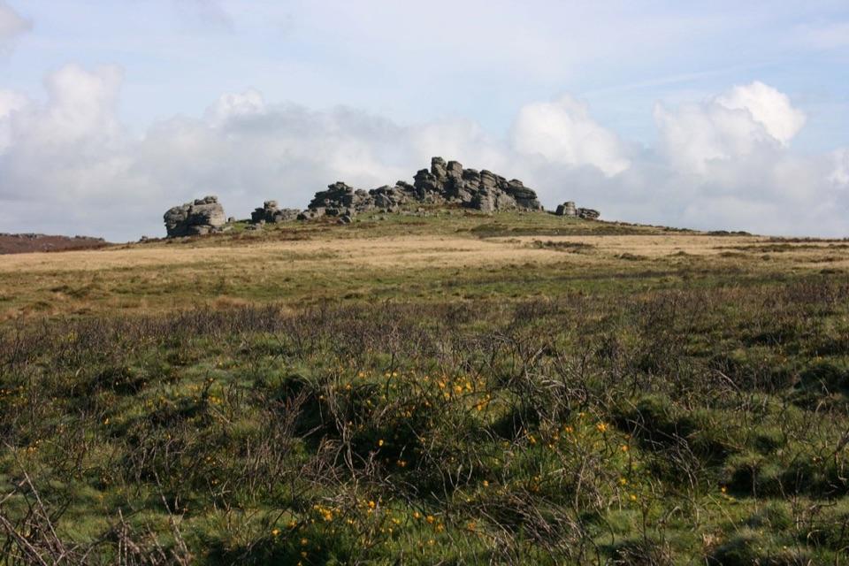
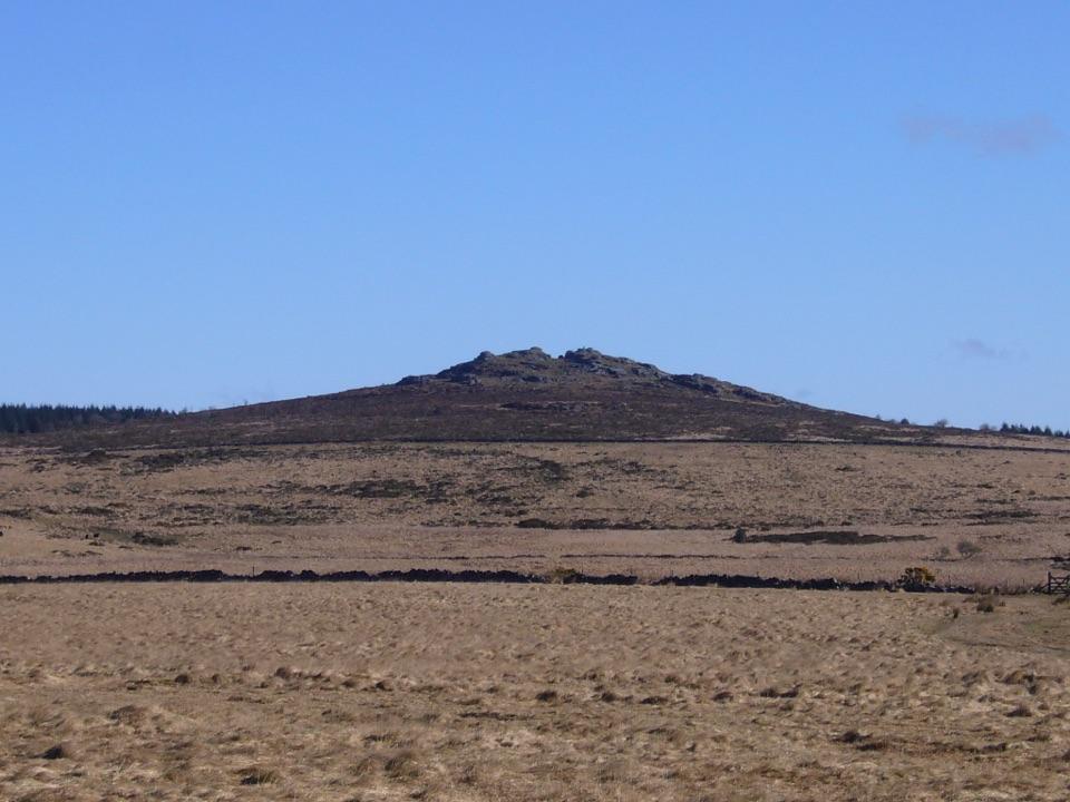 Sight · 1.4 km awayBellever TorA rocky summit walk past hut circles to an open-moor view.
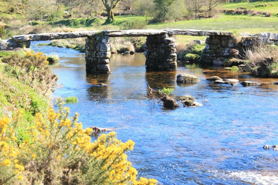 Sight · 1.9 km awayPostbridge Clapper BridgeA granite clapper bridge still carries walkers over the East Dart.
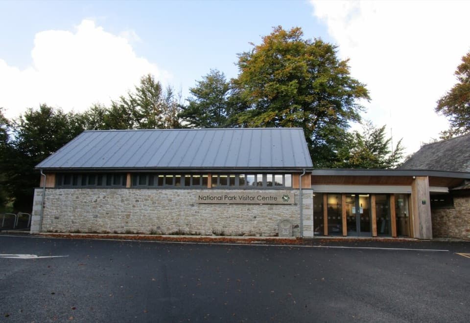 Visitor center · 1.9 km awayNational Park Visitor Centre, PostbridgeVisitor information and a remarkable Bronze Age burial story.
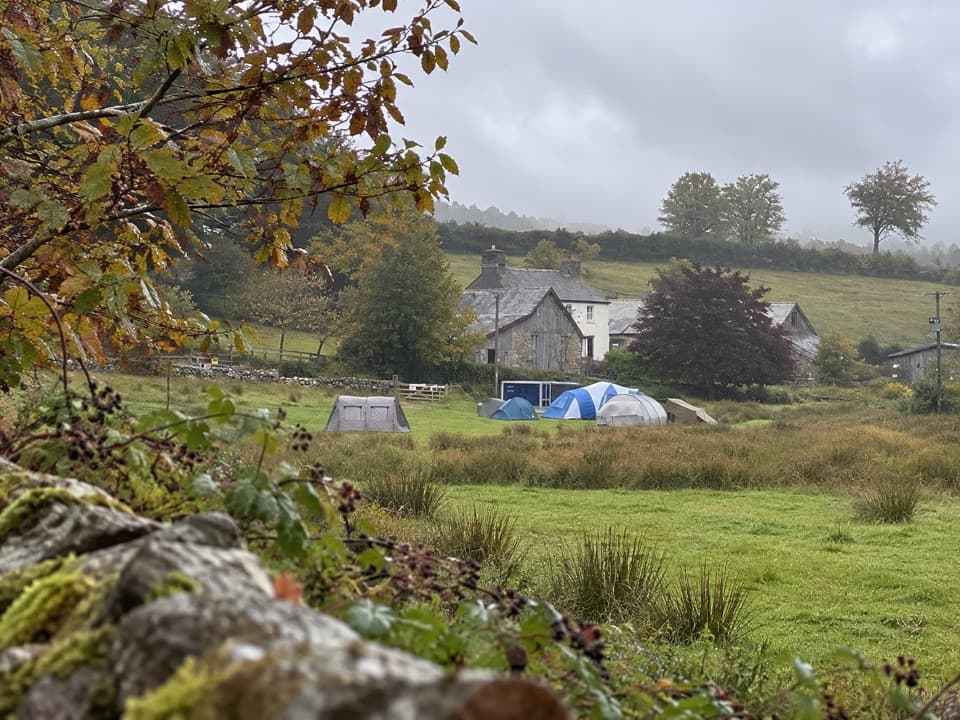 Campground · 2.3 km awayRunnage Farm CampsiteA quiet, no-hookups base for simple nights on the moor.
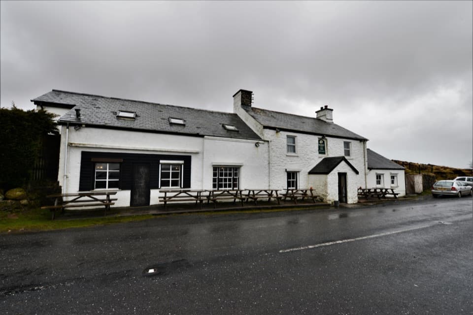 Restaurant · 4.2 km awayWarren House InnA high-moor pub with deep roots in tin mining.
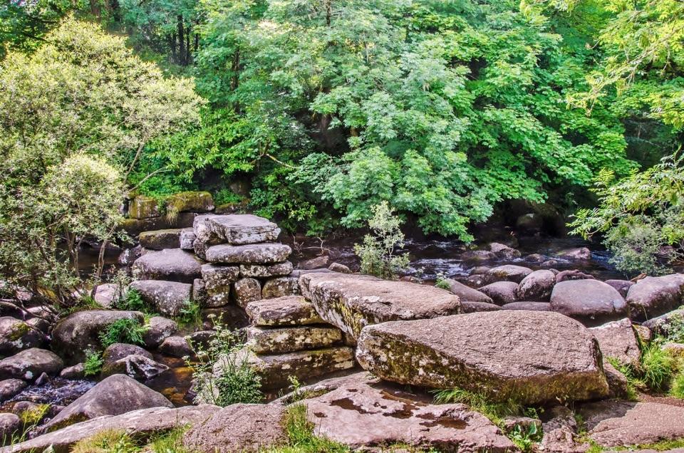 Sight · 4.3 km awayDartmeetTwo crossings beside where the East and West Dart meet.
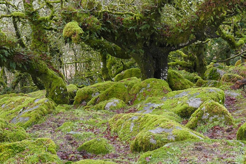 Sight · 4.4 km awayWistman’s WoodTwisted, lichen-covered oaks meet mossy granite boulders.
Parkwolf’s Dartmoor ranking

The audio tour guide for the drive, plus offline maps, trails, and wildlife heatmaps for when the signal drops.