Parking
Start at the main Fernworthy Reservoir car park beside the picnic site. Parking is paid; disabled bays and public toilets are provided there.
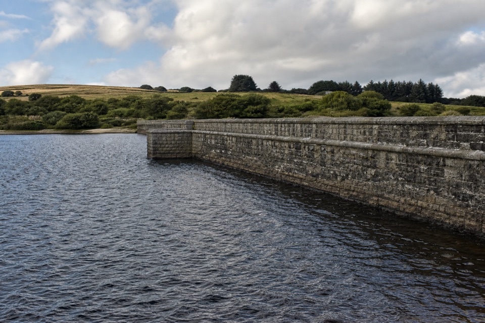
Dartmoor National Park
A gentle reservoir loop past the dam and Bronze Age hut circles.
Overview
Begin and finish at the main reservoir car park and picnic site. It has disabled bays, accessible picnic benches and public toilets. Parking is paid. Dogs are welcome on leads.
 Parkwolf’s verdictStarting at Fernworthy
Map & elevation
Plan your hike

The highest, rockiest slopes around here are a summer buffet for grizzly bears.
Dartmoor Tour Guide
Parkwolf is a GPS audio tour guide for Dartmoor National Park. As you drive, it chimes in with what’s ahead: hidden gems, upcoming stops, history, geology, and wildlife, right through your car’s speakers.
Recorded for this trailhead
Fernworthy Reservoir and Potter’s Walk“You're coming up on Fernworthy Reservoir, a water-and-woodland stop near Chagford. The short Potter's Walk follows the shore to the dam, then turns inland past a disused granite quarry and Bronze Age hut circles.”
Plays as you drive up to this trailhead in the Parkwolf Dartmoor Tour Guide.
More stories near here in the app
“Fantastic app with many points of information… It’s great to just turn on while you’re driving and it gives you an audio tour of the national Park. We love it!!!!”


Trail guide
Potter's Walk is a 0.75-mile loop from Fernworthy Reservoir's main car park, following the shore to the dam before turning inland past a disused granite quarry and Bronze Age hut circles. Allow 30–45 minutes. This is the short accessible outing, not the separate 2.6-mile circuit around the reservoir. Built in 1993, the walk was named for Sydney Potter, who lived and worked at Fernworthy for more than 50 years.
The path starts beside the picnic site, then follows a well-surfaced shore path with views across to Thornworthy Tor. At the dam it uses a short tarmac access stretch and turns right onto the grassy return. The surfaces alternate between rolled growan (local granite sand), grass and tarmac. The route is mostly level, with no steps, gates or stiles, but some slopes and grassy sections may need assistance. The old quarry supplied granite for the dam; Bronze Age hut circles stand nearby. Keep to the path behind the fence above the quarry's sheer drop. From the shore, frame Thornworthy Tor across the water; great crested grebes and swallows may be feeding over the reservoir.
Wildlife
 32 sightingsWestern Roe DeerMost seen around 7 AMSighting map
 10 sightingsRed FoxMost seen around 7 PMSighting map
 37 sightingsEuropean RabbitMost seen around 7 AMSighting map
 19 sightingsGrey HeronMost seen around 7 PMSighting map
 34 sightingsGreat Spotted WoodpeckerMost seen around 7 AMSighting map
 20 sightingsCommon RavenMost seen around 8 AMSighting map
Sighting maps show where each species has been reported across Dartmoor. Wildlife moves, so no sighting is guaranteed.
Keep exploring
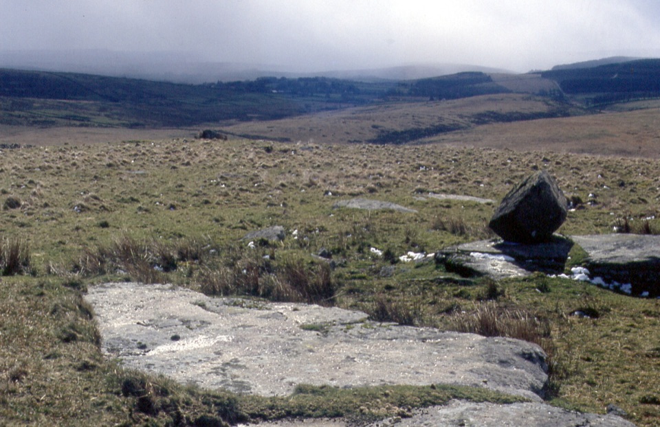 ChallengingFernworthy Reservoir to Winney’s Down12 km · 6.5 hr · At the trailheadA full day crossing wet moor to a peat cutters’ shelter.
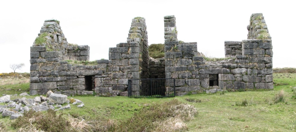 ChallengingGunpowder Trail to Powdermills6.1 km · 2.5 hr · 5.6 km awayA rough moorland walk to Devon’s only gunpowder works ruins.
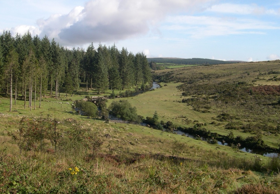 EasyBellever Forest Easy Access Trail0.6 km · 15 min · 6.8 km awayA level forest path reaches a picnic spot on the East Dart.
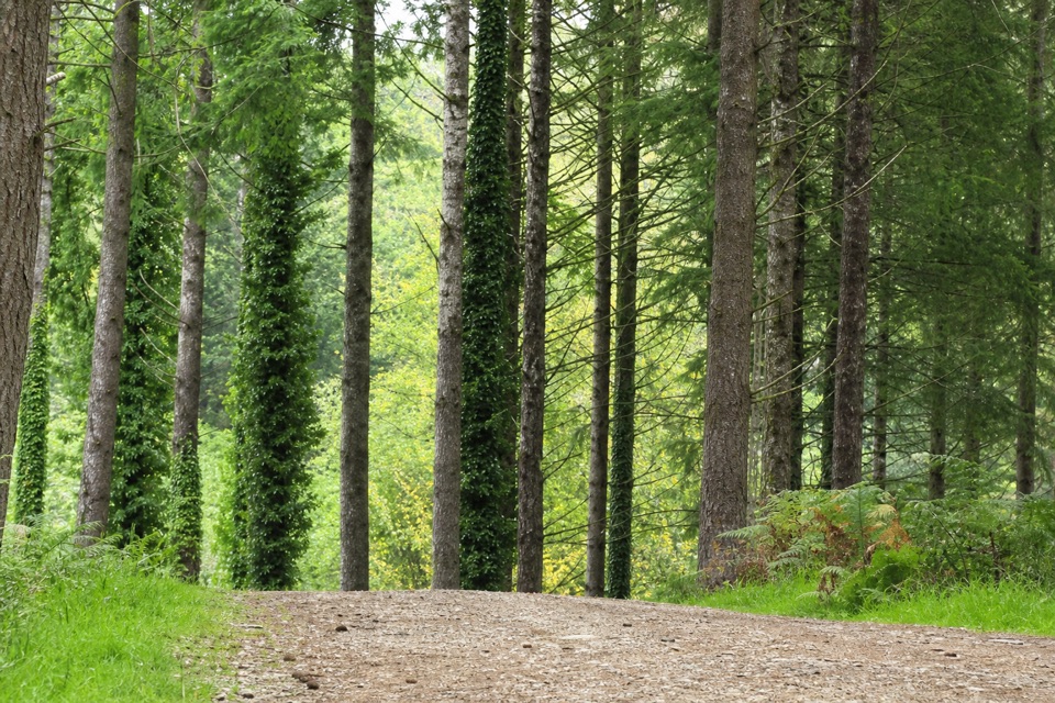 EasyCycle and Tramper Trail at Bellever Forest3.9 km · 1.5 hr · 6.8 km awayA forest loop with archaeology on mostly surfaced tracks
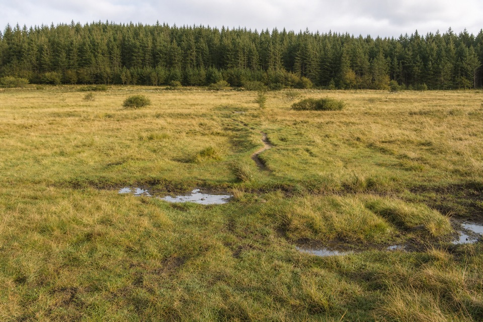 ModerateThe Lych Way20.1 km · 6.8 hr · 6.8 km awayA full-day moor crossing to an old church, with river fords.
 ModerateTeign Gorge Classic Circuit6.6 km · 2.5 hr · 8.4 km awayHigh gorge paths, the old packhorse bridge and two river-return options.
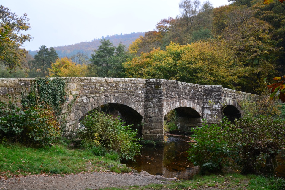 ModerateCastle Drogo and Cod Wood Circular12.1 km · 4.3 hr · 8.4 km awayA long gorge loop that climbs to an Iron Age hillfort.
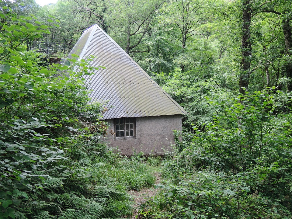 ModerateHydro Turbine Walk at Castle Drogo4.8 km · 2 hr · 8.4 km awayA historic turbine at the end of steep, rocky Hunter's Path.
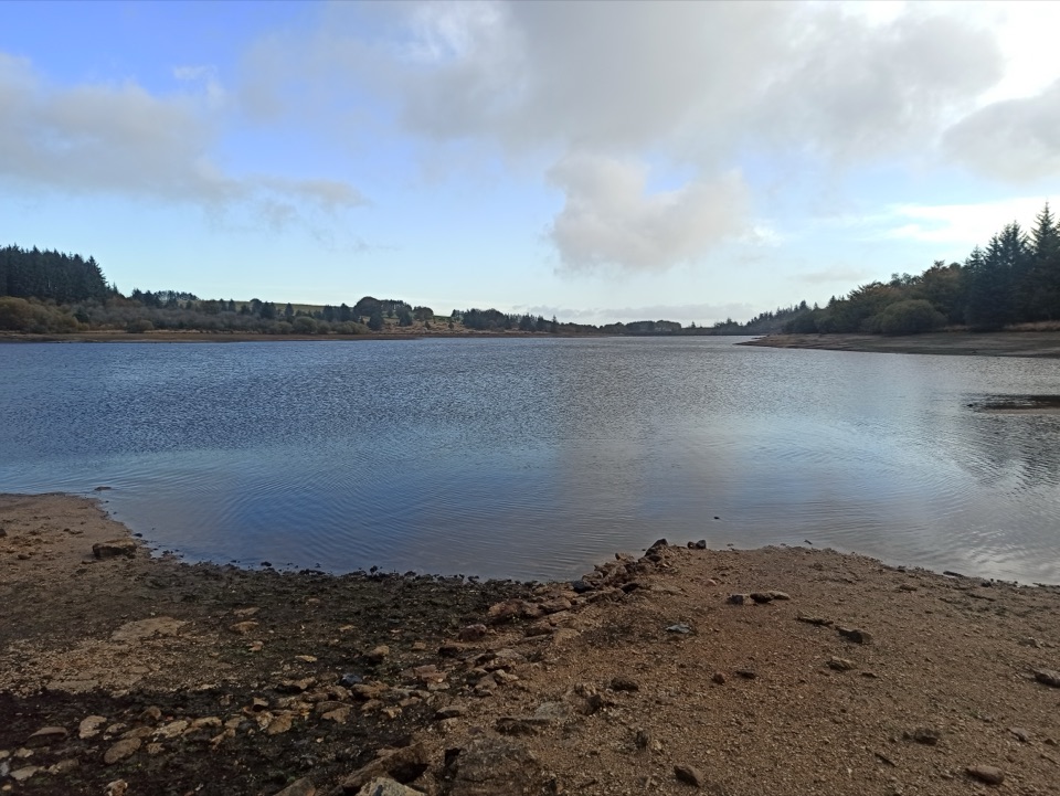 Sight · 0.4 km awayFernworthy ReservoirAn easy reservoir walk with Bronze Age remains and quiet water views
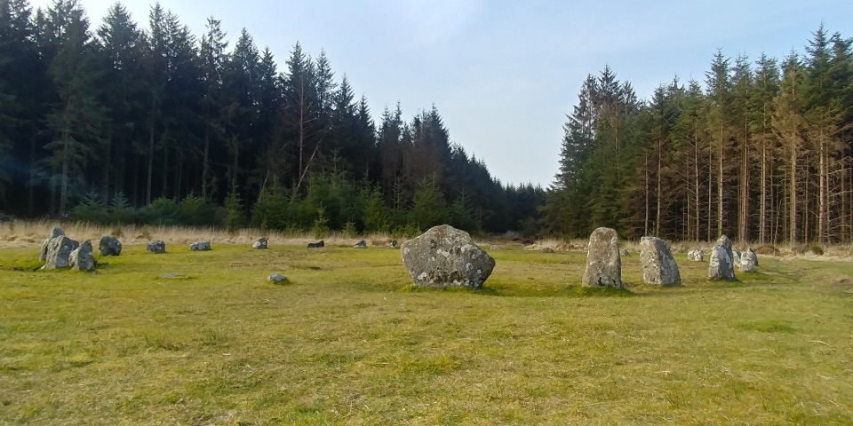 Sight · 1.5 km awayFernworthy Stone CircleA small stone ring within a much wider prehistoric landscape.
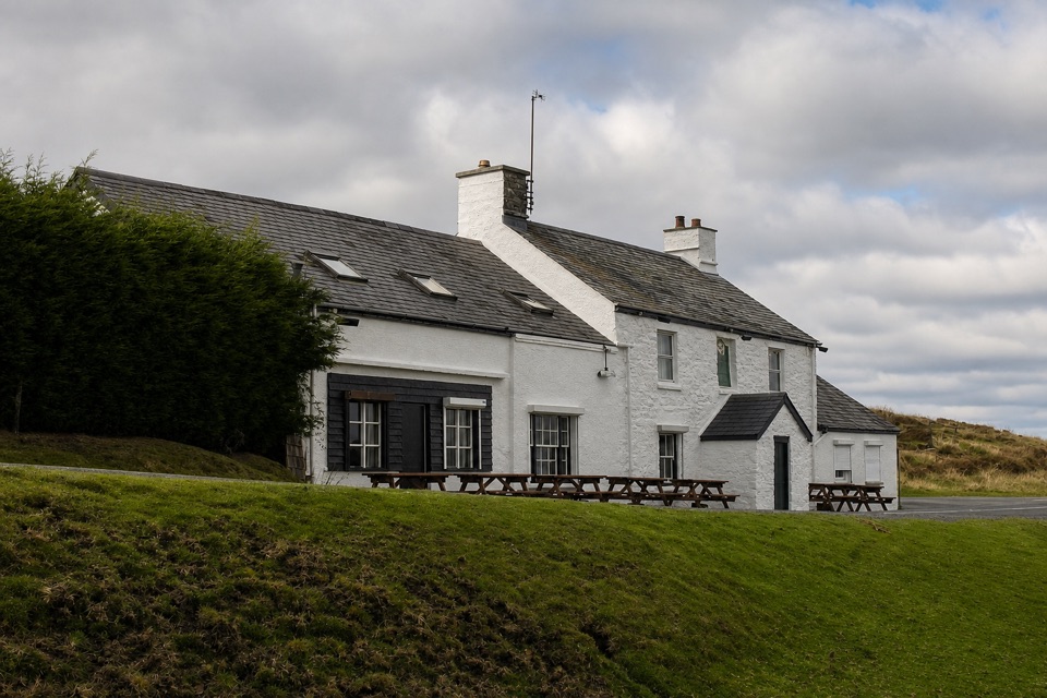 Restaurant · 3 km awayWarren House InnA high-moor pub with deep roots in tin mining.
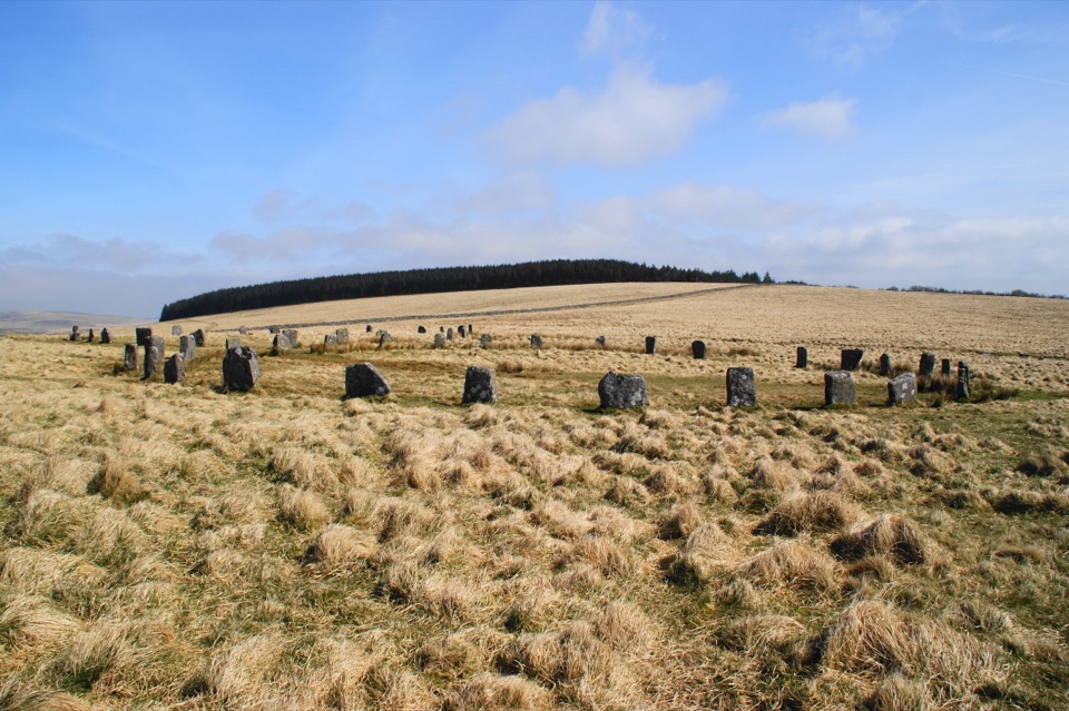 Sight · 3.1 km awayGrey Wethers Stone CirclesTwo Bronze Age circles make a figure eight on the moor
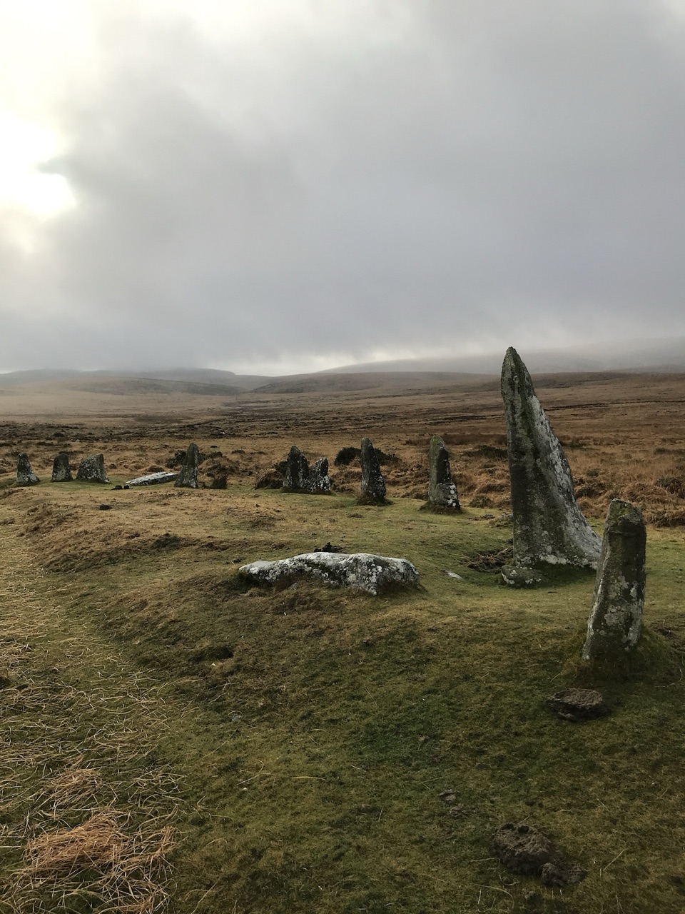 Sight · 3.8 km awayScorhill Stone CircleA wide, unrestored granite ring above the North Teign.
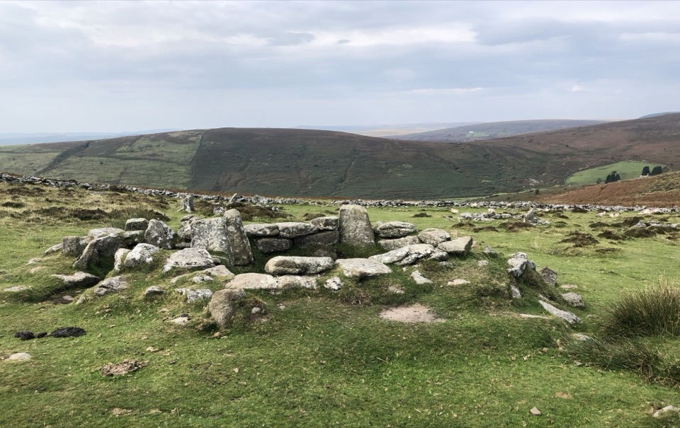 Sight · 4.3 km awayGrimspoundA Bronze Age village ringed by a 150-metre stone wall.
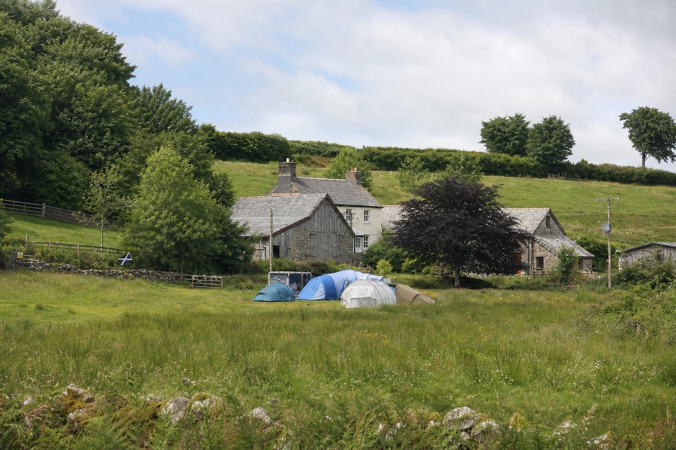 Campground · 4.8 km awayRunnage Farm CampsiteA quiet, no-hookups base for simple nights on the moor.
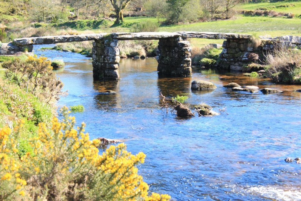 Sight · 5.4 km awayPostbridge Clapper BridgeA granite clapper bridge still carries walkers over the East Dart.
Parkwolf’s Dartmoor ranking
The audio tour guide for the drive, plus offline maps, trails, and wildlife heatmaps for when the signal drops.




