Haytor Rocks in Dartmoor National Park

#1 of 46 sights in Dartmoor

Sight · Dartmoor National Park

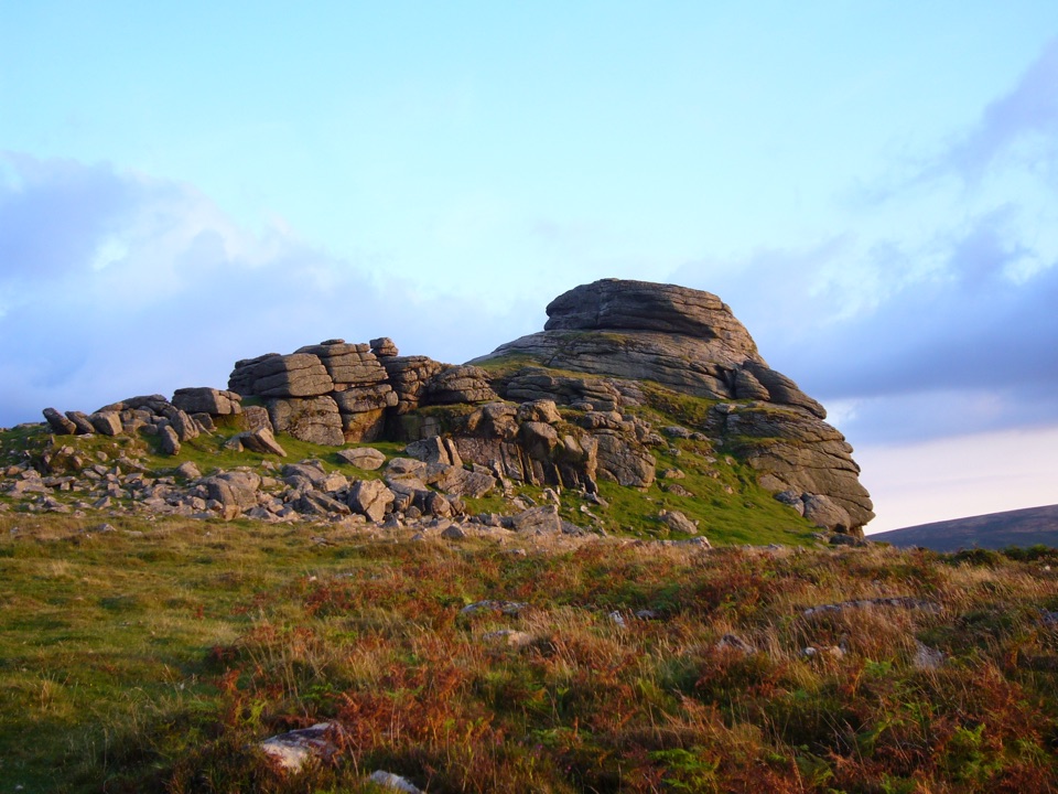
Haytor Rocks

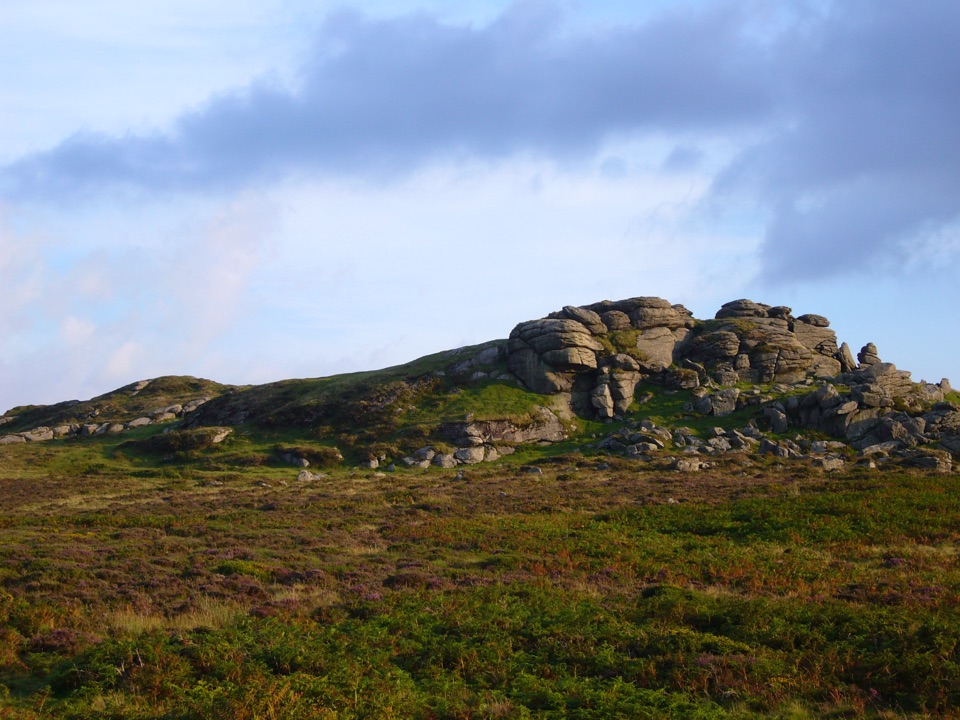
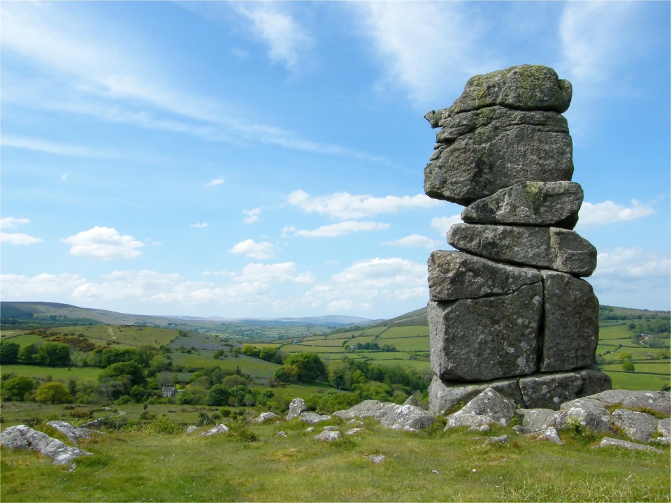
Granite towers above the moor, reached by a short steep climb.

Photo: Wikimedia Commons
Type
Sight
Nearest trail
0.4 km
Audio stories
11 nearby
  • Parking
  • Scenic viewpoint

Hear the audio tour

Haytor Rocks

Overview

About Haytor Rocks

Why stop

  • A high tor with expansive moorland views.

Heads up

  • The ascent is steep, with uneven rock underfoot.

Map

Where it is

Loading the Dartmoor map
Full map
SightHaytor Rocks50.57984, -3.75678
Keep this map with you offline in the Parkwolf app

Plan your stop

Before you go

2 active Dartmoor alerts

  • CautionDartmoor military firing restricts accessDo not cross the Okehampton, Willsworthy or Merrivale training-range boundaries when warning signals are displayed.Official details
  • CautionAccess restriction at Huccaby FarmAccess to CROW Access Land at Huccaby Farm in the West Dart River Valley is subject to a current restriction notice.Official details
Dartmoor alerts
A park ranger sits on a dash-mounted phone, talking, as Parkwolf’s Tour Guide plays “Army Cutworm Moths: A Grizzly Bear Buffet” on Grand Loop Road below Dunraven Pass in Yellowstone
Parkwolf Tour GuideThe highest, rockiest slopes around here are a summer buffet for grizzly bears.

Dartmoor Tour Guide

Your drive to Haytor Rocks, narrated.

Parkwolf is a GPS audio tour guide for Dartmoor National Park. As you drive, it chimes in with what’s ahead: hidden gems, upcoming stops, history, geology, and wildlife, right through your car’s speakers.

Recorded for this place

Haytor Rocks
0:00 / 0:36
“You're approaching Haytor, where the granite towers are an uphill walk from the visitor centre, not a roadside lookout.”

Plays as you drive up to Haytor Rocks in the Parkwolf Dartmoor Tour Guide.

More stories near here in the app

  • Emsworthy Mire from Saddle Tor
  • The Bird That Plants Oaks
  • The Farm Before the Mire
  • Hound Tor and Its Deserted Village
  • 298 audio storiesacross Dartmoor’s roads, triggered by GPS as you drive
  • Wildlife heatmapsfor Western Roe Deer, Red Fox, European Rabbit, and 13 more
  • Works offlinemaps, 54 trails, 59 places, and audio download before you lose signal
  • CarPlay readysimple controls built for the drive
★★★★★
“Fantastic app with many points of information… It’s great to just turn on while you’re driving and it gives you an audio tour of the national Park. We love it!!!!”
JMJamesApp Store review
Download Parkwolf on the App StoreGet Parkwolf on Google Play

4.7 from 8,600+ ratings

Guide

More about Haytor Rocks

What rises above the moorHaytor Rocks is a granite tor on the eastern edge of Dartmoor, a high, split crown of stone…

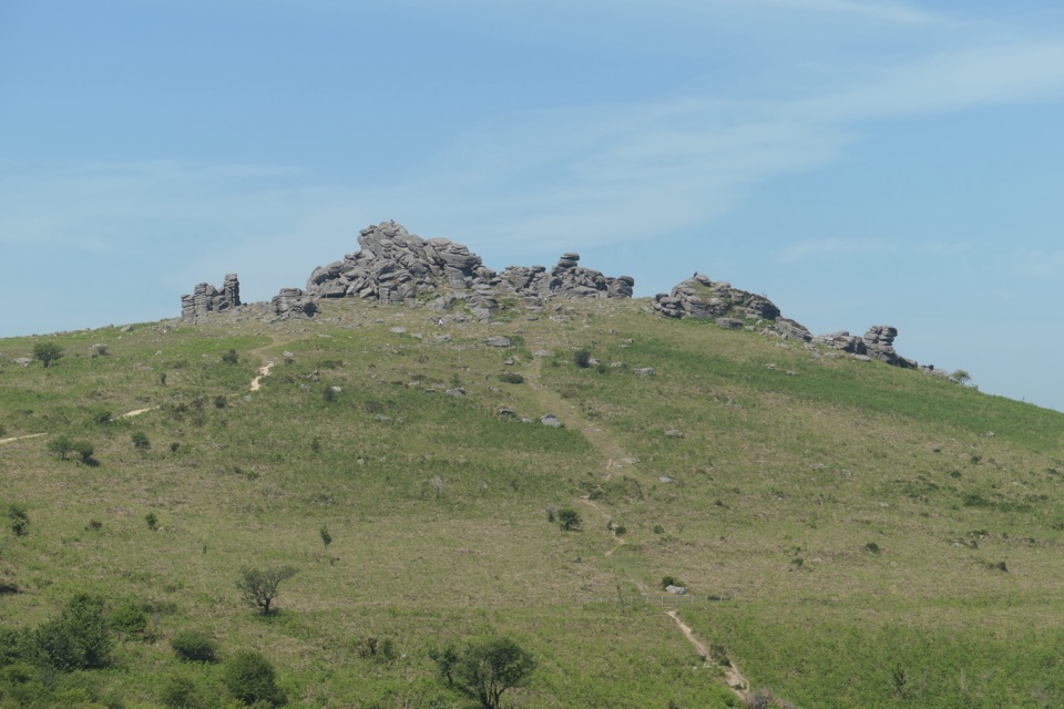
Haytor Rocks is a granite tor on the eastern edge of Dartmoor, a high, split crown of stone that makes a familiar skyline landmark. The tor reaches 457 metres and is the park’s signature summit stop. From the lower visitor-centre car park, the approach is about 800 metres uphill: short, but steep enough to feel like a climb. Come for the outcrops themselves and the open views, rather than expecting a long hike or a surfaced lookout.

Among the granite blocksThe tor’s two main masses have been worn apart through the middle, giving it the avenue-like…

The tor’s two main masses have been worn apart through the middle, giving it the avenue-like shape that stands out from the surrounding moor. The rocks break into stacked, squared faces with smaller ledges and gaps between them. You can walk among and climb onto the granite, but the ground at the top is natural rock, not a level platform; take care over the uneven footing and keep to stable places.

From the higher blocks, the view rolls out over Dartmoor toward the coast. On a clear day you can pick out the Teign Estuary and the Haldon ridge beyond the countryside. For a useful photo, stand on a stable part of the approach and keep one granite face in the foreground with the moor and distant skyline behind it. That shows both the tor’s broken outline and where it sits in the landscape.

A quarry and a granite tramwayHaytor’s stone has its own story below the summit.

Haytor’s stone has its own story below the summit. The nearby Haytor Quarry was the largest of five granite quarries in the area, and worked from the late eighteenth century into the nineteenth. In 1820, George Templer built a horse-drawn tramway to carry the granite to Stover Canal, from where it went on to Teignmouth Docks. Its rails were made from parallel granite blocks, with guiding flanges cut into their outer edges; each truck could carry up to three tons. Haytor granite was also used in old London Bridge and the British Museum.

Choosing your routeThe Haytor area has lower, middle and upper car parks, with the visitor centre at the lower one.

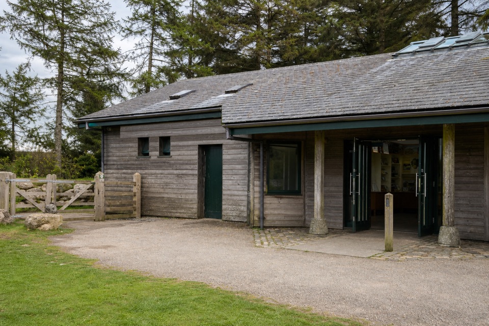
The Haytor area has lower, middle and upper car parks, with the visitor centre at the lower one. The roughly 800-metre ascent is from the visitor-centre car park; the rocks are reached on foot. The separate centre has public and disabled toilets, step-free access inside, Blue Badge bays and electric-vehicle charging. Those facilities are useful before or after the climb; the rocky summit approach itself is not step-free.

If you want a gentler alternative, the park’s 2-kilometre return Miles Without Stiles route starts from Haytor middle car park crosses the road and climbs gently beneath the rocks to the quarry and an old tramway viewpoint. The sheltered quarry is a good place to pause. The route is graded “For Some” and has narrow, steep sections through the quarry, so it is not a step-free way to the summit.

Wildlife

Wildlife in Dartmoor

All Dartmoor wildlife maps

Sighting maps show where each species has been reported across Dartmoor. Wildlife moves, so no sighting is guaranteed.

Keep exploring

Near Haytor Rocks

See it all on the map

Trails nearby

More stops nearby

Parkwolf’s Dartmoor ranking

Top sights in Dartmoor

All 59 places
  1. 2Postbridge Clapper BridgeSight
  2. 3Hound TorSight
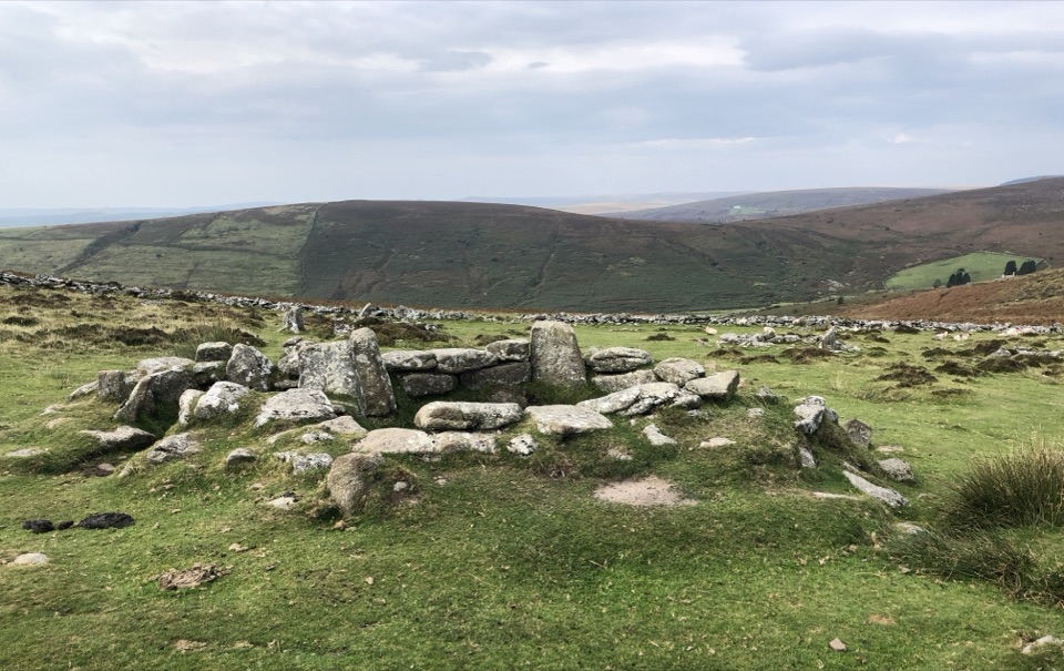
  3. 4GrimspoundSight
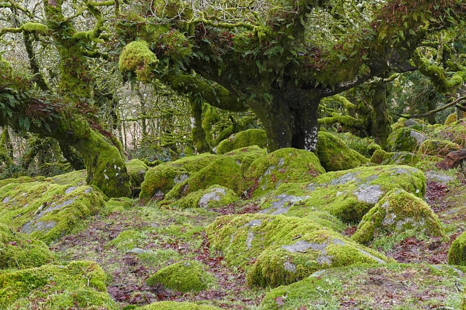
  4. 5Wistman’s WoodSight
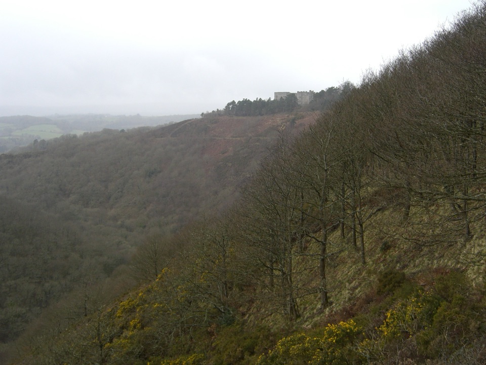
  5. 6Castle DrogoSight
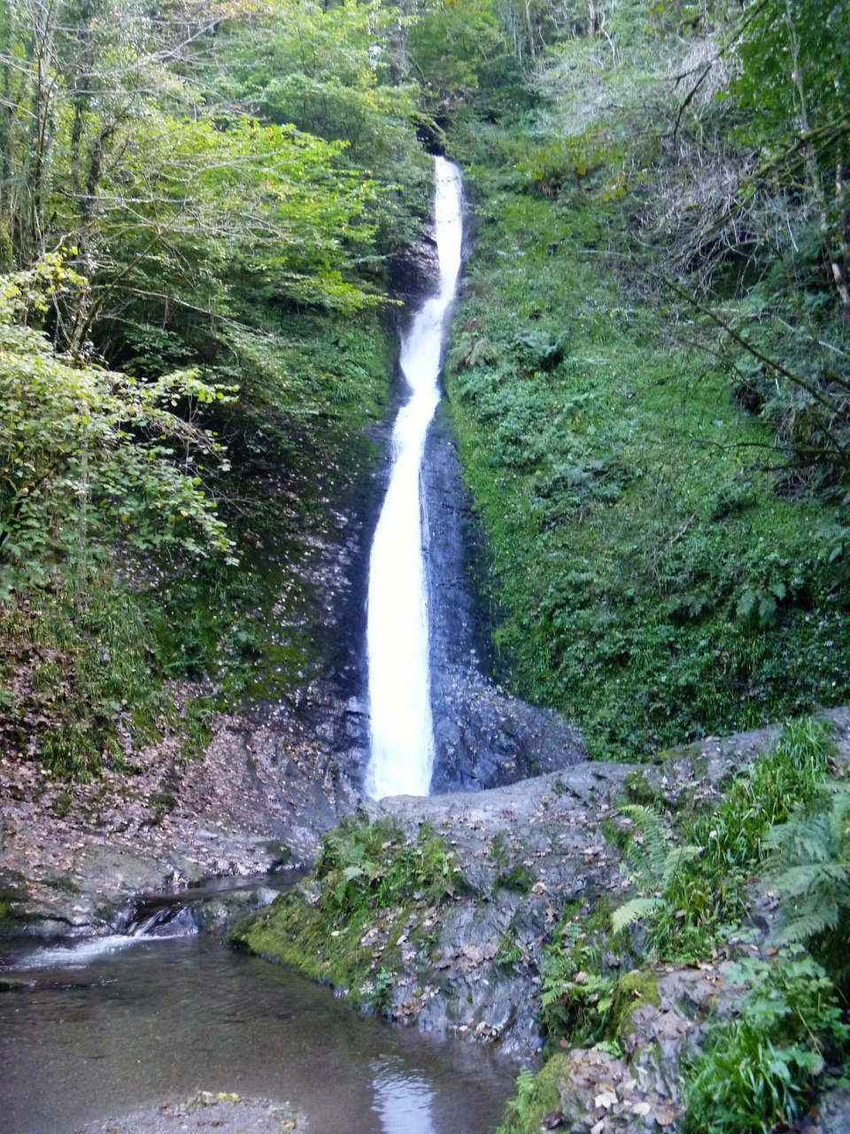
  6. 7Lydford GorgeSight

Take Parkwolf to Dartmoor.

The audio tour guide for the drive, plus offline maps, trails, and wildlife heatmaps for when the signal drops.

4.7 from 8,600+ ratings

Download Parkwolf on the App StoreGet Parkwolf on Google Play