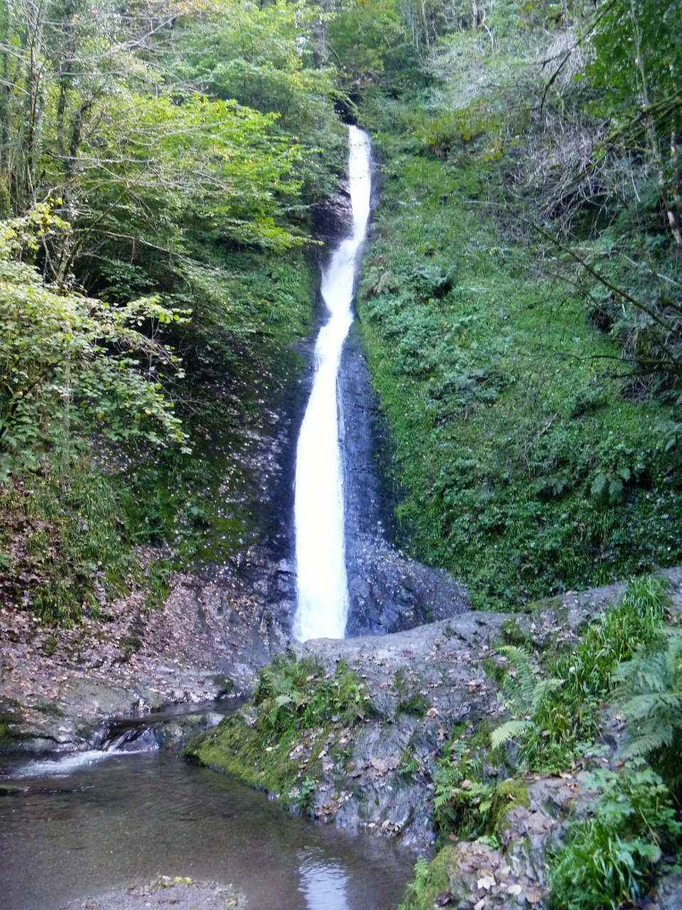
Lydford Gorge in Dartmoor National Park

#7 of 46 sights in Dartmoor

Sight · Dartmoor National Park

Lydford Gorge

Two waterfalls, steep paths and the River Lyd in a deep gorge.

Photo: Wikimedia Commons
Type
Sight
Nearest trail
Right here
Audio stories
5 nearby
  • Trailhead
  • Scenic viewpoint
  • Restrooms
  • Parking

Hear the audio tour

Lydford Gorge: Devil's Cauldron

Overview

About Lydford Gorge

Why stop

  • Whitelady Waterfall and Devil’s Cauldron give the gorge two distinct walks.

Heads up

  • Steep, uneven steps make both gorge routes hard going.

Map

Where it is

Loading the Dartmoor map
Full map
SightLydford Gorge50.64062, -4.11047
Keep this map with you offline in the Parkwolf app

Plan your stop

Before you go

2 active Dartmoor alerts

  • CautionDartmoor military firing restricts accessDo not cross the Okehampton, Willsworthy or Merrivale training-range boundaries when warning signals are displayed.Official details
  • CautionAccess restriction at Huccaby FarmAccess to CROW Access Land at Huccaby Farm in the West Dart River Valley is subject to a current restriction notice.Official details
Dartmoor alerts
A park ranger sits on a dash-mounted phone, talking, as Parkwolf’s Tour Guide plays “Army Cutworm Moths: A Grizzly Bear Buffet” on Grand Loop Road below Dunraven Pass in Yellowstone
Parkwolf Tour GuideThe highest, rockiest slopes around here are a summer buffet for grizzly bears.

Dartmoor Tour Guide

Your drive to Lydford Gorge, narrated.

Parkwolf is a GPS audio tour guide for Dartmoor National Park. As you drive, it chimes in with what’s ahead: hidden gems, upcoming stops, history, geology, and wildlife, right through your car’s speakers.

Recorded for this place

Lydford Gorge: Devil's Cauldron
0:00 / 0:38
“You're approaching the Devil's Cauldron entrance to Lydford Gorge. Here the River Lyd churns through a dark, narrow rock channel, and a short but steep loop takes you to a platform above the water.”

Plays as you drive up to Lydford Gorge in the Parkwolf Dartmoor Tour Guide.

More stories near here in the app

  • The Watchmaker's Words
  • The River’s Old Cauldrons
  • Whitelady Waterfall from the Waterfall Entrance
  • Lydford Before the Castle
  • 298 audio storiesacross Dartmoor’s roads, triggered by GPS as you drive
  • Wildlife heatmapsfor Western Roe Deer, Red Fox, European Rabbit, and 13 more
  • Works offlinemaps, 54 trails, 59 places, and audio download before you lose signal
  • CarPlay readysimple controls built for the drive
★★★★★
“Fantastic app with many points of information… It’s great to just turn on while you’re driving and it gives you an audio tour of the national Park. We love it!!!!”
JMJamesApp Store review
Download Parkwolf on the App StoreGet Parkwolf on Google Play

4.7 from 8,600+ ratings

Guide

More about Lydford Gorge

A gorge built for a slow walkLydford Gorge is a steep-sided, wooded stretch of the River Lyd near Lydford, where water cuts…

Lydford Gorge is a steep-sided, wooded stretch of the River Lyd near Lydford, where water cuts a deep ravine through rock and temperate rainforest. The National Trust describes it as the deepest river gorge in south-west England. The two main reasons to come are very different: the 30-metre Whitelady Waterfall and Devil’s Cauldron, where the river drops into deep potholes below a viewing platform. If you want to get down beside fast water and see what the river has carved, this is one of Dartmoor’s strongest walks. It’s a proper outing rather than a quick roadside stop; both gorge routes descend steeply and climb back out on rugged steps, so leave time and expect to work on the return.

Start by choosing an entrance. Waterfall and Devil’s Cauldron are separate sides of the property, just over a mile apart, with their own car parks and walks. Pick the side that matches your main goal. Don’t assume you can stroll between them along the road: it’s narrow and has no footpath. A wooded link joins the two trail areas, but at 1.3 miles one way with several long flights of steps, it’s another walk in its own right.

Two very different river walksFrom the Waterfall entrance, the circular Waterfall Trail is 2.8 km (1.

From the Waterfall entrance, the circular Waterfall Trail is 2.8 km (1.75 miles) and takes about an hour. It descends steeply to the foot of Whitelady, then climbs back through ancient woodland. The falls are 30 metres high, but their character depends on recent rain: they can be a fine cascade or a strong rush of white water. Take a moment to look back at the gorge walls as you climb; the changing angle makes the depth easier to read.

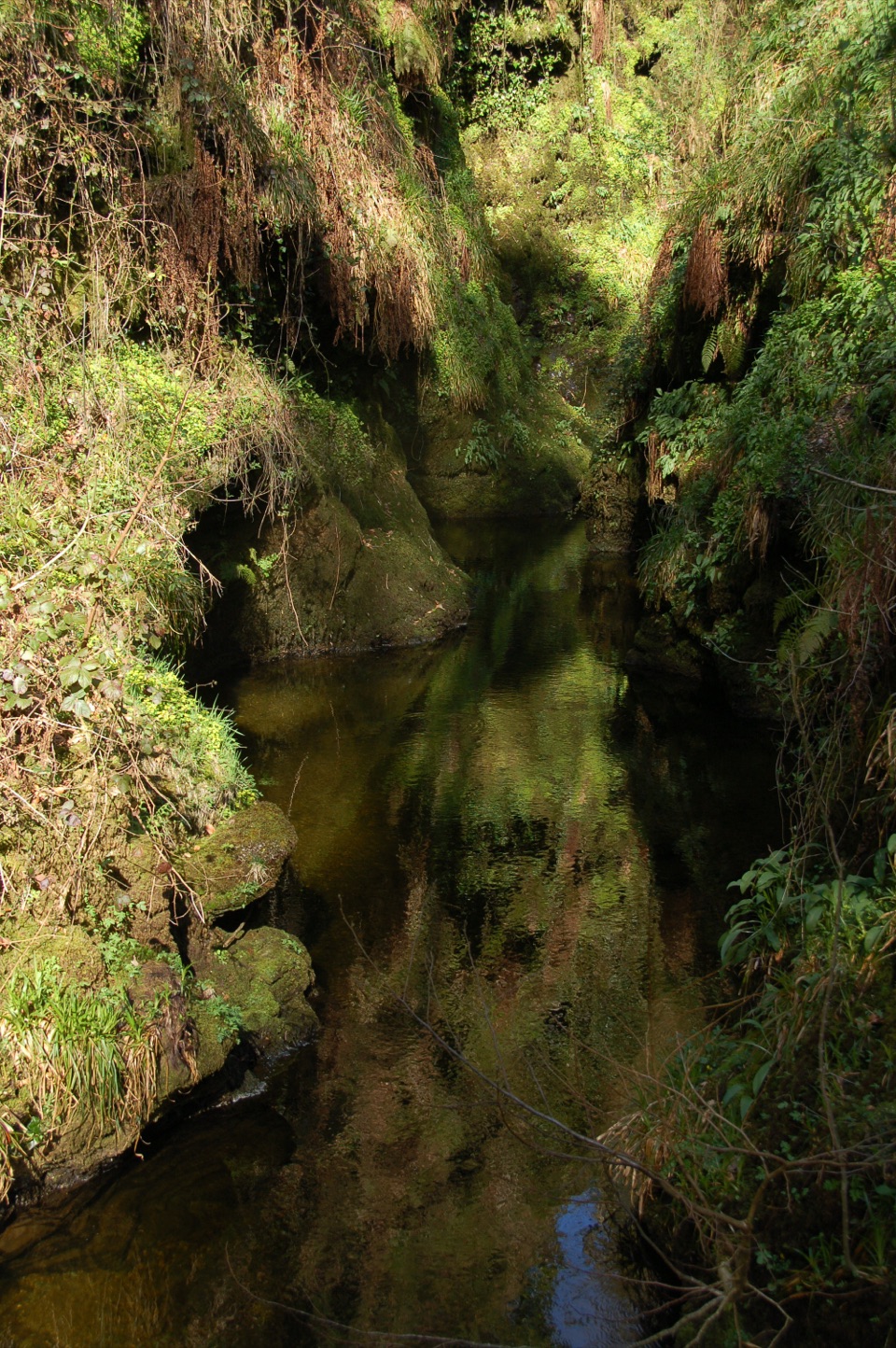
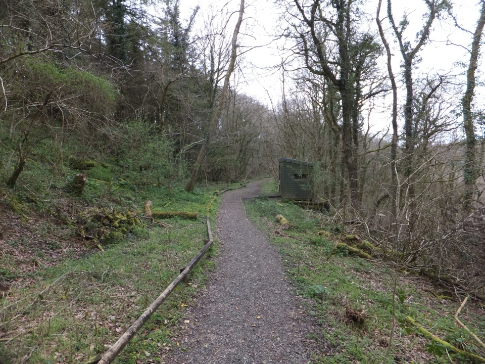
Devil’s Cauldron is the shorter gorge walk. It follows the River Lyd into a narrow, dark section where water swirls through rock potholes, with a platform suspended above the channel. The last steps are narrow and steep, and the rugged ground can be slippery even when dry. Slow down where the path squeezes beside the water. For a different kind of walk, the old railway path follows the former Great Western Railway through deep cuttings that have returned to woodland and reaches a bird hide.

Water, rock and timeThe gorge began forming around 450,000 years ago, when the River Lyd captured the headwaters of…

The gorge began forming around 450,000 years ago, when the River Lyd captured the headwaters of the River Burn. Meltwater at the end of the last ice age, about 11,500 years ago, helped shape the gorge you see now. Some exposed rocks hold fossil bryozoans, which helped date them to the Devonian period; the rock layers were folded by crustal movement around 300 million years ago. The potholes and folded bands show water working on much older rock.

At Whitelady Waterfall, photograph from near the base with a stretch of stream in the foreground; it gives the 30-metre drop a sense of scale. At Devil’s Cauldron, the viewing platform puts you over the river, so include both the dark rock walls and water below rather than pointing straight down.

Plan the visitBoth entrances have free car parks, toilets and refreshments, but the food differs.

Both entrances have free car parks, toilets and refreshments, but the food differs. The Devil’s Cauldron tearoom serves hot lunches, light bites, bakes and cream teas. Waterfall is a takeaway stop for drinks, snacks and bakes; its car park also has four EV chargers. The main gorge walks are seasonal, generally running from March to October, with more limited routes and facilities in winter, so check which side is open before setting out.

A step-free route reaches a view of Whitelady, but steep gradients and rough, sometimes slippery ground still matter. A bookable Tramper route reaches the waterfall and bird hide, not into the gorge itself. Dogs are welcome on short leads and must stay out of the river; swimming is discouraged for safety and habitat protection. If you want the most dramatic section, choose a gorge walk. If steep steps are a poor fit, the railway path gives you a quieter way to experience the woods without descending to the river.

Wildlife

Wildlife in Dartmoor

All Dartmoor wildlife maps

Sighting maps show where each species has been reported across Dartmoor. Wildlife moves, so no sighting is guaranteed.

Parkwolf’s Dartmoor ranking

Top sights in Dartmoor

All 59 places
  1. 1Haytor RocksSight
  2. 2Postbridge Clapper BridgeSight
  3. 3Hound TorSight
  4. 4GrimspoundSight
  5. 5Wistman’s WoodSight
  6. 6Castle DrogoSight

Take Parkwolf to Dartmoor.

The audio tour guide for the drive, plus offline maps, trails, and wildlife heatmaps for when the signal drops.

4.7 from 8,600+ ratings

Download Parkwolf on the App StoreGet Parkwolf on Google Play