Bellever Forest Easy Access Trail in Dartmoor National Park

Dartmoor National Park

Bellever Forest Easy Access Trail

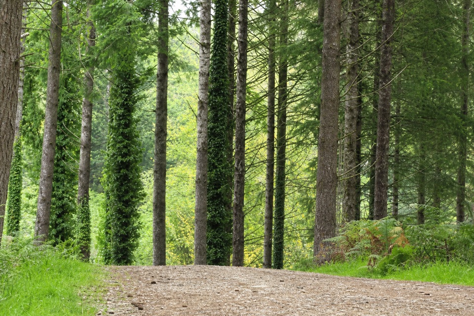
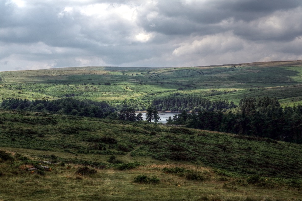
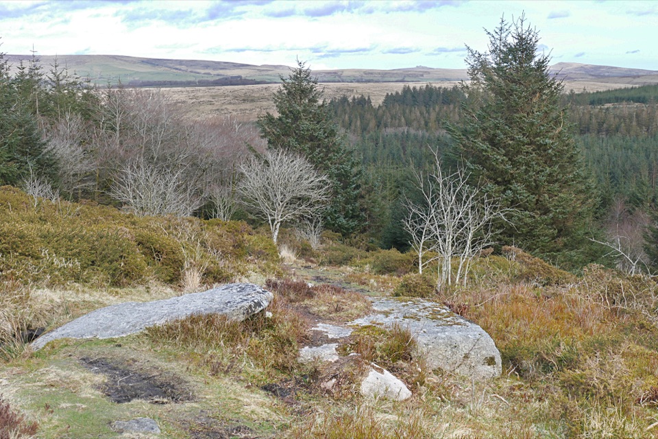
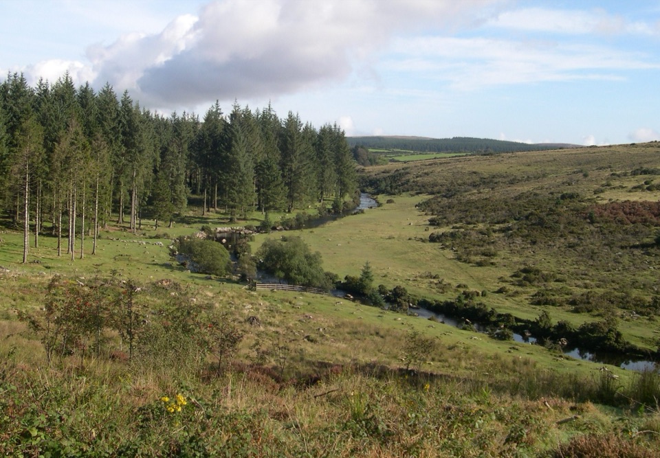
A level forest path reaches a picnic spot on the East Dart.

Photo: Wikimedia Commons
Length
0.6km
Time
15min
Elevation
Flat
Difficulty
Easy
  • Dogs allowed
  • High point 319 m

Hear the audio tour

Bellever Forest and the East Dart

Overview

About Bellever Forest Easy Access Trail

Why go

  • Wide, level surface all the way to the riverbank
  • Benches on the path and beside the East Dart

Heads up

  • Very short; it is a riverside out-and-back, not a moorland loop
  • Bellever village car park has no designated accessible bays

Map & elevation

The route

Loading the Dartmoor map
Full map
Elevation310–319 m
TrailheadBellever village car park50.57886, -3.89968
Keep this map with you offline in the Parkwolf app

Plan your hike

Before you go

Parking

Use Bellever village car park in Bellever village, not the Postbridge village car park. From the B3212 at Postbridge take the Bellever turning and continue 1.5 km; turn left at the grass triangle in Bellever, then the entrance is about 130 m ahead on the right. Paid parking; no designated accessible bays.


2 active Dartmoor alerts

  • CautionDartmoor military firing restricts accessDo not cross the Okehampton, Willsworthy or Merrivale training-range boundaries when warning signals are displayed.Official details
  • CautionAccess restriction at Huccaby FarmAccess to CROW Access Land at Huccaby Farm in the West Dart River Valley is subject to a current restriction notice.Official details
Dartmoor alerts
A park ranger sits on a dash-mounted phone, talking, as Parkwolf’s Tour Guide plays “Army Cutworm Moths: A Grizzly Bear Buffet” on Grand Loop Road below Dunraven Pass in Yellowstone
Parkwolf Tour GuideThe highest, rockiest slopes around here are a summer buffet for grizzly bears.

Dartmoor Tour Guide

Your drive to Bellever Forest Easy Access Trail, narrated.

Parkwolf is a GPS audio tour guide for Dartmoor National Park. As you drive, it chimes in with what’s ahead: hidden gems, upcoming stops, history, geology, and wildlife, right through your car’s speakers.

Recorded for this trailhead

Bellever Forest and the East Dart
0:00 / 0:31
“You're nearing Bellever Forest, where a short surfaced path from the village car park reaches picnic spots beside the East Dart.”

Plays as you drive up to this trailhead in the Parkwolf Dartmoor Tour Guide.

More stories near here in the app

  • When Forest Meant Hunting Ground
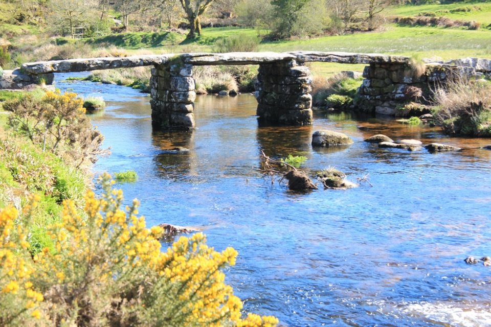
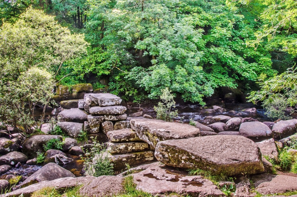
  • Postbridge: Stone Crossing and Bronze Age Finds
  • Bellever's Way of the Dead
  • The Bear Skin in the Peat
  • 298 audio storiesacross Dartmoor’s roads, triggered by GPS as you drive
  • Wildlife heatmapsfor Western Roe Deer, Red Fox, European Rabbit, and 13 more
  • Works offlinemaps, 54 trails, 59 places, and audio download before you lose signal
  • CarPlay readysimple controls built for the drive
★★★★★
“Fantastic app with many points of information… It’s great to just turn on while you’re driving and it gives you an audio tour of the national Park. We love it!!!!”
JMJamesApp Store review
Download Parkwolf on the App StoreGet Parkwolf on Google Play

4.7 from 8,600+ ratings

Trail guide

Hiking Bellever Forest Easy Access Trail

A short riverside out-and-backBellever Forest Easy Access Trail is a wide, level, surfaced path from Bellever village car…

Bellever Forest Easy Access Trail is a wide, level, surfaced path from Bellever village car park to the East Dart. The mapped line is 0.18 miles one way, or 0.37 miles there and back. The listed figure is 0.15 miles, so expect a little difference. Give it about 15 minutes with a short riverside pause. It suits a gentle outing to the water, not a moorland hike.

Follow the path to the waterThe compacted footway passes through the forest to the riverbank, where benches make it easy to…

The compacted footway passes through the forest to the riverbank, where benches make it easy to stop for a picnic before returning the same way. The route is short and nearly level throughout. For a longer accessible walk, the 4 km Miles Without Stiles loop circles Lakehead Hill, but it starts at the Postbridge visitor-centre car park and includes rough grass and unsurfaced sections; that is a different trail.

Getting thereUse Bellever village car park, not Postbridge village car park.

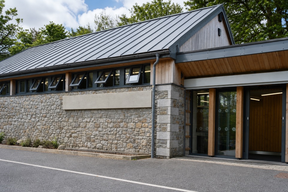
Use Bellever village car park, not Postbridge village car park. From the B3212 at Postbridge, follow the Bellever signs for 1.5 km. In Bellever village, turn left at the grass triangle; the car-park entrance is about 130 m ahead on the right. Parking is paid, and toilets and picnic benches are at the car park. The track is wide, level and surfaced, but there are no designated accessible parking bays. Dogs are allowed; Dartmoor ponies graze in the forest, so keep dogs close and use a lead if they do not reliably return.

Wildlife

Wildlife in Dartmoor

All Dartmoor wildlife maps

Sighting maps show where each species has been reported across Dartmoor. Wildlife moves, so no sighting is guaranteed.

Keep exploring

Near Bellever Forest Easy Access Trail

See it all on the map

Trails that start nearby

Places near the trailhead

Parkwolf’s Dartmoor ranking

Top-rated trails in Dartmoor

All 54 trails
  1. 1Wistman's Wood WalkEasy · 4 km
  2. 2Teign Gorge Classic CircuitModerate · 6.6 km
  3. 3Burrator Reservoir Circular WalkEasy · 6.3 km
  4. 4Lydford Gorge Waterfall TrailModerate · 2.8 km
  5. 5Hound Tor WalkEasy · 1 km
  6. 6Shipley Bridge to Avon DamEasy · 5.8 km

Take Parkwolf to Dartmoor.

The audio tour guide for the drive, plus offline maps, trails, and wildlife heatmaps for when the signal drops.

4.7 from 8,600+ ratings

Download Parkwolf on the App StoreGet Parkwolf on Google Play