Parking
Start at Bellever village car park, a paid car park with toilets, including an accessible toilet, and a coffee-van concession. The walk ends in Lydford, so arrange your return before setting out.
Dartmoor National Park
A full-day moor crossing to an old church, with river fords.
Overview
Past Bagga Tor moorgate, cross fields to the Tavy. At Higher Willsworthy the usual crossing is by stepping stones; if water is too high, use the footbridge upstream and rejoin the path. The route then threads fields and tracks past Willsworthy and Beardon. When Willsworthy Range is firing, use the road detour and check Dartmoor's current range notices before reaching that section. From Watervale, cross the A386 carefully, pass farms, and take the footbridge over the Lyd. The final approach runs beneath the old railway viaduct into Lydford village and the church.
 Parkwolf’s verdictTavy, Willsworthy and Lydford
Map & elevation
Plan your hike

The highest, rockiest slopes around here are a summer buffet for grizzly bears.
Dartmoor Tour Guide
Parkwolf is a GPS audio tour guide for Dartmoor National Park. As you drive, it chimes in with what’s ahead: hidden gems, upcoming stops, history, geology, and wildlife, right through your car’s speakers.
Recorded for this area
Bellever Forest and the East Dart“You're nearing Bellever Forest, where a short surfaced path from the village car park reaches picnic spots beside the East Dart.”
Plays on the road 0.2 km from the trailhead in the Parkwolf Dartmoor Tour Guide.
More stories near here in the app
“Fantastic app with many points of information… It’s great to just turn on while you’re driving and it gives you an audio tour of the national Park. We love it!!!!”


Trail guide
The Lych Way is a 12.5-mile one-way walk from Bellever Forest car park to Lydford, crossing central Dartmoor with about 495 m of total ascent. It follows tracks and bridleways through Bellever's plantation, crosses open high moor and finishes in Lydford village; allow 6.5 to 7 hours of walking. Choose it if you want a proper cross-moor day and can arrange transport at both ends. This is a long point-to-point route, not a short Bellever loop. The name comes from Old English lych, meaning body: local tradition says people from remote moorland farms carried their dead to Lydford church. The precise old line and starting place varied, so this is the modern mapped Bellever-to-Lydford route, not a proven single medieval track.
Leave Bellever village car park, walk up through the hamlet past the hostel, then take the forest track as it climbs through plantation. After crossing the B3212, the route enters damp open moor, where low waymark posts and several faint lines lead toward the ruins and chimney at Powdermills. From there it swings toward Longaford Tor, passing to the left rather than climbing the summit, and drops across open ground to the West Dart near its weir. The path gets hard to read here. The river crossing is part of the walk; if the water is too high, continue upstream to a boulder crossing, where wet rocks can be slippery.
After the West Dart, climb through a gully between Beardown Tors and Lydford Tor, pass close to the smaller Lydford Tor, then descend to the Cowsic at Broad Hole. This river is broad and usually shallow at the crossing. Beyond it, a track meanders across Conies Down; sandy and stony patches help you pick it out. The route drops to Walkham at Sandy Ford, then climbs a sunken track past White Barrow, a low green mound. This is a long, open section with several faint path choices. Navigation matters more than steepness: several faint paths can split away, and waymarks are not continuous, so poor visibility makes the route much harder.
Bellever's paid village car park has toilets, including an accessible one, and a coffee-van concession. Dogs are allowed, but keep them on a lead from 1 March through 31 July and whenever livestock are near; on CRoW Access Land during that period, the lead must be fixed and no longer than 2 m. Sort out the return journey from Lydford before you start.
Wildlife
 32 sightingsWestern Roe DeerMost seen around 7 AMSighting map
 10 sightingsRed FoxMost seen around 7 PMSighting map
 37 sightingsEuropean RabbitMost seen around 7 AMSighting map
 19 sightingsGrey HeronMost seen around 7 PMSighting map
 34 sightingsGreat Spotted WoodpeckerMost seen around 7 AMSighting map
 20 sightingsCommon RavenMost seen around 8 AMSighting map
Sighting maps show where each species has been reported across Dartmoor. Wildlife moves, so no sighting is guaranteed.
Keep exploring
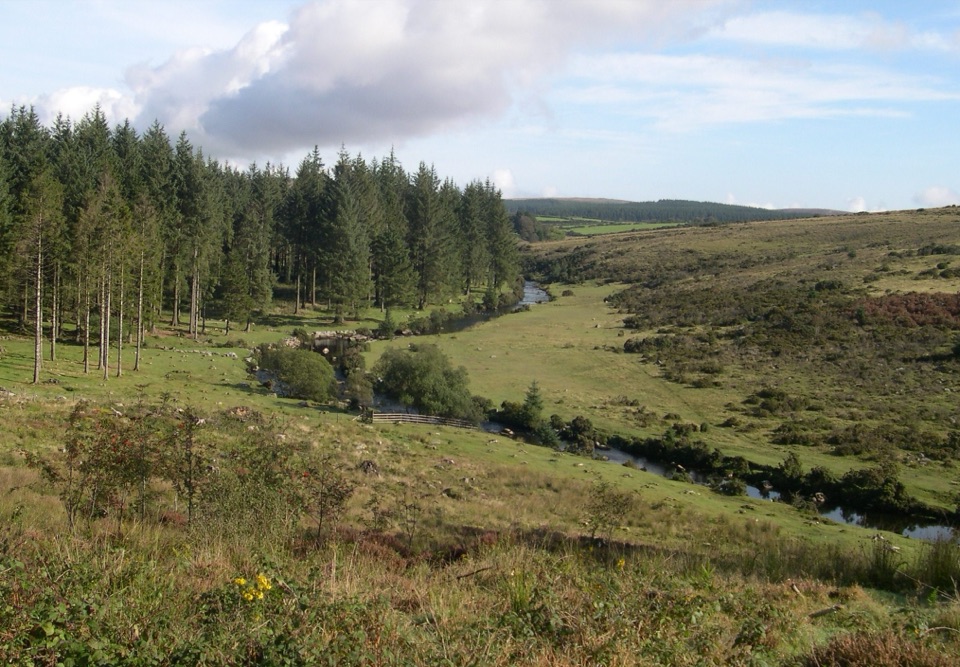 EasyBellever Forest Easy Access Trail0.6 km · 15 min · At the trailheadA level forest path reaches a picnic spot on the East Dart.
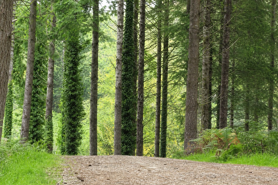 EasyCycle and Tramper Trail at Bellever Forest3.9 km · 1.5 hr · At the trailheadA forest loop with archaeology on mostly surfaced tracks
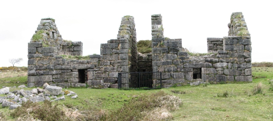 ChallengingGunpowder Trail to Powdermills6.1 km · 2.5 hr · 1.9 km awayA rough moorland walk to Devon’s only gunpowder works ruins.
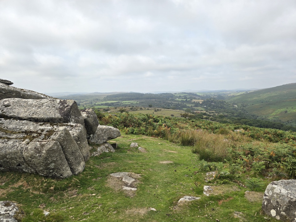 ModerateHexworthy Walk5 km · 2.5 hr · 4.7 km awayFarmsteads, tin-mill ruins and one proper moorland climb.
 EasyWistman's Wood Walk4 km · 1.3 hr · 5.1 km awayA 4 km return to a gnarled oak wood by the valley.
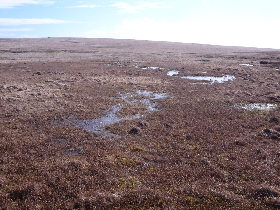 ModerateCombestone Tor to Aune Head Mire8.5 km · 3.8 hr · 5.6 km awayFind the Avon’s source among open pools and peat.
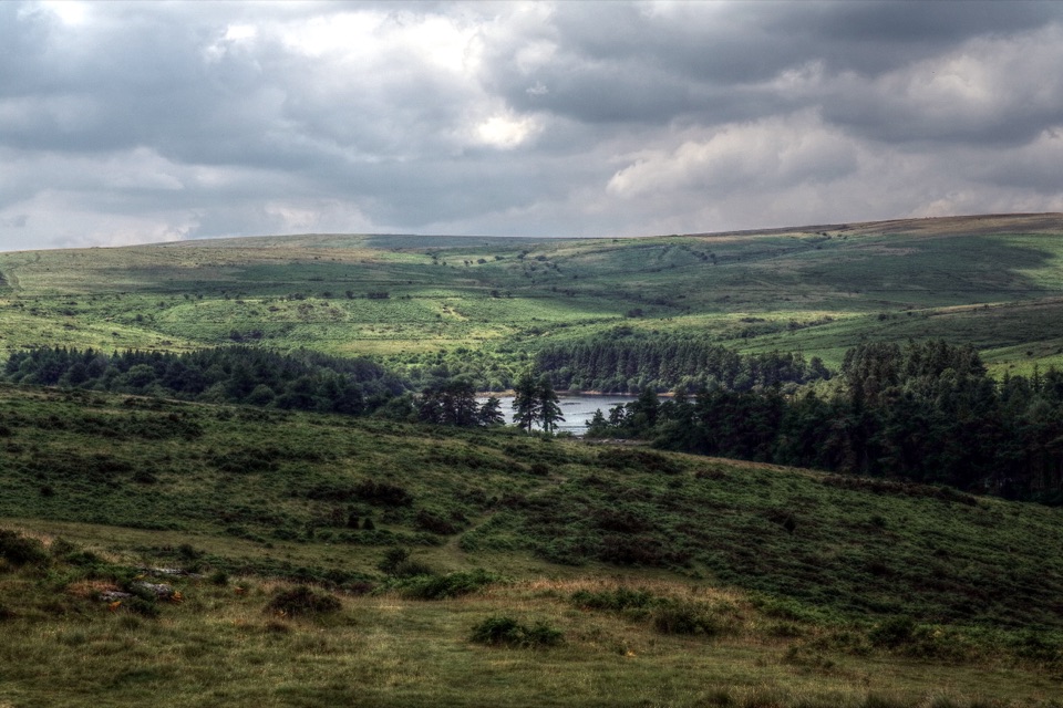 ModerateVenford Reservoir and Bench Tor Walk2.8 km · 1.5 hr · 6.6 km awayA reservoir crossing, open moor, and a granite tor above Dart Gorge.
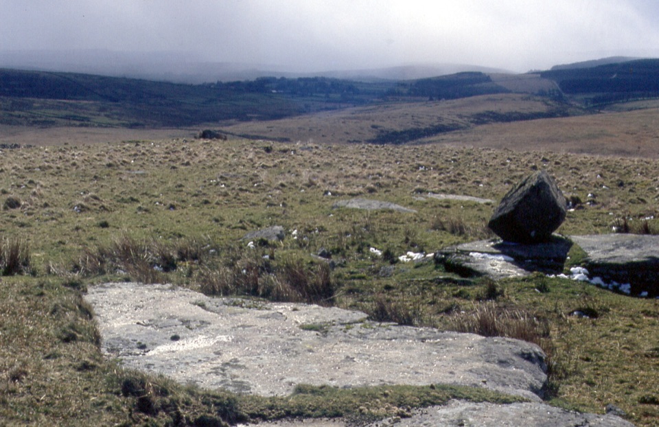 ChallengingFernworthy Reservoir to Winney’s Down12 km · 6.5 hr · 6.8 km awayA full day crossing wet moor to a peat cutters’ shelter.
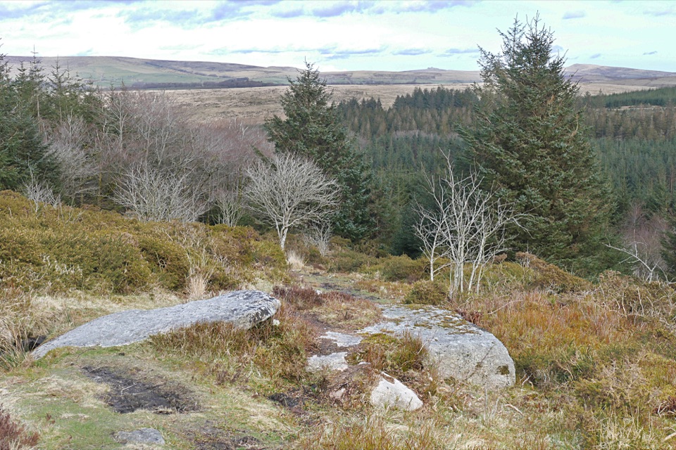 Sight · At the trailheadBellever ForestRiverside picnics, working woodland and Bronze Age remains.
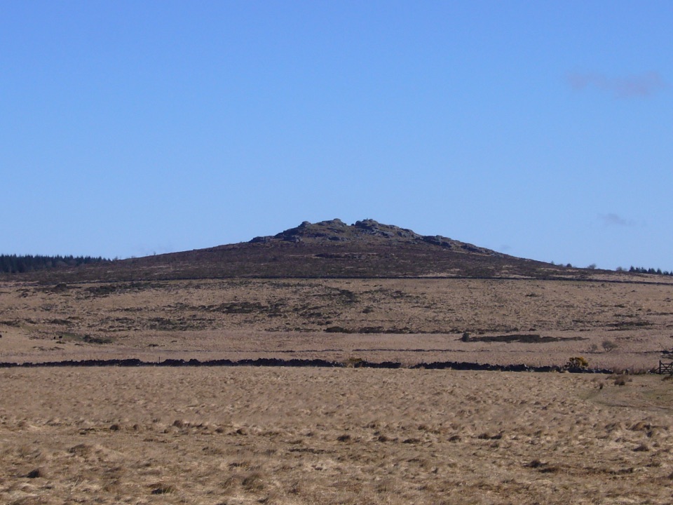 Sight · 1.4 km awayBellever TorA rocky summit walk past hut circles to an open-moor view.
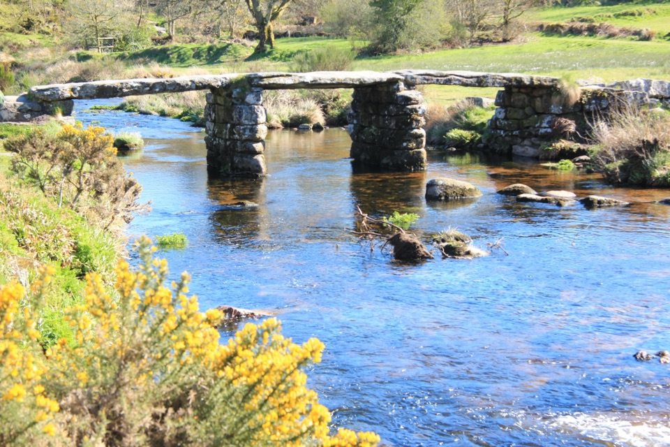 Sight · 1.9 km awayPostbridge Clapper BridgeA granite clapper bridge still carries walkers over the East Dart.
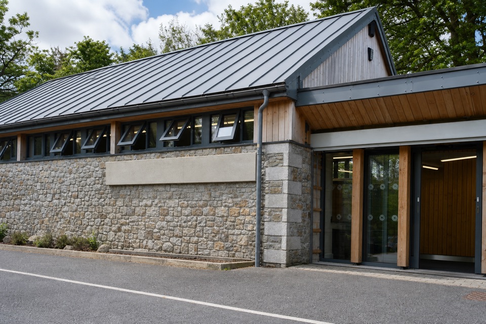 Visitor center · 1.9 km awayNational Park Visitor Centre, PostbridgeA Bronze Age burial survived in peat with beads and fur intact.
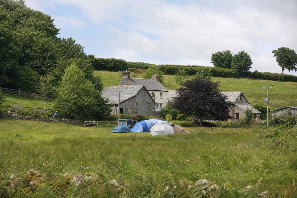 Campground · 2.3 km awayRunnage Farm CampsiteA quiet, no-hookups base for simple nights on the moor.
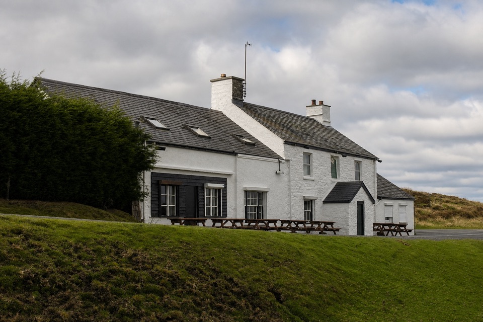 Restaurant · 4.2 km awayWarren House InnA high-moor pub with deep roots in tin mining.
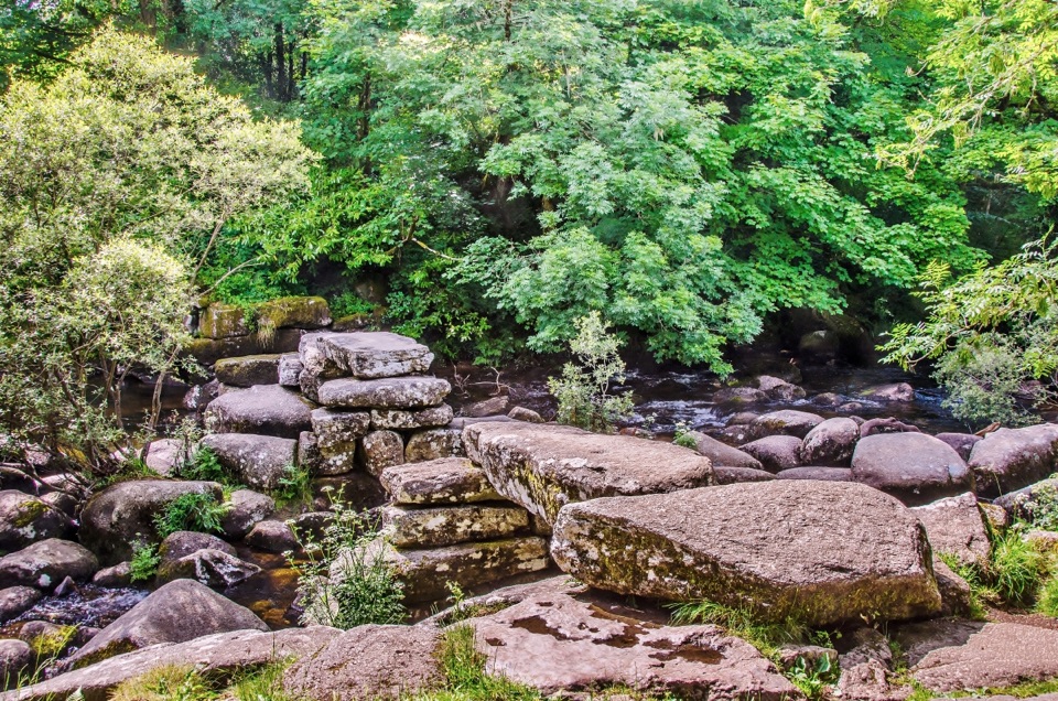 Sight · 4.3 km awayDartmeetTwo crossings beside where the East and West Dart meet.
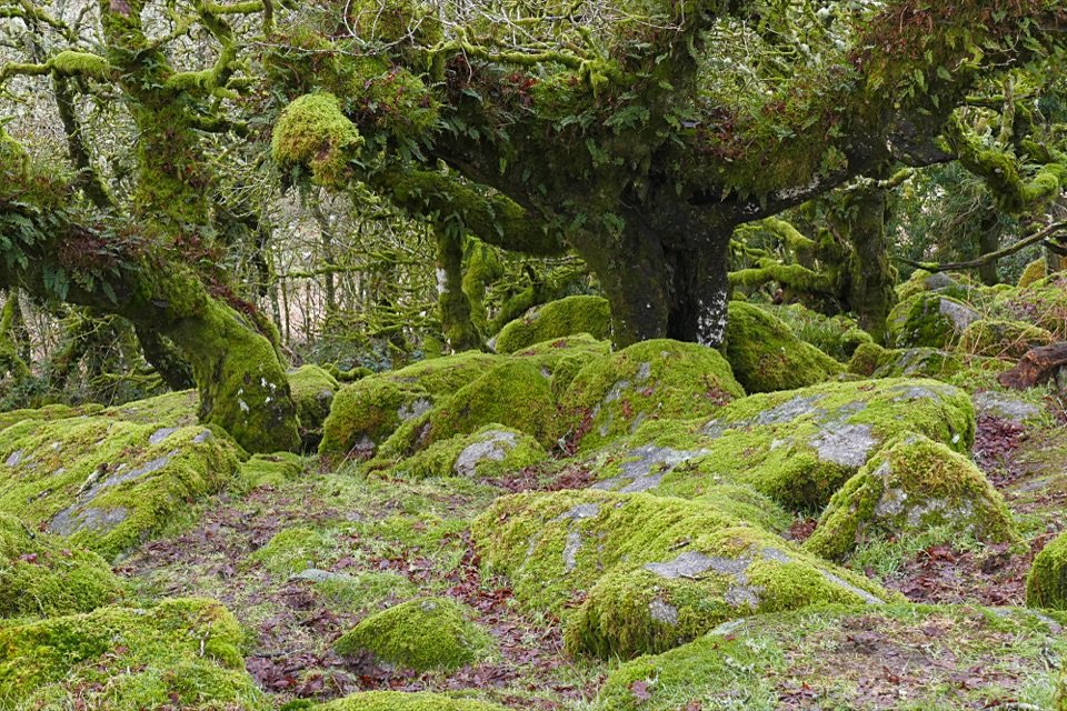 Sight · 4.4 km awayWistman’s WoodTwisted, lichen-covered oaks meet mossy granite boulders.
Parkwolf’s Dartmoor ranking
The audio tour guide for the drive, plus offline maps, trails, and wildlife heatmaps for when the signal drops.




