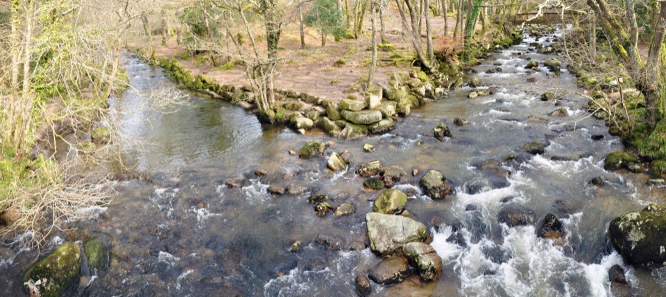
Parking
Start at Wembury – Two Moors Way Car Park, a short walk from the marked coastal access. The one-way finish is in Ivybridge, so plan your return before setting out.
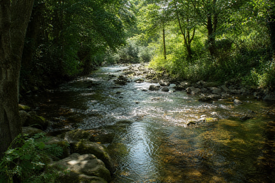
Dartmoor National Park
A gentle 15-mile link from Wembury’s coast to Ivybridge.
Overview
Map & elevation
Plan your hike

The highest, rockiest slopes around here are a summer buffet for grizzly bears.
Dartmoor Tour Guide
Parkwolf is a GPS audio tour guide for Dartmoor National Park. As you drive, it chimes in with what’s ahead: hidden gems, upcoming stops, history, geology, and wildlife, right through your car’s speakers.
“Fantastic app with many points of information… It’s great to just turn on while you’re driving and it gives you an audio tour of the national Park. We love it!!!!”


Trail guide
The Erme-Plym Trail is a 15-mile (24 km) point-to-point walk from Wembury to Ivybridge, the southern leg of Devon’s Coast to Coast. It starts on the South West Coast Path near Wembury, then turns inland through rolling South Hams fields and wooded valleys. Ivybridge is the handoff to the Two Moors Way northbound. The route became part of the coast-to-coast walk in 2005. Allow around seven to eight hours, before a longer stop. The terrain is generally gentle; the distance and one-way logistics are the real commitment. This suits a full walking day, not a quick summit outing.
The South Devon stages follow waymarked footpaths and bridleways, with some minor-road walking. Cofflete Creek, a tributary of the Yealm estuary, is one of the memorable landmarks. Farther on, the route crosses the Yealm and later the Erme. Expect a rural crossing of fields and wooded valleys rather than a constructed path; keep an eye on the waymarkers where the route changes between paths, lanes and fields. Views north toward Dartmoor open up as the coast falls behind.
The route passes Brixton and Yealmpton before turning north through the Erme Valley. Near Ermington, it follows riverside meadows below the village’s crooked church spire. Western Beacon rises above Ivybridge on the final approach, a clear sign you’ve reached Dartmoor’s southern edge. This is a quiet landscape walk through South Devon, with the rivers and changing countryside doing more of the work than a single big viewpoint.
The 15-mile figure is for Wembury to Ivybridge, not a return. The route can be walked in two stages: about 7 miles to Yealmpton and roughly 9 more to Ivybridge; those rounded stage figures do not add neatly to the 15-mile overall estimate. Wembury, Yealmpton and Ivybridge have refreshments, toilets and shops. Buses serve Wembury and the villages, and Ivybridge has rail connections, so check current services before setting out. Dogs are allowed on the public paths; keep them under control and on a lead around livestock. Several sections use minor roads.
Wildlife
 32 sightingsWestern Roe DeerMost seen around 7 AMSighting map
 10 sightingsRed FoxMost seen around 7 PMSighting map
 37 sightingsEuropean RabbitMost seen around 7 AMSighting map
 19 sightingsGrey HeronMost seen around 7 PMSighting map
 34 sightingsGreat Spotted WoodpeckerMost seen around 7 AMSighting map
 20 sightingsCommon RavenMost seen around 8 AMSighting map
Sighting maps show where each species has been reported across Dartmoor. Wildlife moves, so no sighting is guaranteed.
Keep exploring
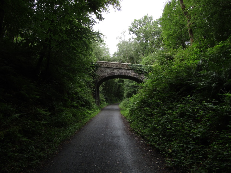 ChallengingDrake’s Trail34.3 km · 9 hr · 7.9 km awayA long shared walk from Plymouth’s waterfront to Tavistock.
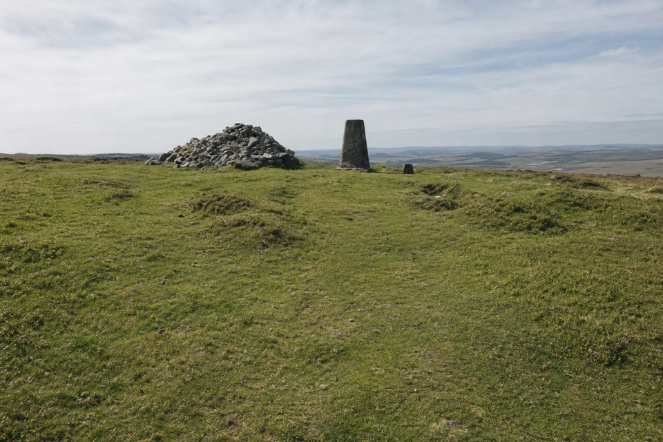 ChallengingTwo Moors Way (Dartmoor section)55.8 km · 17 hr · 14.1 km awayA 34.7-mile crossing from railway moorland to river gorge
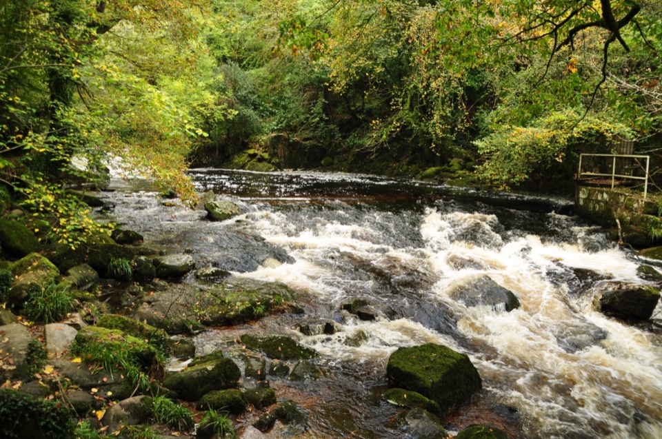 EasyLongtimber Woods Walk2 km · 36 min · 14.4 km awayA gentle riverside path to pools and picnic benches.
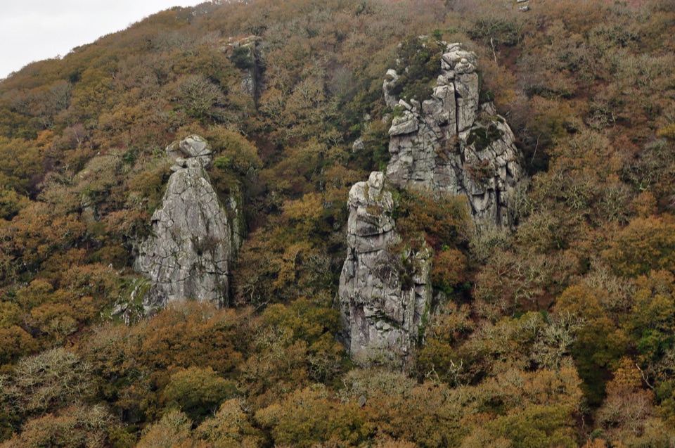 ChallengingCadover Bridge and Dewerstone Rock Circular Walk6.3 km · 2.8 hr · 16.5 km awayA steep river loop that earns its Dewerstone ridge views.
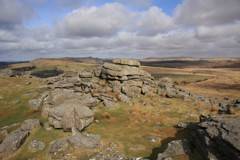 ModerateGutter Tor Walk6.4 km · 2.5 hr · 19.8 km awayA moorland loop for granite tors, warrens, and prehistoric stone rows.
 EasyBurrator Reservoir Circular Walk6.3 km · 1.8 hr · 19.8 km awayTwo dams, a wooded shoreline and a stone bridge in one loop.
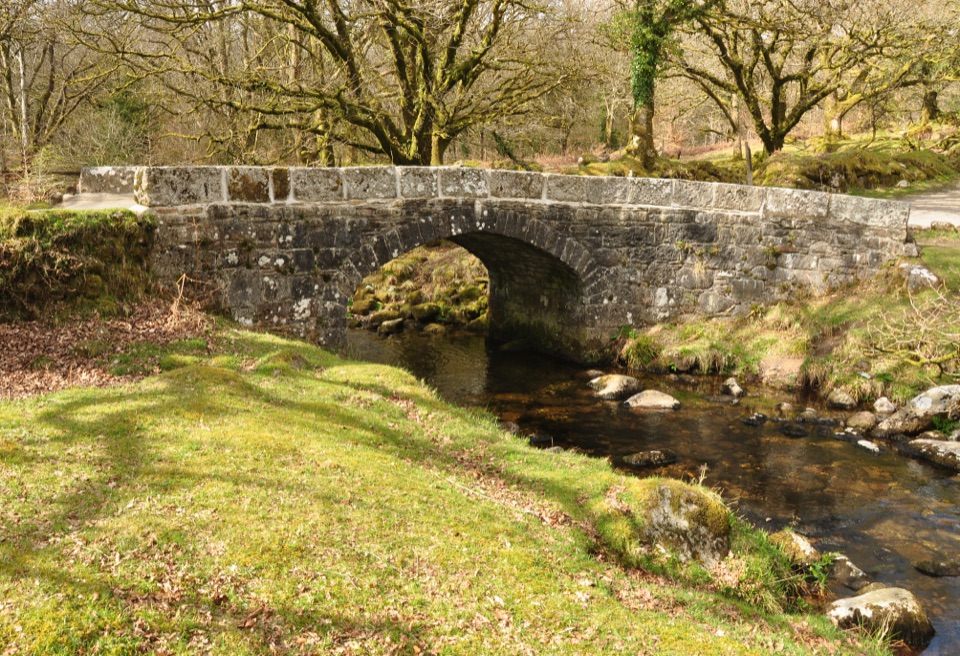 EasyNorsworthy Bridge to Deancombe2.6 km · 1.5 hr · 21.5 km awayA short gravel walk to a ruined farmstead above Narrator Brook.
 EasyShipley Bridge to Avon Dam5.8 km · 1.8 hr · 21.7 km awayA smooth river walk with waterfalls on the way to the dam.
Parkwolf’s Dartmoor ranking

The audio tour guide for the drive, plus offline maps, trails, and wildlife heatmaps for when the signal drops.