Parking
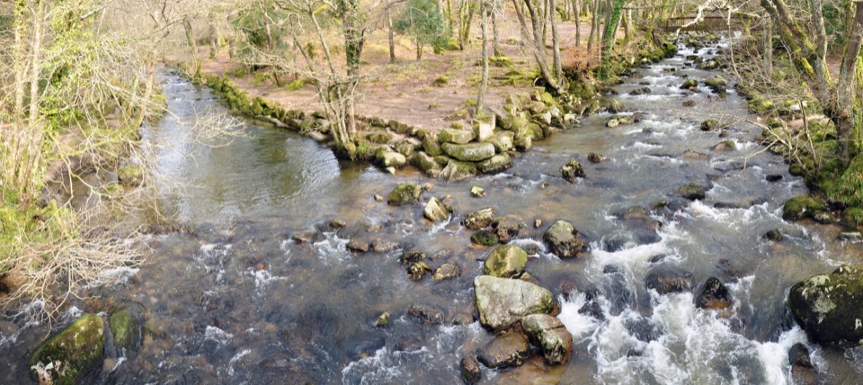
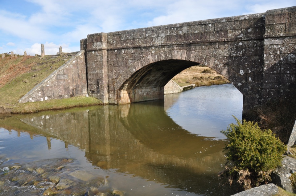
Parking is reported at both ends and at Coypool, Yelverton and Bedford Bridge. Specific endpoint lots, capacity and fees were not verified; arrange return transport before starting this point-to-point route.
Dartmoor National Park
A long shared walk from Plymouth’s waterfront to Tavistock.
Overview
Map & elevation
Plan your hike

The highest, rockiest slopes around here are a summer buffet for grizzly bears.
Dartmoor Tour Guide
Parkwolf is a GPS audio tour guide for Dartmoor National Park. As you drive, it chimes in with what’s ahead: hidden gems, upcoming stops, history, geology, and wildlife, right through your car’s speakers.
“Fantastic app with many points of information… It’s great to just turn on while you’re driving and it gives you an audio tour of the national Park. We love it!!!!”


Trail guide
Drake’s Trail is a 21.3-mile, one-way shared route from Stonehouse in Plymouth to Tavistock. On foot it is a full-day town-to-town walk: waterfront and estuary streets give way to riverside paths and a former railway corridor, then road and rougher track along Dartmoor’s western edge before the River Tavy meadows. It is a regional link along the park’s western side, not an in-park loop.
Allow about nine hours on foot, plus stops, and arrange a ride back before setting out. The three-hour figure attached to the route is for cycling. Distance, rather than a sustained climb, is the main challenge, and you will share paths with cyclists and other walkers. If 21 miles is too much, use an intermediate access point for a shorter out-and-back on the old railway path. Drake’s name connects the ends: Sir Francis Drake was born in Tavistock, and his statue stands at Plymouth Hoe.
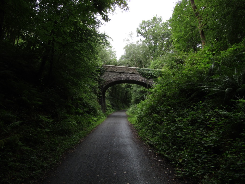
From Stonehouse, the trail skirts Plymouth’s waterfront and the Barbican before crossing the Plym Estuary at Laira Bridge. Saltram’s rolling parkland is an early place to pause. Beyond it, the wooded Plym Valley follows a disused railway past Cann Viaduct and Bickleigh, then through Shaugh Tunnel; its curve leaves the middle dim even when the lights are on. After Clearbrook, expect a short steep, uneven stretch and hillier links toward Yelverton. The route crosses the A386 roundabout there, so take care before leaving the town behind. Farther north, Magpie Viaduct has raised viewpoints and Gem Bridge carries the path above the wooded River Walkham valley. From there, riverside meadows lead into Tavistock. At Gem Bridge, frame the deck and wooded drop together to show why this crossing is a highlight.
The route mixes shared-use, surfaced former railway with local streets and short rougher sections; it is not uniformly smooth or traffic-free. Its visitor information describes use by walkers, cyclists, dog walkers and pushchairs, but specifically warns that the rough section south of Clearbrook is unsuitable for wheelchairs. Dogs are permitted on the shared route; give other users room. Parking is reported at both ends and at Coypool, Yelverton and Bedford Bridge, though the endpoint lots, capacity and fees are not established. Refreshments are available in settlements along the route, including Clearbrook, Yelverton and Horrabridge. The main friction is the Cattedown roads, the A386 crossing, uneven Clearbrook section and dim tunnel.
Wildlife
 32 sightingsWestern Roe DeerMost seen around 7 AMSighting map
 10 sightingsRed FoxMost seen around 7 PMSighting map
 37 sightingsEuropean RabbitMost seen around 7 AMSighting map
 19 sightingsGrey HeronMost seen around 7 PMSighting map
 34 sightingsGreat Spotted WoodpeckerMost seen around 7 AMSighting map
 20 sightingsCommon RavenMost seen around 8 AMSighting map
Sighting maps show where each species has been reported across Dartmoor. Wildlife moves, so no sighting is guaranteed.
Keep exploring
 ModerateErme-Plym Trail: Wembury to Ivybridge24.1 km · 7.5 hr · 7.9 km awayA gentle 15-mile link from Wembury’s coast to Ivybridge.
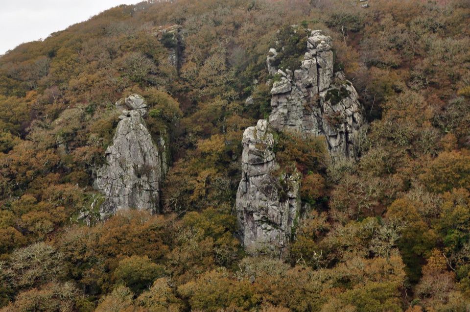 ChallengingCadover Bridge and Dewerstone Rock Circular Walk6.3 km · 2.8 hr · 13.8 km awayA steep river loop that earns its Dewerstone ridge views.
 EasyBurrator Reservoir Circular Walk6.3 km · 1.8 hr · 16.4 km awayTwo dams, a wooded shoreline and a stone bridge in one loop.
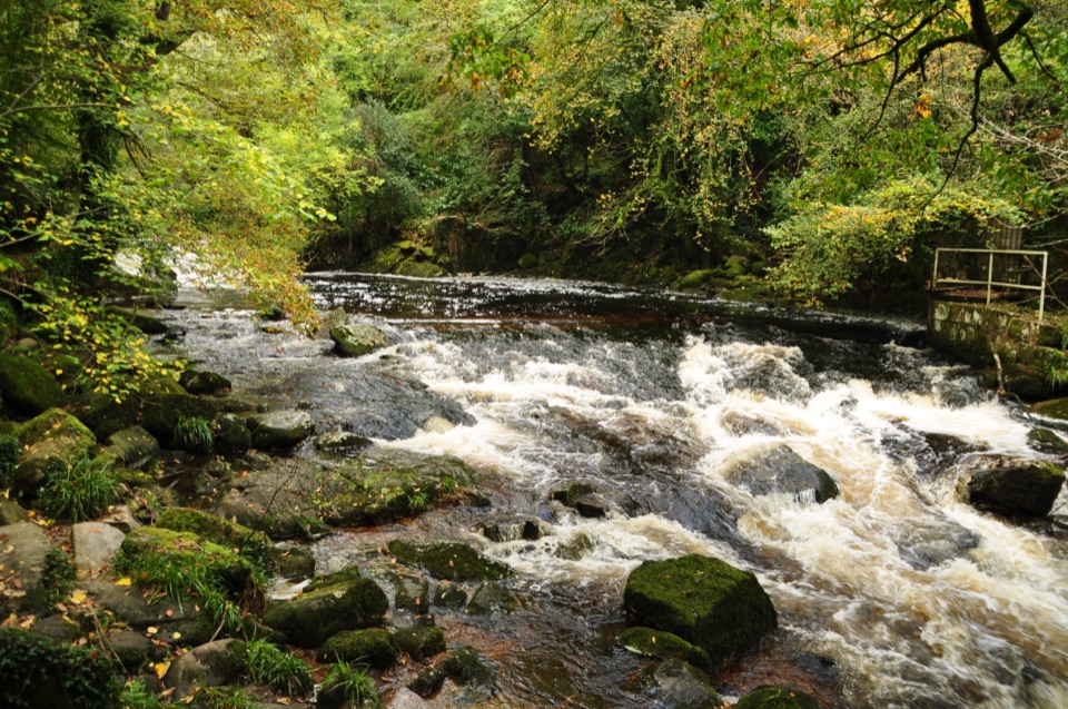 EasyLongtimber Woods Walk2 km · 36 min · 17.4 km awayA gentle riverside path to pools and picnic benches.
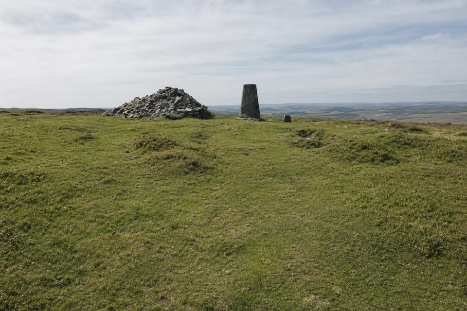 ChallengingTwo Moors Way (Dartmoor section)55.8 km · 17 hr · 17.4 km awayA 34.7-mile crossing from railway moorland to river gorge
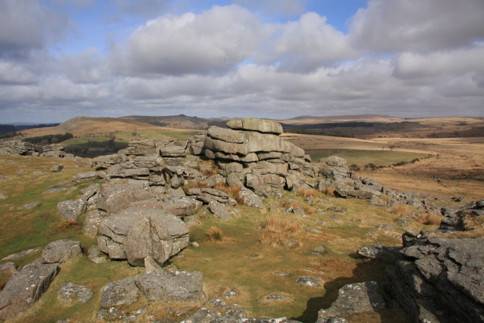 ModerateGutter Tor Walk6.4 km · 2.5 hr · 17.5 km awayA moorland loop for granite tors, warrens, and prehistoric stone rows.
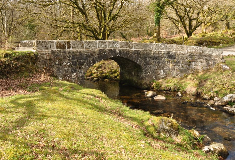 EasyNorsworthy Bridge to Deancombe2.6 km · 1.5 hr · 18.4 km awayA short gravel walk to a ruined farmstead above Narrator Brook.
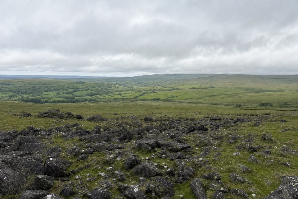 ModerateWhite Tor Walk10.3 km · 3.5 hr · 22.2 km awayA rough moorland loop across three Staple tors to White Tor’s hillfort.
Parkwolf’s Dartmoor ranking

The audio tour guide for the drive, plus offline maps, trails, and wildlife heatmaps for when the signal drops.