Parking
Norsworthy Bridge car park is at the northeast corner of Burrator Reservoir; the route starts from its southeast side.
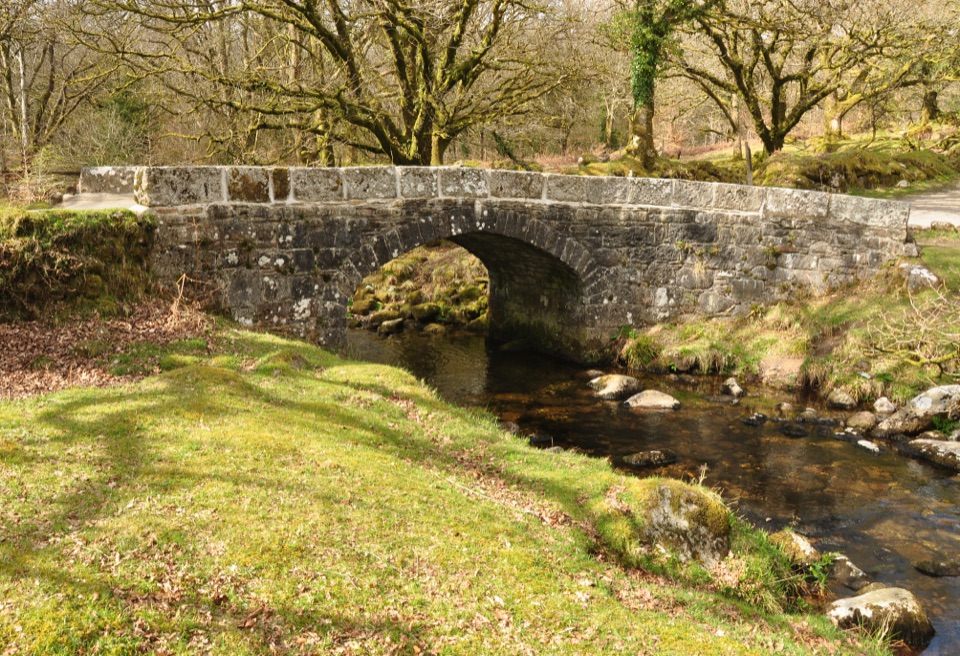
Dartmoor National Park
A short gravel walk to a ruined farmstead above Narrator Brook.
Overview
Map & elevation
Plan your hike

The highest, rockiest slopes around here are a summer buffet for grizzly bears.
Dartmoor Tour Guide
Parkwolf is a GPS audio tour guide for Dartmoor National Park. As you drive, it chimes in with what’s ahead: hidden gems, upcoming stops, history, geology, and wildlife, right through your car’s speakers.
Recorded for this trailhead
Norsworthy Bridge to Deancombe“Up ahead is Norsworthy Bridge, the start of the Deancombe walk above Burrator Reservoir.”
Plays as you drive up to this trailhead in the Parkwolf Dartmoor Tour Guide.
More stories near here in the app
“Fantastic app with many points of information… It’s great to just turn on while you’re driving and it gives you an audio tour of the national Park. We love it!!!!”


Trail guide
Norsworthy Bridge to Deancombe is a 1.6-mile out-and-back (2.6 km round trip) on an old farm track above Burrator Reservoir. Starting at Norsworthy Bridge car park, it follows the track to the deserted Deancombe farmstead and returns the same way. Allow about 1½ hours for the full walk. For a shorter outing, the accessible picnic table about 300 metres from the start makes a turnaround of roughly 0.4 mile round trip.
Leaving the southeast corner of the car park, the track climbs steeply at first, then eases and levels out at a grassy farm area. The continuation runs about 1 km farther to Deancombe. Its wide gravel surface and slopes make it manageable for many visitors, but the opening climb is a real effort; the published access grade is category 2/3, “For Many.” The old track once served the farmstead higher in the valley. Old beech and oak trees and views down into Narrator Brook Valley give the longer stretch its character. In spring, you may hear cuckoos over the open land and woodpeckers among the trees.
Use Norsworthy Bridge car park at the northeast corner of Burrator Reservoir; the route starts from its southeast side. Public toilets are at Burrator Dam and the Discovery Centre, away from the trailhead. Dogs are allowed; keep them under close control on rights of way and put them on a lead if livestock are near. Mobile phone reception is unavailable around the reservoir.
Wildlife
 32 sightingsWestern Roe DeerMost seen around 7 AMSighting map
 10 sightingsRed FoxMost seen around 7 PMSighting map
 37 sightingsEuropean RabbitMost seen around 7 AMSighting map
 19 sightingsGrey HeronMost seen around 7 PMSighting map
 34 sightingsGreat Spotted WoodpeckerMost seen around 7 AMSighting map
 20 sightingsCommon RavenMost seen around 8 AMSighting map
Sighting maps show where each species has been reported across Dartmoor. Wildlife moves, so no sighting is guaranteed.
Keep exploring
 EasyBurrator Reservoir Circular Walk6.3 km · 1.8 hr · 2.2 km awayTwo dams, a wooded shoreline and a stone bridge in one loop.
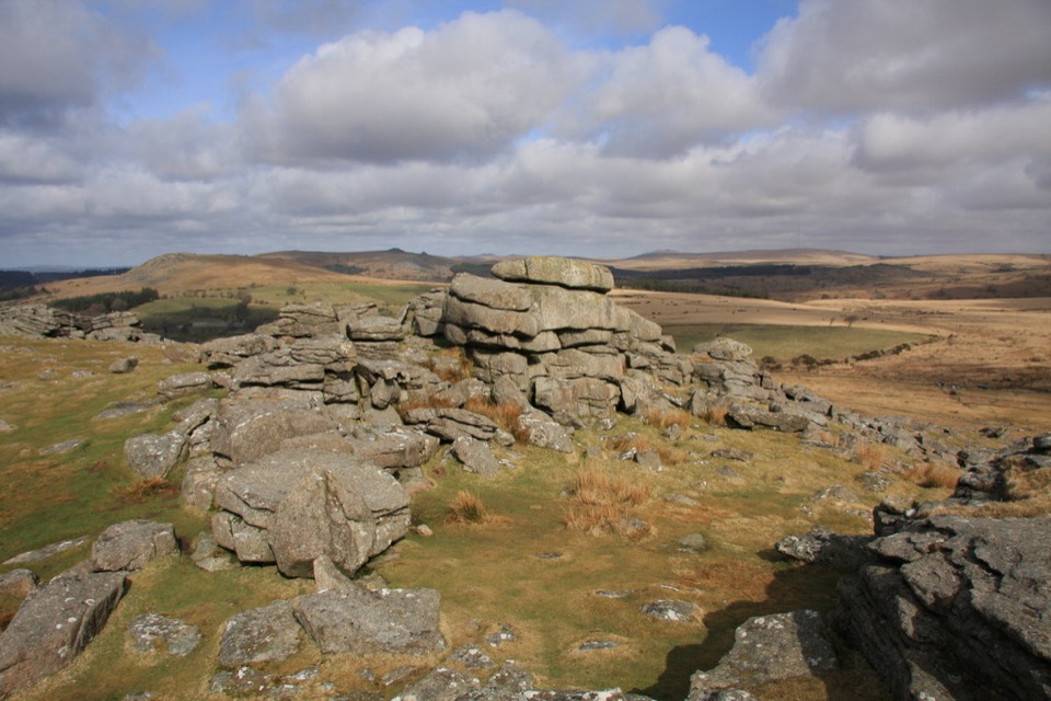 ModerateGutter Tor Walk6.4 km · 2.5 hr · 2.2 km awayA moorland loop for granite tors, warrens, and prehistoric stone rows.
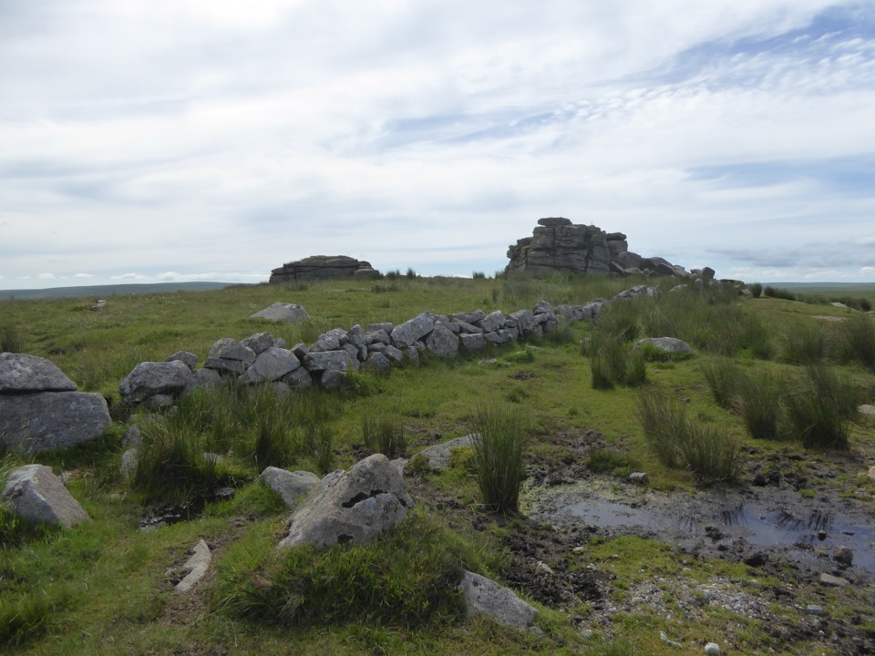 EasyPrincetown Walk to South Hessary Tor3 km · 1 hr · 4.6 km awayA gentle moorland walk to a granite tor above Princetown.
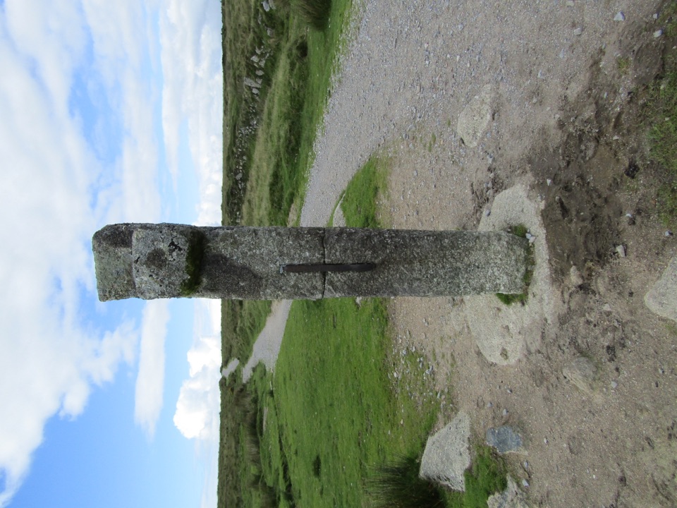 ModeratePrincetown to Nun’s Cross Walk8 km · 2.3 hr · 4.6 km awayA gravel track across open moor to a wayside cross.
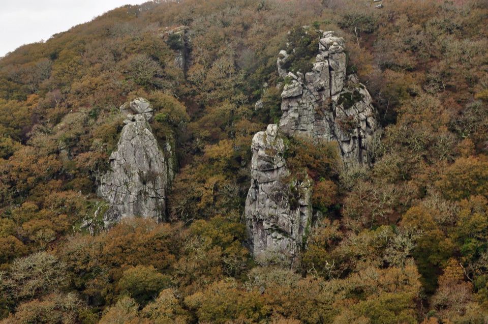 ChallengingCadover Bridge and Dewerstone Rock Circular Walk6.3 km · 2.8 hr · 5 km awayA steep river loop that earns its Dewerstone ridge views.
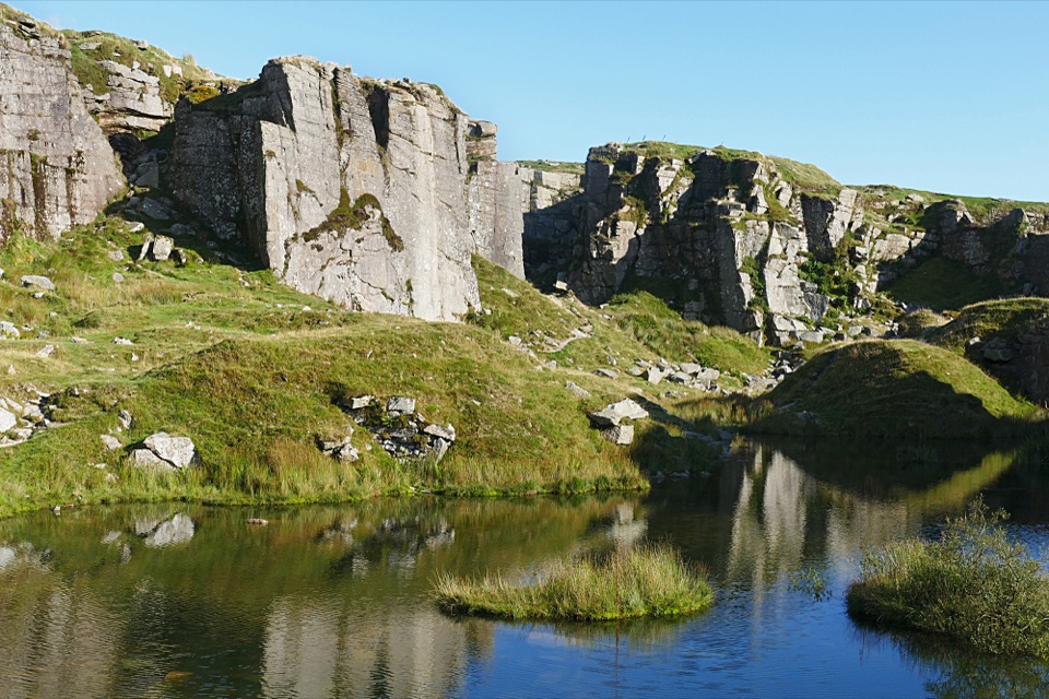 EasyFoggintor Quarry Walk2.9 km · 1 hr · 5.7 km awayMoorland track leads to still water beneath towering quarry walls.
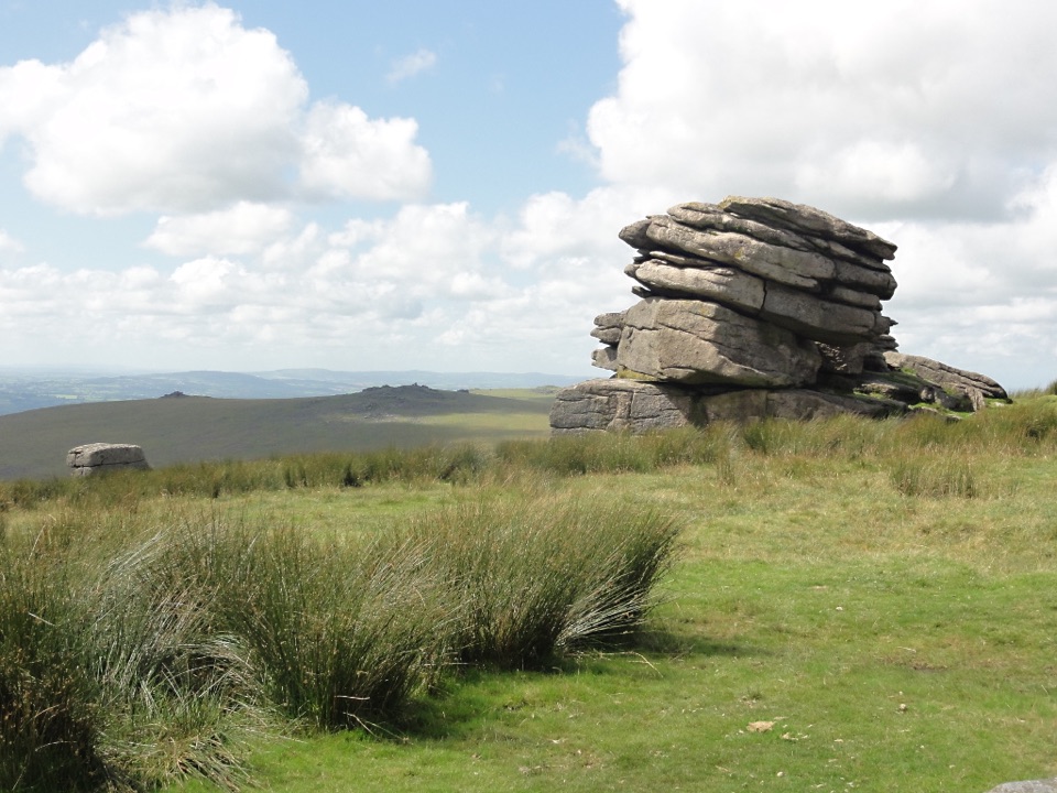 ModerateLittle Mis Tor and Great Mis Tor Walk4.8 km · 1.8 hr · 5.7 km awayTwo tors, a stone track, and a rocky summit above open moor.
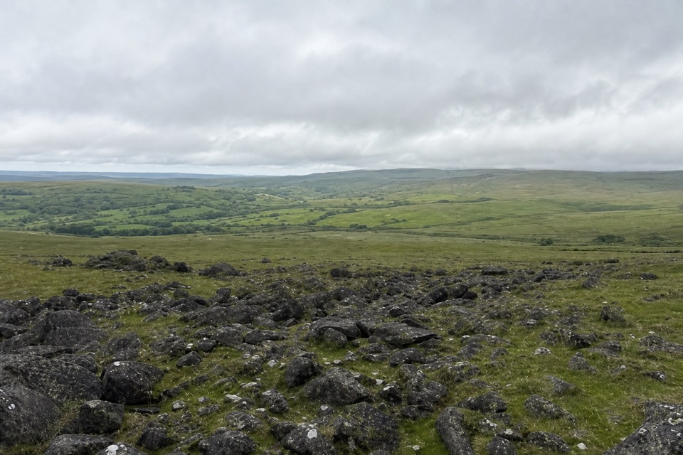 ModerateWhite Tor Walk10.3 km · 3.5 hr · 6.7 km awayA rough moorland loop across three Staple tors to White Tor’s hillfort.
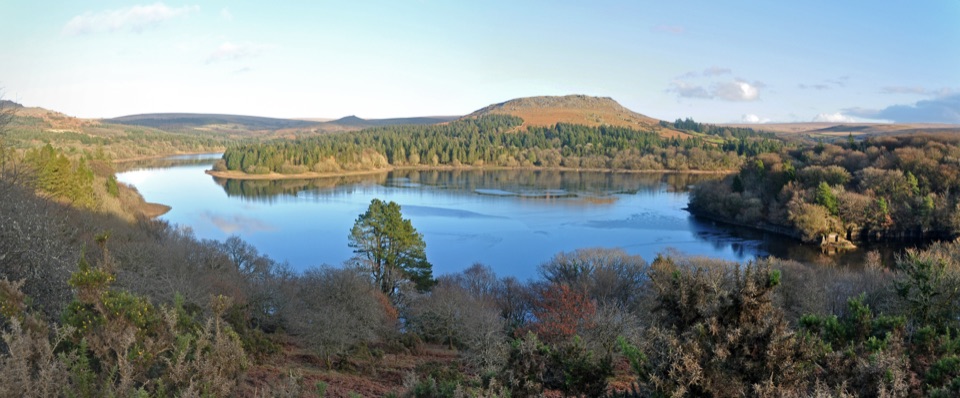 Sight · 1.9 km awayBurrator ReservoirA gentle circuit below moorland tors and wooded shores.
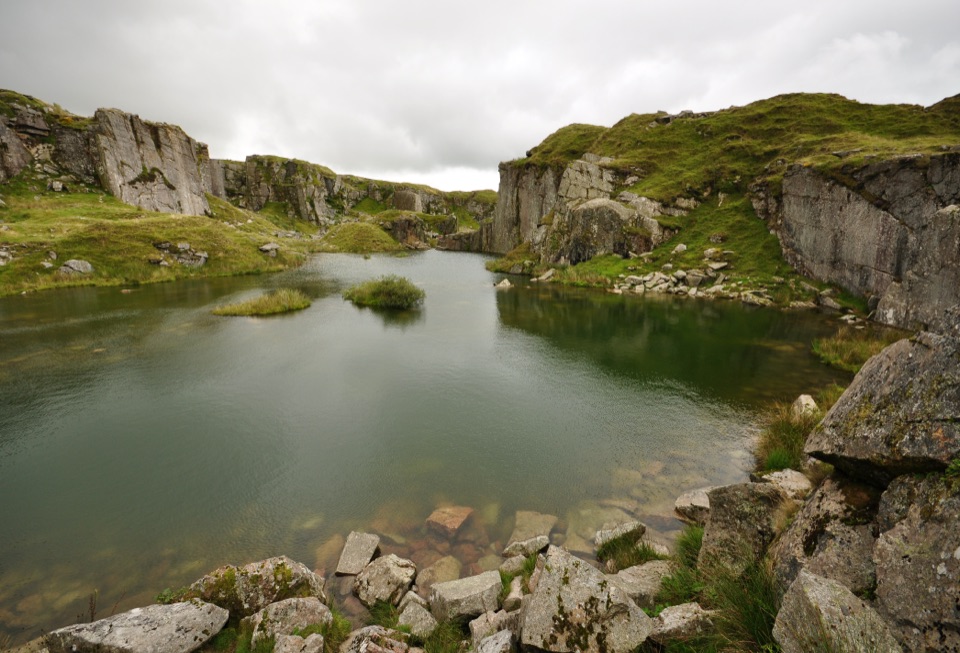 Sight · 4.3 km awayFoggintor QuarryA flooded granite pit wrapped in towering cut-stone walls.
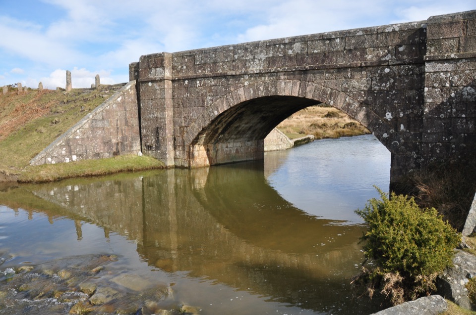 Sight · 4.9 km awayCadover BridgeA riverside bridge that opens onto a longer moorland walk
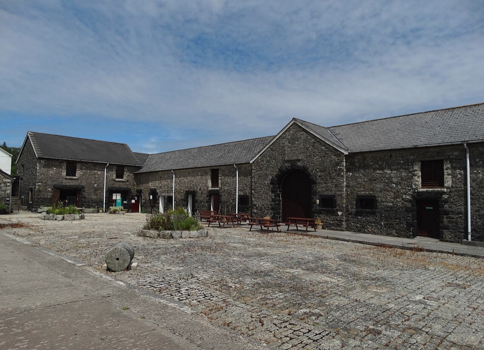 Sight · 5.1 km awayDartmoor Prison MuseumObjects and cell displays bring Dartmoor’s prison history close.
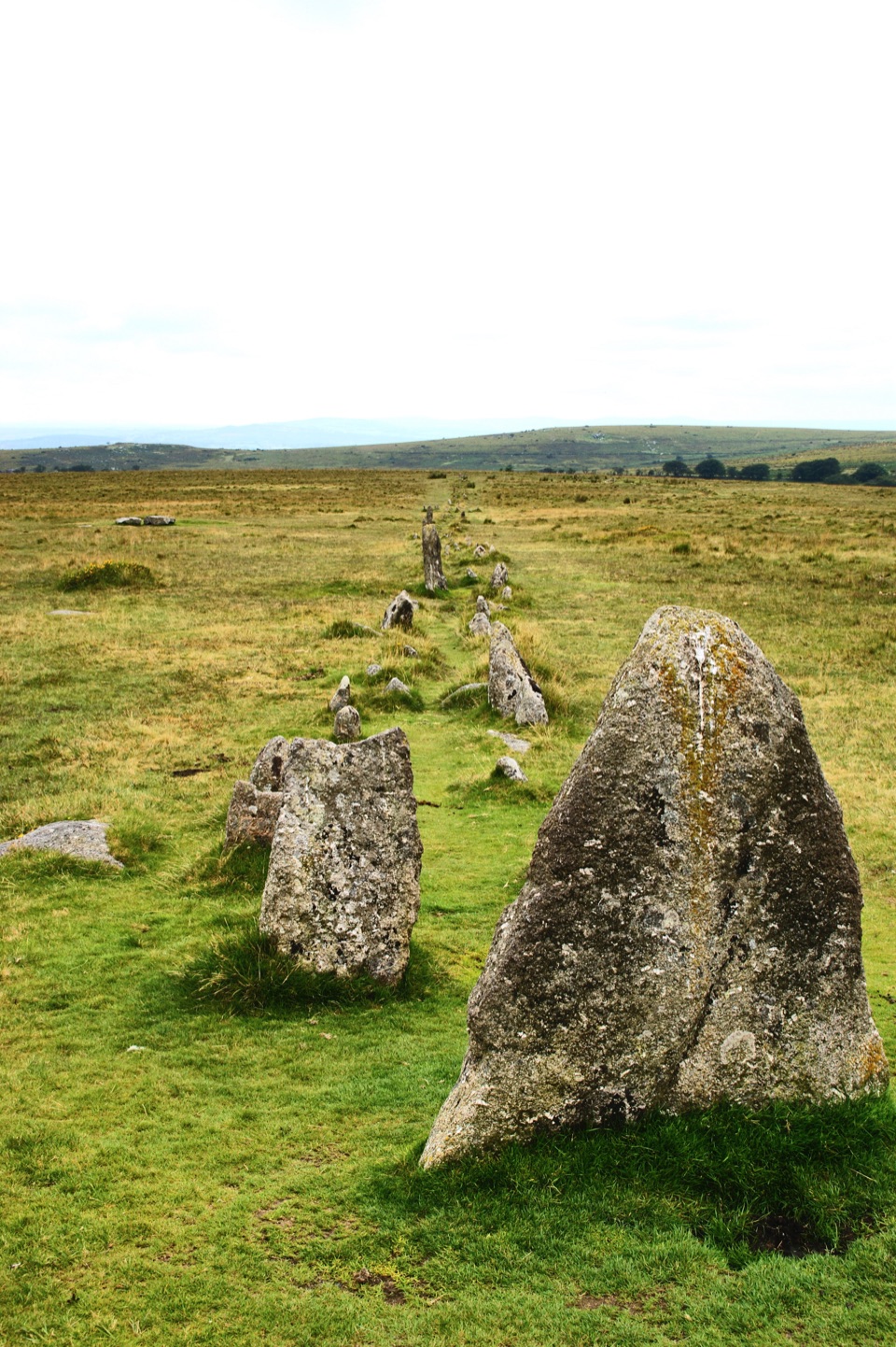 Sight · 5.6 km awayMerrivale Prehistoric SettlementLong stone rows and dozens of Bronze Age house sites to explore.
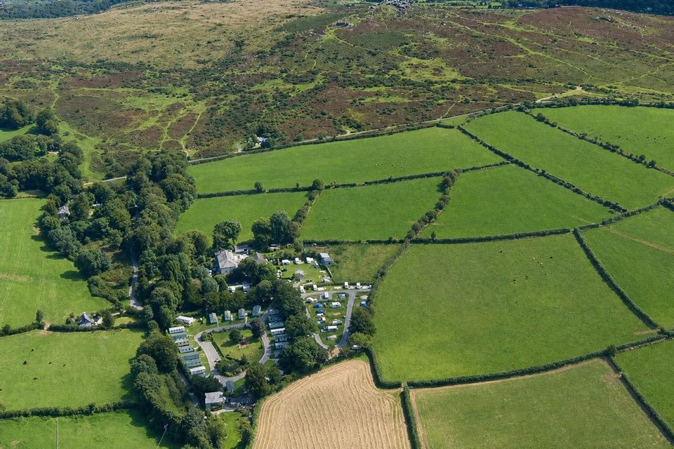 Campground · 6.3 km awayLangstone Manor Holiday ParkForty touring pitches and a manor-house restaurant on Dartmoor’s edge.
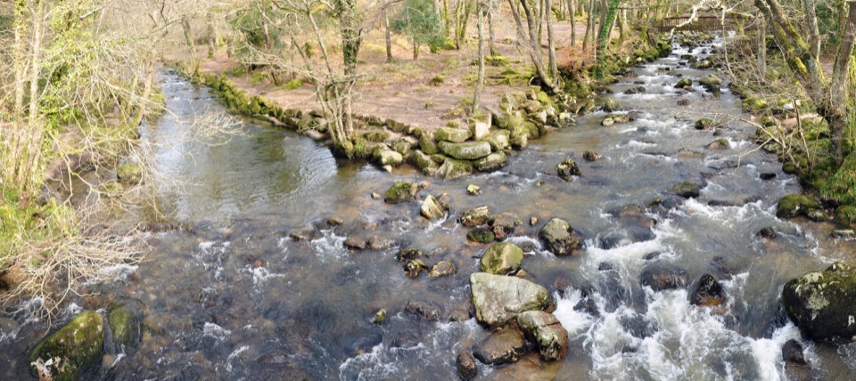 Sight · 6.7 km awayShaugh BridgeTwo rivers meet below granite crags and old workings.
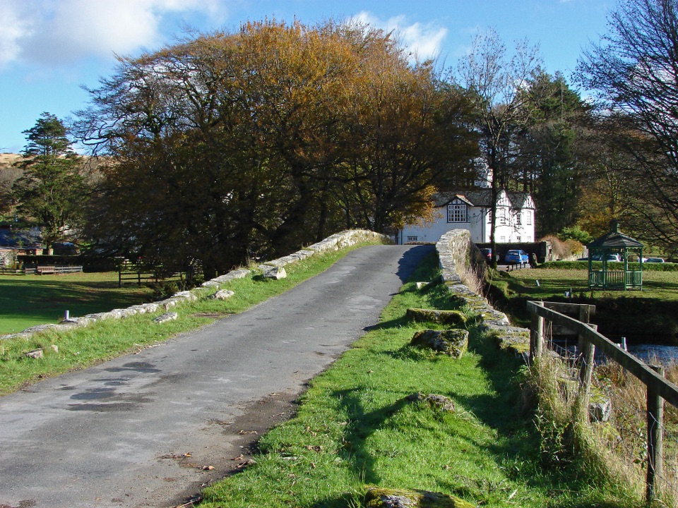 Lodging · 7 km awayTwo Bridges HotelA historic riverside inn and useful base for Wistman's Wood.
Parkwolf’s Dartmoor ranking

The audio tour guide for the drive, plus offline maps, trails, and wildlife heatmaps for when the signal drops.




