Parking
This is a point-to-point route from Ivybridge to Drewsteignton; arrange transport between separate start and finish points. Parking details at either end were not verified in the consulted route sources.
Dartmoor National Park
A 34.7-mile crossing from railway moorland to river gorge
Overview
Map & elevation
Plan your hike

The highest, rockiest slopes around here are a summer buffet for grizzly bears.
Dartmoor Tour Guide
Parkwolf is a GPS audio tour guide for Dartmoor National Park. As you drive, it chimes in with what’s ahead: hidden gems, upcoming stops, history, geology, and wildlife, right through your car’s speakers.
Recorded for this area
The Pool Before D-Day“The old swimming pool in Longtimber Woods has a wartime story. Men from the American 116th Infantry Regiment trained here while they were based in Ivybridge before D-Day.”
Plays on the road 1 km from the trailhead in the Parkwolf Dartmoor Tour Guide.
More stories near here in the app
“Fantastic app with many points of information… It’s great to just turn on while you’re driving and it gives you an audio tour of the national Park. We love it!!!!”


Trail guide
This is the 34.7-mile, one-way Dartmoor section of the Two Moors Way, from the Ivybridge route marker north to Drewsteignton. It is a point-to-point crossing, not a loop; the wider Ivybridge–Lynmouth trail continues beyond this mapped section. The line divides naturally into four walking stages. Allow about 17 hours on foot in total and plan separate transport and overnight stops; the 13-mile opening stage is the most testing.
Leaving Ivybridge, the route follows the former Redlake Railway for six miles across open, bare moorland before dropping toward Holne. It crosses the River Avon on a 19th-century clapper bridge and passes Huntingdon Warren, where rabbits were farmed from the mid-13th century until the 1950s. The opening miles are bare and exposed before the route descends to its first village at Holne.
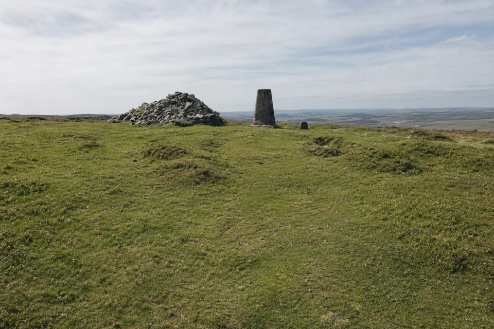
From Holne, a wooded descent reaches New Bridge over the Dart. The route climbs onto Dr Blackall’s Drive, high above the Dart Valley, then descends along the West Webburn toward Hameldown’s open ridge. North of it, the low cairn and upright marker on Hameldown stand out on the open ridge, a good spot to take in the moorland before the path turns toward Chagford. The path skirts Grimspound, crosses the road at Bennett’s Cross, a 13th-century boundary marker, and passes the long stone row on Hurston Ridge. Field paths and woodland tracks lead by old farmsteads to Chagford Bridge. Chagford is about a mile away for food or a bed; Widecombe is another village detour. Neither diversion is part of the mapped line.
The final four-mile stretch follows the River Teign below Castle Drogo, then climbs to the rim of Teign Gorge before ending at Drewsteignton. The Castle Drogo café requires a detour from the route. Much of the wider way is marked, but the open moorland sections are not signed and the weather can change quickly; carry a map and compass and be ready to navigate. Dogs are allowed on the public rights of way; keep them under close control and put them on a lead near livestock.
Wildlife
 32 sightingsWestern Roe DeerMost seen around 7 AMSighting map
 10 sightingsRed FoxMost seen around 7 PMSighting map
 37 sightingsEuropean RabbitMost seen around 7 AMSighting map
 19 sightingsGrey HeronMost seen around 7 PMSighting map
 34 sightingsGreat Spotted WoodpeckerMost seen around 7 AMSighting map
 20 sightingsCommon RavenMost seen around 8 AMSighting map
Sighting maps show where each species has been reported across Dartmoor. Wildlife moves, so no sighting is guaranteed.
Keep exploring
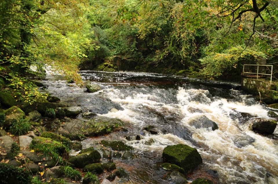 EasyLongtimber Woods Walk2 km · 36 min · 0.6 km awayA gentle riverside path to pools and picnic benches.
 EasyShipley Bridge to Avon Dam5.8 km · 1.8 hr · 8 km awayA smooth river walk with waterfalls on the way to the dam.
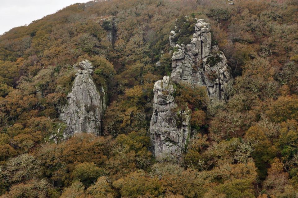 ChallengingCadover Bridge and Dewerstone Rock Circular Walk6.3 km · 2.8 hr · 11.6 km awayA steep river loop that earns its Dewerstone ridge views.
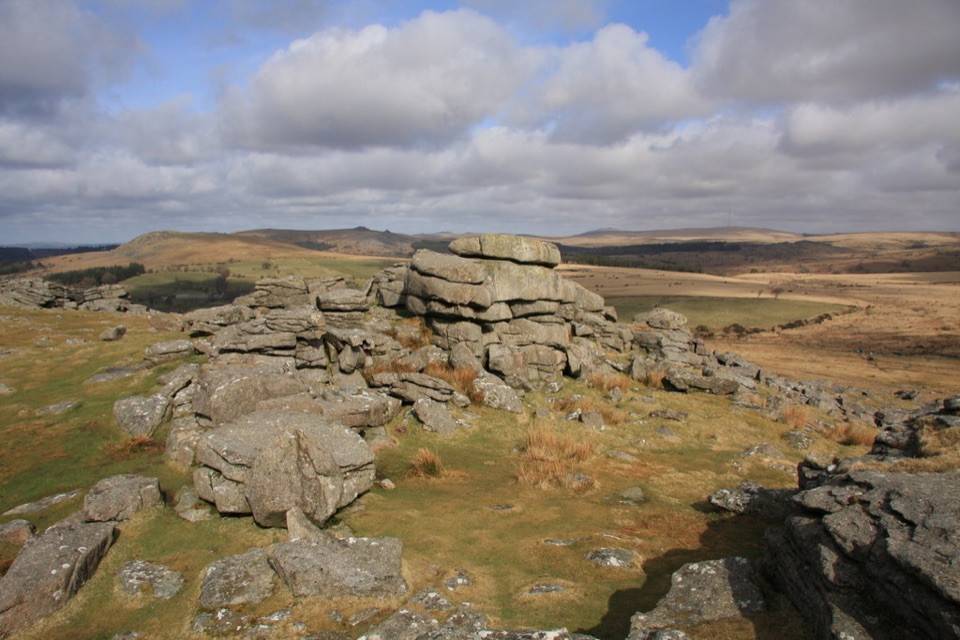 ModerateGutter Tor Walk6.4 km · 2.5 hr · 12.5 km awayA moorland loop for granite tors, warrens, and prehistoric stone rows.
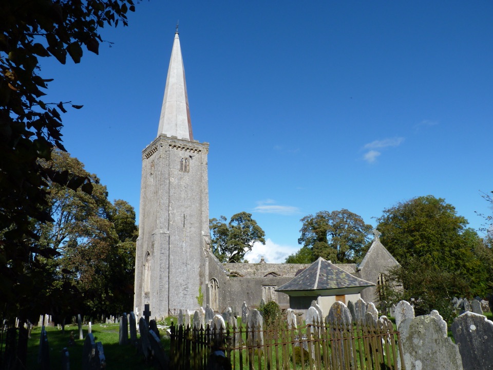 ModerateBuckfastleigh Walk5.8 km · 3.5 hr · 14.1 km awayA long stairway links Lower Town with Holy Trinity above Buckfastleigh.
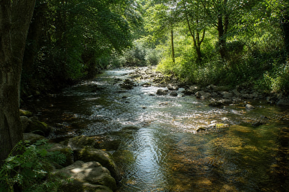 ModerateErme-Plym Trail: Wembury to Ivybridge24.1 km · 7.5 hr · 14.1 km awayA gentle 15-mile link from Wembury’s coast to Ivybridge.
 EasyBurrator Reservoir Circular Walk6.3 km · 1.8 hr · 14.5 km awayTwo dams, a wooded shoreline and a stone bridge in one loop.
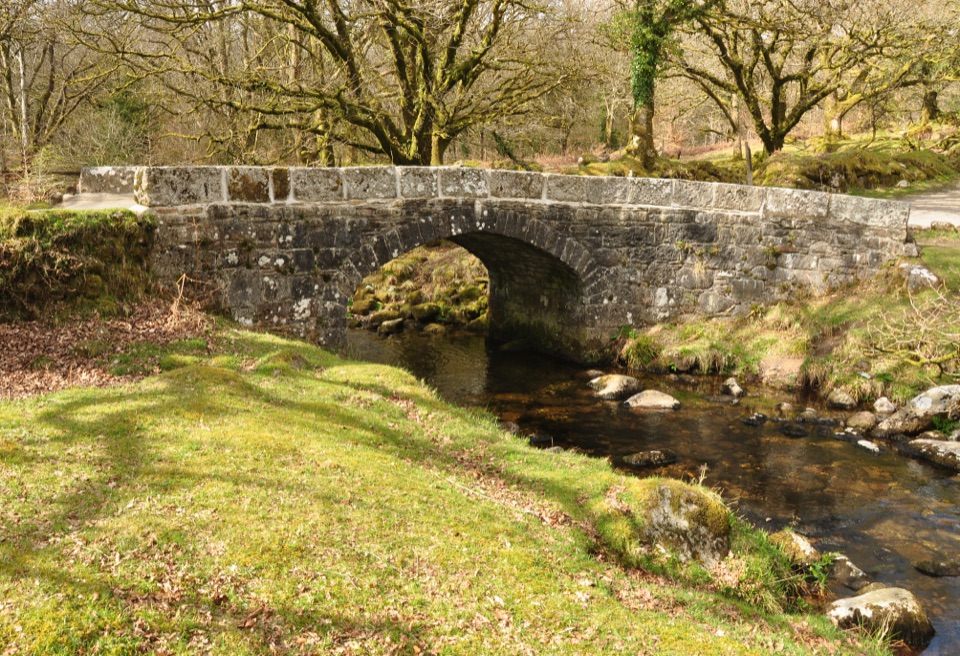 EasyNorsworthy Bridge to Deancombe2.6 km · 1.5 hr · 14.7 km awayA short gravel walk to a ruined farmstead above Narrator Brook.
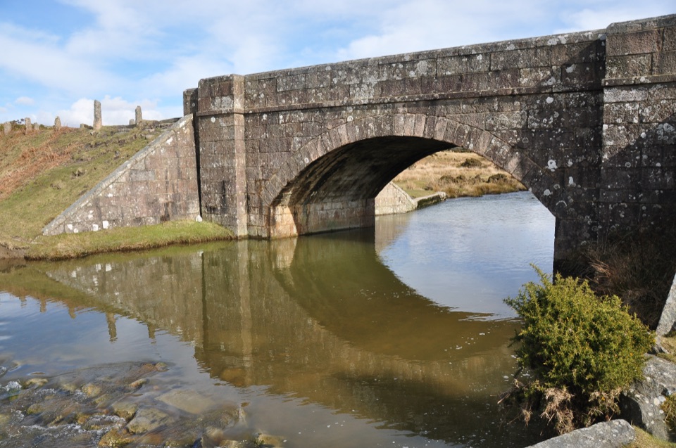 Sight · 11.6 km awayCadover BridgeA riverside bridge that opens onto a longer moorland walk
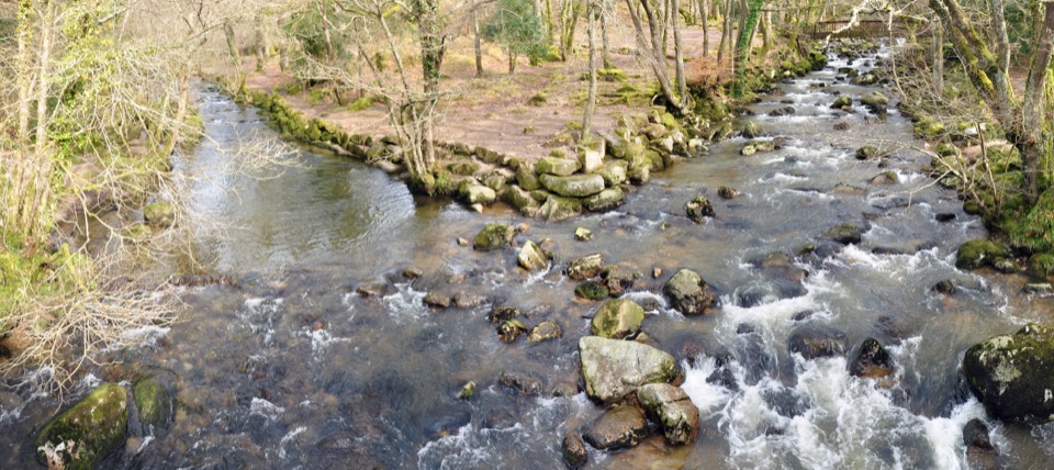 Sight · 12.7 km awayShaugh BridgeTwo rivers meet below granite crags and old workings.
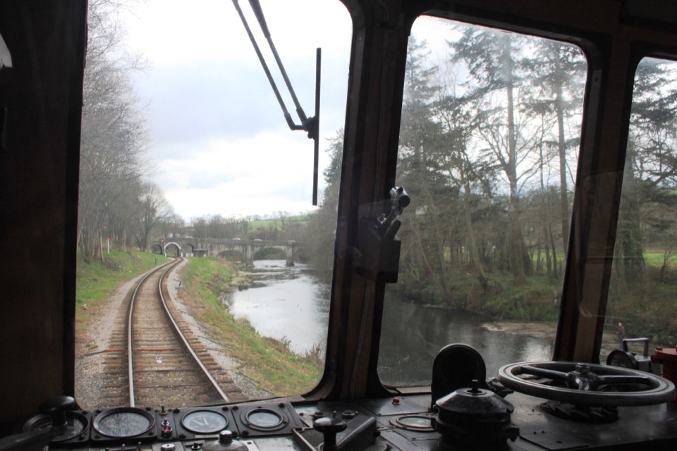 Sight · 14.8 km awaySouth Devon RailwaySteam, small stations and a river valley make a full-day outing.
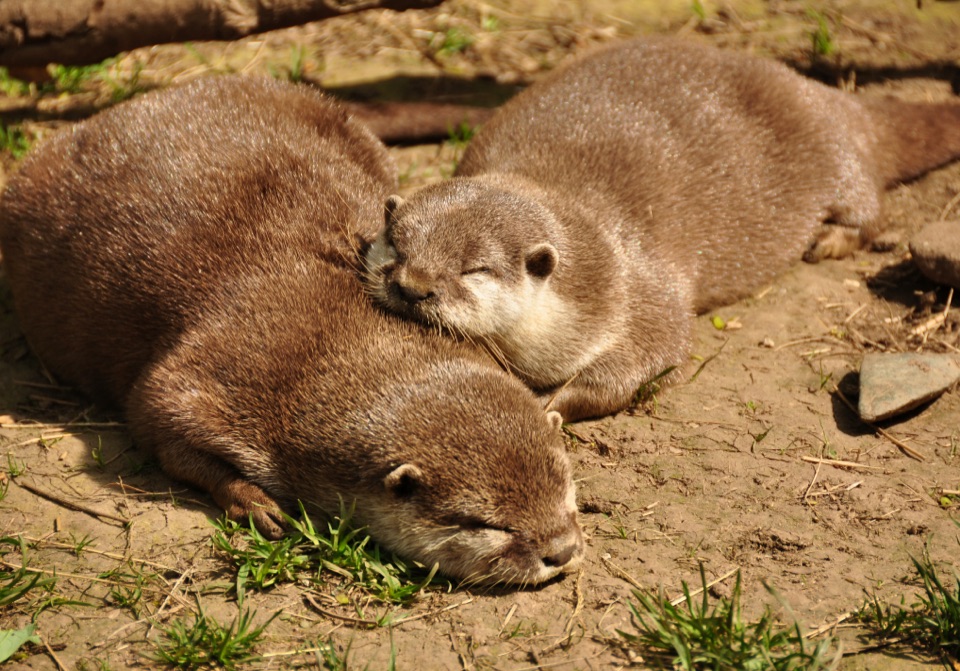 Sight · 14.8 km awayBuckfast Butterfly Farm and Dartmoor Otter SanctuaryButterflies fly free; watch otters swim through the underwater window.
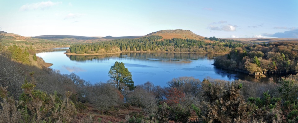 Sight · 14.9 km awayBurrator ReservoirA gentle circuit below moorland tors and wooded shores.
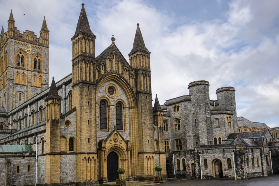 Sight · 15.3 km awayBuckfast AbbeyA working monastery with a vivid glass chapel and gardens.
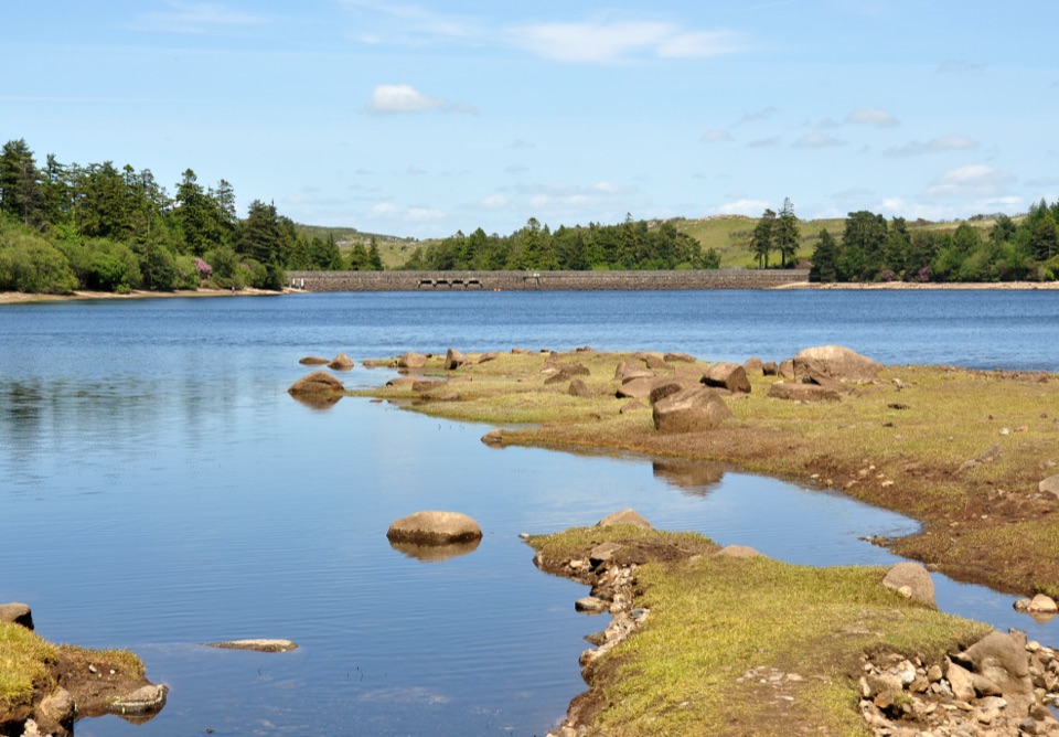 Sight · 15.8 km awayVenford ReservoirA short waterside loop with a longer moorland and gorge walk
Parkwolf’s Dartmoor ranking

The audio tour guide for the drive, plus offline maps, trails, and wildlife heatmaps for when the signal drops.



