Parking
Small, limited roadside parking area on the north side of Daylight Pass Road near the unmarked trailhead at approximately 36.73458, -116.97209; no facilities at the start.

Death Valley National Park, CA · NV
Unmarked 7.2-mile desert summit route with loose scrambling and wide-open views
Overview
Corkscrew Peak is a difficult, unmarked desert summit route in the Grapevine Mountains. From the small parking area on the north side of Daylight Pass Road, this out-and-back covers about 7.2 miles round trip and 3,141 feet of elevation gain, taking roughly 5–6 hours. There is no designated trail: expect cross-country travel, route-finding, loose footing, and easy scrambling.
Map & elevation
Plan your hike

The highest, rockiest slopes around here are a summer buffet for grizzly bears.
Death Valley Tour Guide
Parkwolf is a GPS audio tour guide for Death Valley National Park. As you drive, it chimes in with what’s ahead: hidden gems, upcoming stops, history, geology, and wildlife, right through your car’s speakers.
See the Death Valley audio tourRecorded for this area
Hells Gate: Your First Big Death Valley View“Just ahead is Hells Gate, a high roadside viewpoint that offers one of the first big, sweeping panoramas of Death Valley.”
Plays on the road 0.8 mi from the trailhead in the Parkwolf Death Valley Tour Guide.
More stories near here in the app
“Fantastic app with many points of information… It’s great to just turn on while you’re driving and it gives you an audio tour of the national Park. We love it!!!!”


Trail guide
The route leaves the unmarked roadside trailhead and follows a faint, cairned desert approach before entering the wash and gaining the ridge. The upper route climbs steeply over loose gravel and rocky bands to Corkscrew Peak at 5,804 feet. A natural rock window just below the summit is a notable landmark, and the top has broad views across Death Valley, the salt flats, and surrounding mountain ranges.
This is a strenuous, route-finding hike rather than a maintained trail. Cairns and social paths can be intermittent, and the desert terrain includes steep sections, loose “marbles,” and light Class 2 scrambling. Descending the loose upper slopes can be slower and more difficult than ascending. Carry a map or saved track, and do not continue into a drainage or canyon unless it is clearly part of the intended route.
The trailhead is an unmarked pullout along Daylight Pass Road at approximately 36.73458, -116.97209; parking is small and limited, with no facilities at the start. There is no water or shade on the route. The hike is an out-and-back and returns by the same physical corridor. Plan for cool-season conditions and carry ample water; summer heat can be dangerous. Standard park entrance requirements apply, and pets are not allowed on park trails.
Wildlife
 71 sightingsBighorn SheepMost seen around 6 PMSighting map
 101 sightingsDesert TortoiseMost seen around 8 AMSighting map
 458 sightingsCoyoteMost seen around 6 PMSighting map
 28 sightingsFeral BurroMost seen around 5 PMSighting map
 30 sightingsMule DeerMost seen around 7 PMSighting map
 62 sightingsKit FoxMost seen around 7 PMSighting map
Sighting maps show where each species has been reported across Death Valley. Wildlife moves, so no sighting is guaranteed.
Keep exploring
 ChallengingDeath Valley Buttes3 mi · 3.5 hr · 1.2 mi awayUnmarked ridge scramble to wide Death Valley views and an exposed high summit.
 ChallengingKeane Wonder Mine Trail2.9 mi · 3 hr · 5.7 mi awaySteep climb through mining relics to huge Death Valley views
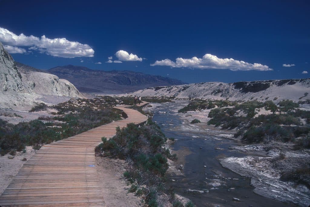 EasySalt Creek Interpretive Trail0.8 mi · 30 min · 10 mi awayAn easy, flat boardwalk loop through Salt Creek’s rare desert wetland and pupfish habitat.
 EasyMesquite Flat Sand Dunes2 mi · 1.5 hr · 11.9 mi awayCross-country dunes to Death Valley’s tallest dune, with wide-open sunrise and sunset views.
 ChallengingGrotto Canyon3.4 mi · 4.5 hr · 12.5 mi awayUnmarked desert-canyon scramble through polished narrows to a high chokestone
 EasyTitus Canyon Narrows3 mi · 1.5 hr · 12.7 mi awayEasy desert walk into Titus Canyon’s narrowest limestone walls.
 ModerateFall Canyon Trail6.1 mi · 3.5 hr · 12.7 mi awayRemote, unmaintained out-and-back into colorful Fall Canyon narrows from the Titus Canyon trailhead.
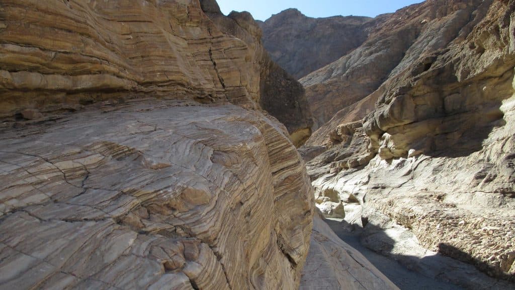 ModerateMosaic Canyon4 mi · 2.8 hr · 14.8 mi awayA full out-and-back through polished marble narrows, Mosaic Breccia, and dryfall terrain
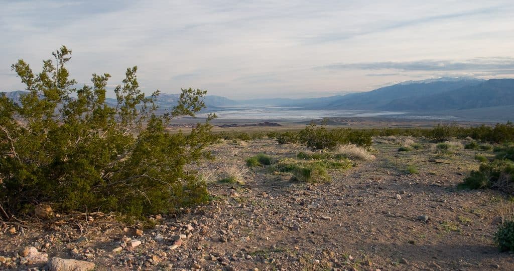 Scenic pullout · 0.8 mi awayHells GateA high roadside perch with your first sweeping valley panorama
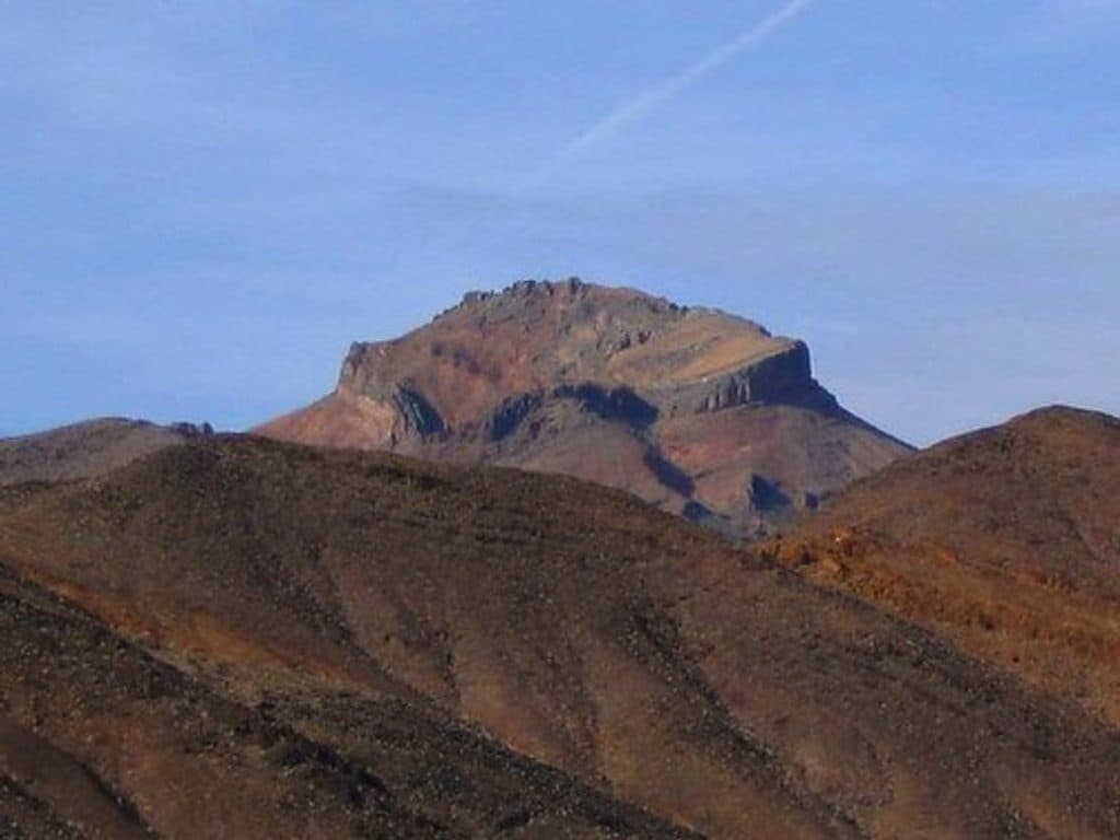 Sight · 3 mi awayCorkscrew PeakA steep, off-trail climb to a signature summit with big views
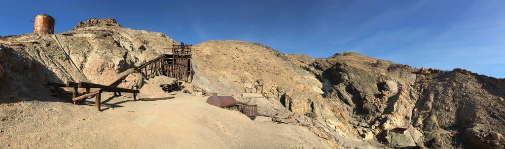 Sight · 5.4 mi awayKeane Wonder MineHistoric gold mine with a rare aerial tramway and big valley views
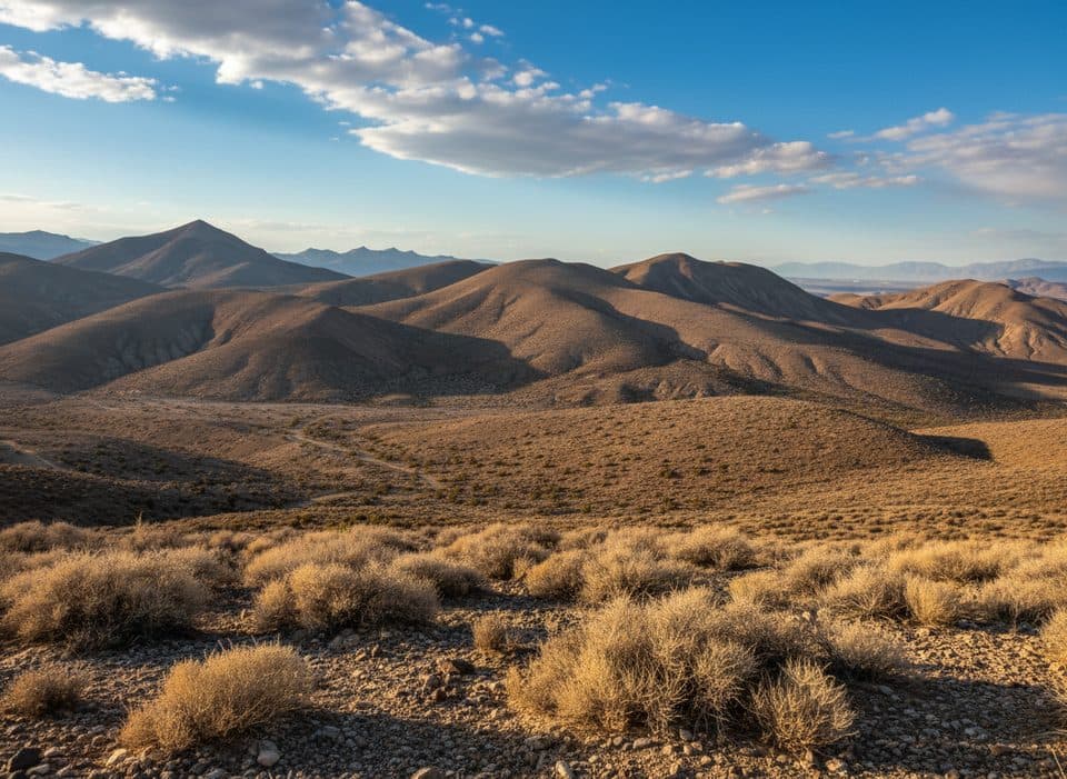 Sight · 5.5 mi awayChloride CityRugged ghost town ruins with huge views near Chloride Cliff
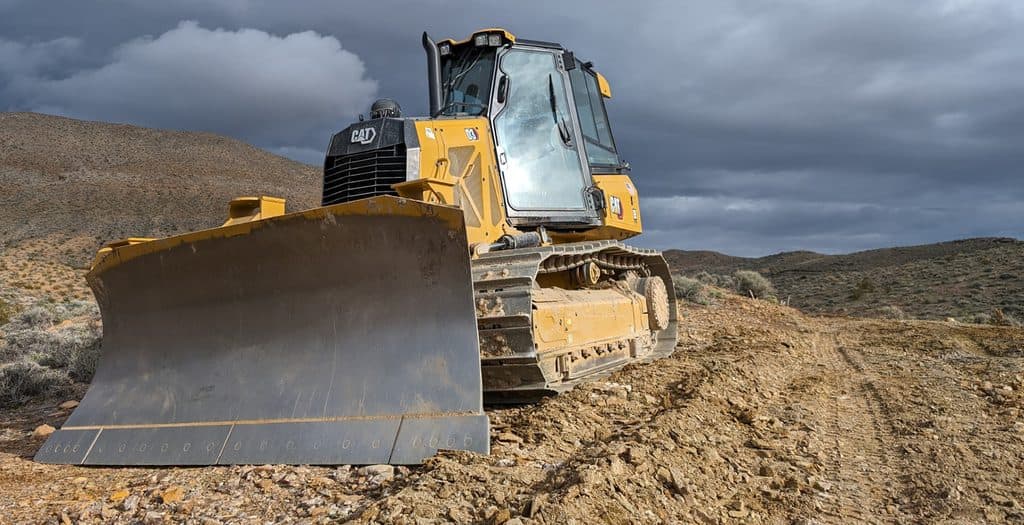 Sight · 5.8 mi awayChloride CliffRemote cliff‑top panorama with ghost town relics and big-drop drama
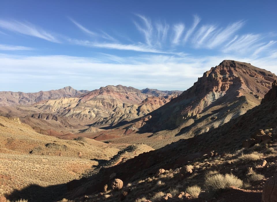 Scenic pullout · 7.4 mi awayRed Pass OverlookHigh, narrow pass of red rock with big Titus Canyon views
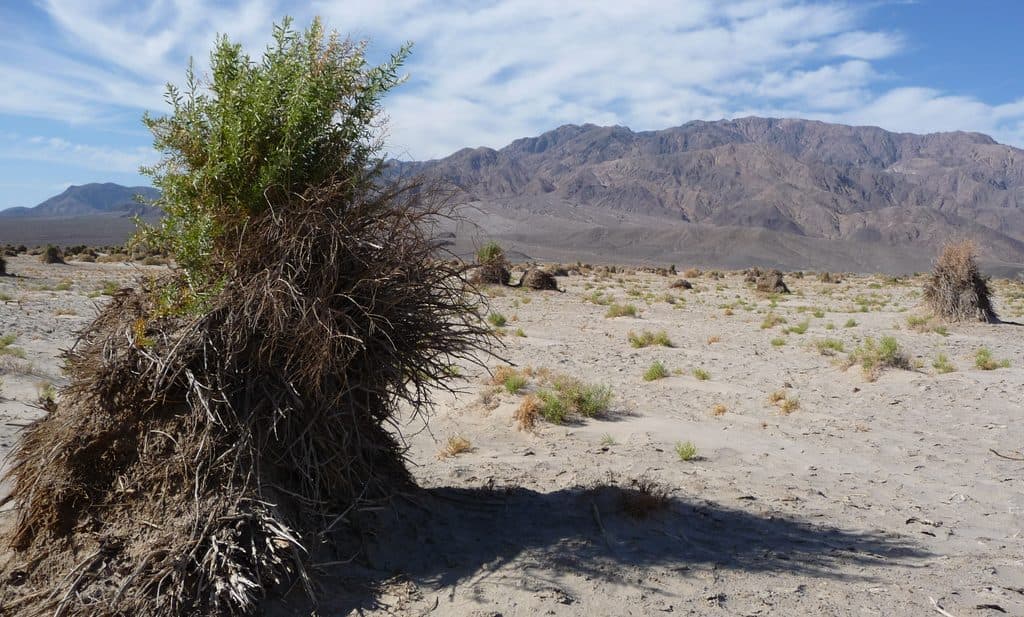 Scenic pullout · 8.9 mi awayDevil's CornfieldQuirky arrowweed mounds that look like shocks of corn
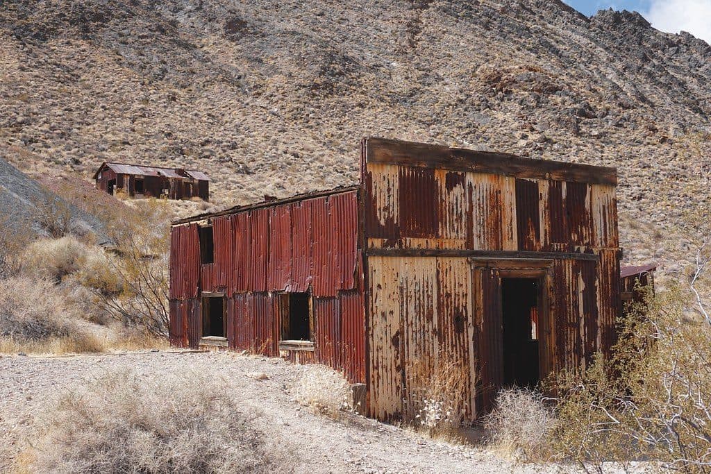 Sight · 9.2 mi awayLeadfield Ghost TownPhotogenic 1920s mining-scam ruins along Titus Canyon
Parkwolf’s Death Valley ranking

The audio tour guide for the drive, plus offline maps, trails, and wildlife heatmaps for when the signal drops.