Challenging

Death Valley Buttes

Short, scrambly ridge to huge Death Valley panoramas.
Death Valley Buttes, Death Valley National Park
Distance4 mi
Typical time2.5 hr
DifficultyChallenging
PetsNot allowed

Overview

A compact adventure with outsized views, the Death Valley Buttes route climbs straight from Daylight Pass Road near Hell’s Gate to a string of airy summits. Plan on roughly 4.0 miles total out-and-back with about 900–1,000 feet of gain. It’s short, steep, and rugged—more a use-path and ridge scramble than a maintained trail.

What the hike is like

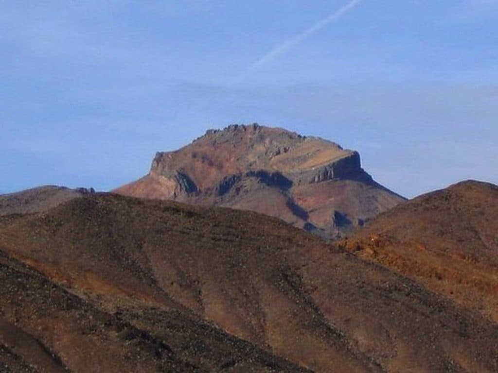
From roadside parking by Hell’s Gate/Daylight Pass Road, you’ll cross open desert wash with sparse vegetation before the route tilts up a steep use-trail toward the east (lower) butte. Many hikers tag this lower top for excellent views, then decide whether to continue. Reaching the true high point—the west butte (Red Top BM, around 3,026 feet)—means descending to a saddle and tackling a short, exposed traverse with class 2–3 scrambling. The final ledge is airy with consequential drop-offs. If you’re not comfortable with exposure, turn around at the lower summit—you’ll still get a great day out.

Scenery

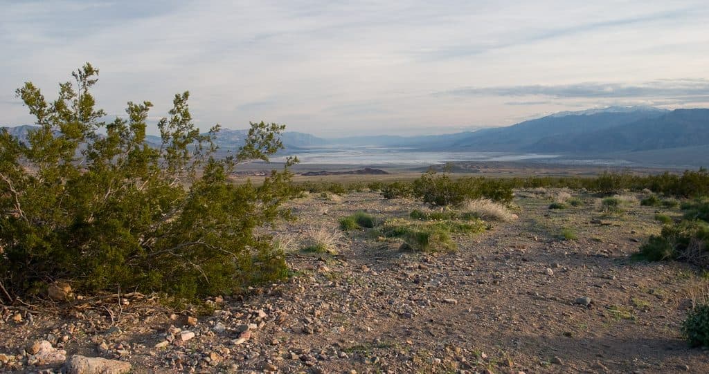
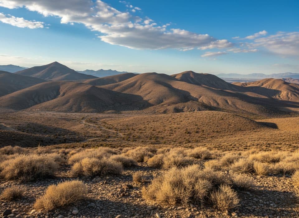
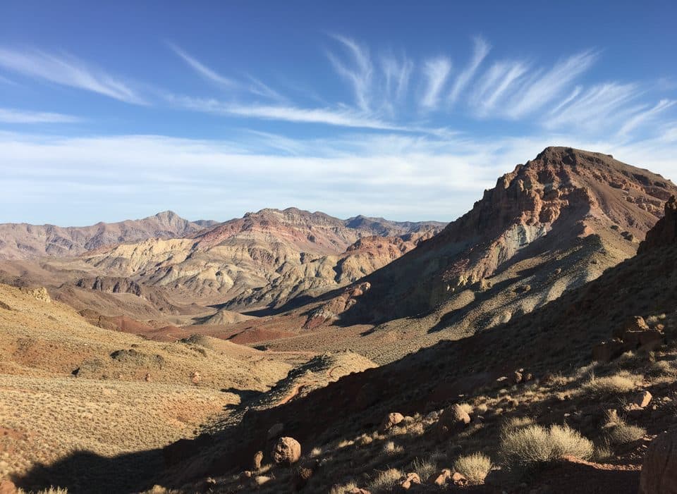
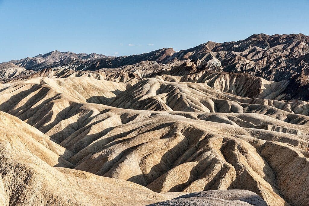
This ridge dishes out big, 360-degree desert vistas: the full sweep of Death Valley below, Mesquite Flat Dunes, and standout peaks like Corkscrew Peak and Thimble. On clear days you can pick out distant ranges across the valley. It’s photogenic all the way, especially with low-angle light.

Geology and plants

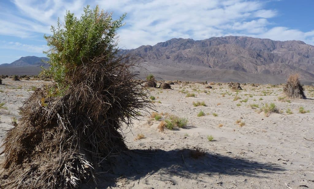
The buttes are weathered desert ridges with loose, rocky footing underfoot—expect some ball-bearing pebbles on the descents. Keep an eye out for classic Mojave flora: creosote, bursage, buckwheat, Ephedra, and cacti like beavertail and cholla. Pygmy cedar appears higher up in spots.

Best time to hike

Go in fall, winter, or early spring. This route is fully exposed—no shade, no water—and summer heat here is dangerous. Start early to beat both temperatures and glare. Sunset light can be spectacular, but give yourself plenty of buffer to descend before dark.

Who will love it (and who won’t)

If you like solitude, big views for moderate mileage, and a dash of scrambling, this is a gem. If exposure gives you the heebie-jeebies or you want a signed, groomed path, this won’t be your day. The lower butte makes a great, safer turnaround with nearly all the scenery and none of the summit ledge jitters.

Tips

  • Footwear with real bite matters—the slopes are loose.
  • Bring ample water and sun protection; there’s zero shade and no water sources.
  • The route is unmarked. A GPS track or map and clear weather make it straightforward.
  • No pets on this route per park rules. No permit needed for day hiking.

Logistics

Park at Hell’s Gate or a nearby roadside pullout on Daylight Pass Road at the base of the buttes. The hike is out-and-back; the mileage above is total for the round trip.

Pros

  • Lower east butte offers big views without committing to the exposed summit traverse
  • Often uncrowded—you may have the ridge and summit to yourself

Cons

  • Short, exposed class 3 section to the true summit with real consequences
  • Unmarked, loose route where careful footwork and route-finding are required

Parking

Park at Hell’s Gate viewpoint or at a roadside pullout along Daylight Pass Road near the base of the buttes.

Caution

Fully exposed ridge with steep, loose footing and an airy ledge to the true summit; no shade or water; extreme heat outside cool months; unmarked route—turn around at the lower butte if exposure or scrambling feels sketchy.

The Parkwolf tour guide sitting on a phone mounted in a car

Parkwolf Tour Guide

Like a tour guide in your car.

Bring Death Valley trail research into the car, with offline maps and stories that play as you drive.Download Parkwolf on the App Store