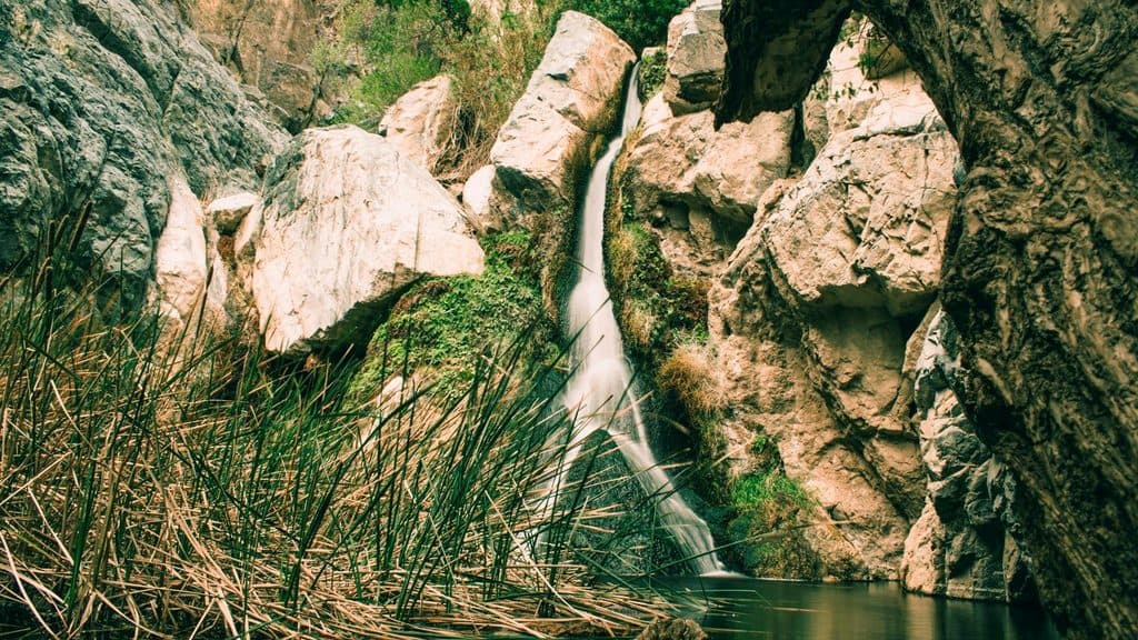
Darwin Falls in Death Valley National Park

Sight · Death Valley National Park

Darwin Falls

A shady, year-round oasis waterfall near Panamint Springs

Photo: National Park Service
Type
Sight
Nearest trail
0.7 mi
Audio stories
1 nearby
  • Trailhead
  • Parking
  • #19 of 74 sights

Hear the audio tour

Rock Varnish: Nature’s Slow-Motion Paint

Overview

About Darwin Falls

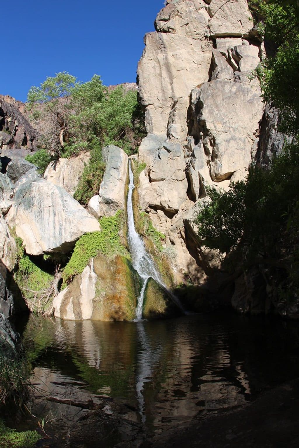
If you want a hard left turn from Death Valley’s dry, open landscapes, this is it. Darwin Falls is a rare, spring-fed oasis tucked in a narrow canyon near Panamint Springs. The main cascade is about 18 feet, pouring into a ferny grotto that feels worlds away from the desert.

Why stop

  • Year-round, spring-fed waterfall and lush oasis
  • Short, rewarding ~2-mile round-trip hike

Heads up

  • Rough dirt access road with limited parking
  • No swimming due to drinking water source
Water actually flows here all year. That perennial stream supports cattails, ferns, and a pocket of shade-loving plants that simply don’t exist elsewhere in the park’s open basins. It’s a genuine “hidden oasis” moment and a great photo stop.
Parkwolf’s verdictWhy It’s Special

Map

Where it is

Loading the Death Valley map
Full map
SightDarwin Falls36.32074, -117.52446
Keep this map with you offline in the Parkwolf app

Local know-how

Tips for visiting Darwin Falls

  1. Drive the dirt access road slowly; conditions can be rocky or muddy.

  2. Wear sturdy shoes for stream crossings and minor scrambling.

  3. Arrive early to beat heat and snag one of the limited parking spots.

  4. Do not swim or wade—the pool is a protected drinking water source.

  5. Stay on the established route and don’t block the service gate at the trailhead.

Plan your stop

Before you go

Best time to visit

The falls flow year-round. Spring and fall bring ideal hiking temperatures; summer can be brutally hot even with partial shade in the canyon. Mornings typically offer cooler temps and softer light, and the small parking area is easier to snag earlier in the day.

Logistics & Rules

  • Access is via a rough dirt road to a small, unpaved trailhead—most cars make it with care, but conditions vary. Parking is limited and there’s a service gate nearby; don’t block it.
  • No facilities at the trailhead (no restrooms, no water). Pack everything you need in and out.
  • No swimming or wading. This water supplies the nearby community; entering the pool risks contamination. Stay on the established route to protect this fragile habitat.

3 active Death Valley alerts

  • ClosurePark roads closed or hazardousMentions this placePlan around multiple closed roads and use extra caution on damaged routes. - Paved roads: North Highway and Beatty Cut-off are closed due to flooding and debris from the October 22 storm.Official details
  • ClosureSaline Valley Lower Springs closed after wildfireLower Springs at Saline Valley Warm Springs remains closed after the September 15 wildfire; stay out because the fire left safety hazards, including potential hazardous chemicals.Official details
See all 3 alerts
A park ranger sits on a dash-mounted phone, talking, as Parkwolf’s Tour Guide plays “Army Cutworm Moths: A Grizzly Bear Buffet” on Grand Loop Road below Dunraven Pass in Yellowstone
Parkwolf Tour GuideThe highest, rockiest slopes around here are a summer buffet for grizzly bears.

Death Valley Tour Guide

Your drive to Darwin Falls, narrated.

Parkwolf is a GPS audio tour guide for Death Valley National Park. As you drive, it chimes in with what’s ahead: hidden gems, upcoming stops, history, geology, and wildlife, right through your car’s speakers.

See the Death Valley audio tour

Recorded for this area

Rock Varnish: Nature’s Slow-Motion Paint
Listen
“See those dark, glossy streaks staining the canyon walls? That's not paint; it's desert varnish, a thin coating built over thousands of years.”

Plays on the road 1.8 mi from Darwin Falls in the Parkwolf Death Valley Tour Guide.

More stories near here in the app

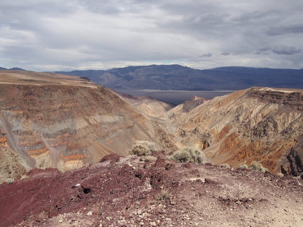
  • Father Crowley Vista and Rainbow Canyon
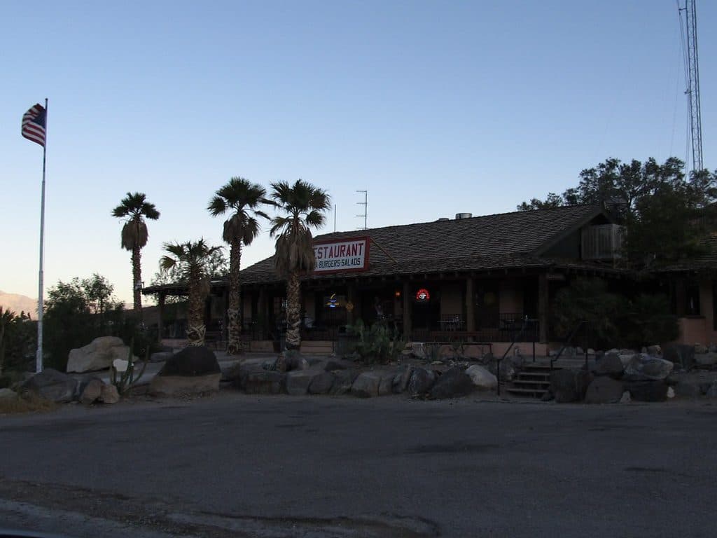
  • Panamint Springs: A Remote Desert Outpost
  • 130 audio storiesacross Death Valley’s roads, triggered by GPS as you drive
  • Wildlife heatmapsfor Bighorn Sheep, Desert Tortoise, Coyote, and 13 more
  • Works offlinemaps, 36 trails, 114 places, and audio download before you lose signal
  • CarPlay readysimple controls built for the drive
★★★★★
“Fantastic app with many points of information… It’s great to just turn on while you’re driving and it gives you an audio tour of the national Park. We love it!!!!”
JMJamesApp Store review
Download Parkwolf on the App StoreGet Parkwolf on Google Play

4.7 from 8,600+ ratings

Guide

More about Darwin Falls

The HikePlan on roughly 2 miles round-trip.

Plan on roughly 2 miles round-trip. It starts dry and open, then transitions to a shaded, riparian corridor with a trickling stream, a few easy stream crossings, and light scrambling in spots. It’s not long, but it’s a canyon walk—expect to get your shoes a little wet and to weave through overgrown sections.

What You’ll SeeYou’ll follow clear water past small pools and willows to the main falls framed in moss and…

You’ll follow clear water past small pools and willows to the main falls framed in moss and greenery. With additional scrambling beyond the usual endpoint, there are upper cascades, but the official experience ends at the lower falls—treat the area gently and don’t push into fragile habitat.

WildlifeThis little ribbon of water draws life: keep an eye out for tree frogs and toads in the pools,…

This little ribbon of water draws life: keep an eye out for tree frogs and toads in the pools, quail in the brush, and the occasional bighorn sheep moving through the surrounding slopes. As always, sightings aren’t guaranteed—move quietly and give animals plenty of space.

Is It Worth the Detour?Yes—especially if you’re traveling the park’s west side.

Yes—especially if you’re traveling the park’s west side. It’s farther from the central hubs, but the contrast of lush canyon and running water makes it a standout stop for hikers, photographers, and anyone who’s seen plenty of salt flats and badlands.

Wildlife

Wildlife in Death Valley

All Death Valley wildlife maps

Sighting maps show where each species has been reported across Death Valley. Wildlife moves, so no sighting is guaranteed.

Parkwolf’s Death Valley ranking

Top sights in Death Valley

All 114 places
  1. 1Badwater BasinSight
  2. 2Dante's ViewSight
  3. 3Mesquite Flat Sand DunesSight
  4. 4Zabriskie PointSight
  5. 5Golden CanyonSight
  6. 6Artists PaletteSight

Take Parkwolf to Death Valley.

The audio tour guide for the drive, plus offline maps, trails, and wildlife heatmaps for when the signal drops.

4.7 from 8,600+ ratings

Download Parkwolf on the App StoreGet Parkwolf on Google Play