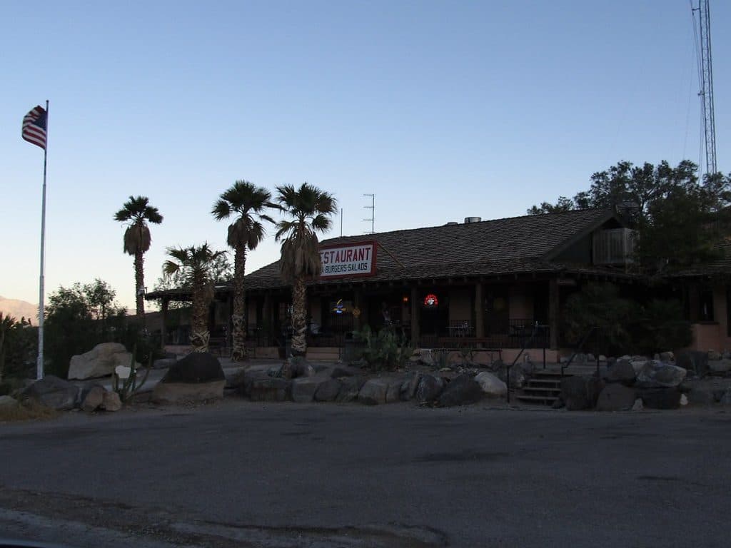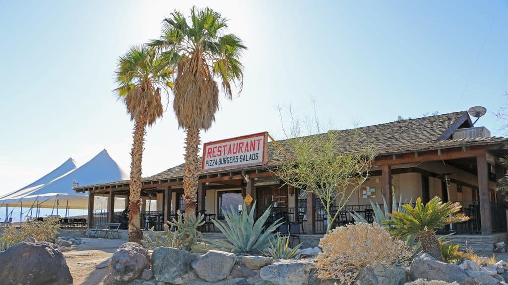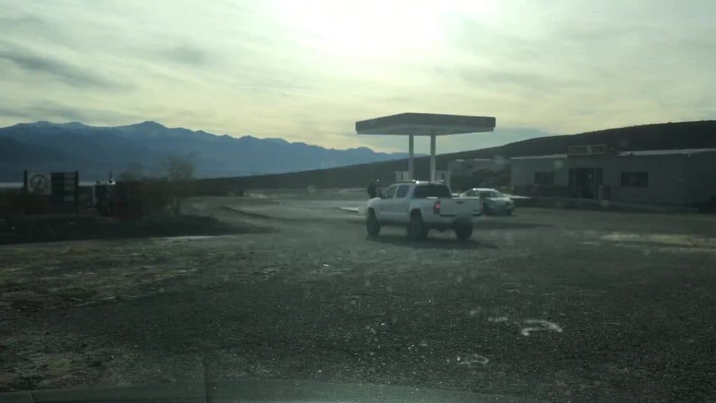
Panamint Springs Gas Station in Death Valley National Park

Gas station · Death Valley National Park

Panamint Springs Gas Station

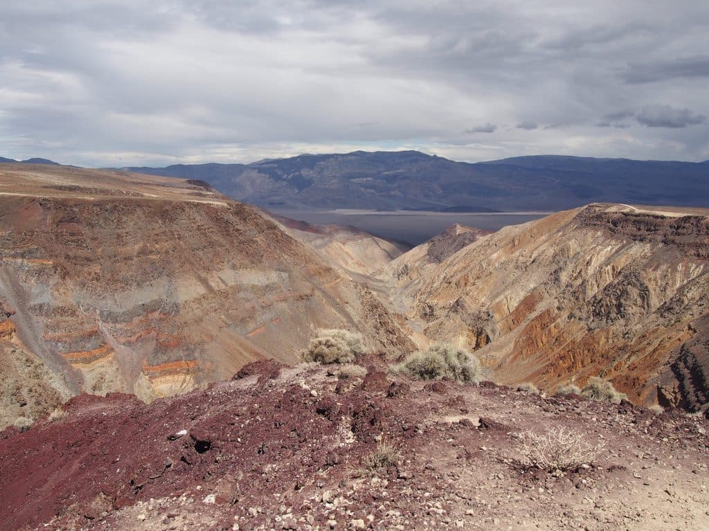
Remote in-park fuel and essentials with big Panamint Valley views

Photo: Mapillary
Type
Gas station
Nearest trail
2.7 mi
Audio stories
1 nearby
  • Store
  • Food
  • Restaurant
  • Restrooms

Hear the audio tour

Panamint Springs: A Remote Desert Outpost

Overview

About Panamint Springs Gas Station

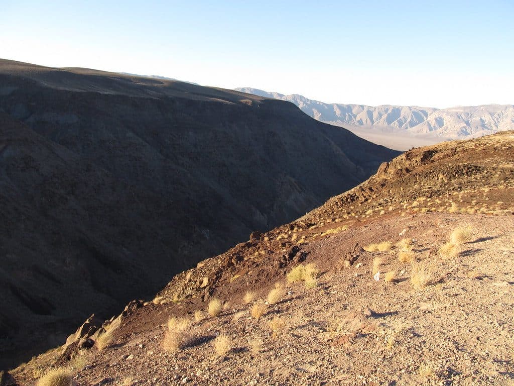
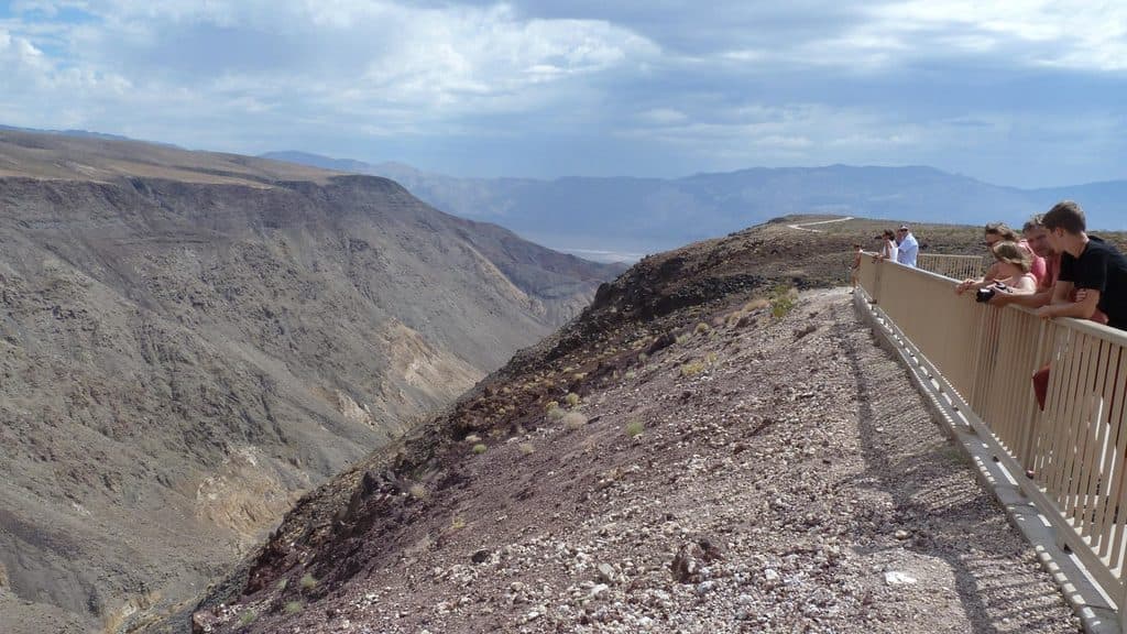
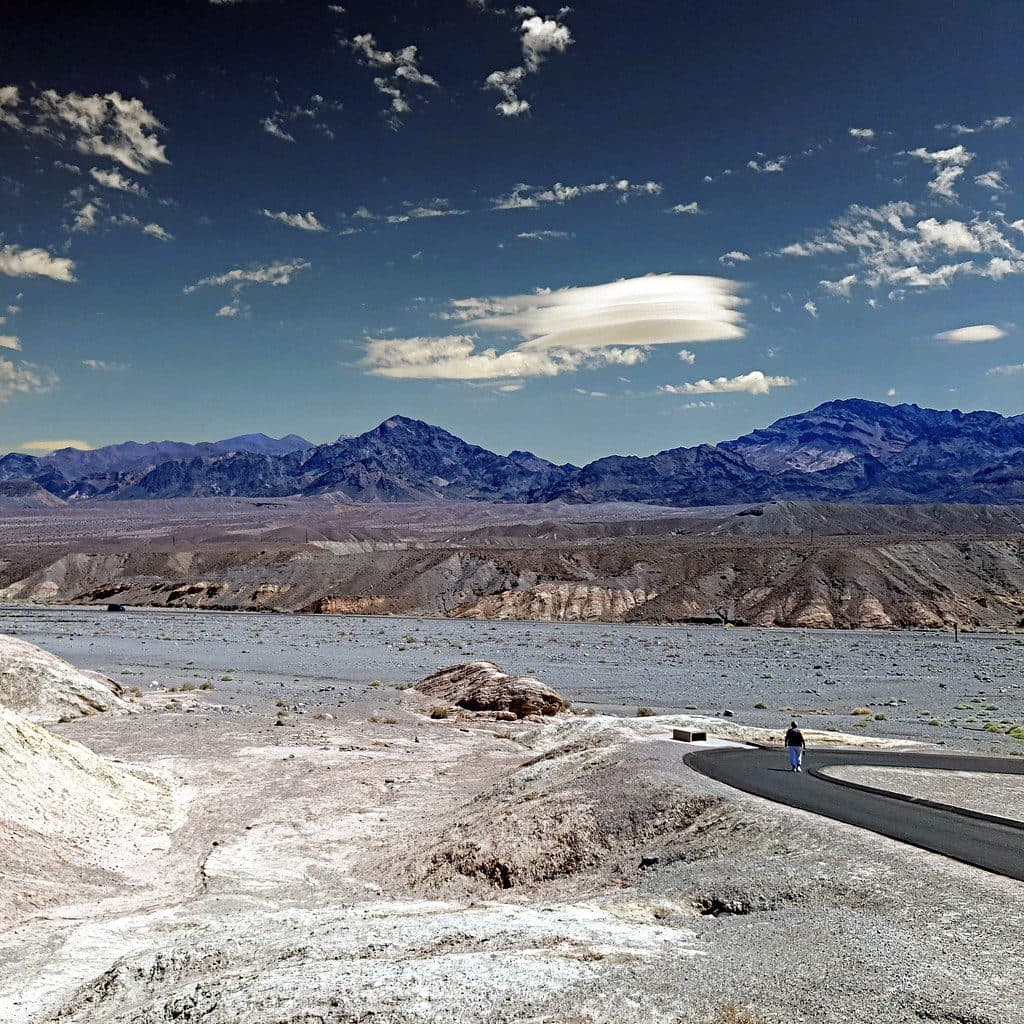
A true desert outpost on Highway 190, Panamint Springs Gas Station sits at the western edge of the park and keeps road trips alive. It’s part of the Panamint Springs Resort complex, so you’ll find fuel, a small but useful general store, and easy access to the restaurant, motel, and campground next door. Views stretch across Panamint Valley to the high Panamint Mountains—surprisingly scenic for a fuel stop.

Why stop

  • Crucial in-park fuel stop on the west side of the park
  • Well-stocked general store for drinks, snacks, and basics

Heads up

  • Fuel prices run high due to the remote location
  • Selection is limited compared to off-park stores
Fuel is scarce across this vast park, and this station is one of the few inside the boundaries—especially useful when entering or exiting on the west side. It’s quieter than the busier central hubs, with that rustic, Old West vibe and big-sky desert scenery.
Parkwolf’s verdictWhy Stop Here

Map

Where it is

Loading the Death Valley map
Full map
Gas stationPanamint Springs Gas Station36.33915, -117.46760
Keep this map with you offline in the Parkwolf app

Local know-how

Tips for visiting Panamint Springs Gas Station

  1. Plan fuel around the 8 AM–8 PM hours so you’re not caught short.

  2. Expect the highest demand late morning, especially on Fridays—go early.

  3. Diesel and 87/89/91 octane are available if you need specific fuel.

  4. Pay at the pump with cash or card; cell service can be spotty in the valley.

Plan your stop

Before you go

Best time to visit

Hours run roughly 8 AM–8 PM daily. Mornings are easiest for quick in-and-out stops; late mornings to early afternoons see more traffic, with Friday around late morning typically the busiest. For photos and a breather, late-day light paints Panamint Valley beautifully—top off, grab a cold drink, and enjoy the view.

3 active Death Valley alerts

  • ClosurePark roads closed or hazardousPlan around multiple closed roads and use extra caution on damaged routes. - Paved roads: North Highway and Beatty Cut-off are closed due to flooding and debris from the October 22 storm.Official details
  • ClosureSaline Valley Lower Springs closed after wildfireLower Springs at Saline Valley Warm Springs remains closed after the September 15 wildfire; stay out because the fire left safety hazards, including potential hazardous chemicals.Official details
See all 3 alerts
A park ranger sits on a dash-mounted phone, talking, as Parkwolf’s Tour Guide plays “Army Cutworm Moths: A Grizzly Bear Buffet” on Grand Loop Road below Dunraven Pass in Yellowstone
Parkwolf Tour GuideThe highest, rockiest slopes around here are a summer buffet for grizzly bears.

Death Valley Tour Guide

Your drive to Panamint Springs Gas Station, narrated.

Parkwolf is a GPS audio tour guide for Death Valley National Park. As you drive, it chimes in with what’s ahead: hidden gems, upcoming stops, history, geology, and wildlife, right through your car’s speakers.

See the Death Valley audio tour

Recorded for this place

Panamint Springs: A Remote Desert Outpost
Listen
“You're nearing the remote outpost of Panamint Springs. This place is pretty much the only all-in-one stop on this side of the park, with gas, a small general store, and a restaurant all in one spot.”

Plays as you drive up to Panamint Springs Gas Station in the Parkwolf Death Valley Tour Guide.

More stories near here in the app

  • Rock Varnish: Nature’s Slow-Motion Paint
  • Panamint's Pop-Up Lake and Treacherous Mud
  • Father Crowley Vista and Rainbow Canyon
  • 130 audio storiesacross Death Valley’s roads, triggered by GPS as you drive
  • Wildlife heatmapsfor Bighorn Sheep, Desert Tortoise, Coyote, and 13 more
  • Works offlinemaps, 36 trails, 114 places, and audio download before you lose signal
  • CarPlay readysimple controls built for the drive
★★★★★
“Fantastic app with many points of information… It’s great to just turn on while you’re driving and it gives you an audio tour of the national Park. We love it!!!!”
JMJamesApp Store review
Download Parkwolf on the App StoreGet Parkwolf on Google Play

4.7 from 8,600+ ratings

Guide

More about Panamint Springs Gas Station

What’s HereFuel: 87/89/91 octane gasoline and diesel.
  • Fuel: 87/89/91 octane gasoline and diesel.
  • Payments: Cash or credit with pay-at-the-pump convenience.
  • General store: Cold drinks, snacks, ice cream, coffee, sundries, maps, simple camping needs, and an on-site ATM.
  • Nearby options: The resort’s restaurant/bar, motel, and campground are a short walk away; motel and campground check-in happens at the gas station building.
  • Restrooms and parking available.
Wildlife & SettingRight around the pumps you’re in developed space, but step to the edges and you’re in classic…

Right around the pumps you’re in developed space, but step to the edges and you’re in classic Mojave desert. At dawn or dusk, keep an eye out for lizards and birds working the sparse shrubs, with distant dunes and the 11,000-foot Panamint range framing the scene.

Good to KnowGas isn’t cheap—plan for premium pricing in exchange for convenience.
  • Gas isn’t cheap—plan for premium pricing in exchange for convenience.
  • Stock up on water and snacks here if you’re pushing deeper into the park.
  • Staff can share current road and area info if you need a quick reality check before your next stretch.

Wildlife

Wildlife in Death Valley

All Death Valley wildlife maps

Sighting maps show where each species has been reported across Death Valley. Wildlife moves, so no sighting is guaranteed.

Parkwolf’s Death Valley ranking

Top sights in Death Valley

All 114 places
  1. 1Badwater BasinSight
  2. 2Dante's ViewSight
  3. 3Mesquite Flat Sand DunesSight
  4. 4Zabriskie PointSight
  5. 5Golden CanyonSight
  6. 6Artists PaletteSight

Take Parkwolf to Death Valley.

The audio tour guide for the drive, plus offline maps, trails, and wildlife heatmaps for when the signal drops.

4.7 from 8,600+ ratings

Download Parkwolf on the App StoreGet Parkwolf on Google Play