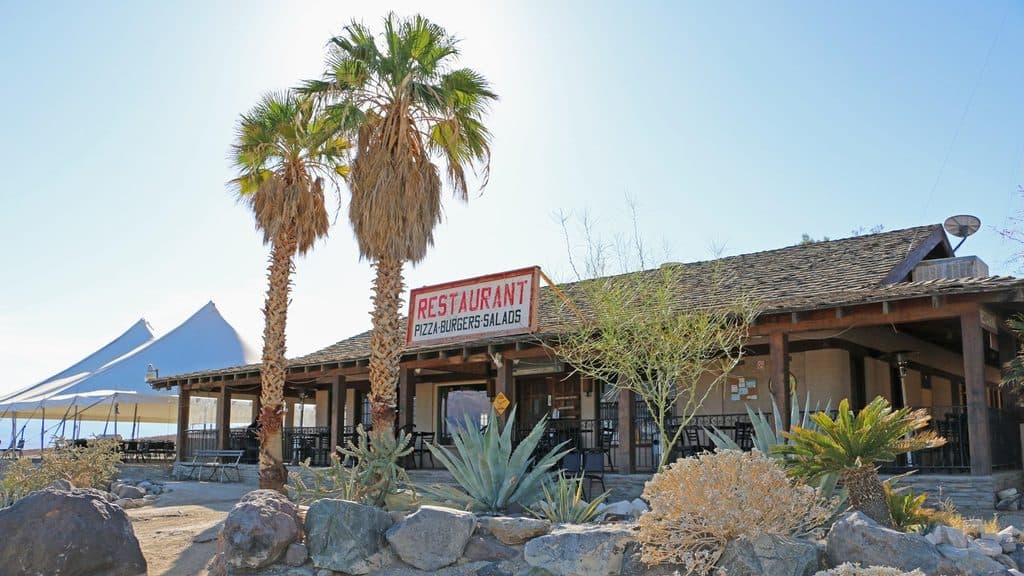
Panamint Springs Resort in Death Valley National Park

Lodging · Death Valley National Park

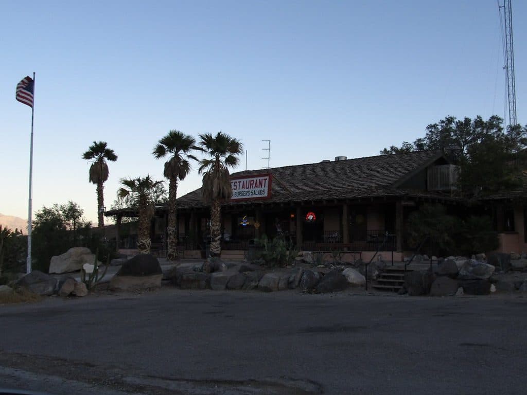
Panamint Springs Resort

Remote, rustic base with fuel, food, and starry Panamint Valley views

Photo: National Park Service
Type
Lodging
Nearest trail
2.7 mi
Audio stories
1 nearby
  • Campground
  • Restaurant
  • Food
  • Store

Hear the audio tour

Panamint Springs: A Remote Desert Outpost

Overview

About Panamint Springs Resort

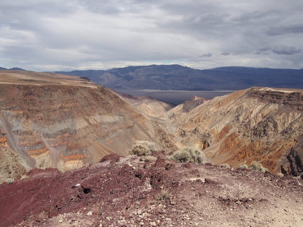
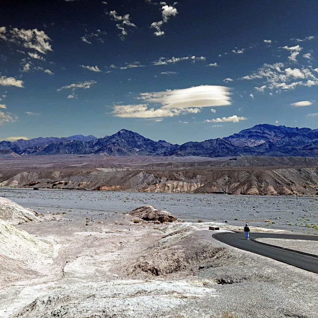
Remote, simple, and useful—that’s the vibe here. Panamint Springs sits along CA‑190 on the park’s west side, about 10 miles inside the boundary and roughly 32 miles west of Stovepipe Wells. It’s a privately owned, low‑key base with big sky views across Panamint Valley and up to the 11,000‑foot Panamint Mountains.

Why stop

  • One-stop outpost with lodging, camping, food, fuel, and a store
  • Big desert views and excellent stargazing from the property
  • Range of options: motel rooms, cabins, tent cabins, RV and tent sites

Heads up

  • Rustic and basic; not a luxury stay
  • Spotty cell service and Wi‑Fi limited to common areas
  • Long drives to major sights across the valley

Map

Where it is

Loading the Death Valley map
Full map
LodgingPanamint Springs Resort36.33941, -117.46812
Keep this map with you offline in the Parkwolf app

Local know-how

Tips for visiting Panamint Springs Resort

  1. Book spring and fall dates early—this small outpost fills fast.

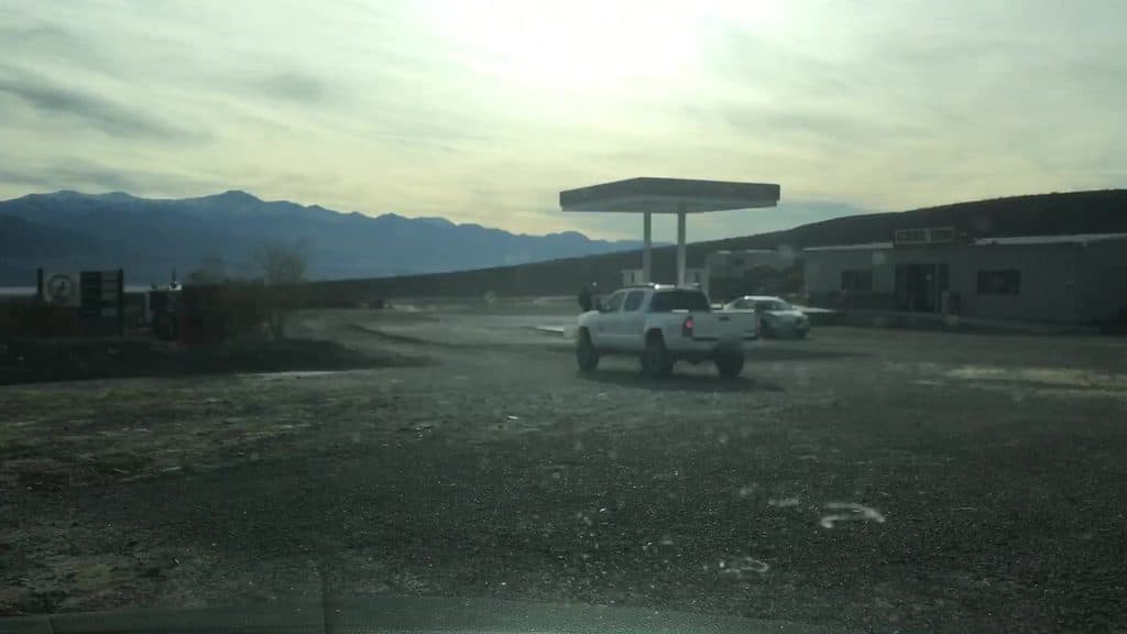
  2. Refuel here before long west‑side drives; stations are sparse.

  3. Expect limited cell coverage; download maps and confirmations in advance.

  4. If tent camping, stake and weigh your tent—winds can build by evening.

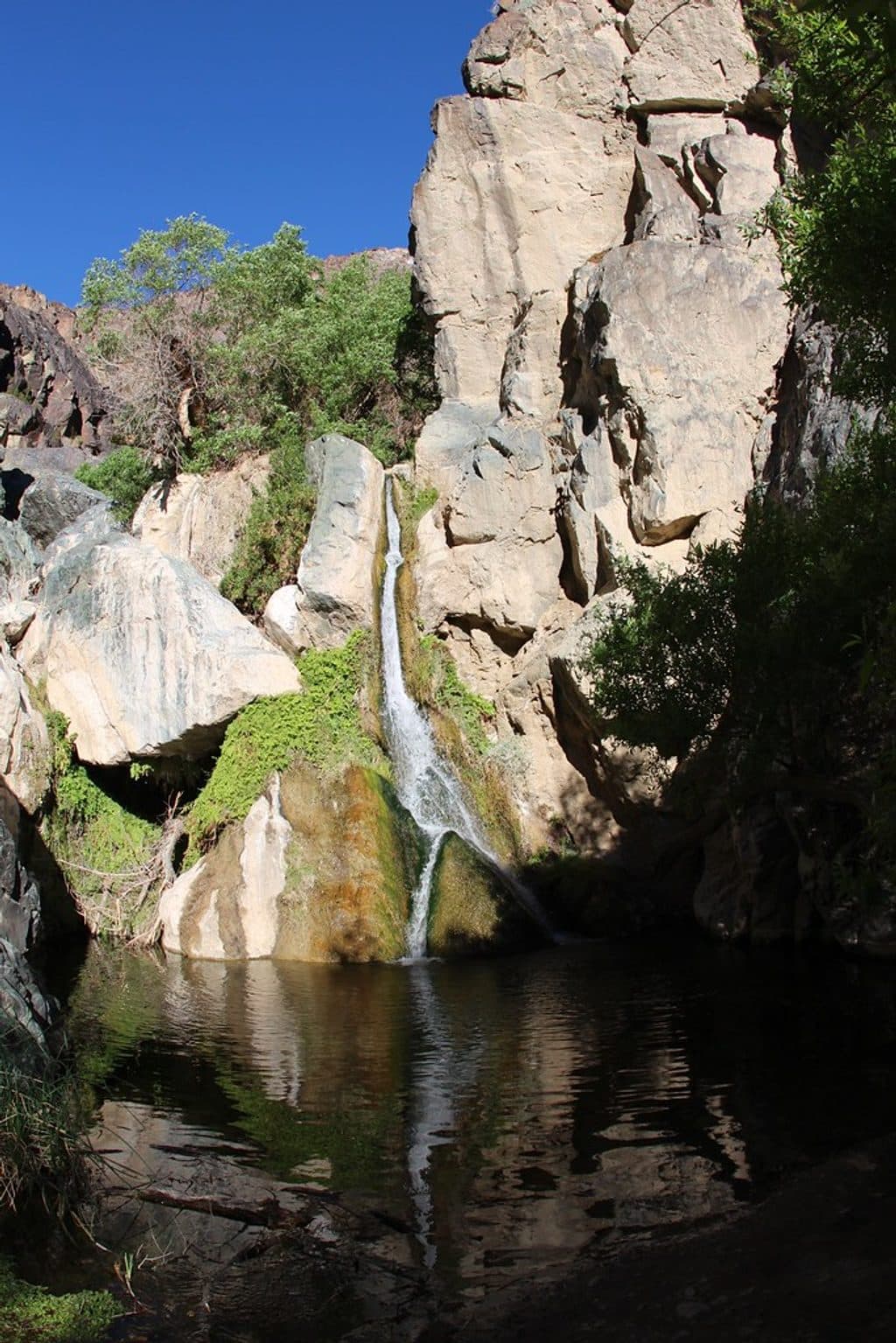
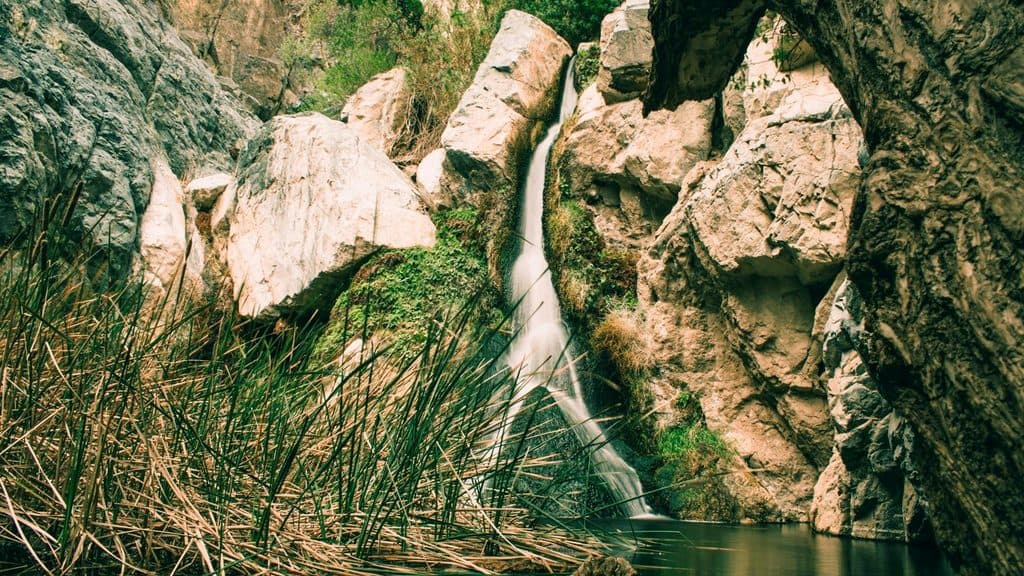
  5. Darwin Falls is just down the road; start early to enjoy shade and solitude.

Plan your stop

Before you go

Best time to visit

  • For comfort, aim for spring and fall. Summer heat is extreme and can linger overnight.
  • For crowds and dining, late afternoon into dinner sees the most activity; mornings are quieter and great for sunrise light on the valley.
  • For stargazing, stay up after restaurant hours when lights and traffic drop to a minimum.

3 active Death Valley alerts

  • ClosurePark roads closed or hazardousPlan around multiple closed roads and use extra caution on damaged routes. - Paved roads: North Highway and Beatty Cut-off are closed due to flooding and debris from the October 22 storm.Official details
  • ClosureSaline Valley Lower Springs closed after wildfireLower Springs at Saline Valley Warm Springs remains closed after the September 15 wildfire; stay out because the fire left safety hazards, including potential hazardous chemicals.Official details
See all 3 alerts
A park ranger sits on a dash-mounted phone, talking, as Parkwolf’s Tour Guide plays “Army Cutworm Moths: A Grizzly Bear Buffet” on Grand Loop Road below Dunraven Pass in Yellowstone
Parkwolf Tour GuideThe highest, rockiest slopes around here are a summer buffet for grizzly bears.

Death Valley Tour Guide

Your drive to Panamint Springs Resort, narrated.

Parkwolf is a GPS audio tour guide for Death Valley National Park. As you drive, it chimes in with what’s ahead: hidden gems, upcoming stops, history, geology, and wildlife, right through your car’s speakers.

See the Death Valley audio tour

Recorded for this place

Panamint Springs: A Remote Desert Outpost
Listen
“You're nearing the remote outpost of Panamint Springs. This place is pretty much the only all-in-one stop on this side of the park, with gas, a small general store, and a restaurant all in one spot.”

Plays as you drive up to Panamint Springs Resort in the Parkwolf Death Valley Tour Guide.

More stories near here in the app

  • Rock Varnish: Nature’s Slow-Motion Paint
  • Panamint's Pop-Up Lake and Treacherous Mud
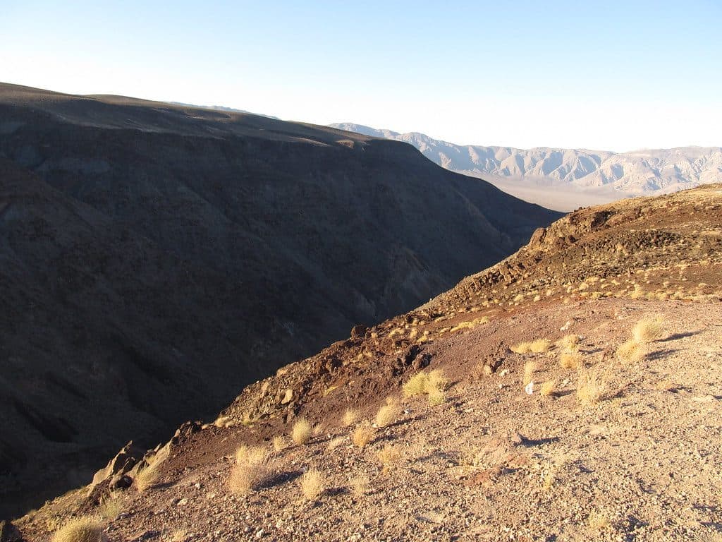
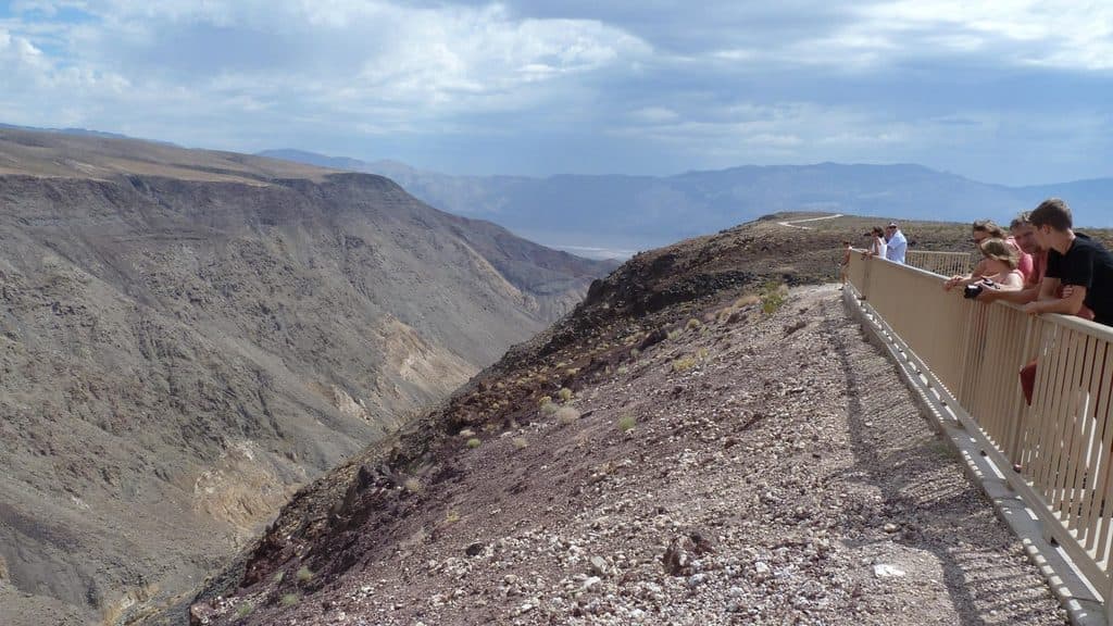
  • Father Crowley Vista and Rainbow Canyon
  • 130 audio storiesacross Death Valley’s roads, triggered by GPS as you drive
  • Wildlife heatmapsfor Bighorn Sheep, Desert Tortoise, Coyote, and 13 more
  • Works offlinemaps, 36 trails, 114 places, and audio download before you lose signal
  • CarPlay readysimple controls built for the drive
★★★★★
“Fantastic app with many points of information… It’s great to just turn on while you’re driving and it gives you an audio tour of the national Park. We love it!!!!”
JMJamesApp Store review
Download Parkwolf on the App StoreGet Parkwolf on Google Play

4.7 from 8,600+ ratings

Guide

More about Panamint Springs Resort

What You’ll FindLodging spans motel‑style rooms, wood‑paneled cabins, and tent cabins, plus RV hookups, dry…
  • Lodging spans motel‑style rooms, wood‑paneled cabins, and tent cabins, plus RV hookups, dry camping, and standard tent sites.
  • On‑site essentials include a sit‑down restaurant and bar, a well‑stocked general store, and a gas station—rare to have all in one place on this side of the park.
  • Expect an honest, dusty desert outpost: comfortable enough to reset, but decidedly no frills.
Why Stay HereThis is the park’s west‑side lifeline—fuel, food, beds, and a campsite all together.

This is the park’s west‑side lifeline—fuel, food, beds, and a campsite all together. If you’re road‑tripping in or out via the Sierra/Whitney side or exploring Panamint Valley, it’s the most convenient hub around. Sunsets can glow over the valley, and the dark skies make stargazing a highlight.

Nearby and WildlifeDarwin Falls is just down the road, a rare year‑round spring and waterfall that’s a stark…

Darwin Falls is just down the road, a rare year‑round spring and waterfall that’s a stark contrast to the surrounding desert. Around the property and near water sources you might spot desert birds, lizards, and the occasional coyote.

Trade‑offs to KnowRemoteness cuts both ways: solitude and stars, but long hauls to marquee sights (think about 75…
  • Remoteness cuts both ways: solitude and stars, but long hauls to marquee sights (think about 75 miles to Badwater Basin).
  • Rooms and facilities are simple and can show wear. Manage expectations and you’ll be fine.
  • Cell service is limited; Wi‑Fi is available mainly in public areas and can be inconsistent.
Practical TipsThe gas here matters—fill up before tackling long west‑side drives.
  • The gas here matters—fill up before tackling long west‑side drives.
  • The general store covers a lot of gaps (ice, snacks, basic supplies), but bring special‑diet items.
  • Spring and fall book up; reserve early for cabins or popular RV sites.
  • Wind can kick up in the afternoon—secure tents well and weigh them down if you’re day‑tripping.

Wildlife

Wildlife in Death Valley

All Death Valley wildlife maps

Sighting maps show where each species has been reported across Death Valley. Wildlife moves, so no sighting is guaranteed.

Parkwolf’s Death Valley ranking

Top sights in Death Valley

All 114 places
  1. 1Badwater BasinSight
  2. 2Dante's ViewSight
  3. 3Mesquite Flat Sand DunesSight
  4. 4Zabriskie PointSight
  5. 5Golden CanyonSight
  6. 6Artists PaletteSight

Take Parkwolf to Death Valley.

The audio tour guide for the drive, plus offline maps, trails, and wildlife heatmaps for when the signal drops.

4.7 from 8,600+ ratings

Download Parkwolf on the App StoreGet Parkwolf on Google Play