Parking
Limited dirt parking near the Darwin Falls trailhead at the end of the access road; no restrooms or potable water. Check with park staff about access-road conditions before driving in.
#10 of 36 trails in Death Valley
Death Valley National Park, CA · NV
A shady, year-round desert oasis with a real waterfall.
Overview
Darwin Falls is a spring-fed oasis hidden in a desert canyon. This unmarked out-and-back route is about 2.0 miles round trip from the Darwin Falls trailhead to the lower falls, following a mostly level wash that becomes rockier inside the canyon. The mapped corridor is about 0.96 mile one way; the visitor distance includes the return.
Map & elevation
Plan your hike

The highest, rockiest slopes around here are a summer buffet for grizzly bears.
Death Valley Tour Guide
Parkwolf is a GPS audio tour guide for Death Valley National Park. As you drive, it chimes in with what’s ahead: hidden gems, upcoming stops, history, geology, and wildlife, right through your car’s speakers.
See the Death Valley audio tourRecorded for this area
Rock Varnish: Nature’s Slow-Motion Paint“See those dark, glossy streaks staining the canyon walls? That's not paint; it's desert varnish, a thin coating built over thousands of years.”
Plays on the road 1.8 mi from the trailhead in the Parkwolf Death Valley Tour Guide.
More stories near here in the app
“Fantastic app with many points of information… It’s great to just turn on while you’re driving and it gives you an audio tour of the national Park. We love it!!!!”


Trail guide
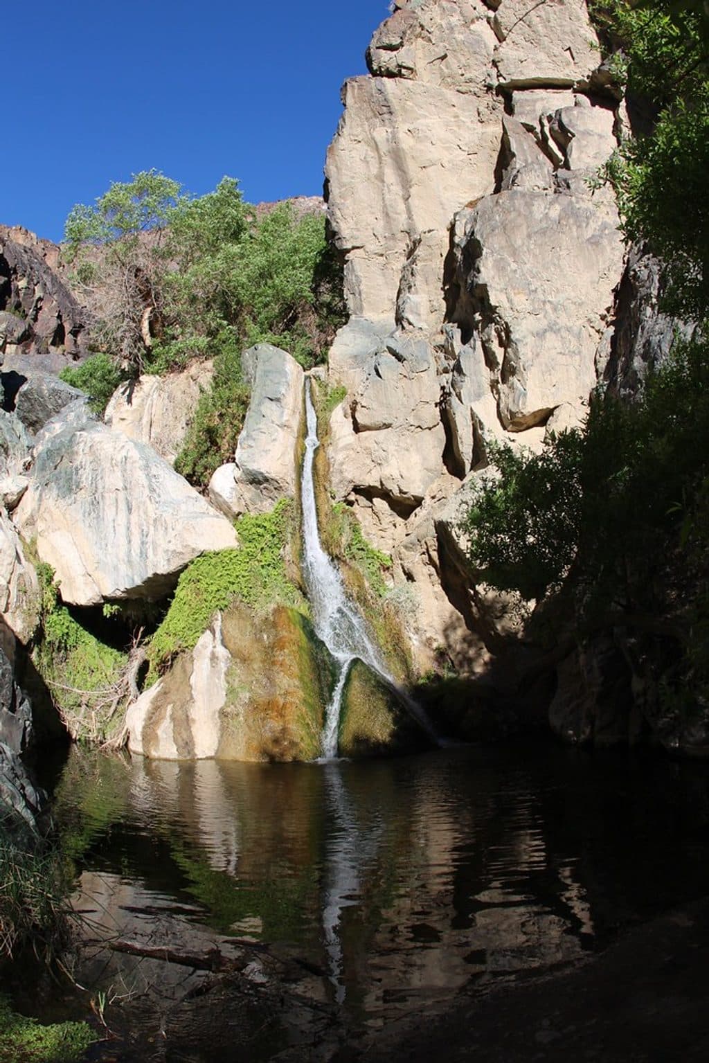
The route ends at an approximately 18-foot waterfall dropping into a shallow pool surrounded by lush vegetation. Cottonwoods, willows, cattails, and ferns make this a striking contrast to the surrounding Mojave Desert. Tree frogs, toads, and desert bighorn sheep depend on the spring-fed water and riparian habitat.
There is no official signed trail. Follow the worn route up the gravel wash, then continue through the narrow canyon as the footing becomes rocky. Expect repeated creek crossings, rock-hopping, and a short scramble near the falls; rocks can be wet and slick. Stay with the established route and avoid trampling the fragile oasis vegetation.
The trailhead is reached from Darwin Falls Road, about 1.2 miles west of Panamint Springs Resort on CA-190. The unpaved access road can be rough and may not be passable by every passenger car, so check with park staff about road conditions before setting out. Parking is limited near the trailhead, with no restrooms or potable water; the nearest facilities are at Panamint Springs Resort.
Carry all the drinking water you need and do not drink from the creek. Do not enter or wade in the pool: the water supplies nearby Panamint Springs Resort. Wear shoes with good grip and expect wet feet. Cell service is unreliable, so download maps before leaving service.
Wildlife
 71 sightingsBighorn SheepMost seen around 6 PMSighting map
 101 sightingsDesert TortoiseMost seen around 8 AMSighting map
 458 sightingsCoyoteMost seen around 6 PMSighting map
 28 sightingsFeral BurroMost seen around 5 PMSighting map
 30 sightingsMule DeerMost seen around 7 PMSighting map
 62 sightingsKit FoxMost seen around 7 PMSighting map
Sighting maps show where each species has been reported across Death Valley. Wildlife moves, so no sighting is guaranteed.
Keep exploring
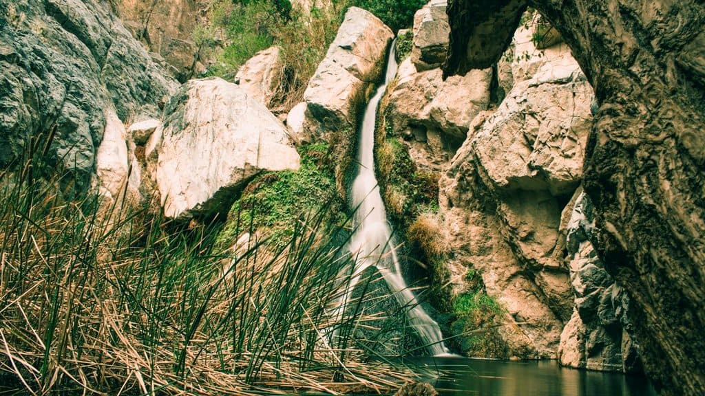 Sight · 0.7 mi awayDarwin FallsA shady, year-round oasis waterfall near Panamint Springs
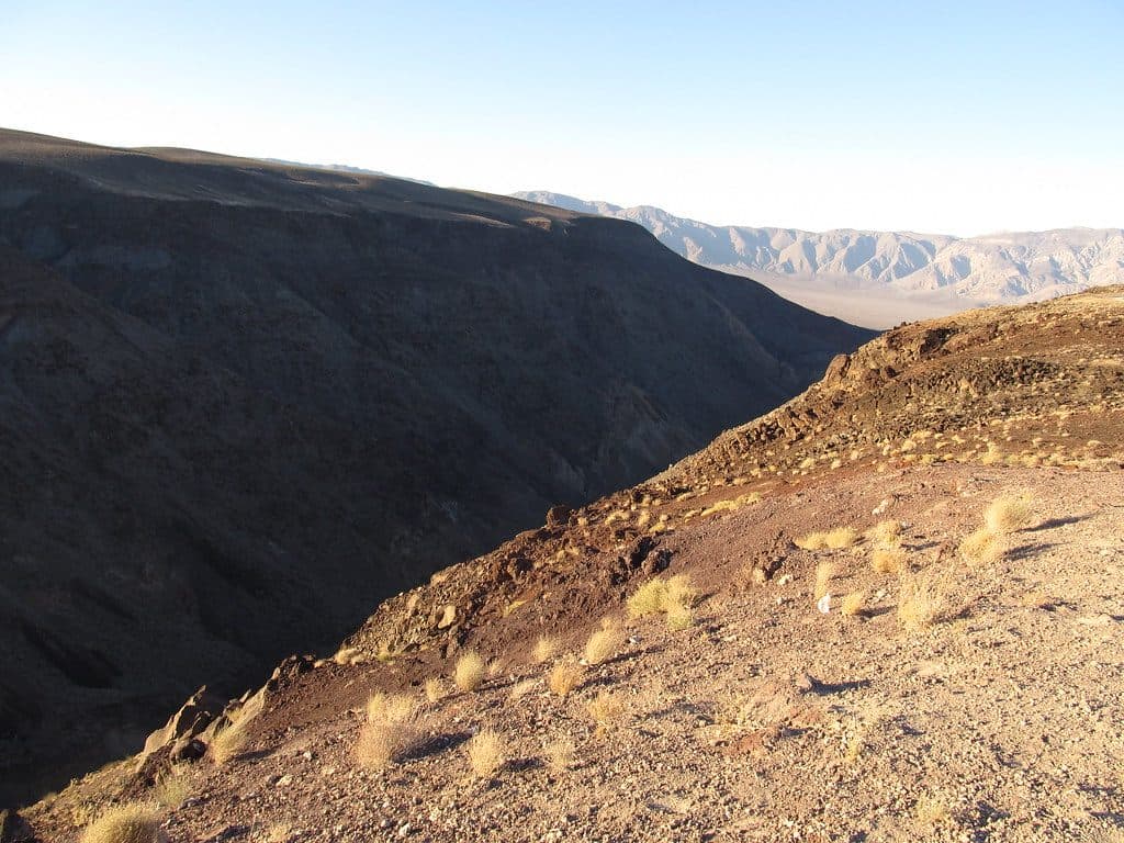 Sight · 2.4 mi awayFather Crowley Vista PointColor-banded canyon overlook with big valley views and possible jet flybys
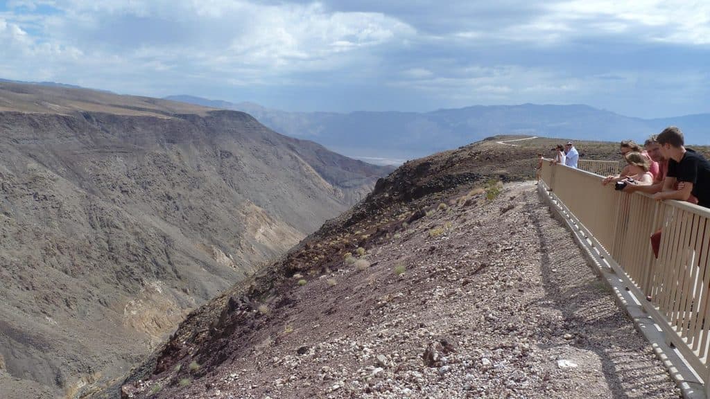 Sight · 2.6 mi awayPadre PointShort spur to big views of Rainbow Canyon and Panamint Valley
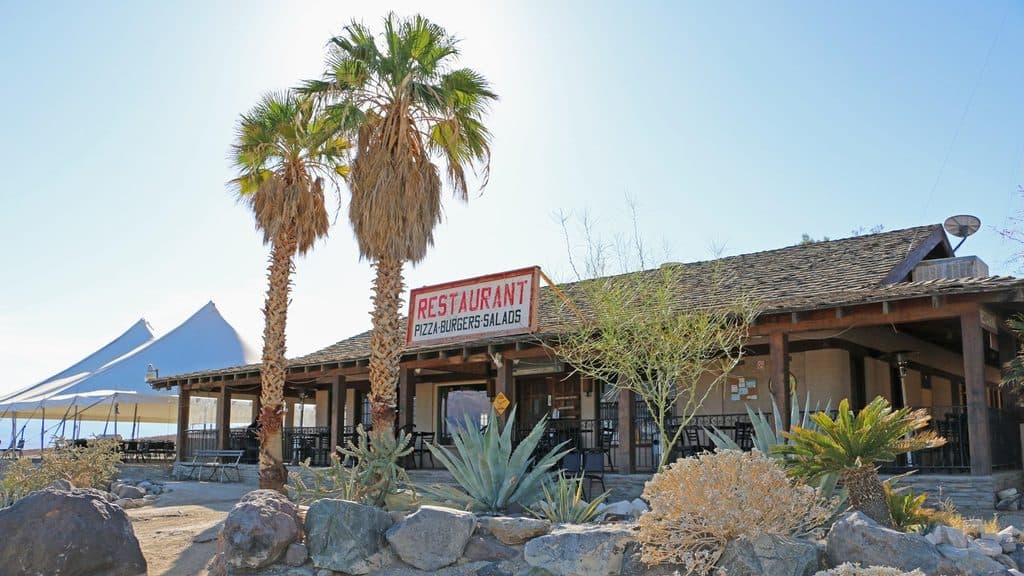 Lodging · 2.7 mi awayPanamint Springs ResortRemote, rustic base with fuel, food, and starry Panamint Valley views
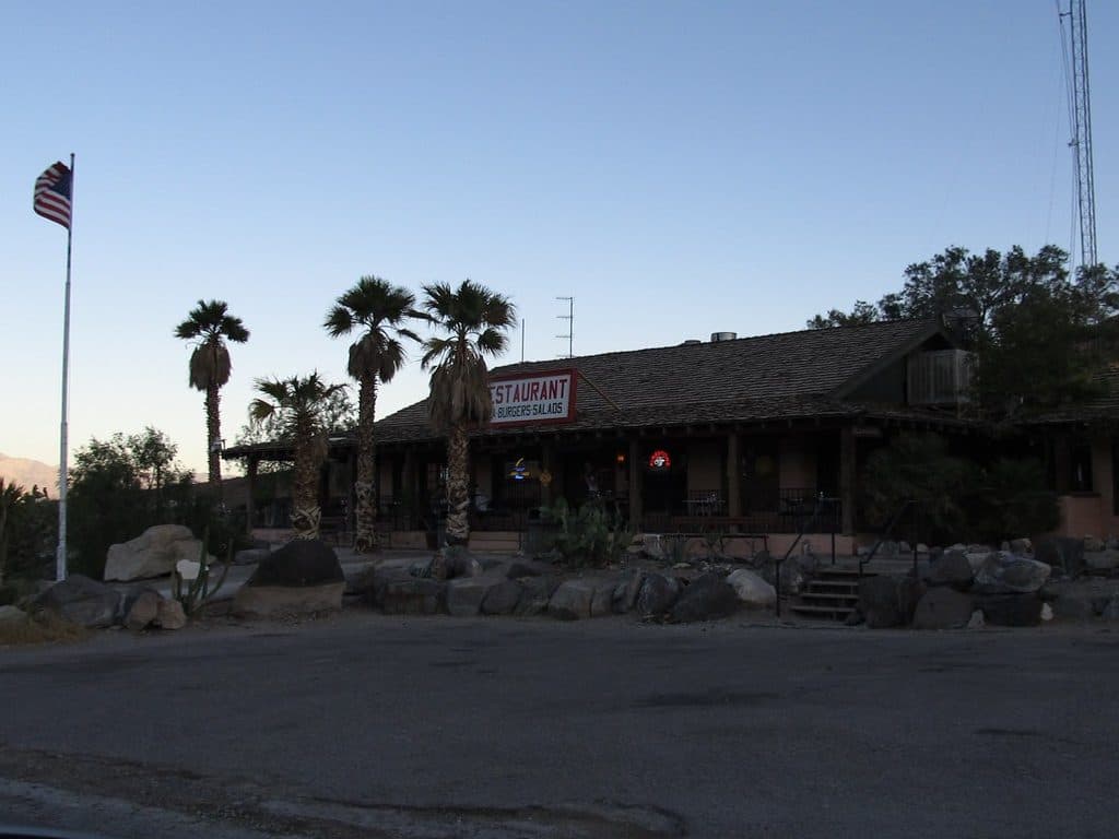 Restaurant · 2.7 mi awayPanamint Springs RestaurantRemote, hearty eats with patio views over Panamint Valley
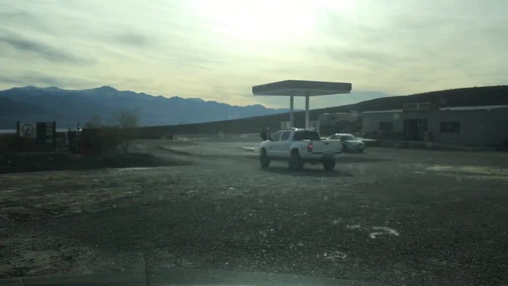 Gas station · 2.7 mi awayPanamint Springs Gas StationRemote in-park fuel and essentials with big Panamint Valley views
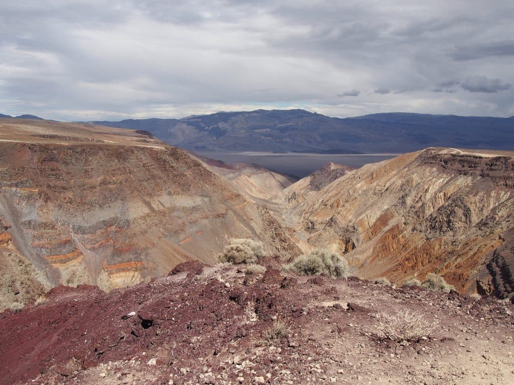 Sight · 3.5 mi awayRainbow CanyonColor-streaked canyon best viewed from Father Crowley Vista
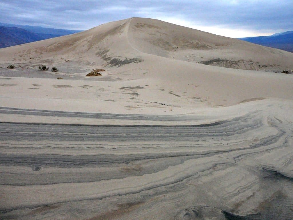 Sight · 9.8 mi awayPanamint DunesRemote dunes with solitude, big views, and pristine sand
Parkwolf’s Death Valley ranking

The audio tour guide for the drive, plus offline maps, trails, and wildlife heatmaps for when the signal drops.