Pros & cons
PROS
- Remote, adventurous backcountry drive with big desert panoramas
- Access to Hanaupah Spring and old mining remains on foot
CONS
- Rough, flood-prone road requiring high-clearance and often 4x4
- No services or facilities; full self-sufficiency required
Overview
Hanaupah Canyon cuts into the eastern flank of the Panamint Mountains and offers a rugged slice of Death Valley backcountry. The unpaved Hanaupah Canyon Road climbs a huge alluvial fan, then drops into a gravel wash, leading toward a spring and historic mining remains. It’s remote and rarely crowded—more about solitude and challenge than convenience.
The Drive & Route
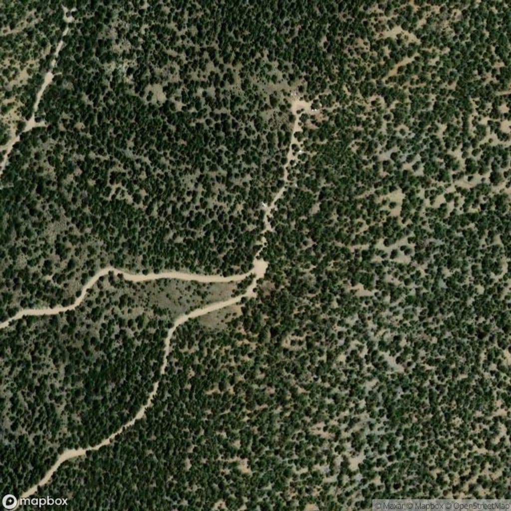
Expect about 8 miles from West Side Road to the end of the drivable track near the south fork. High-clearance 2WD typically makes it about 5 miles up the alluvial fan; beyond that, the final stretch generally demands a robust 4x4. Conditions change frequently due to flooding—boulders, loose gravel, washouts, and sections that can be completely erased by storms. Hikers can continue past the road’s end toward Hanaupah Spring and old mining relics.
What You’ll See
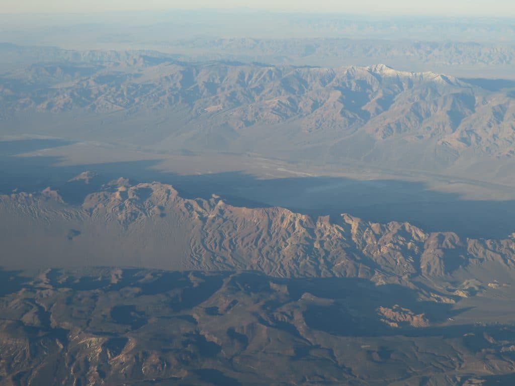
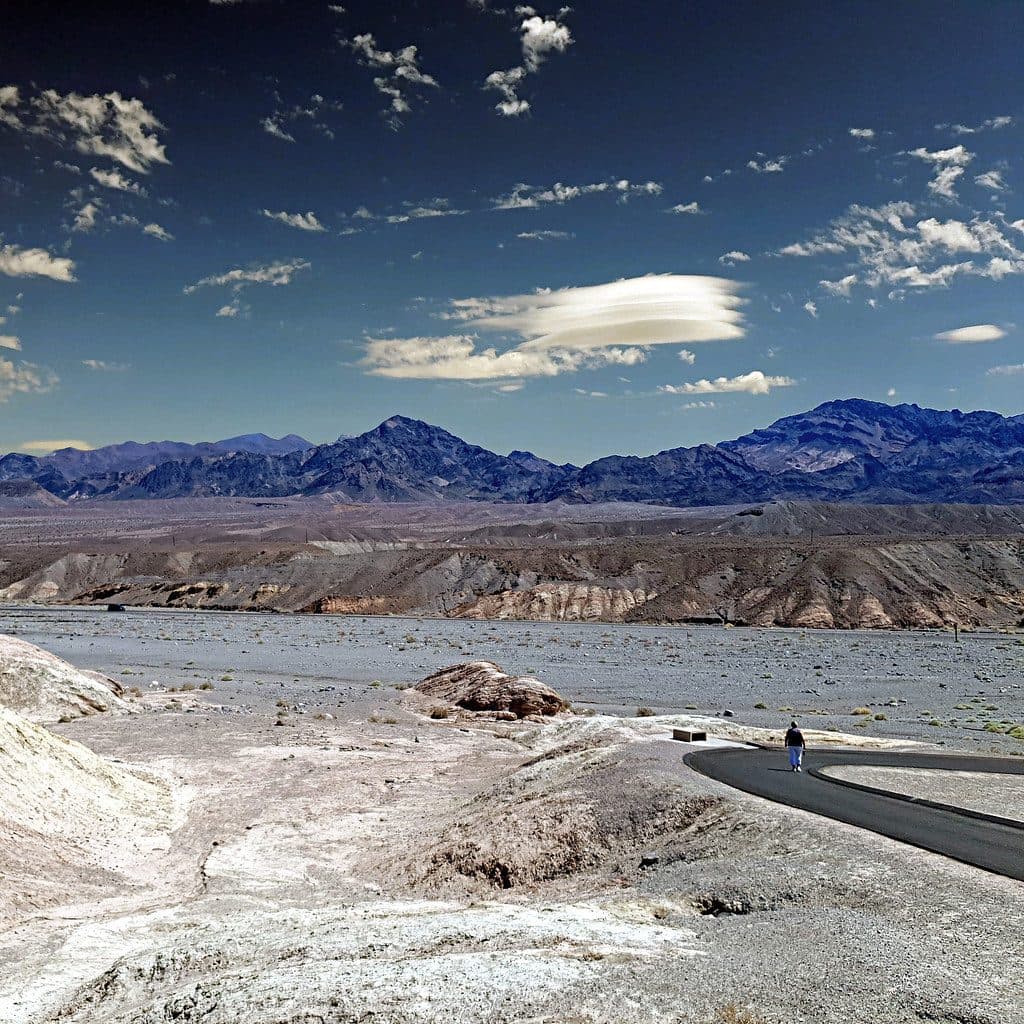
You’ll cross a broad alluvial fan into a gravelly canyon wash with classic Panamint foothills around you. Views sweep across Death Valley to the Black Mountains; on clear days, you may even spot the High Sierra to the west. Near the end, Hanaupah Spring creates a small desert oasis, and the area holds remnants of the canyon’s mining past.
Wildlife
While specific species aren’t documented here, the perennial spring supports a pocket of life in an otherwise harsh landscape. Expect the kind of birds, small mammals, and reptiles that frequent desert oases.
Safety & Preparation
This is serious backcountry. There are no services, no reliable water (don’t count on the spring), and typically no cell signal. Bring ample water, food, navigation tools (map/GPS), and a full vehicle recovery kit. Be prepared to turn around if conditions deteriorate. Check current road status before committing to the drive.
Who Will Love It
Off-roaders, experienced hikers, and solitude seekers. If you enjoy rugged roads, geologic landforms like alluvial fans and washes, and poking around historic mining traces, Hanaupah Canyon is your kind of place.
Best Time to Visit
There’s no developed schedule or crowd pattern—this area stays quiet. The best time is whenever road conditions are favorable. Avoid the canyon after recent storms, and plan your outing on a stable weather day. Soft light at the bookends of the day tends to show off the canyon walls and broad valley views.

Where it is
36.1836, -117.0243Tips for Hanaupah Canyon
- 01High-clearance 2WD reaches roughly 5 miles; 4x4 usually needed beyond.
- 02Check current road conditions—flooding frequently reshapes the wash.
- 03Carry all your own water; do not rely on Hanaupah Spring.
- 04Bring map/GPS and be ready to turn around if the route degrades.
Amenities
Near Hanaupah Canyon
All places →All trails →
3.7 mi awayTelescope PeakDesert high point with sweeping views from Badwater to WhitneyTrailhead · Parking
4 mi awayMahogany Flat CampgroundHigh, free basecamp for Telescope Peak with big viewsTrailhead · Restroom
4 mi awayTelescope Peak Trailhead ViewpointHigh-elevation trailhead with sweeping salt-to-Sierra viewsTrailhead · Restroom
4.5 mi awayThorndike CampgroundTiny, cool, high-elevation hideout near Telescope PeakCampground · Restroom
5.2 mi awayWildrose Peak TrailShorter path to big Death Valley views from a historic trailheadChallenging · 8.4 mi · 5 hr
14.7 mi awayBadwater Basin Salt FlatsWalk the otherworldly salt polygons at North America’s lowest pointEasy · 1.9 mi · 33 min
14.7 mi awayBadwater Basin BoardwalkEasy stroll to surreal salt flats at North America's low pointEasy · 1 mi · 45 min
16 mi awayNatural Bridge Canyon TrailQuick canyon walk to a dramatic rock bridge and dry fallsEasy · 1.5 mi · 54 min