Pros & cons
PROS
- High-elevation perch with sweeping valley-to-Sierra views
- Primitive campground and vault toilet right at the start
CONS
- Rough, steep final road; high-clearance/4x4 often recommended
- No water available—carry everything you need
Overview
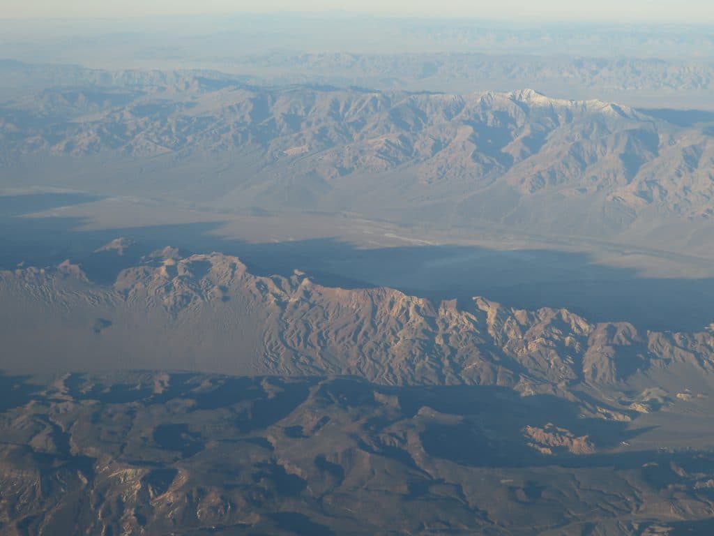
Set at roughly 8,100 feet at Mahogany Flat, the Telescope Peak Trailhead is already in Death Valley’s high country before you even take a step. It’s the launching point for the park’s signature summit hike, and it doubles as a viewpoint: look east toward the gleaming salt flats far below and west to the crest of the Sierra Nevada. The setting is alpine—think bristlecone and limber pines—yet you’re overlooking one of North America’s lowest, hottest deserts.
Why It’s Special
Few places in the park show the basin-and-range drama like this start line. The contrast from salt to snow, desert to pine forest, is immediate from the trailhead, and the sense of vertical relief is real. Even if you’re not hiking the full peak, standing here gives you that big-picture context that makes Death Valley feel otherworldly.
Amenities and Access
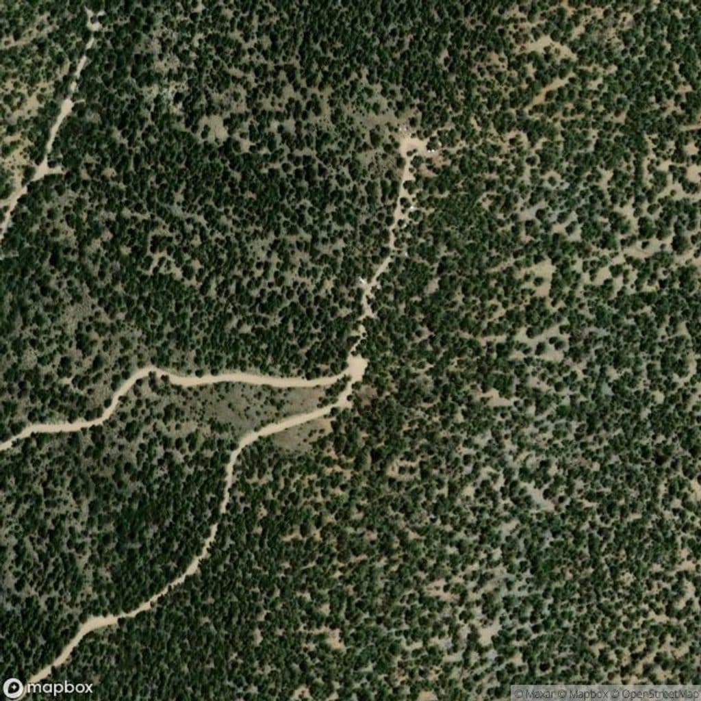
This is a true mountain trailhead: primitive and practical. You’ll find parking, a signed trail start, a hiker register, a vault/composting toilet, and picnic tables via the adjacent Mahogany Flat Campground. There’s no water and no services—plan to be fully self-sufficient.
Getting here is part of the adventure. The final 1.5 miles to Mahogany Flat are steep, rough, and narrow; high-clearance (and often 4x4) is advised. In winter or during icy periods the road may be closed; park at the Wildrose Charcoal Kilns and walk the road to the trailhead, which adds distance and some elevation.
What You’ll See
Right from the start you’re among wind-sculpted bristlecone and limber pines with openings that frame Death Valley’s salt pan and the rugged Panamint ridgeline. The wider, head-spinning panoramas unfold as you climb, but the trailhead vantage already delivers that desert-meets-alpine mashup the hike is famous for.
Who Will Like It
Hikers and peak-curious visitors who want a quieter, high-country perspective on the park will love this spot. It draws a more purposeful crowd than the valley-floor pullouts, and the remoteness keeps it mellow.
Best Time to Visit
Late spring through fall is the sweet spot for access and weather. Winter conditions can close the final stretch of road, and you may need to start from the Charcoal Kilns. Summer sees fewer visitors here than on the valley floor. If you’re attempting the summit, start early to bank daylight and cooler temps at elevation.

Essentials
Bring ample water (there’s none at the trailhead or along the route), sun protection, layers for wind and rapid weather shifts, and enough food for a long day if you’re heading toward the peak. Trekking poles are handy for the climb and long descent.
Where it is
36.2300, -117.0683Tips for Telescope Peak Trailhead Viewpoint
- 01Bring all the water you need; there’s none at the trailhead or on the route.
- 02If the final road looks sketchy, park at the Charcoal Kilns and walk up.
- 03Start at first light if you’re aiming for the summit—it’s a big day.
- 04Pack layers: wind, sun, and quick weather changes are common up here.
- 05High-clearance (often 4x4) is recommended for the last 1.5 miles to the trailhead.
Amenities
Near Telescope Peak Trailhead Viewpoint
All places →All trails →
0 mi awayMahogany Flat CampgroundHigh, free basecamp for Telescope Peak with big viewsTrailhead · Restroom
0.5 mi awayThorndike CampgroundTiny, cool, high-elevation hideout near Telescope PeakCampground · Restroom
1.2 mi awayWildrose Peak TrailShorter path to big Death Valley views from a historic trailheadChallenging · 8.4 mi · 5 hr
1.2 mi awayWildrose Charcoal KilnsBeehive kilns in the pines with history and killer acousticsTrailhead · Restroom
3.2 mi awayWildrose PeakBig views via a shorter, quieter climb from the charcoal kilnsTrailhead · Parking
16.8 mi awayBadwater Basin Salt FlatsWalk the otherworldly salt polygons at North America’s lowest pointEasy · 1.9 mi · 33 min
16.8 mi awayBadwater Basin BoardwalkEasy stroll to surreal salt flats at North America's low pointEasy · 1 mi · 45 min
17.2 mi awayDesolation Canyon TrailColor-drenched badlands and a quiet canyon with easy scramblesModerate · 3.7 mi · 2.5 hr