Challenging

Telescope Peak

Desert-to-alpine summit day with bristlecones and massive views
Telescope Peak, Death Valley National Park
Distance14 mi
Typical time8.5 hr
DifficultyChallenging
PetsNot allowed

Overview

This is Death Valley’s big-mountain day hike: a long, high-elevation push to the park’s highest point. From Mahogany Flat Campground, it’s roughly 13–14 miles total (out-and-back) with about 3,000–3,300 feet of gain—enough to feel every switchback at altitude. Expect a well-defined path that climbs through alpine meadows and ancient bristlecone pines before tackling a final steep set of switchbacks to a small, pointy summit. Plan on 7–10 hours, depending on pace and conditions.

Why Go

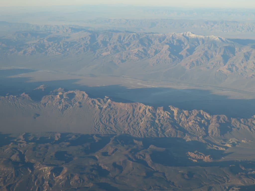
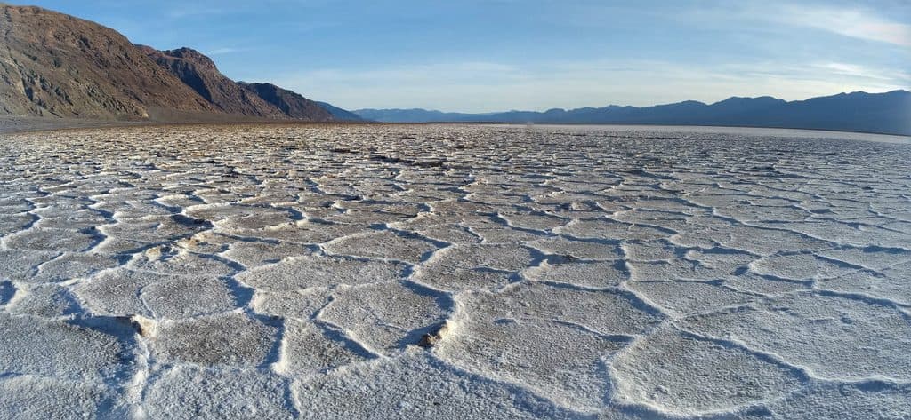
You get one of the West’s most dramatic contrasts in a single view: looking down toward Badwater Basin far below while standing on the park’s highest ridgeline. On clear days, hikers often report seeing both Badwater Basin and Mount Whitney from the summit. Along the way, those twisted, ancient bristlecone pines and open high-country meadows deliver a true alpine feel—hard to believe you’re in Death Valley.

Route Experience

From Mahogany Flat, the trail climbs steadily along the ridge, traversing beneath Bennett and Rodgers Peaks with big views opening and closing as you go. After the meadows and bristlecones, the grade stiffens into a series of rocky switchbacks. The summit itself is cramped—limited room to sit—so don’t count on spreading out for a long lounge up top.

Access and Logistics

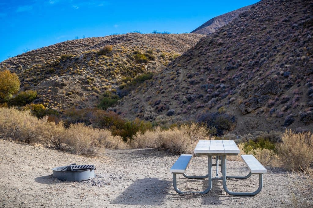
The final 1.5 miles of road to Mahogany Flat are steep, rough, and narrow; high-clearance (ideally 4x4) is recommended. In winter, that road often closes due to snow/ice. When that happens, start from the Charcoal Kilns instead, which adds about 3.2 miles round trip and roughly 1,200 feet of extra gain. There’s no water on the trail or at Mahogany Flat (pit toilets only), and no dogs are allowed. Day hikers don’t need a permit, but you do need to cover the park entry/fee.

Best Time to Hike

Spring and fall are the sweet spots—cooler temps, usually snow-free trail, and enough daylight for a comfortable 7–10 hour window. Winter can be beautiful but expect snow/ice at higher elevations and the longer approach from the Charcoal Kilns; carry traction if conditions warrant. Summer is generally a poor idea due to extreme heat at lower elevations—even if it’s cooler up high, the approach and overall exposure can be punishing. Regardless of season, start early for better light, cooler temps, and a bigger daylight buffer.

Tips and Reality Check

Bring all the water you need (think 3–4 liters per person) and real layers—wind and cold at 11,000+ feet can surprise people coming from the valley floor. Trekking poles help on the steeps and save knees on the descent. The trail is obvious, but this is a remote, self-sufficient day: offline maps/GPS are smart, and the park provides a GPX track. Altitude can sneak up on you—pace yourself and take breaks if you feel it. If the rough road or snow closure adds the Charcoal Kilns approach, budget the extra time and energy.

Bottom Line

If you’re fit and prepared, this is absolutely worth it: a bucket-list summit day with rare alpine character in the heart of the desert, ancient trees, and sweeping, unforgettable views.

Pros

  • Rare bristlecone pine groves and alpine meadows in the heart of Death Valley
  • On clear days you can see both Badwater Basin and Mount Whitney from one summit
  • Remote feel and often real solitude compared to the park’s roadside hotspots

Cons

  • Rough, high-clearance road to the trailhead—or extra miles from the Charcoal Kilns
  • No water anywhere on the route or at Mahogany Flat
  • Tiny summit area with limited space to rest

Parking

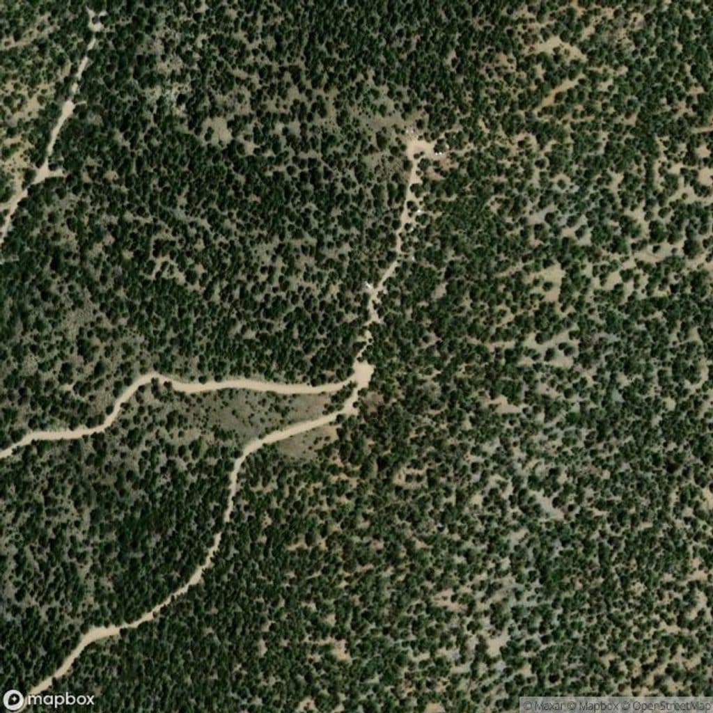
Park at Mahogany Flat Campground if your vehicle can handle the steep, rough final 1.5 miles; otherwise park at the Charcoal Kilns below and walk the road to the trailhead.

Caution

High elevation, wind, and cold are common; no water on route; road to the trailhead is rough and often closed by snow/ice in winter, adding distance and elevation; carry 3–4 liters, layers, and offline navigation; watch for altitude effects.

The Parkwolf tour guide sitting on a phone mounted in a car

Parkwolf Tour Guide

Like a tour guide in your car.

Bring Death Valley trail research into the car, with offline maps and stories that play as you drive.Download Parkwolf on the App Store