Thorndike Campground in Death Valley National Park

Campground · Death Valley National Park

Thorndike Campground

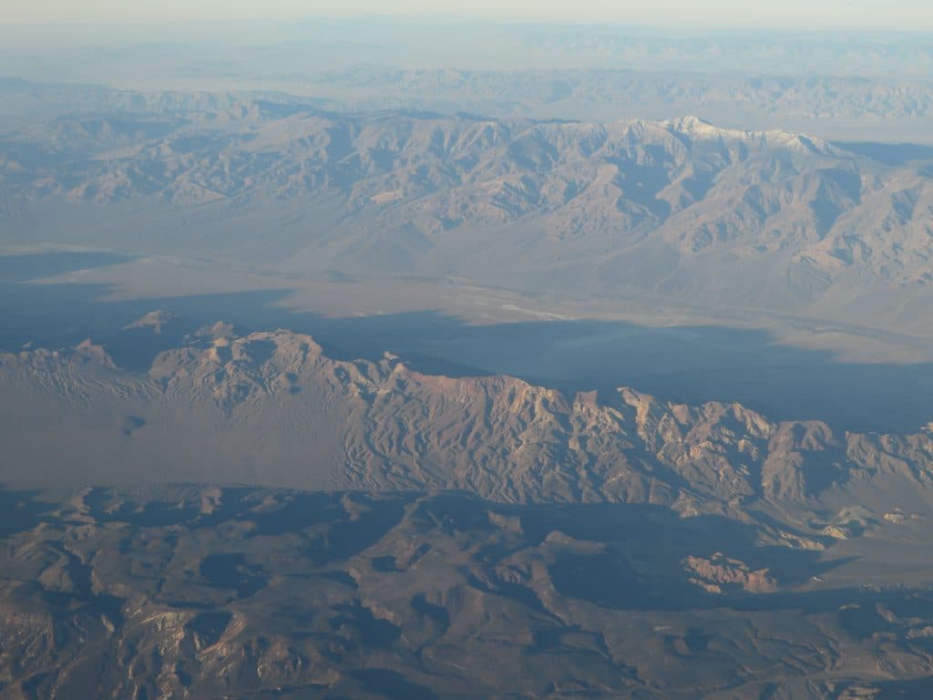
Tiny, cool, high-elevation hideout near Telescope Peak

Photo: National Park Service
Type
Campground
Nearest trail
0.5 mi
Audio stories
3 nearby
  • Restrooms
  • Picnic tables
  • Parking
  • Trailhead

Hear the audio tour

Mahogany Flat and Telescope Peak Trailhead

Overview

About Thorndike Campground

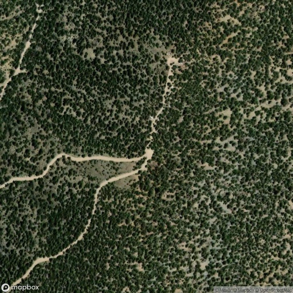
Thorndike is Death Valley’s low-key, high-elevation hideout: a tiny, primitive campground tucked among juniper and pinyon at roughly 7,400 feet. With just six first‑come, first‑served sites, it draws self‑sufficient campers who want cooler temps, real quiet, and star‑studded skies.

Why stop

  • Cooler, high-elevation escape from the valley heat
  • Quiet, secluded 6-site primitive campground
  • Handy base near the Telescope Peak trailhead

Heads up

  • No potable water; pack in everything
  • Rough access road; high-clearance/4x4 recommended
  • Very limited sites can fill on weekends

Map

Where it is

Loading the Death Valley map
Full map
CampgroundThorndike Campground36.23689, -117.07217
Keep this map with you offline in the Parkwolf app

Local know-how

Tips for visiting Thorndike Campground

  1. Arrive midweek and before sunset to snag one of the six sites.

  2. Bring all your water and pack out all trash—there are no services.

  3. Check road conditions; high-clearance (and sometimes 4x4) is wise after storms.

  4. Expect cold nights even in summer; pack warmer layers and a solid sleeping bag.

  5. Download offline maps—there’s no cell service up here.

Plan your stop

Before you go

Best time to visit

  • Spring and fall offer cool days and crisp nights; snow or closures can affect access outside this window.
  • Midweek for maximum solitude; weekends and holidays can draw groups.
  • Arrive before sunset—sites are limited and shaded light can fade early behind the ridge, making setup chilly.

Campsites & Amenities

Sites are basic but functional: picnic tables, established fire rings (when fires are allowed), and a clean vault toilet. There’s no running water, no store, and no trash service at times—pack in all water and pack everything out. Cell service is essentially nonexistent, so download maps before you go.

3 active Death Valley alerts

  • ClosurePark roads closed or hazardousPlan around multiple closed roads and use extra caution on damaged routes. - Paved roads: North Highway and Beatty Cut-off are closed due to flooding and debris from the October 22 storm.Official details
  • ClosureSaline Valley Lower Springs closed after wildfireLower Springs at Saline Valley Warm Springs remains closed after the September 15 wildfire; stay out because the fire left safety hazards, including potential hazardous chemicals.Official details
See all 3 alerts
A park ranger sits on a dash-mounted phone, talking, as Parkwolf’s Tour Guide plays “Army Cutworm Moths: A Grizzly Bear Buffet” on Grand Loop Road below Dunraven Pass in Yellowstone
Parkwolf Tour GuideThe highest, rockiest slopes around here are a summer buffet for grizzly bears.

Death Valley Tour Guide

Your drive to Thorndike Campground, narrated.

Parkwolf is a GPS audio tour guide for Death Valley National Park. As you drive, it chimes in with what’s ahead: hidden gems, upcoming stops, history, geology, and wildlife, right through your car’s speakers.

See the Death Valley audio tour

Recorded for this area

Mahogany Flat and Telescope Peak Trailhead
Listen
“You're making the climb now toward Mahogany Flat, a completely different world from the valley floor. Up here at over 8,000 feet, you'll be in a forest of pinyon and ancient bristlecone pines.”

Plays on the road 0.5 mi from Thorndike Campground in the Parkwolf Death Valley Tour Guide.

More stories near here in the app

  • Historic Charcoal Kilns in the Panamint Mountains
  • Pinyon Pines: The High-Elevation Pantry
  • 130 audio storiesacross Death Valley’s roads, triggered by GPS as you drive
  • Wildlife heatmapsfor Bighorn Sheep, Desert Tortoise, Coyote, and 13 more
  • Works offlinemaps, 36 trails, 114 places, and audio download before you lose signal
  • CarPlay readysimple controls built for the drive
★★★★★
“Fantastic app with many points of information… It’s great to just turn on while you’re driving and it gives you an audio tour of the national Park. We love it!!!!”
JMJamesApp Store review
Download Parkwolf on the App StoreGet Parkwolf on Google Play

4.7 from 8,600+ ratings

Guide

More about Thorndike Campground

Setting & VibeExpect a forested "sky island" feel rather than desert flats.

Expect a forested "sky island" feel rather than desert flats. Nights are notably colder up here—even in summer—so come prepared. The small size keeps things peaceful most of the time, though holiday weekends can bring groups; midweek stays are blissfully calm.

Access & VehiclesReaching Thorndike requires a rough mountain road.

Reaching Thorndike requires a rough mountain road. High‑clearance is recommended, and 4x4 can be smart after storms. Trailers and longer RVs are not advised due to tight turns and uneven surfaces. Always check current road conditions before heading up.

Nearby Trails & Things to DoThis is a strategic staging area for hiking the Panamint Range, with the Telescope Peak…

This is a strategic staging area for hiking the Panamint Range, with the Telescope Peak trailhead close by and the historic Charcoal Kilns just down the road. On clear nights, the dark skies make for standout stargazing.

WildlifeAt this elevation you’re more likely to encounter mule deer, birds, and small mammals than you…

At this elevation you’re more likely to encounter mule deer, birds, and small mammals than you are on the valley floor. As always in the desert, keep food secured and be ready for bugs when they’re in season.

Know Before You GoBring all your water—there’s none onsite.
  • Bring all your water—there’s none onsite.
  • Fire restrictions change seasonally; when bans are in effect, only gas stoves/grills with an on/off valve are allowed.
  • Pack out all trash. There’s no resupply nearby, so stock up in the lowlands before you climb.

Wildlife

Wildlife in Death Valley

All Death Valley wildlife maps

Sighting maps show where each species has been reported across Death Valley. Wildlife moves, so no sighting is guaranteed.

Parkwolf’s Death Valley ranking

Top sights in Death Valley

All 114 places
  1. 1Badwater BasinSight
  2. 2Dante's ViewSight
  3. 3Mesquite Flat Sand DunesSight
  4. 4Zabriskie PointSight
  5. 5Golden CanyonSight
  6. 6Artists PaletteSight

Take Parkwolf to Death Valley.

The audio tour guide for the drive, plus offline maps, trails, and wildlife heatmaps for when the signal drops.

4.7 from 8,600+ ratings

Download Parkwolf on the App StoreGet Parkwolf on Google Play