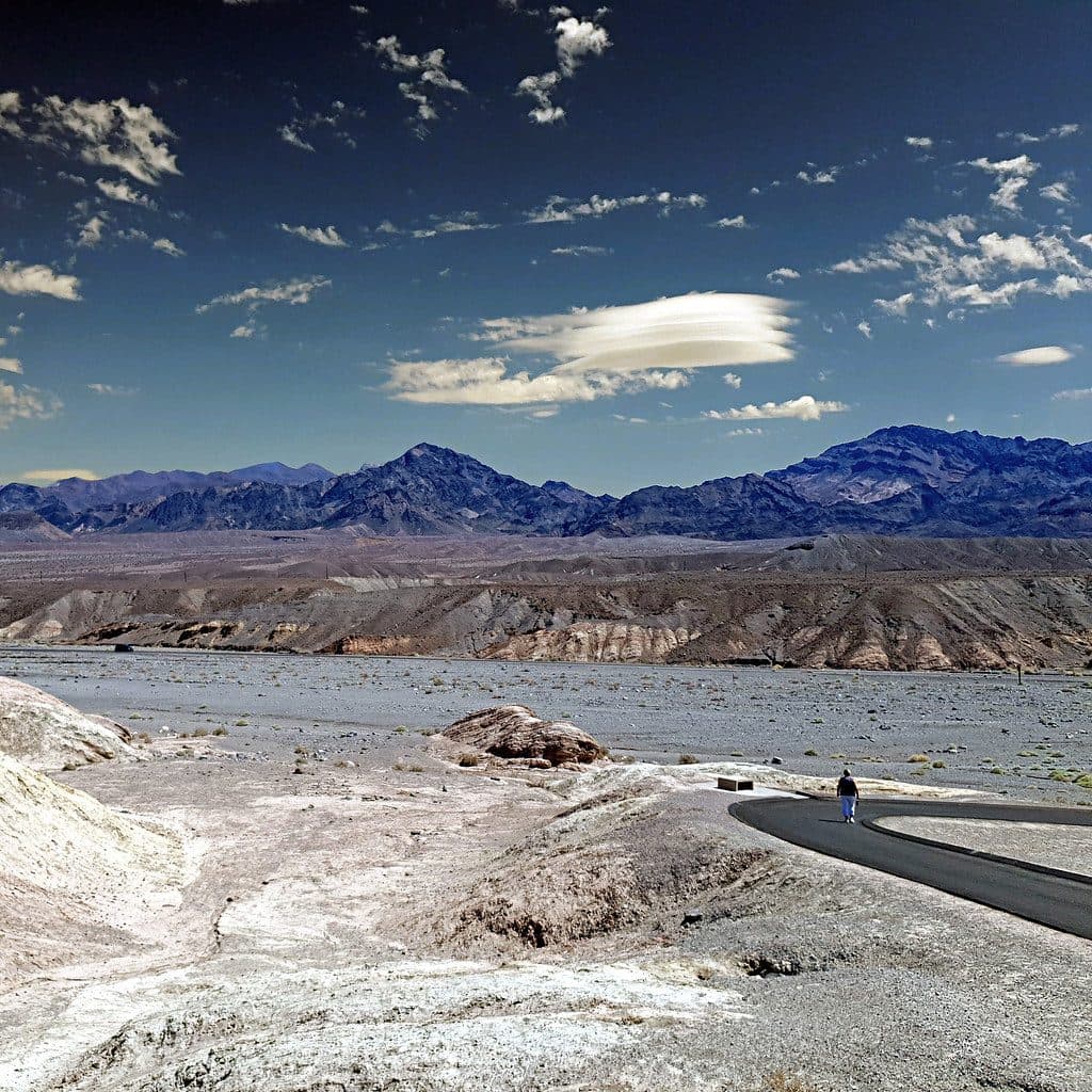
Best time to visit
Start early for cooler temps, softer light in the canyon, and fewer vehicles in the Narrows. Avoid visiting after storms until conditions are confirmed open. Spring can add wildflowers to the approach when the year cooperates.
Sight · Death Valley National Park
One-way canyon drive through narrows, ghost town, and rock art
Overview
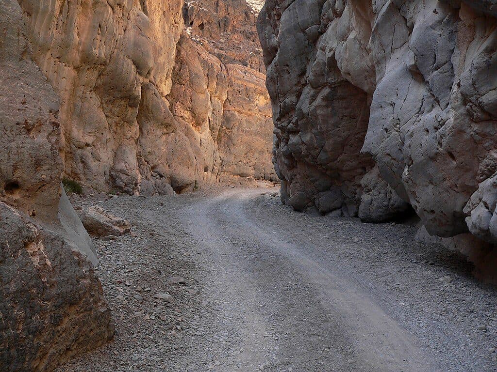
Titus Canyon slices through the Grapevine Mountains on Death Valley’s east side and delivers a greatest-hits tour of the park’s backcountry: twisting mountain grades, a narrow slot-like finale, and layers of rock that are hundreds of millions of years old. The experience is anchored by a 27‑mile, one‑way dirt road (east to west) that starts near Beatty, Nevada, and exits at the canyon mouth on the valley floor.
If you’re up for a rough dirt road and the planning that comes with a one‑way route, Titus Canyon is one of the park’s most rewarding adventures—an A‑list blend of geology, history, and pure desert drama.
 Parkwolf’s verdictIs It Worth It?
Map
Local know-how
Enter from Nevada Highway 374; the road is one-way east to west only.
Budget 2–3 hours for the drive and extra time to explore Leadfield and petroglyphs.
Carry more water than you think you need; there are no services anywhere on the route.
Check road conditions after rain—washouts and flash floods can close the canyon.
Hikers can start from the west at the canyon mouth to enjoy the Narrows on foot.
Plan your stop

The highest, rockiest slopes around here are a summer buffet for grizzly bears.
Death Valley Tour Guide
Parkwolf is a GPS audio tour guide for Death Valley National Park. As you drive, it chimes in with what’s ahead: hidden gems, upcoming stops, history, geology, and wildlife, right through your car’s speakers.
See the Death Valley audio tourRecorded for this place
Titus Canyon: A Backcountry Drive or Hike“That massive opening in the mountains ahead is the mouth of Titus Canyon, one of the park's premier backcountry adventures.”
Plays as you drive up to Titus Canyon in the Parkwolf Death Valley Tour Guide.
More stories near here in the app
“Fantastic app with many points of information… It’s great to just turn on while you’re driving and it gives you an audio tour of the national Park. We love it!!!!”


Guide
Most visitors experience Titus by vehicle: the road is rough, remote, and one-way only from east to west. High‑clearance is recommended. If you’d rather walk, you can access the canyon on foot from the west at its mouth and hike up into the famed Narrows, a twisty 1.5‑mile section where the walls close in dramatically.
Although the Grapevine Mountains were uplifted relatively recently, many rocks exposed in Titus Canyon are ancient Cambrian limestone. Expect visible folds, anticlines, synclines, megabreccia, and even stromatolites preserved in the rock. Human stories layer in too—Leadfield’s boom‑and‑bust mining remnants and petroglyphs that hint at far older lifeways.
Keep your eyes peeled for desert wildlife; bighorn sheep are occasionally spotted deeper in the canyon. Sightings are hit‑or‑miss and depend on season and time of day.
Wildlife
 71 sightingsBighorn SheepMost seen around 6 PMSighting map
 101 sightingsDesert TortoiseMost seen around 8 AMSighting map
 458 sightingsCoyoteMost seen around 6 PMSighting map
 28 sightingsFeral BurroMost seen around 5 PMSighting map
 30 sightingsMule DeerMost seen around 7 PMSighting map
 62 sightingsKit FoxMost seen around 7 PMSighting map
Sighting maps show where each species has been reported across Death Valley. Wildlife moves, so no sighting is guaranteed.
Keep exploring
 EasyTitus Canyon Narrows3 mi · 1.5 hr · 0.1 mi awayEasy desert walk into Titus Canyon’s narrowest limestone walls.
 ModerateFall Canyon Trail6.1 mi · 3.5 hr · 0.1 mi awayRemote, unmaintained out-and-back into colorful Fall Canyon narrows from the Titus Canyon trailhead.
Parkwolf’s Death Valley ranking
The audio tour guide for the drive, plus offline maps, trails, and wildlife heatmaps for when the signal drops.