
Place · 1 mi away
Challenging
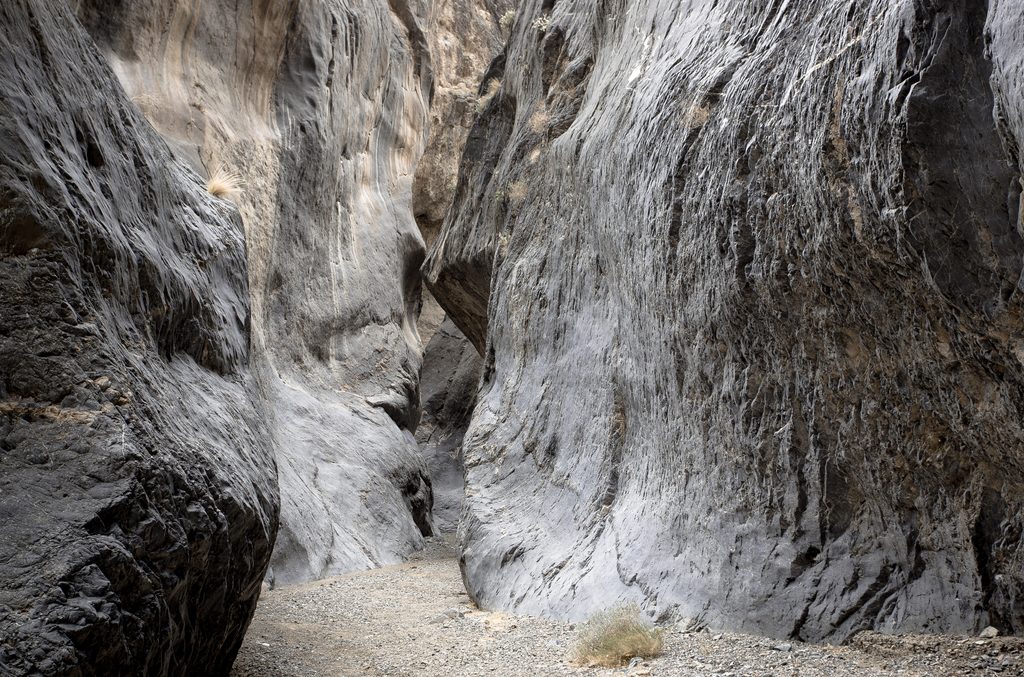
Cottonwood Canyon is the quieter, wilder half of Death Valley’s classic Cottonwood–Marble Canyon experience. Expect long stretches of wash walking, towering desert walls, and very few people. Most hikers link Cottonwood with neighboring Marble Canyon as a multi‑day loop. That loop runs roughly 26–28 miles total and is the distance referenced here. If you only hike Cottonwood out‑and‑back, distance varies based on how far you can drive the rough road and where you turn around.
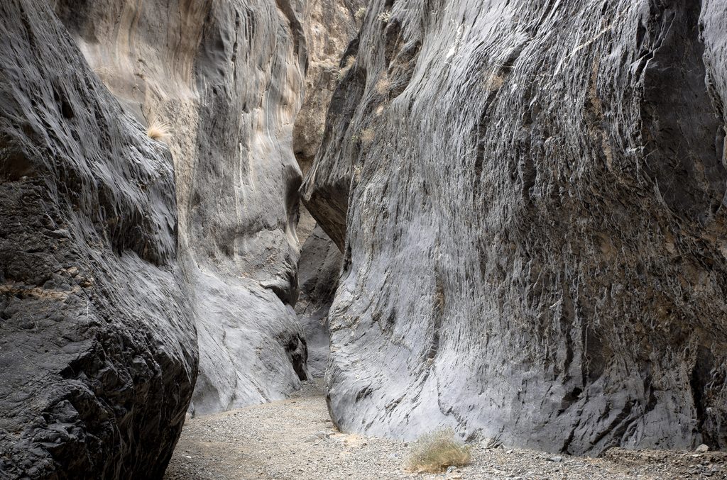
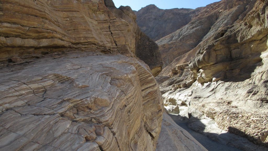
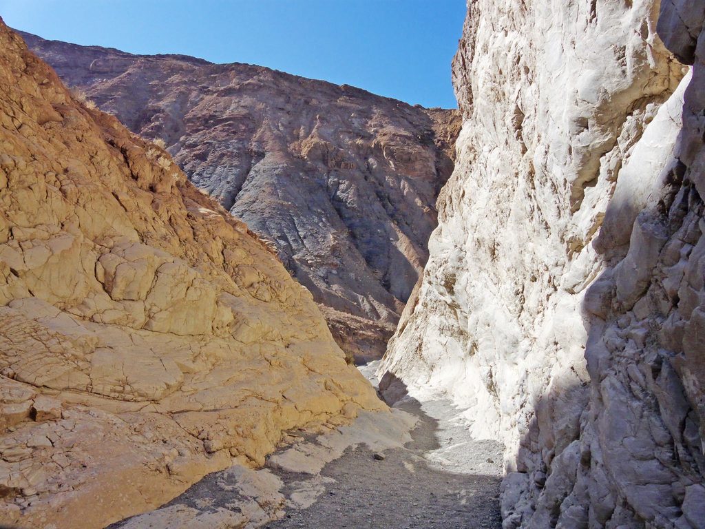
This canyon delivers textbook Death Valley geology: colorful, layered cliffs, occasional narrows, and a sweeping desert backdrop. About 8 miles up‑canyon sits Cottonwood Springs—a genuine oasis with a grove of cottonwoods and welcome shade. Watch for traces of early 20th‑century mining activity tucked into the landscape. With luck, you might spot wild horses or Desert Bighorn Sheep.
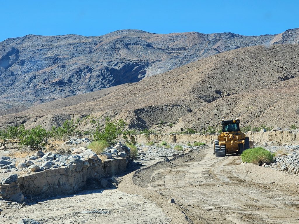
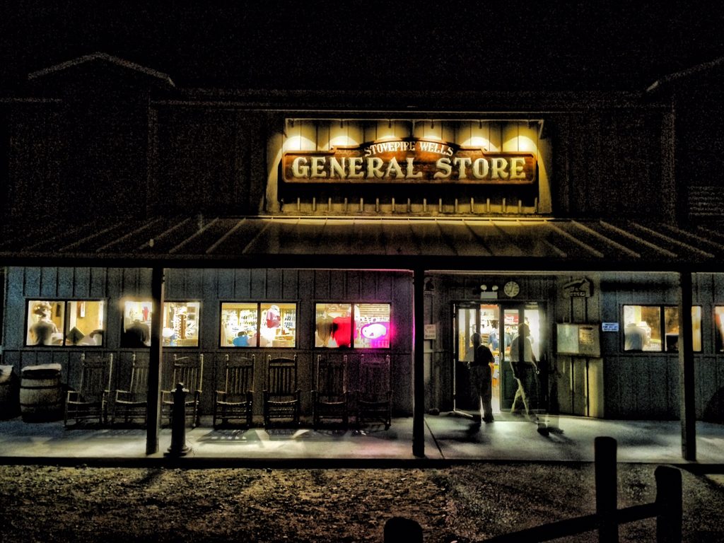
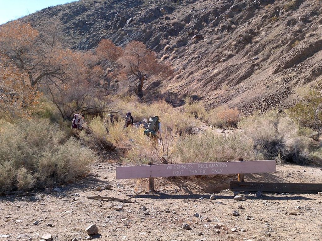
The route begins near the junction of Cottonwood Canyon Road and Marble Canyon Road, west of Stovepipe Wells. Initial miles follow a rough dirt road before transitioning to sandy and rocky wash bottoms with no constructed tread. Navigation gets trickier beyond Cottonwood Springs where the path fades; a good map and GPS make this a far better day. Camping is commonly done near Cottonwood Springs and in Deadhorse Canyon on the loop.
This is a serious backcountry hike: long miles on loose surfaces, little shade, and sections of route‑finding. Plan for a strenuous, multi‑day outing if you do the loop, or a committing day/micro‑overnight if you turn around at the springs. It’s best suited to experienced hikers comfortable with desert navigation and water planning.
Water is scarce and seasonal. Cottonwood Springs is the most reliable source along the canyon, but always confirm current conditions and treat everything. Do not bank on other seasonal flows—especially in dry periods. Summer heat is dangerous here; even in cooler months, nights can be cold.
Go in fall, winter, or early spring for tolerable temperatures and the best chance of flow at Cottonwood Springs. Start early for cooler morning temps and softer canyon light. Avoid summer.
Park at the junction of Cottonwood Canyon Road and Marble Canyon Road west of Stovepipe Wells. High‑clearance (preferably 4WD) is recommended for the final miles; if conditions or your vehicle aren’t up to it, park earlier and walk the road.
Extreme heat outside cool seasons; scarce, seasonal water (treat all); unmarked route with tricky navigation beyond Cottonwood Springs; rough access road. Cold nights are common in shoulder seasons.
Place · 1 mi away
Place · 8 mi away
Place · 8.3 mi away
Place · 8.4 mi away
Challenging · 0 mi away
Moderate · 1 mi away
Moderate · 9.3 mi away
Challenging · 9.3 mi away

Parkwolf Tour Guide
