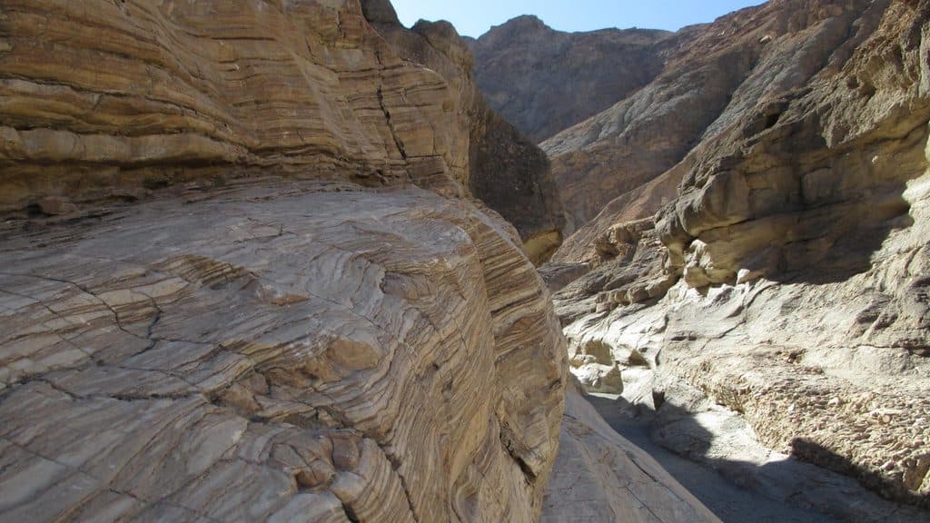
Start at the large gravel parking area at the end of Mosaic Canyon Road and follow the canyon route toward the reported MOSCN1 exit. Continue south through the rough cross-country line described by the MOSCN2, MOSCN3, MOSCN4, and MOSCN5 waypoints, then traverse the saddle and ridge system by ODROCK, MOSCN6, and MOSCN7 toward PT6670. The final ridge leads to Tucki’s summit and its broad views over Death Valley, the Panamint and Cottonwood ranges, and the Sierra Nevada on clear days. The route returns along the same physical corridor; the stored line is the parking-to-summit route once, while the listed distance is the full out-and-back walk.