Overview
About Llyn Trawsfynydd
Why stop
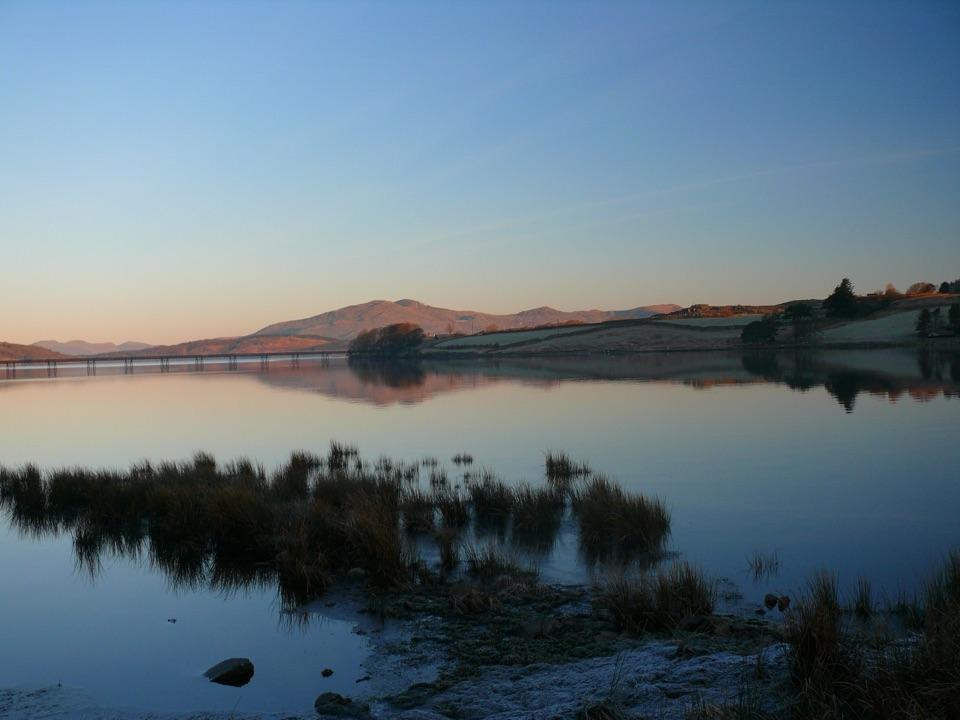
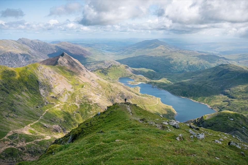
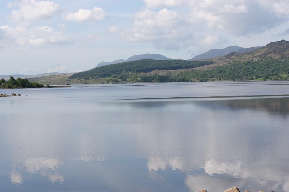
- Wide mountain-backed water and long views
- Wildlife and water activities in one stop
Heads up
- Roadside sections break the lakeside quiet
- The decommissioned station remains visible
Llyn Trawsfynydd is a large reservoir, about 1,200 acres, sitting in open moorland country beside the A470 between Porthmadog and Dolgellau. It is a man-made lake, held by four dams and first filled for the Maentwrog hydroelectric scheme, which came into operation in 1928. The water level was raised in the early 1960s to serve the Trawsfynydd nuclear station, built from 1959 and completed in the late 1960s. That station stopped generating in 1991, was defuelled by 1997, and is now a decommissioning site rather than a place to visit.
 Parkwolf’s verdictWhy stop
Map
Where it is
Loading the Eryri map
Full map
The highest, rockiest slopes around here are a summer buffet for grizzly bears.
Eryri Tour Guide
Your drive to Llyn Trawsfynydd, narrated.
Parkwolf is a GPS audio tour guide for Eryri National Park. As you drive, it chimes in with what’s ahead: hidden gems, upcoming stops, history, geology, and wildlife, right through your car’s speakers.
See the Eryri audio tourRecorded for this place
Llyn Trawsfynydd0:00 / 0:28
“You're approaching Llyn Trawsfynydd, a broad reservoir beneath the mountains. The decommissioned nuclear power station still marks the shore, so expect an industrial presence alongside the mountain views.”
Plays as you drive up to Llyn Trawsfynydd in the Parkwolf Eryri Tour Guide.
More stories near here in the app
- One Lake, Two Kinds of Power
- When the Lake Ran Warm
- The Trout That Were Here First
- The Door Gerald Kept Open
- 298 audio storiesacross Eryri’s roads, triggered by GPS as you drive
- Wildlife heatmapsfor Grey Heron, European Badger, Tawny Owl, and 10 more
- Works offlinemaps, 122 trails, 84 places, and audio download before you lose signal
- CarPlay readysimple controls built for the drive
“Fantastic app with many points of information… It’s great to just turn on while you’re driving and it gives you an audio tour of the national Park. We love it!!!!”


Guide
More about Llyn Trawsfynydd
Walking and cyclingA walking and cycle track runs around the water, and the marked cycle loop is roughly eight…
- A walking and cycle track runs around the water, and the marked cycle loop is roughly eight miles, which you can start from Trawsfynydd village or the Lake Centre.
- Cyclists should expect one steep section of about 400 m near the main dam; the rest is easier going.
- On foot, route guides put the full circuit at about 8.6 to 8.8 miles and anywhere from 3.5 to 5 hours, with difficulty rated easy to moderate depending on who you ask. Treat it as a half-day outing rather than a stroll.
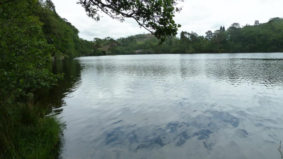
- The circuit mixes lake views, woodland and mixed paths with some roadside walking, including stretches near the A470, and crosses a narrow footbridge at the southern end.
- Dogs are welcome on a lead.
Fishing and paddlingThe lake holds natural wild brown trout, regularly stocked rainbow trout, plus perch, rudd and…
- The lake holds natural wild brown trout, regularly stocked rainbow trout, plus perch, rudd and pike, and is one of the better fishing waters in the national park. Fishing is managed by the Prysor Angling Association, with a fleet of boats available.
- You need the appropriate permit and a national rod licence.
- Canoeing and kayaking are possible, but check current permission and equipment rules with the lake operator before launching.
WildlifeExpect varied waterfowl across the open water and margins, with otters also present.
Expect varied waterfowl across the open water and margins, with otters also present. Ospreys may fish here in the warmer months, though a sighting is never guaranteed. Bring binoculars and be patient near quieter margins.
PracticalitiesThe Lake Centre (Canolfan Prysor) is the main visitor hub, with a café, fishing facilities,…
- The Lake Centre (Canolfan Prysor) is the main visitor hub, with a café, fishing facilities, toilets and parking. Check availability with the centre if you need equipment or a boat.
- There is also a lake car park near the southern end of the circuit, close to the footbridge. Parking arrangements can vary, so have a plan B.
Honest drawbacksParts of the circuit are beside traffic, including the A470, so it is not a fully traffic-free…
- Parts of the circuit are beside traffic, including the A470, so it is not a fully traffic-free loop.
- Muddy sections are common in wet weather.
- The decommissioning site on the shore is a visible industrial presence in many views, and some visitors find it jars with the mountain setting.
- The loop is longer and hillier in places than it looks on a map, so judge the distance before setting off with young children.
Wildlife
Wildlife in Eryri
 80 sightingsGrey HeronMost seen around 7 AMSighting map
 10 sightingsEuropean BadgerMost seen around 8 PMSighting map
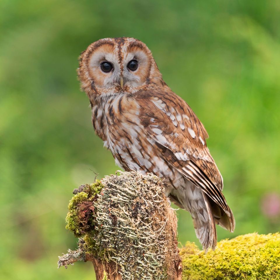 17 sightingsTawny OwlMost seen around 6 AMSighting map
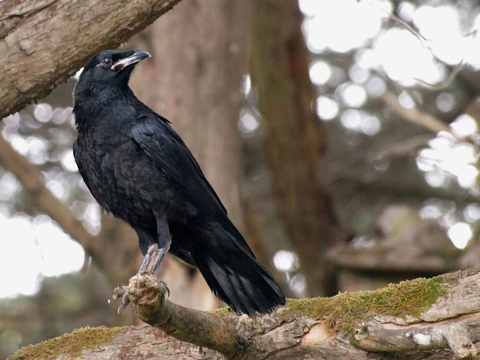 36 sightingsCommon RavenMost seen around 8 AMSighting map
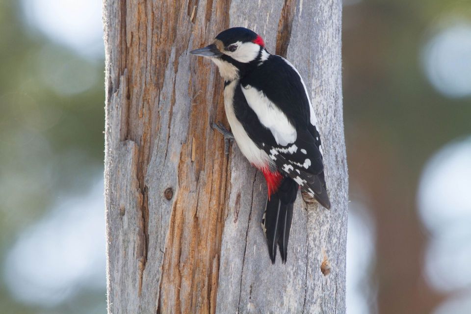 21 sightingsGreat Spotted WoodpeckerMost seen around 7 AMSighting map
 18 sightingsEuropean RabbitMost seen around 7 AMSighting map
Sighting maps show where each species has been reported across Eryri. Wildlife moves, so no sighting is guaranteed.