Parking
Use Trawsfynydd Lake Car Park on the south-east side of the reservoir, beside the village. The mapped loop starts here; do not plan on using the old lake footbridge.
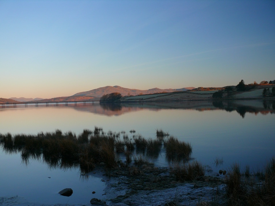
Eryri National Park, WA
Full circuit of Wales's largest reservoir, with one sharp dam climb
Overview
This is a loop, and the complete visitor distance is 8.6 miles / 13.9 km. That figure is the full circuit of Llyn Trawsfynydd starting and finishing at Trawsfynydd Lake Car Park on the south-east side of the reservoir, not a one-way or out-and-back measurement. Allow about 4 to 5 hours depending on pace and how long you linger at the shoreline viewpoints. The car park is surfaced and mapped as free.
Map & elevation
Plan your hike

The highest, rockiest slopes around here are a summer buffet for grizzly bears.
Eryri Tour Guide
Parkwolf is a GPS audio tour guide for Eryri National Park. As you drive, it chimes in with what’s ahead: hidden gems, upcoming stops, history, geology, and wildlife, right through your car’s speakers.
Recorded for this trailhead
Llyn Trawsfynydd“You're approaching Llyn Trawsfynydd, a broad reservoir beneath the mountains.”
Plays as you drive up to this trailhead in the Parkwolf Eryri Tour Guide.
More stories near here in the app
“Fantastic app with many points of information… It’s great to just turn on while you’re driving and it gives you an audio tour of the national Park. We love it!!!!”


Trail guide
From the car park the route works around the south and west shores, past the woodland of Coed y Rhygen, on to the main dam, then through the power-station area and past the visitor centre before returning along the north and east shores to the start. The reward is the way the reservoir keeps changing character: open water and islands on one side, wooded banks on another, with mountain skylines behind. The lake is a man-made reservoir formed by dams and is the largest in Wales, so expect engineered edges alongside the scenery. One navigational note: after the power station, continue straight ahead rather than following the national cycle route signs toward Gellilydan.
Overall this sits at the easier end of moderate, though the length asks for ordinary hiking fitness. Most of the surface is made or gravel, mixed with public-footpath sections, service and unclassified roads, and a short paved roadside stretch on the A470 side. Footing is generally straightforward in walking shoes. The one sustained effort is a steep section of roughly 400 m near the main dam, and total cumulative ascent works out at around 1,250 feet across the circuit. The combination of distance, some road walking and that climb makes it more of a day out than a casual lakeside amble.
The long Trawsfynydd Lake Footbridge across the lake has been closed since structural-safety problems were identified. The most recent access-forum discussion refers to intended dismantling with no replacement confirmed, and the bridge is not a public right of way. Plan your day without it. The circuit itself remains walkable and signed, using the lakeside and road route around the water instead, which is what the 8.6 mile distance reflects.
This is a marked cycling and walking circuit, so expect to meet riders, particularly on the gravel sections. Signage is good and crowd levels are moderate rather than heavy. Treat it as a sociable, mixed-use route around a working reservoir rather than a quiet mountain path.
Waterfowl are common around the margins of the lake, and ospreys have been known to visit, though nothing is guaranteed on any given walk. Dogs are welcome on the public-footpath sections under normal Eryri rules: keep them under close control at all times, and put them on a short lead near livestock and wildlife. Where the route touches open-access land, a lead of no more than 2 m is required from 1 March to 31 July.
Wildlife
 77 sightingsGrey HeronMost seen around 7 AMSighting map
 17 sightingsTawny OwlMost seen around 6 AMSighting map
 32 sightingsCommon RavenMost seen around 8 AMSighting map
 21 sightingsGreat Spotted WoodpeckerMost seen around 7 AMSighting map
 18 sightingsEuropean RabbitMost seen around 7 AMSighting map
 161 sightingsViviparous LizardMost seen around 10 AMSighting map
Sighting maps show where each species has been reported across Eryri. Wildlife moves, so no sighting is guaranteed.
Keep exploring
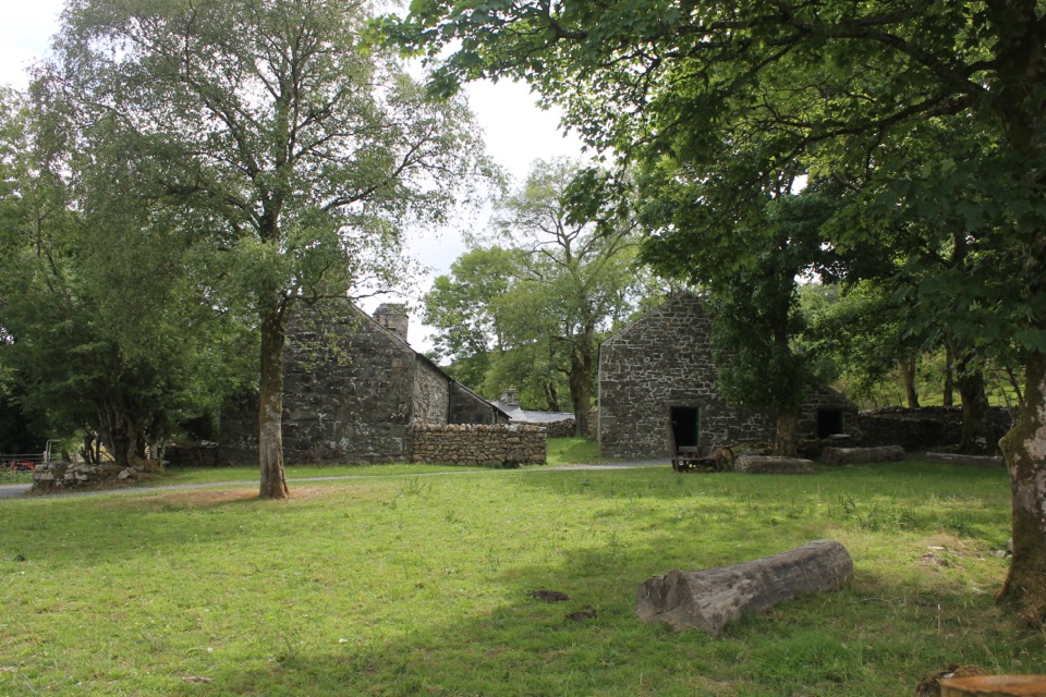 EasyRhos Grwm, Yr Ysgwrn1 km · 30 min · 1.8 km awayA one kilometre farm loop past a poet's historic farmhouse
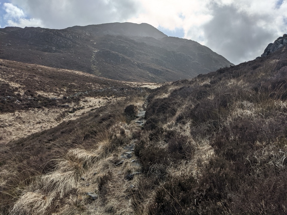 ModerateBwlch Drws Ardudwy6.8 km · 3 hr · 5 km awayBoulder-strewn climb to the gap between Rhinog Fawr and Rhinog Fach
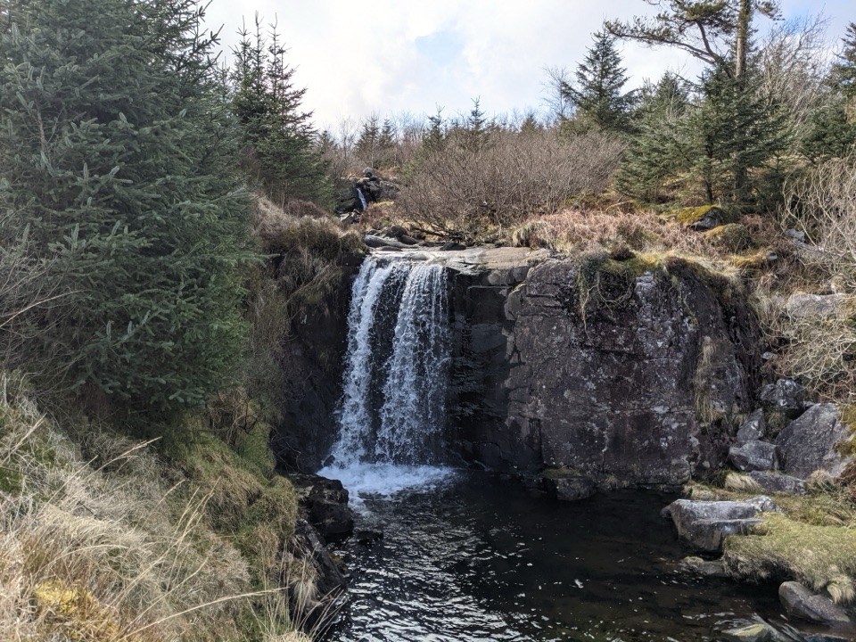 EasyGraigddu Woods5 km · 1 hr · 5 km awayQuiet plantation loop to a small waterfall and southern mountain views
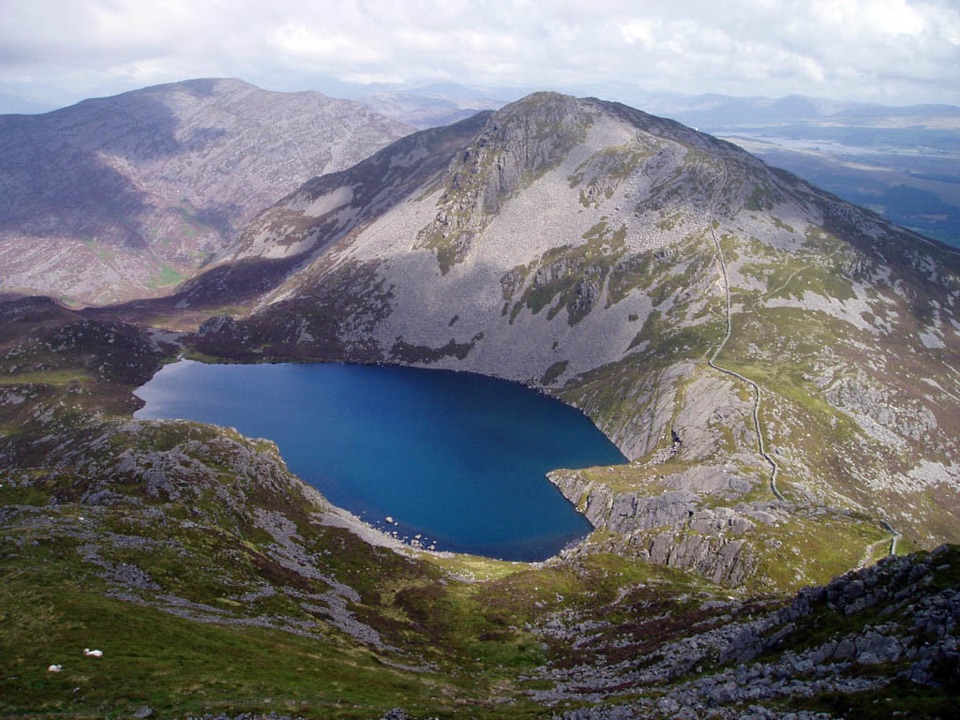 ChallengingRhinog Fach and Y Llethr Circular14.5 km · 6.2 hr · 5 km awayTwo rugged summits above dark Llyn Hywel on rough, pathless ground
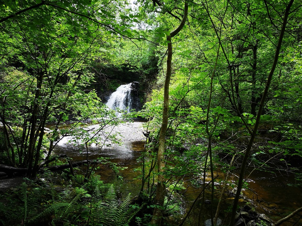 ChallengingRhaeadr Ddu Waterfall Walk (Ceunant Llennyrch)1.6 km · 1 hr · 6 km awaySteep mossy oakwood loop down to a hidden waterfall and ravine
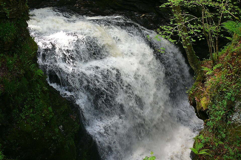 ChallengingRhaeadr Cynfal Waterfall Walk2.3 km · 1 hr · 7.1 km awayShort, steep out-and-back to a Victorian platform above a mossy gorge
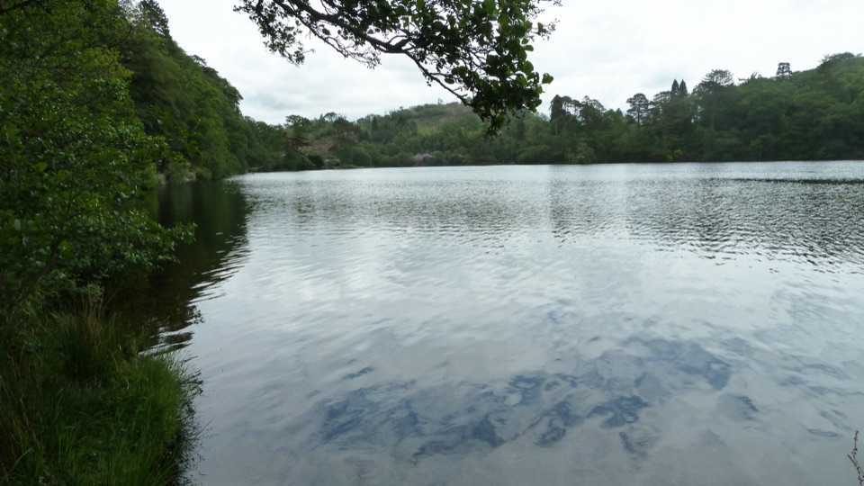 EasyDyffryn Maentwrog Woods and Llyn Mair Path3 km · 1 hr · 7.6 km awayGentle hour circuit to a wooded lake, small dam and picnic glades
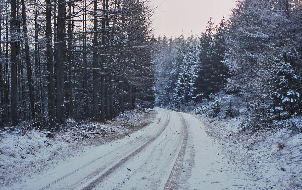 EasyCefndeuddwr Trail1.3 km · 45 min · 8 km awayEasy surfaced loop through boulder woodland to a picnic viewpoint
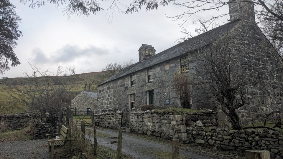 Sight · 1.9 km awayYr YsgwrnA preserved farmhouse where Welsh poetry meets wartime memory
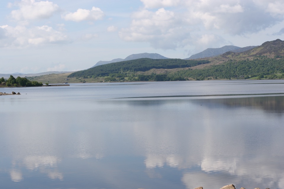 Sight · 2.2 km awayLlyn TrawsfynyddOspreys, wild brown trout and an eight-mile loop around dammed water
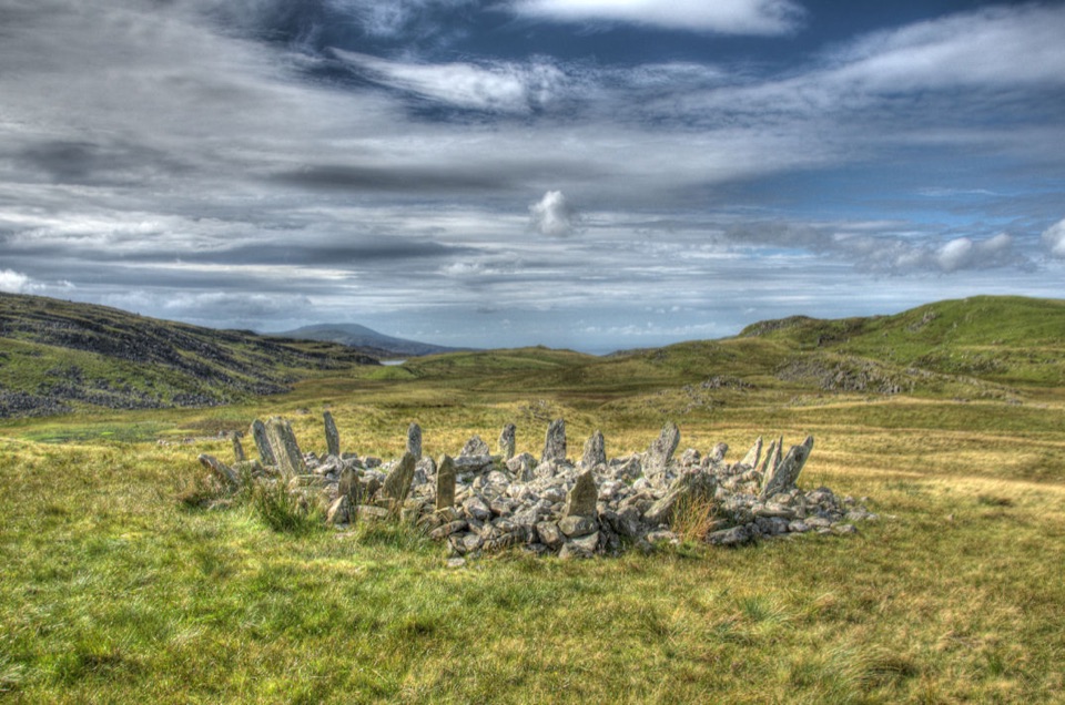 Sight · 5.6 km awayBryn Cader FanerA spiky Bronze Age cairn crowning a lonely Rhinogydd hillside
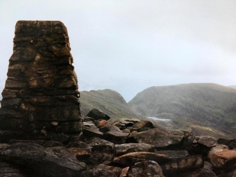 Sight · 7.4 km awayRhinog FawrA rough-edged summit with big views and a wilder feel.
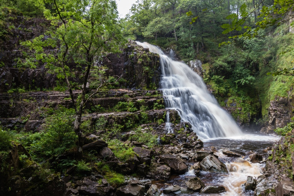 Sight · 7.8 km awayPistyll CainA thunderous forest waterfall reached by an easy-moderate river walk
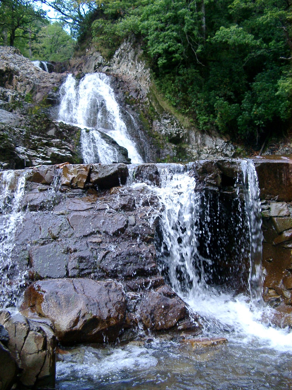 Sight · 7.9 km awayRhaeadr MawddachA rain-fed cascade beside old gold workings in deep woodland
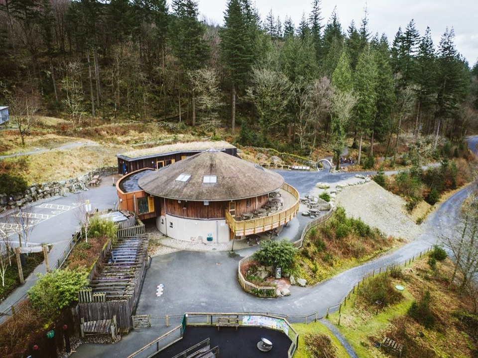 Visitor center · 8.1 km awayCoed y Brenin Visitor CentreBritain’s first purpose-built mountain-bike centre, now a quiet trailhead
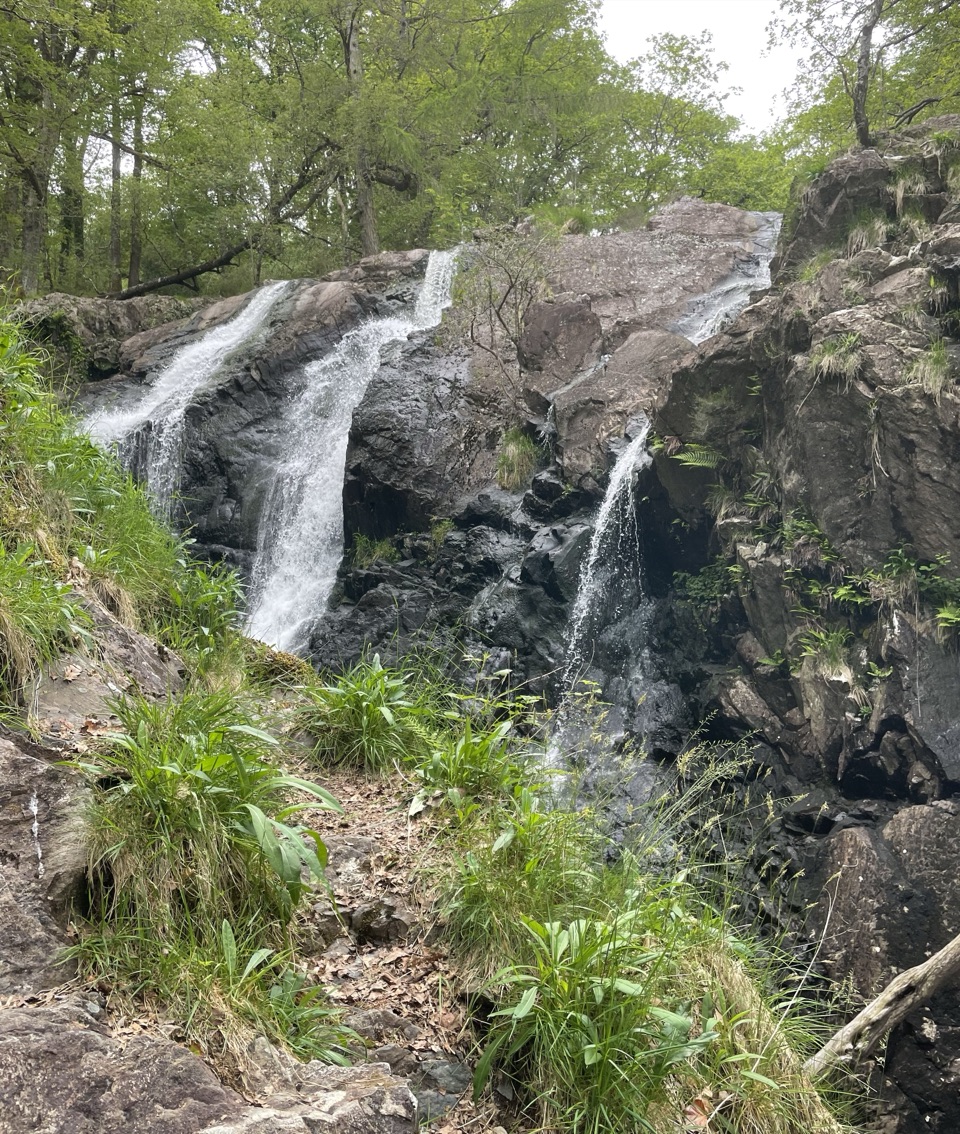 Sight · 10.5 km awayRhaeadr Ddu (Black Falls)Two mossy cascades drop about 60 feet through ancient oak woodland
Parkwolf’s Eryri ranking

The audio tour guide for the drive, plus offline maps, trails, and wildlife heatmaps for when the signal drops.




