Parking
There is no car park at the reserve. Park considerately in Llan Ffestiniog village and follow the public footpath signposted to Cynfal Falls.
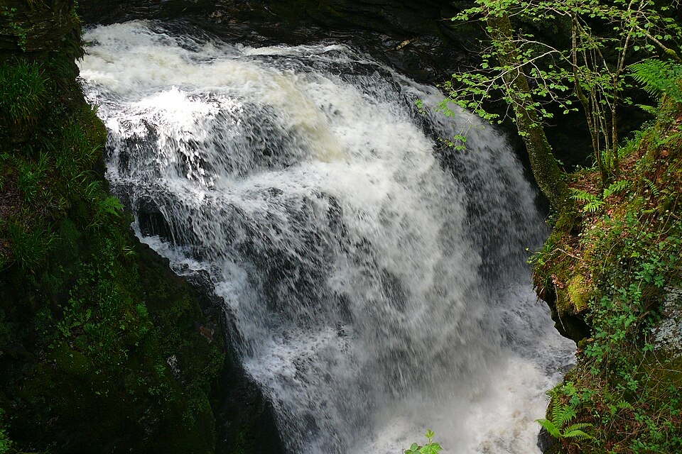
Eryri National Park, WA
Short, steep out-and-back to a Victorian platform above a mossy gorge
Overview
Map & elevation
Plan your hike

The highest, rockiest slopes around here are a summer buffet for grizzly bears.
Eryri Tour Guide
Parkwolf is a GPS audio tour guide for Eryri National Park. As you drive, it chimes in with what’s ahead: hidden gems, upcoming stops, history, geology, and wildlife, right through your car’s speakers.
Recorded for this trailhead
Rhaeadr Cynfal from Llan Ffestiniog“You're approaching Llan Ffestiniog's footpath to Rhaeadr Cynfal, where a restored Victorian platform looks into a deep waterfall gorge.”
Plays as you drive up to this trailhead in the Parkwolf Eryri Tour Guide.
More stories near here in the app
“Fantastic app with many points of information… It’s great to just turn on while you’re driving and it gives you an audio tour of the national Park. We love it!!!!”


Trail guide
An out-and-back walk from Llan Ffestiniog village down into Ceunant Cynfal National Nature Reserve to Rhaeadr Cynfal and back the same way. The official distance is 1.4 miles (2.2 km) there and back with about 300 feet (90 m) of climb and roughly an hour on the ground. It is graded Strenuous, and that grade is about terrain and steepness rather than length.
Pick up the public footpath from the village, signposted to Cynfal Falls, and follow it to the reserve entrance. From there the path drops into the ravine and works along the gorge to the documented waterfall and viewing area, where a restored Victorian viewing platform looks out over the falls. That platform is the payoff and the turnaround point. Return by the same corridor, which means the climb back out is all in the second half.
The ground is rugged, with rocky outcrops, cliffs and crags close to the line of the path. Rock surfaces are extremely slippery when wet, and the woodland here is humid and damp by nature, so expect greasy footing rather than dry rock. Some sections of path are unprotected beside sheer drops, so keep children and dogs close and do not step off the path for a better angle. There is no mobile phone reception in the gorge, so tell someone your plan.
The trail is not waymarked, so follow the village signposting to the falls and then the obvious path corridor through the reserve. There is no car park at the reserve itself, so park considerately in Llan Ffestiniog and walk out from the village.
This is a deep ravine cut through ancient oak woodland, and the interest is as much underfoot as overhead. Glacial meltwater shaped the hanging valleys, potholes, slots and arches, including the rock feature known as Huw Llwyd's Pulpit. The reserve holds 154 mosses and liverworts plus abundant lichens, among them rare bun moss and disc granular lichen. Summer brings redstart, wood warbler and pied flycatcher, and lesser horseshoe bats may be seen feeding on summer and early-autumn evenings.
This is a public footpath, so dogs are allowed under close control. Use a short lead near livestock or wildlife, and bear in mind the drops and slick rock when deciding how much slack to give.
Wildlife
 77 sightingsGrey HeronMost seen around 7 AMSighting map
 17 sightingsTawny OwlMost seen around 6 AMSighting map
 32 sightingsCommon RavenMost seen around 8 AMSighting map
 21 sightingsGreat Spotted WoodpeckerMost seen around 7 AMSighting map
 18 sightingsEuropean RabbitMost seen around 7 AMSighting map
 161 sightingsViviparous LizardMost seen around 10 AMSighting map
Sighting maps show where each species has been reported across Eryri. Wildlife moves, so no sighting is guaranteed.
Keep exploring
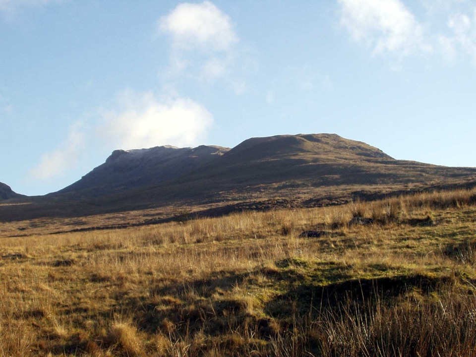 ChallengingMoelwyn Mawr and Moelwyn Bach Circular10.1 km · 5 hr · 3.9 km awayTwo rugged summits above slate ruins, quarry lakes and coastal views
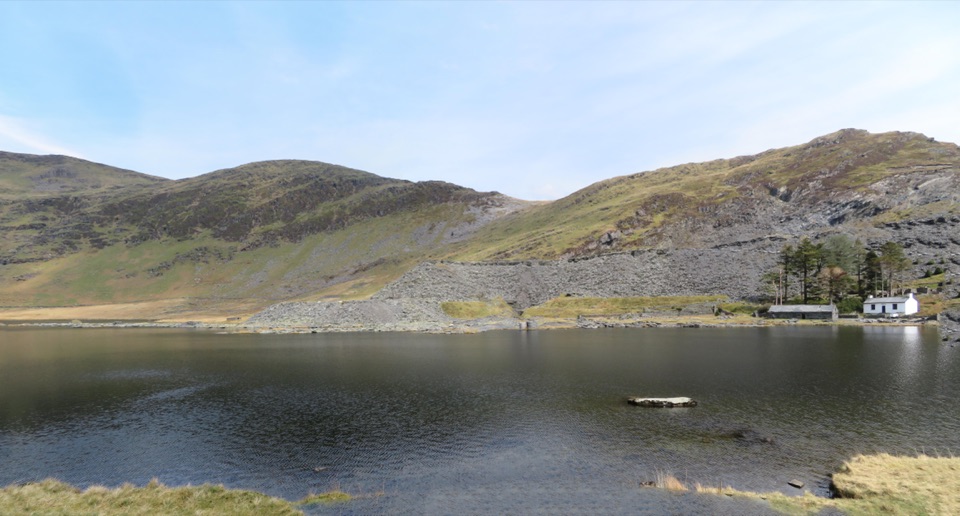 ModerateCwmorthin and Rhosydd Quarry Walk5.3 km · 2.3 hr · 3.9 km awaySlate ruins, a dark lake and remote quarry workings above the valley
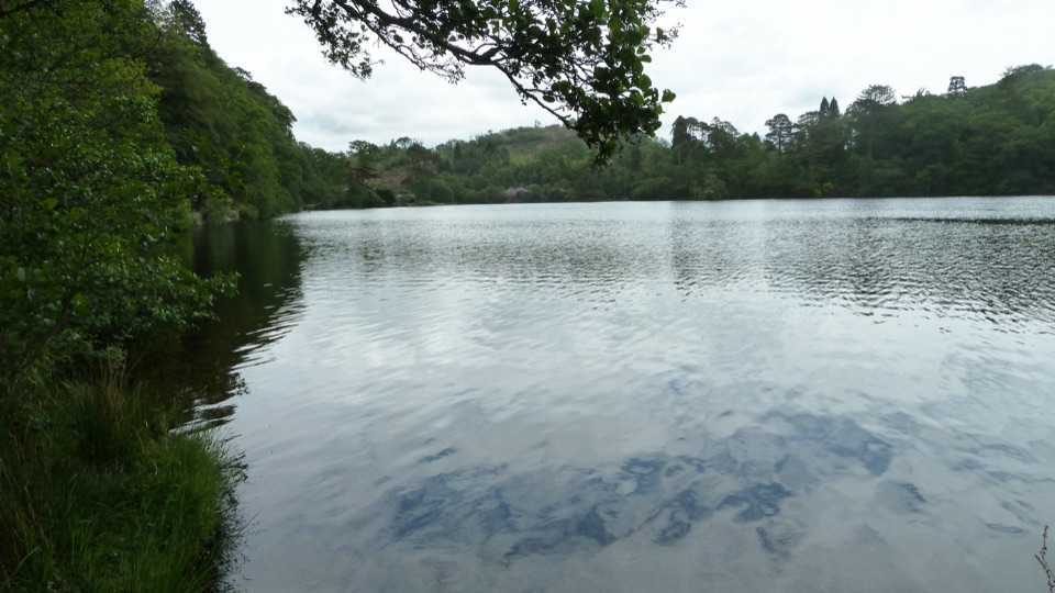 EasyDyffryn Maentwrog Woods and Llyn Mair Path3 km · 1 hr · 4.4 km awayGentle hour circuit to a wooded lake, small dam and picnic glades
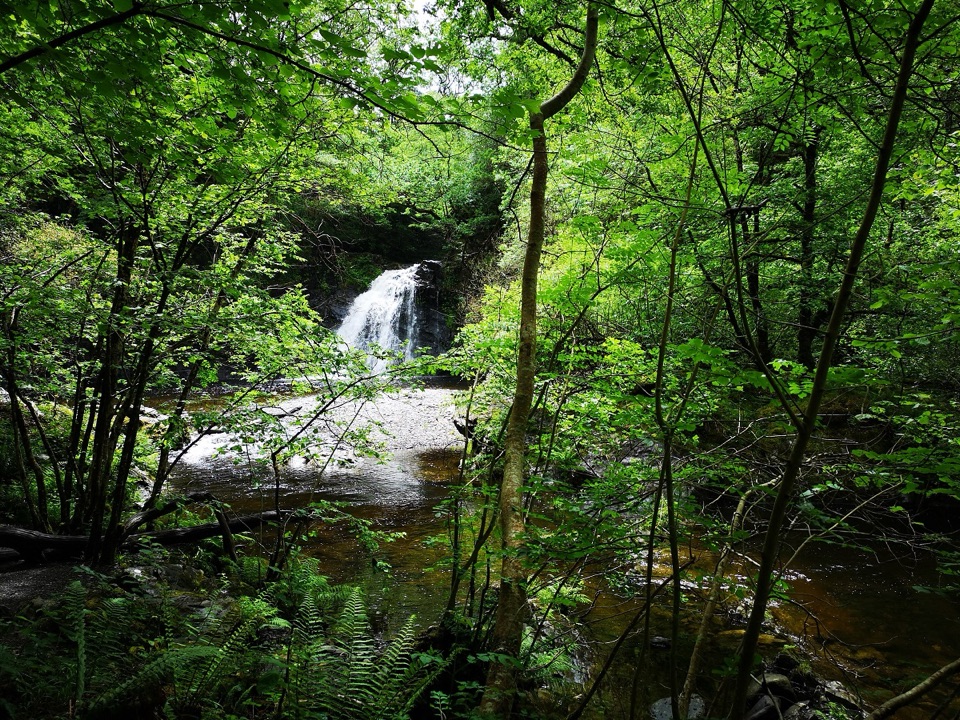 ChallengingRhaeadr Ddu Waterfall Walk (Ceunant Llennyrch)1.6 km · 1 hr · 4.5 km awaySteep mossy oakwood loop down to a hidden waterfall and ravine
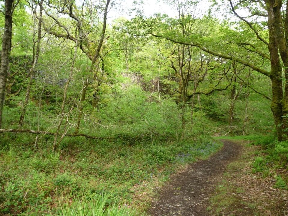 EasyStation Link Walk0.6 km · 30 min · 4.8 km awayBrief oak woodland climb linking the car park to Tan-y-Bwlch station
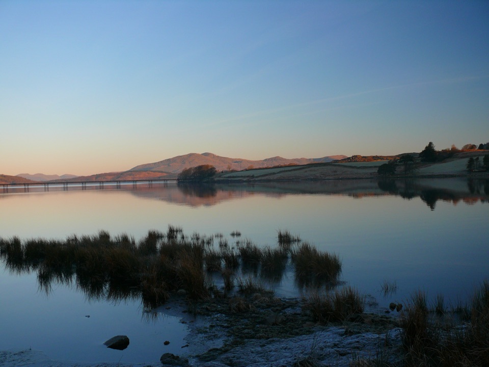 ModerateLlyn Trawsfynydd Circular13.8 km · 4.5 hr · 7.1 km awayFull circuit of Wales's largest reservoir, with one sharp dam climb
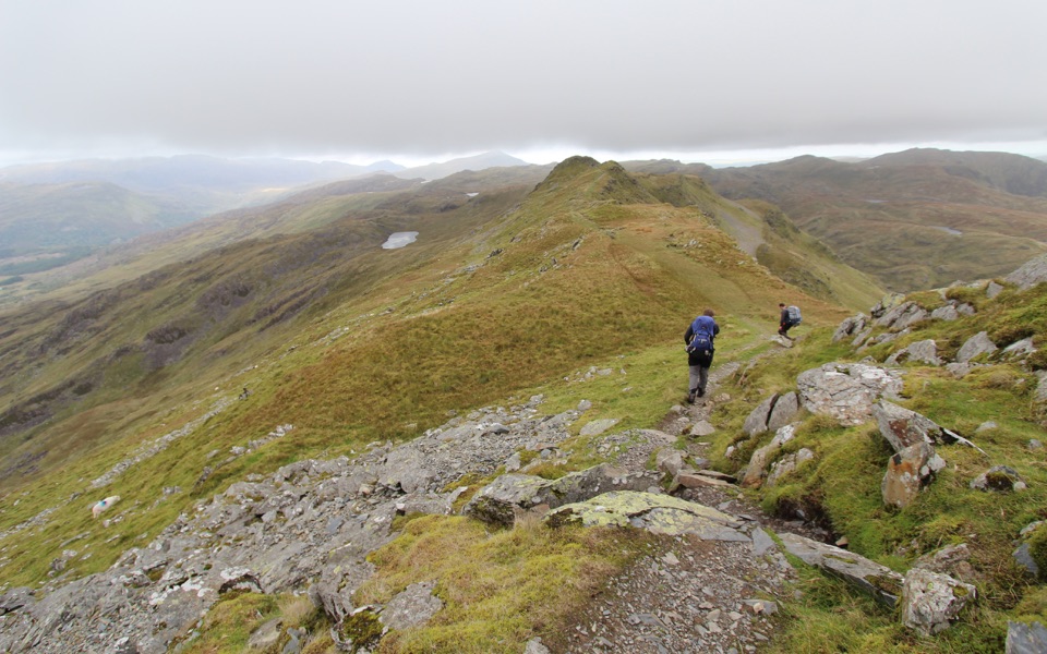 ChallengingCnicht from Croesor8.7 km · 3.5 hr · 7.4 km awaySharp ridge summit loop above Cwm Croesor, with slate country below
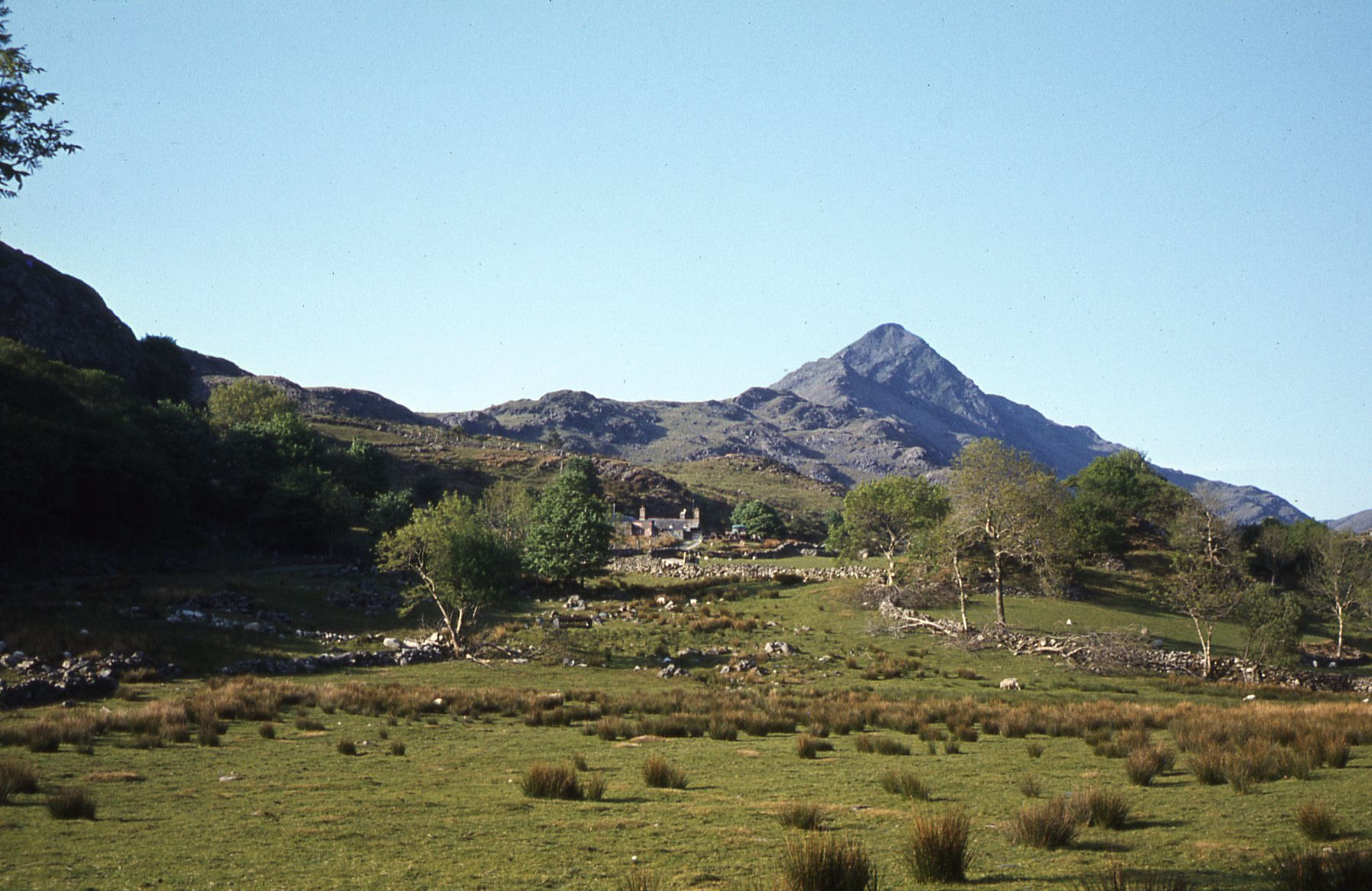 ModerateCroesor Circular5.5 km · 3 hr · 7.4 km awayA 5.5 km loop under the Welsh Matterhorn, past slate and river
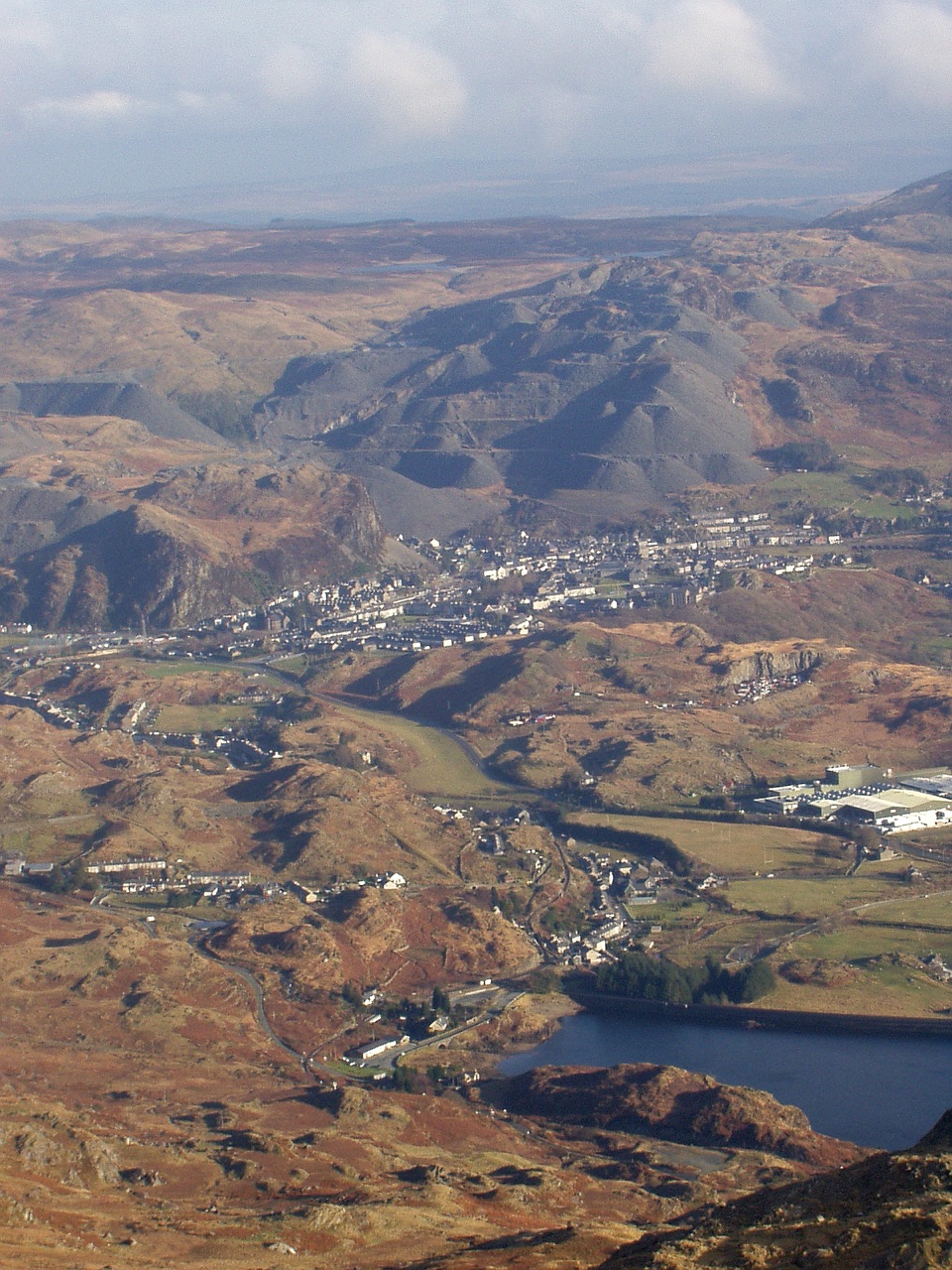 Sight · 4.1 km awayBlaenau FfestiniogSlate-built streets beneath the quarry scars of the Moelwynion
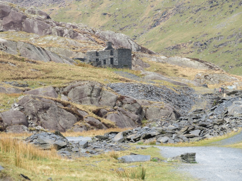 Sight · 4.5 km awayCwmorthin Slate QuarrySlate ruins, a mountain lake, and a steep path into industrial history
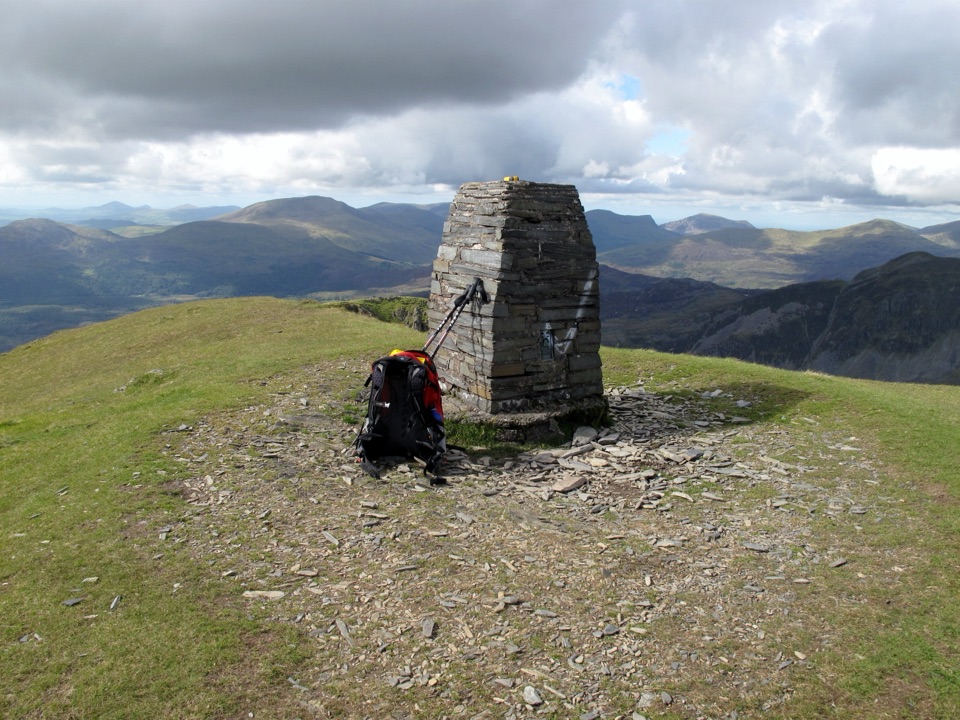 Sight · 5.1 km awayMoelwyn MawrA quiet 770-metre summit above slate country and sweeping views
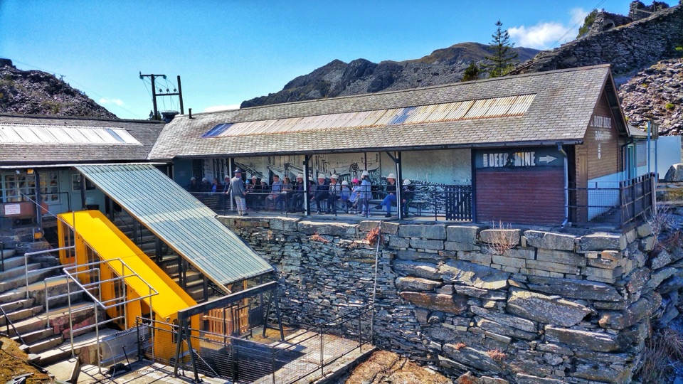 Sight · 5.1 km awayZip World LlechweddSlate mines turned into a full day of underground adventure
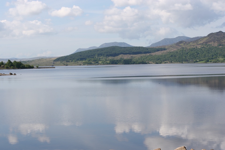 Sight · 5.5 km awayLlyn TrawsfynyddOspreys, wild brown trout and an eight-mile loop around dammed water
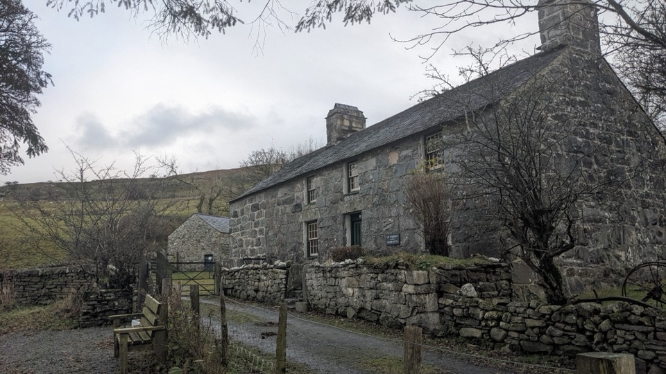 Sight · 7.6 km awayYr YsgwrnA preserved farmhouse where Welsh poetry meets wartime memory
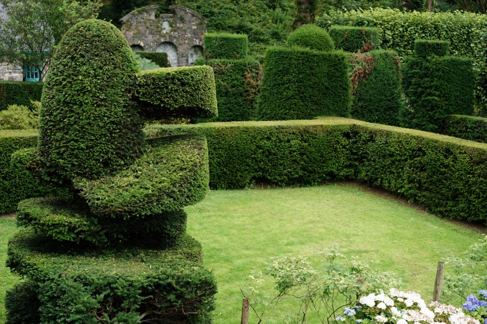 Sight · 8.4 km awayPlas Brondanw GardensTopiary, turquoise details, and mountain views in a garden of rooms
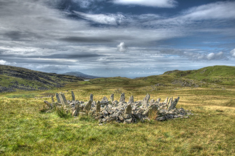 Sight · 8.4 km awayBryn Cader FanerA spiky Bronze Age cairn crowning a lonely Rhinogydd hillside
Parkwolf’s Eryri ranking

The audio tour guide for the drive, plus offline maps, trails, and wildlife heatmaps for when the signal drops.




