Parking
Use Coed Llyn Mair car park on the B4410, about 500 m after turning from the A487 at the Oakeley Arms. Parking is free and overnight parking is not permitted.
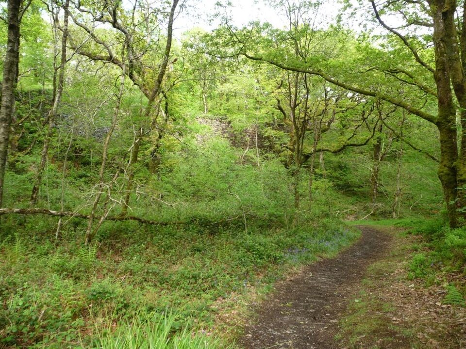
Eryri National Park, WA
Brief oak woodland climb linking the car park to Tan-y-Bwlch station
Overview
Worthwhile as a gentle connection between the car park and the station, and as a short taste of the oak woodland reserve. It is too brief to serve as a substantial hike. If you want a proper woodland loop, the separate Coed Llyn Mair Walk starts from the same site and is a moderate circular route on natural surfaces, with exposed rocks, roots and several flights of steps.
 Parkwolf’s verdictIs it worth your time
Map & elevation
Plan your hike

The highest, rockiest slopes around here are a summer buffet for grizzly bears.
Eryri Tour Guide
Parkwolf is a GPS audio tour guide for Eryri National Park. As you drive, it chimes in with what’s ahead: hidden gems, upcoming stops, history, geology, and wildlife, right through your car’s speakers.
Recorded for this trailhead
Llyn Mair and Tan-y-Bwlch Woods“You're approaching the woods around Llyn Mair and Tan-y-Bwlch. The lake circuit is an easy hour through mature trees to a small dam and picnic glades; still water can reflect the wooded shore.”
Plays as you drive up to this trailhead in the Parkwolf Eryri Tour Guide.
More stories near here in the app
“Fantastic app with many points of information… It’s great to just turn on while you’re driving and it gives you an audio tour of the national Park. We love it!!!!”


Trail guide
This is an out-and-back access walk of 0.4 miles / 0.6 km total there and back, allowing about 30 minutes for the round trip. Total climb is 118 feet / 36 metres, and the official grade is Easy. The path is waymarked from the car park.
From Coed Llyn Mair car park the route climbs gradually through ancient oak woodland to Tan-y-Bwlch station on the Ffestiniog Railway. The surrounding Coedydd Maentwrog National Nature Reserve is temperate Atlantic oak woodland, notable for rare mosses, liverworts and lichens, and it supports bats including the lesser horseshoe bat. At the top there are picnic tables, and the station gives you the option of continuing your day by heritage railway.
Start from Coed Llyn Mair car park on the B4410, about 500 m after turning off the A487 at the Oakeley Arms. Parking is free, and overnight parking is not permitted. The postcode LL41 3AQ covers a wide area, so use it as a rough guide rather than a precise pin.
Wildlife
 77 sightingsGrey HeronMost seen around 7 AMSighting map
 17 sightingsTawny OwlMost seen around 6 AMSighting map
 32 sightingsCommon RavenMost seen around 8 AMSighting map
 21 sightingsGreat Spotted WoodpeckerMost seen around 7 AMSighting map
 18 sightingsEuropean RabbitMost seen around 7 AMSighting map
 161 sightingsViviparous LizardMost seen around 10 AMSighting map
Sighting maps show where each species has been reported across Eryri. Wildlife moves, so no sighting is guaranteed.
Keep exploring
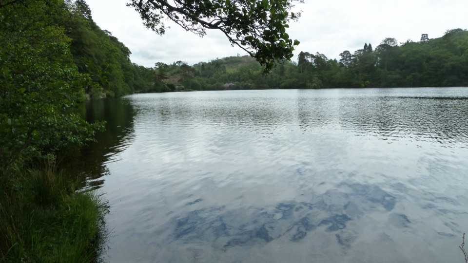 EasyDyffryn Maentwrog Woods and Llyn Mair Path3 km · 1 hr · 0.8 km awayGentle hour circuit to a wooded lake, small dam and picnic glades
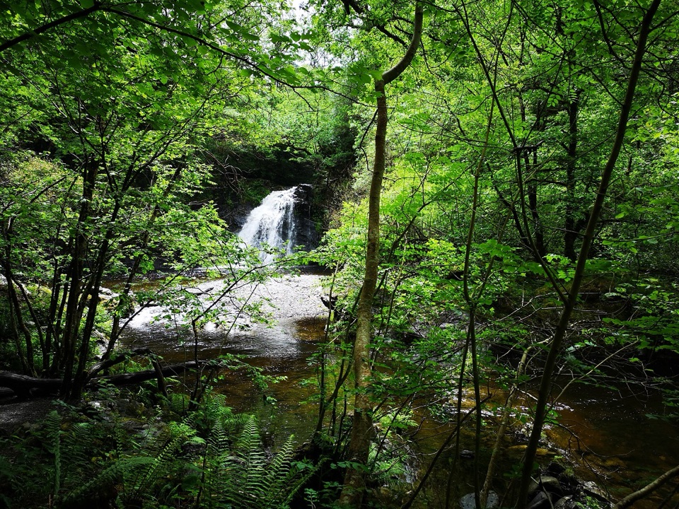 ChallengingRhaeadr Ddu Waterfall Walk (Ceunant Llennyrch)1.6 km · 1 hr · 2.4 km awaySteep mossy oakwood loop down to a hidden waterfall and ravine
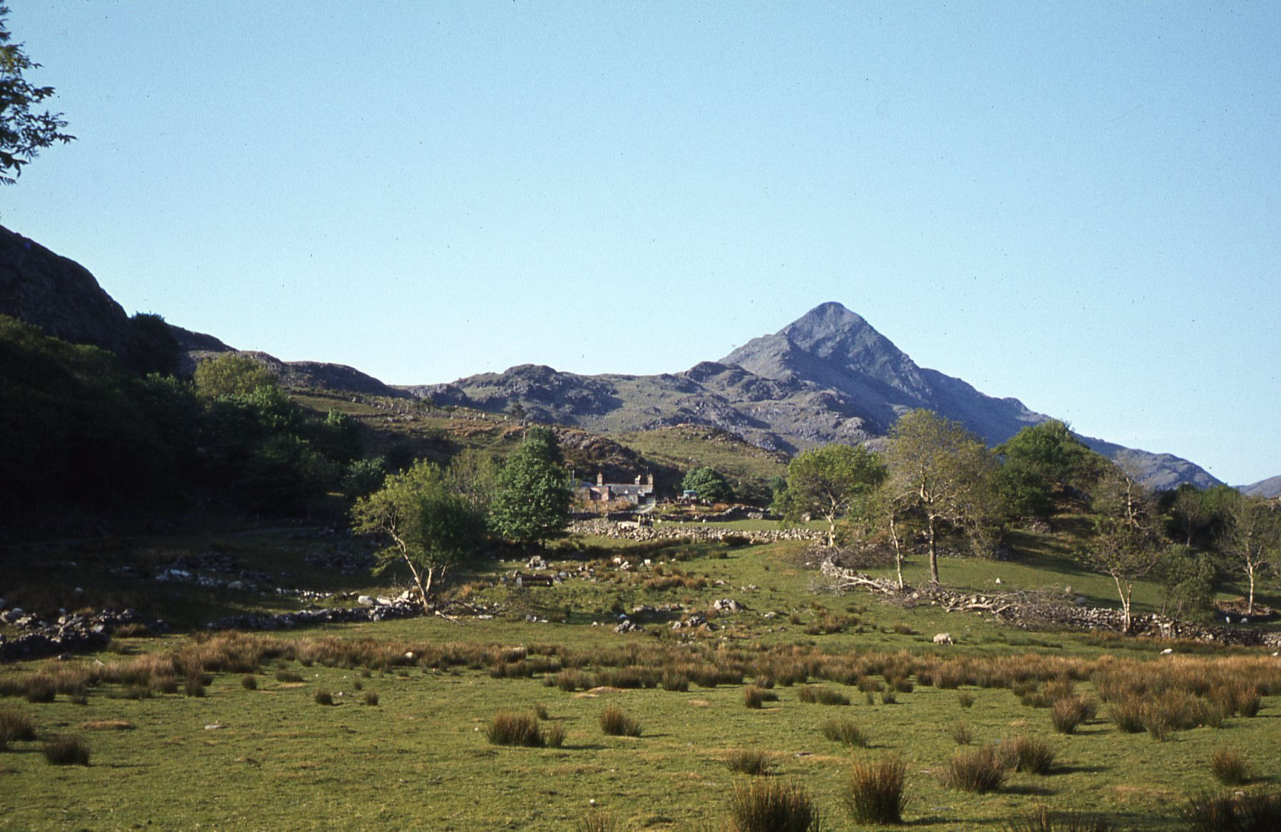 ModerateCroesor Circular5.5 km · 3 hr · 3.9 km awayA 5.5 km loop under the Welsh Matterhorn, past slate and river
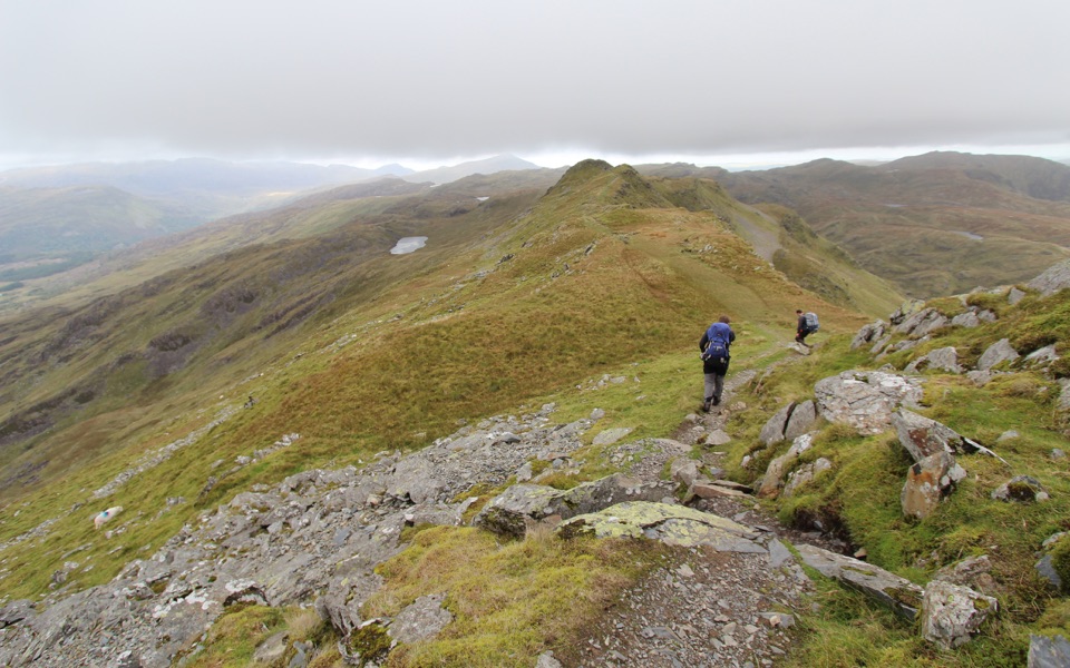 ChallengingCnicht from Croesor8.7 km · 3.5 hr · 3.9 km awaySharp ridge summit loop above Cwm Croesor, with slate country below
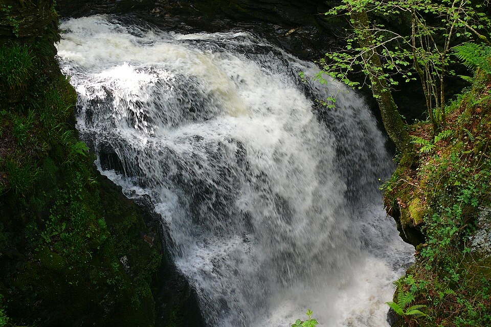 ChallengingRhaeadr Cynfal Waterfall Walk2.3 km · 1 hr · 4.8 km awayShort, steep out-and-back to a Victorian platform above a mossy gorge
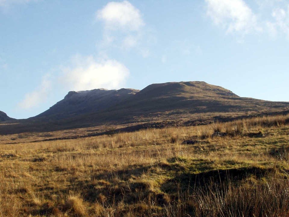 ChallengingMoelwyn Mawr and Moelwyn Bach Circular10.1 km · 5 hr · 5.1 km awayTwo rugged summits above slate ruins, quarry lakes and coastal views
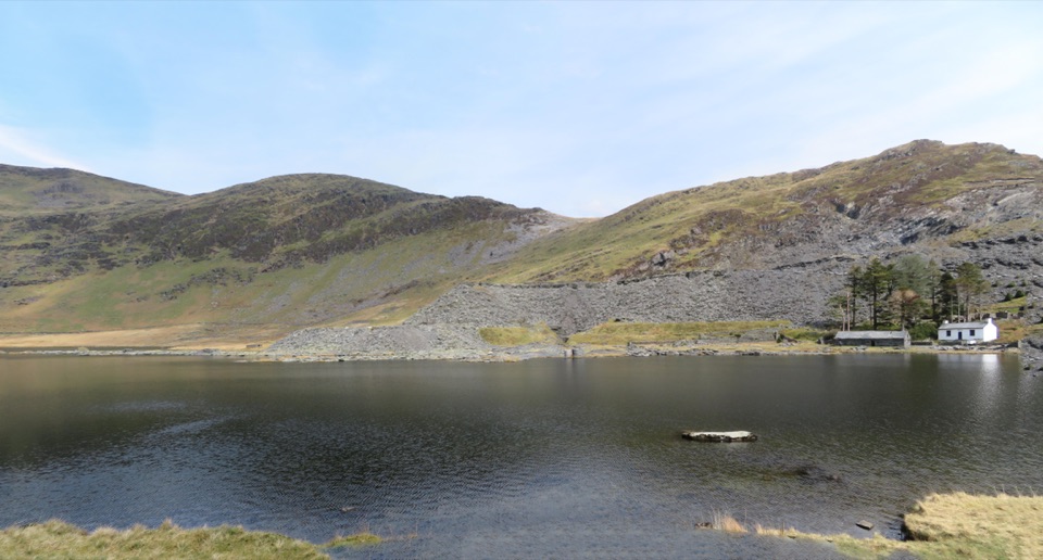 ModerateCwmorthin and Rhosydd Quarry Walk5.3 km · 2.3 hr · 5.1 km awaySlate ruins, a dark lake and remote quarry workings above the valley
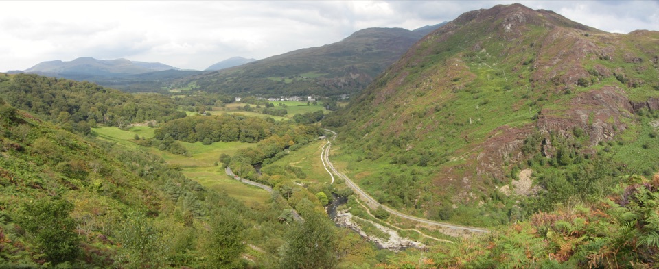 ChallengingAberglaslyn, Bryn Du and Beddgelert Walk5.6 km · 2 hr · 7.3 km awaySteep woodland climb to Bryn Du, then Gelert's grave and river paths
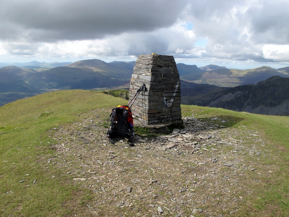 Sight · 3.6 km awayMoelwyn MawrA quiet 770-metre summit above slate country and sweeping views
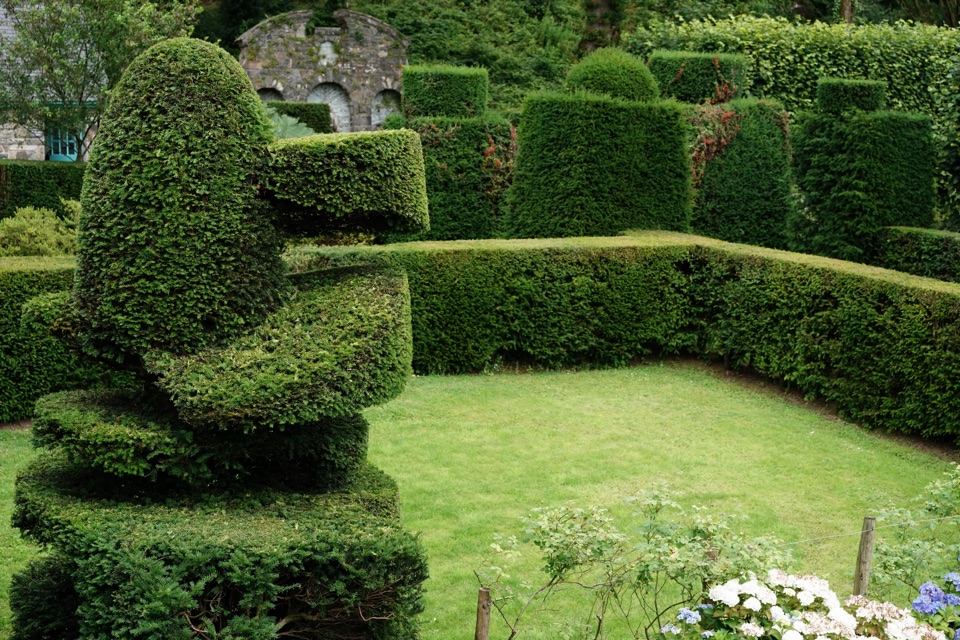 Sight · 3.7 km awayPlas Brondanw GardensTopiary, turquoise details, and mountain views in a garden of rooms
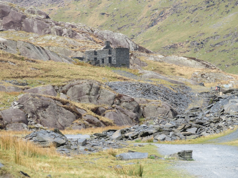 Sight · 5.5 km awayCwmorthin Slate QuarrySlate ruins, a mountain lake, and a steep path into industrial history
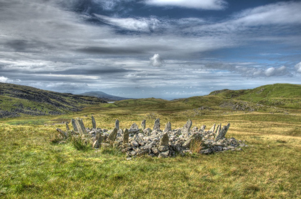 Sight · 6.1 km awayBryn Cader FanerA spiky Bronze Age cairn crowning a lonely Rhinogydd hillside
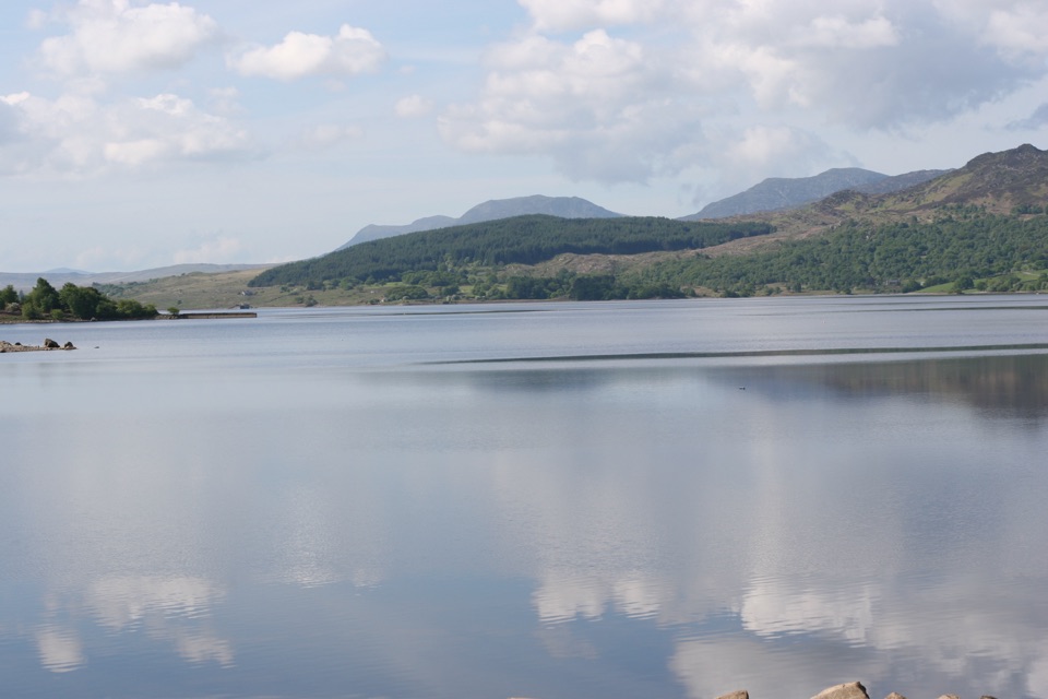 Sight · 6.2 km awayLlyn TrawsfynyddOspreys, wild brown trout and an eight-mile loop around dammed water
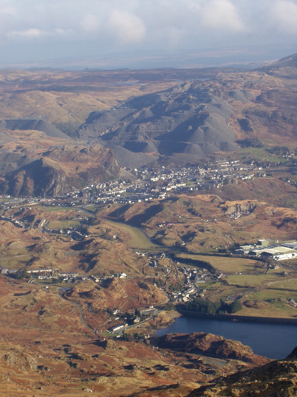 Sight · 6.8 km awayBlaenau FfestiniogSlate-built streets beneath the quarry scars of the Moelwynion
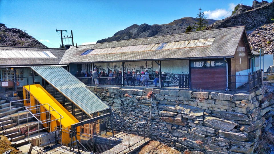 Sight · 7.4 km awayZip World LlechweddSlate mines turned into a full day of underground adventure
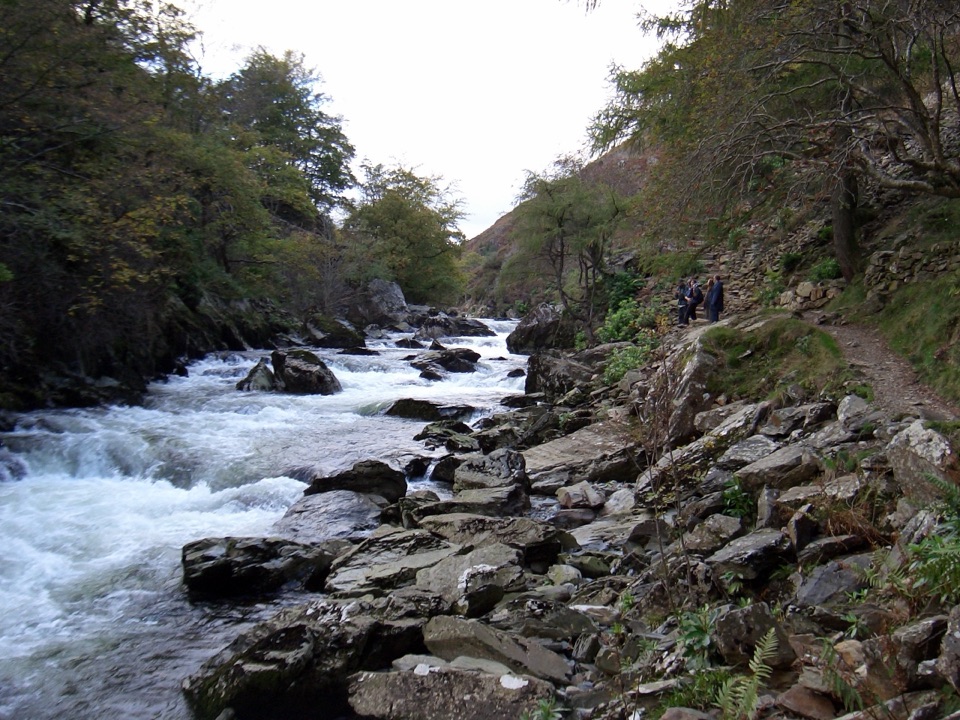 Sight · 7.5 km awayAberglaslyn PassA rushing river threading a dramatic wooded gorge
Parkwolf’s Eryri ranking
The audio tour guide for the drive, plus offline maps, trails, and wildlife heatmaps for when the signal drops.




