Parking
Park at Shark Valley Visitor Center. The signed boardwalk entrance is behind the center; follow the paved path beside the canal. Restrooms and drinking water are at the visitor center. In peak season, the lot often fills by midmorning.
#6 of 19 trails in Everglades
Everglades National Park, FL
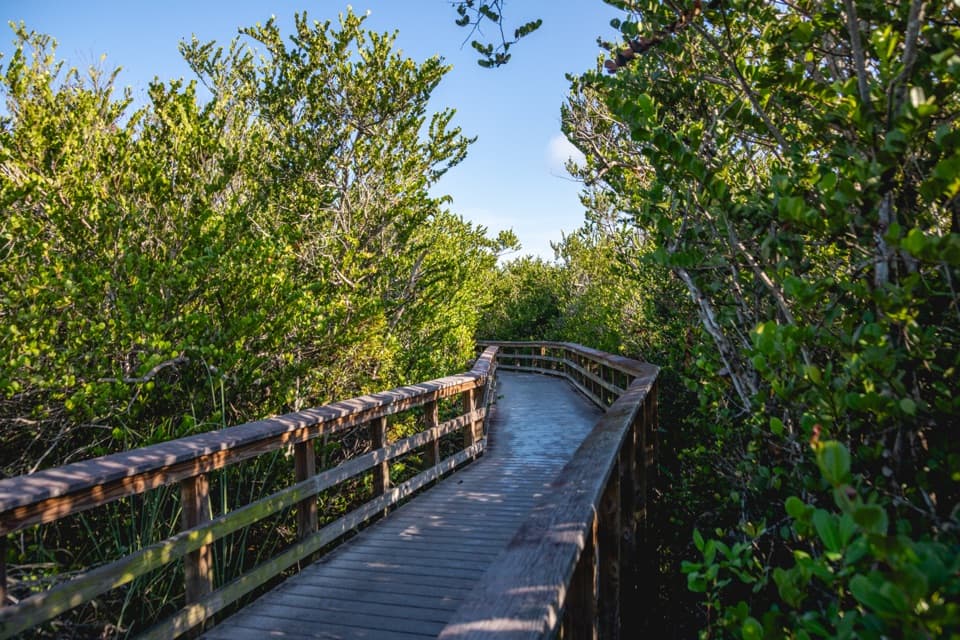
A short boardwalk crosses sawgrass before dipping into hammock shade.
Overview
Map & elevation
Plan your hike

The highest, rockiest slopes around here are a summer buffet for grizzly bears.
Everglades Tour Guide
Parkwolf is a GPS audio tour guide for Everglades National Park. As you drive, it chimes in with what’s ahead: hidden gems, upcoming stops, history, geology, and wildlife, right through your car’s speakers.
See the Everglades audio tourRecorded for this trailhead
Shark Valley: Choose the Tram or a Bike“You're coming up on the Shark Valley entrance, where private cars stay at the parking lot.”
Plays as you drive up to this trailhead in the Parkwolf Everglades Tour Guide.
More stories near here in the app
“Fantastic app with many points of information… It’s great to just turn on while you’re driving and it gives you an audio tour of the national Park. We love it!!!!”


Trail guide
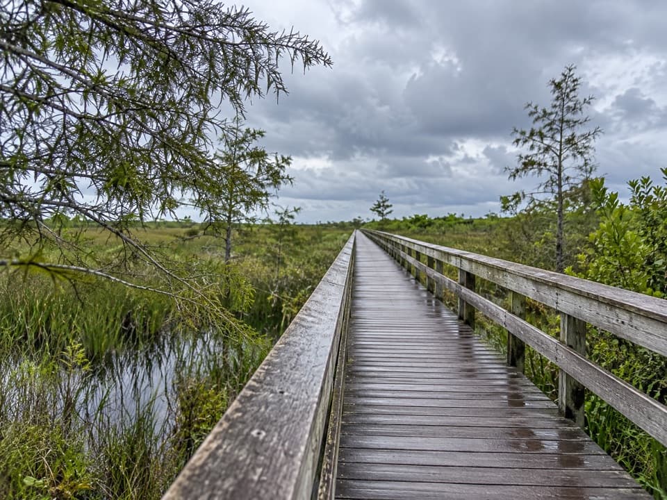
Bobcat Boardwalk is a flat, about 0.4-mile loop behind the Shark Valley Visitor Center: a short boardwalk through wetland, then a paved return on Tram Road. Allow 20 to 30 minutes with time at the benches. It is a quick habitat walk, not a substitute for the full tram-road outing. The boardwalk is listed as wheelchair accessible; pets aren't allowed on park trails. Published mileage varies: one listing says 0.2 mile, another says 0.5 mile one way, and another describes a 0.3-mile boardwalk circuit. This route follows the named boardwalk and its paved return and measures 0.37 mile; check the signed map if the posted figure matters.
Start at the signed boardwalk entrance behind the visitor center. The planks pass through a willow swamp, open onto sawgrass prairie, and reach a bench above a flowing stream before entering tropical hardwood hammock. The route crosses another sunny stretch and reaches the paved loop road by an interpretive sign; turn left on the pavement to return to the entrance. The open prairie is exposed to sun, while the hammock gives you a shaded break.
Water-filled solution holes in the prairie can hold purple pickerelweed, and the shady hammock has cocoplum and white stopper trees. At the exit, the periphyton sign explains the green-brown floating clumps that form a major part of the Everglades food web. Winter and spring are a good time to look for migratory and nesting birds, though sightings vary. For a photo, use the boardwalk as a leading line toward the open prairie or the hammock canopy.
Wildlife
 15 sightingsMountain LionMost seen around 7 AMSighting map
 1,429 sightingsWest Indian ManateeMost seen around 9 AMSighting map
 4,397 sightingsAlligatorMost seen around 5 PMSighting map
 1,672 sightingsCrocodileMost seen around 6 PMSighting map
 42 sightingsBlack BearMost seen around 6 PMSighting map
 15 sightingsBobcatMost seen around 7 AMSighting map
Sighting maps show where each species has been reported across Everglades. Wildlife moves, so no sighting is guaranteed.
Keep exploring
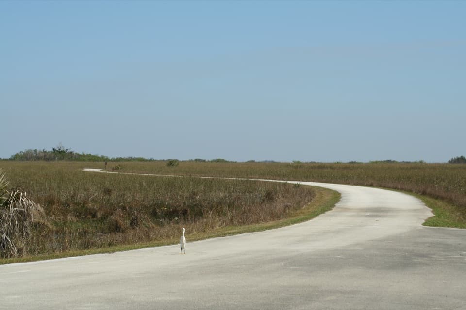 ModerateShark Valley Tram Road Loop15 mi · 6.5 hr · 0.1 mi awayFifteen flat miles through sawgrass, shared with trams and bikes.
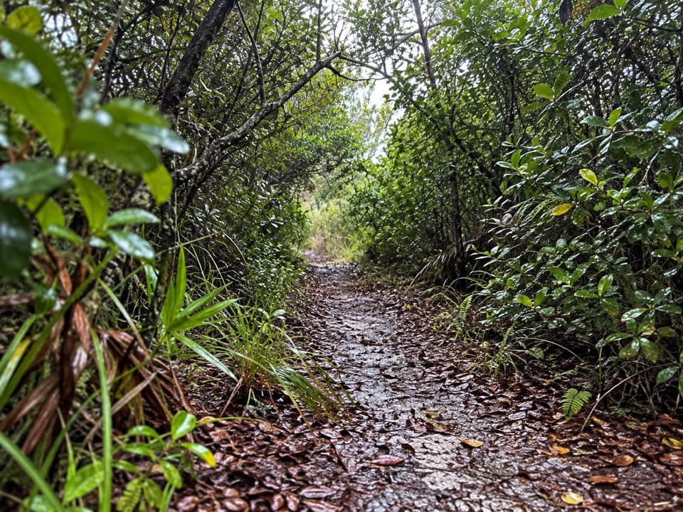 EasyOtter Cave Hammock Trail0.3 mi · 18 min · 0.5 mi awayA short limestone loop through hammock, stream and solution holes.
 EasyBorrow Pit Trail0.3 mi · 18 min · 6.9 mi awayA short walk beside the borrow pit, with alligators to watch for.
 Visitor center · 0.1 mi awayShark Valley Visitor CenterPick a tram, bike, or short walk into the sawgrass.
 Entrance station · 0.1 mi awayShark Valley Entrance StationPasses, maps and ranger help at Shark Valley's entrance.
 Sight · 6.9 mi awayShark Valley Observation TowerA panoramic marsh view, seven miles along the Tram Road.
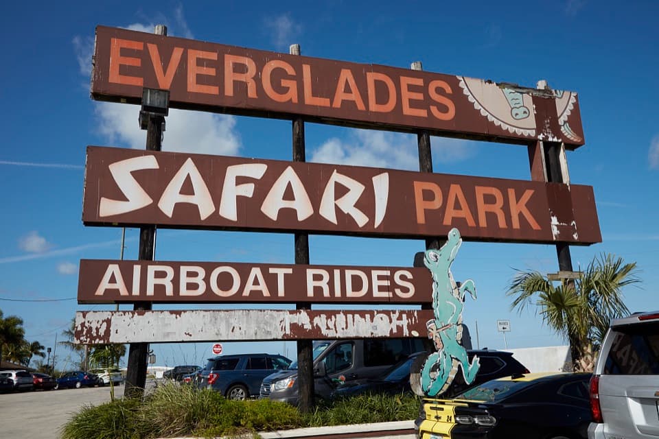 Sight · 8.6 mi awayEverglades Safari ParkRide the marsh by airboat, then see an alligator show.
Parkwolf’s Everglades ranking

The audio tour guide for the drive, plus offline maps, trails, and wildlife heatmaps for when the signal drops.