Parking
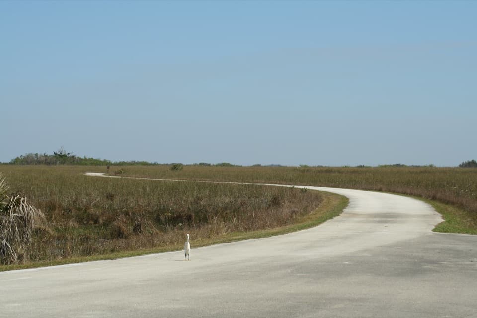
West Lake Trail parking area on Main Park Road, about 7 miles north of Flamingo Visitor Center.

#7 of 19 trails in Everglades
Everglades National Park, FL
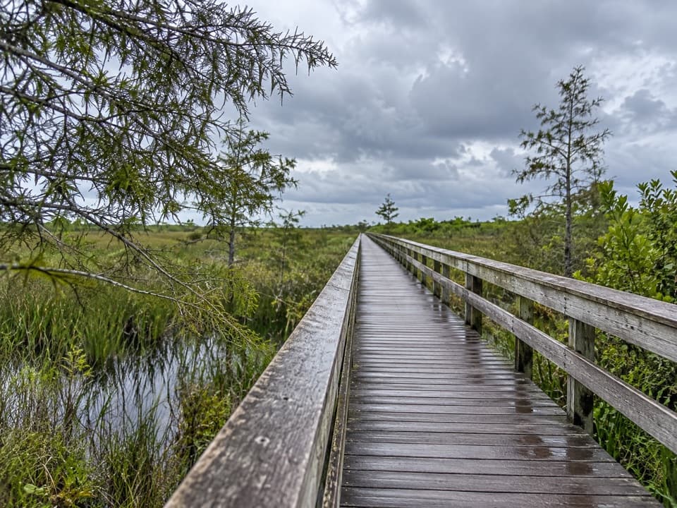
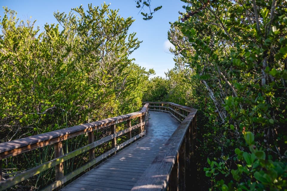
Follow a level boardwalk through mangroves to West Lake.
Overview
Map & elevation
Plan your hike

The highest, rockiest slopes around here are a summer buffet for grizzly bears.
Everglades Tour Guide
Parkwolf is a GPS audio tour guide for Everglades National Park. As you drive, it chimes in with what’s ahead: hidden gems, upcoming stops, history, geology, and wildlife, right through your car’s speakers.
See the Everglades audio tourRecorded for this trailhead
West Lake: Mangroves and a Picnic Break“You're coming up on West Lake, a quiet place to break the drive with a picnic and a short walk through mangroves.”
Plays as you drive up to this trailhead in the Parkwolf Everglades Tour Guide.
More stories near here in the app
“Fantastic app with many points of information… It’s great to just turn on while you’re driving and it gives you an audio tour of the national Park. We love it!!!!”


Trail guide
West Lake Trail is a 0.5-mile round trip on a level boardwalk through mangroves to a small circuit beside the lake, then back along the shared approach. Allow about 20 minutes. Published descriptions give both a 0.4-mile loop and a 0.5-mile round trip; plan for the longer figure.
The raised walkway passes through white, black and red mangroves and buttonwood before opening over West Lake. Benches sit along the lake-side boardwalk. Look for bromeliads in the branches and the upright breathing roots of black mangroves near the water.
Begin at the West Lake parking area on Main Park Road, about 7 miles north of Flamingo. The boardwalk is wheelchair accessible; bicycles are not allowed, and pets are prohibited on park trails. Biting insects occur year-round and can be severe in hot, humid summer weather, so bring repellent and drinking water.
Wildlife
 15 sightingsMountain LionMost seen around 7 AMSighting map
 1,429 sightingsWest Indian ManateeMost seen around 9 AMSighting map
 4,397 sightingsAlligatorMost seen around 5 PMSighting map
 1,672 sightingsCrocodileMost seen around 6 PMSighting map
 42 sightingsBlack BearMost seen around 6 PMSighting map
 15 sightingsBobcatMost seen around 7 AMSighting map
Sighting maps show where each species has been reported across Everglades. Wildlife moves, so no sighting is guaranteed.
Keep exploring
 EasySnake Bight Trail3.7 mi · 2 hr · 1.8 mi awayFlat hammock walk to a small Florida Bay birding platform.
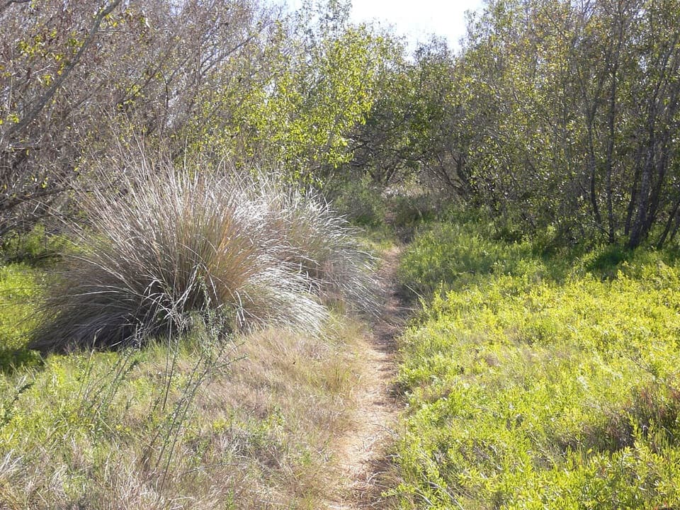 EasyRowdy Bend Trail5.2 mi · 2.5 hr · 4.3 mi awayA long, flat birding walk through buttonwoods and coastal prairie.
 EasyBear Lake Trail3.2 mi · 2.5 hr · 5.3 mi awayFollow a 1922 canal through hardwood hammock and mangroves
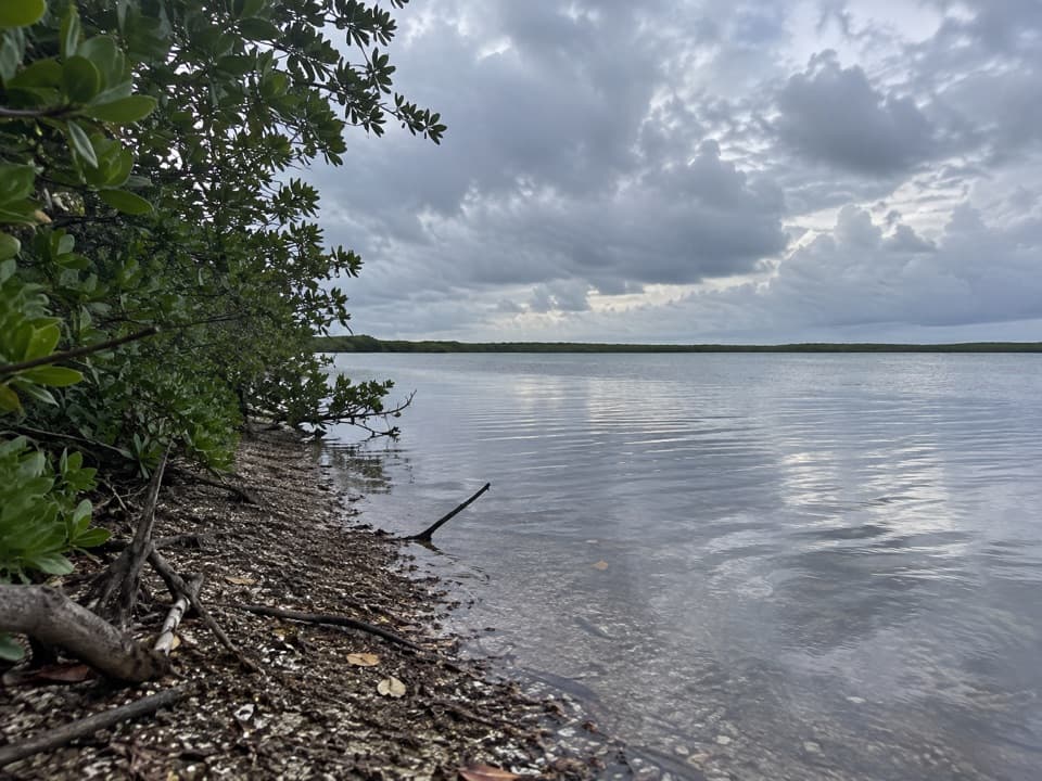 ModerateChristian Point Trail3.6 mi · 2.5 hr · 6.1 mi awayA rough, quiet walk from mangroves to Snake Bight's open shore.
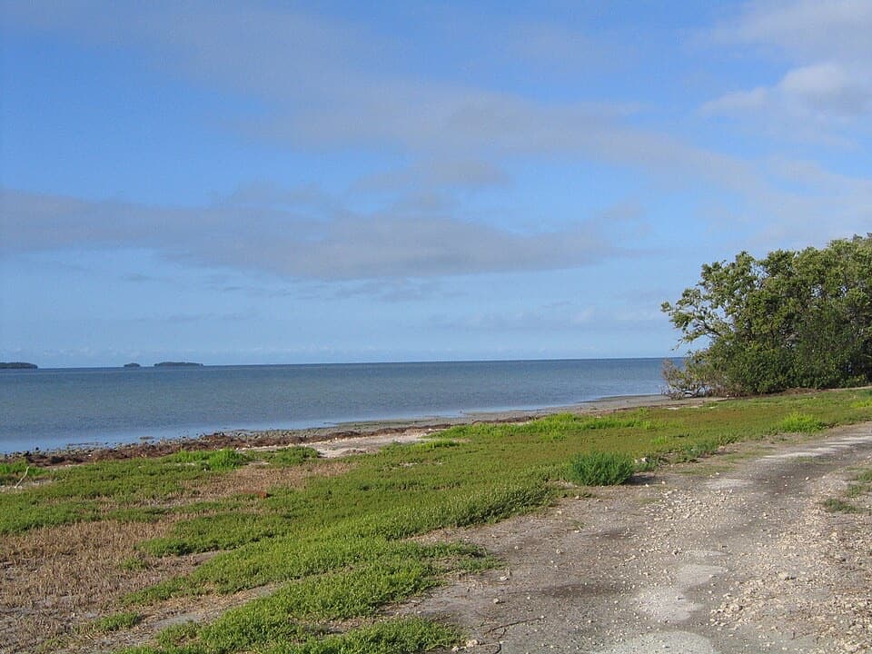 EasyGuy Bradley Trail0.6 mi · 24 min · 6.9 mi awayA bayfront shortcut through mangroves, past Flamingo’s old pier pilings.
 EasyEco Pond Trail0.5 mi · 30 min · 7.5 mi awayA short wetland loop for shorebirds and occasional crocodiles.
 EasyMahogany Hammock Trail0.5 mi · 20 min · 7.6 mi awayAn easy boardwalk threads into a dense tropical hardwood hammock.
 ChallengingCoastal Prairie Trail12 mi · 7.5 hr · 8.1 mi awayA long, exposed walk to a remote Florida Bay beach.
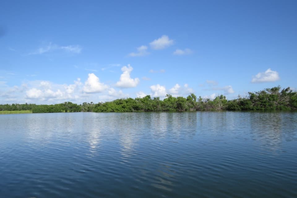
 Picnic area · At the trailheadWest LakeA short mangrove boardwalk beside a picnic spot and boat launch.
 Sight · 3.3 mi awayMrazek PondA quick bird stop; winter wader flocks are a rare bonus.
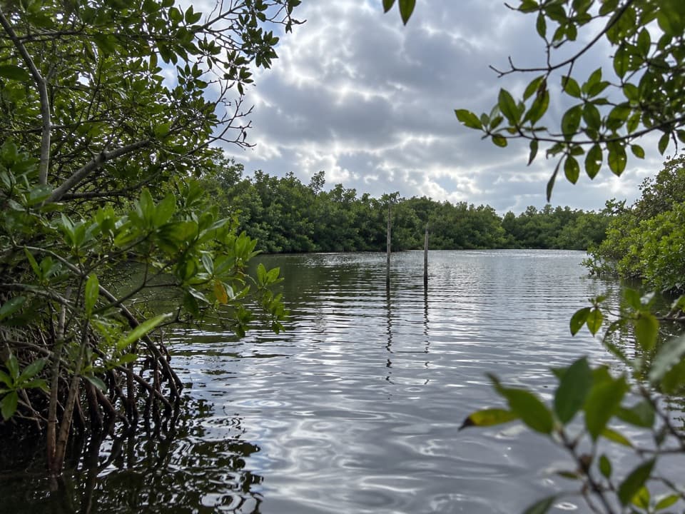 Sight · 3.7 mi awayCoot Bay PondA roadside pond and hand launch on the drive to Flamingo.
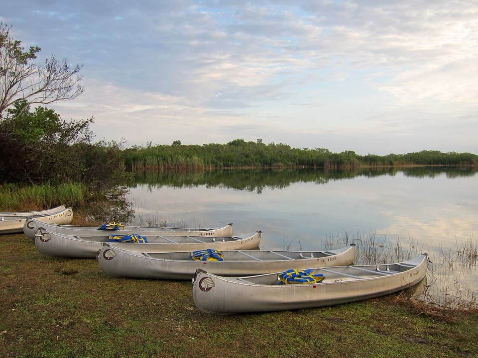 Sight · 4.3 mi awayNine Mile PondA quick bird stop or a full paddle into mangrove channels.
 Sight · 5.7 mi awayPaurotis PondA roadside bird rookery where water levels change the show.
 Sight · 6.7 mi awayFlamingo MarinaCome for a boat trip; watch the dock for manatees and crocodiles.
 Visitor center · 6.8 mi awayGuy Bradley Visitor CenterGet oriented at Flamingo, with bay views and backcountry permits.
 Restaurant · 7 mi awayFlamingo RestaurantTurn a legal, in-season catch into dinner on Florida Bay.
Parkwolf’s Everglades ranking

The audio tour guide for the drive, plus offline maps, trails, and wildlife heatmaps for when the signal drops.