Pros & cons
PROS
- One of the few long, bike-friendly dirt trails in the park
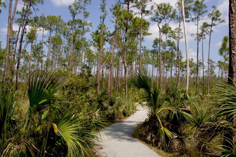
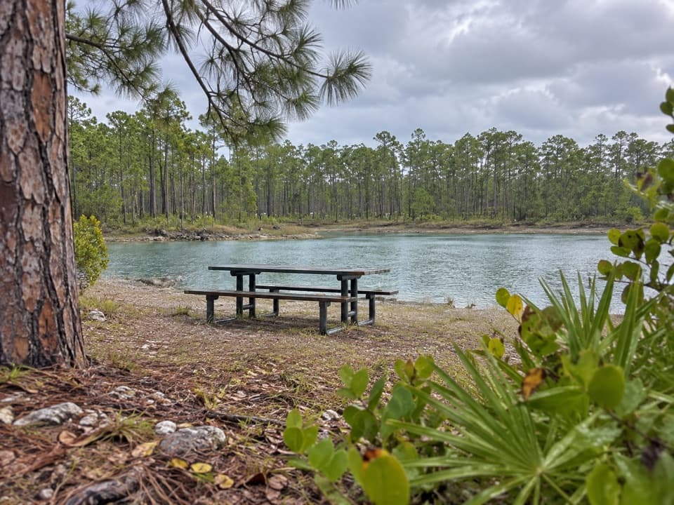
- Walk or ride through the largest remaining U.S. pine rockland habitat
CONS
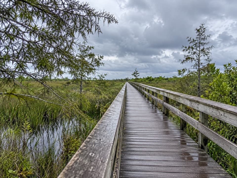
- Scenery changes are subtle; full round trip can feel monotonous
- Mosquitoes and heat make late spring–summer unpleasant
Primary access near Long Pine Key Campground; additional access by pulling off on road shoulders at gates where trails meet paved roads.
No water or restrooms on the route; strong sun exposure, seasonal mosquitoes, and a few unmarked spurs—carry a printed map and ample water.
This is the Everglades’ uplands walk: a long, quiet traverse through rare pine rockland along the Miami Rock Ridge, linking Long Pine Key Campground to Pine Glades Lake. The main corridor runs about 7 miles one way (plan on 12–14 miles total if you return the same way). It’s open to both hikers and cyclists—one of the few true multi-use trails in the park—so if you want the whole thing without it turning into a slog, bring a bike.
What you’ll see
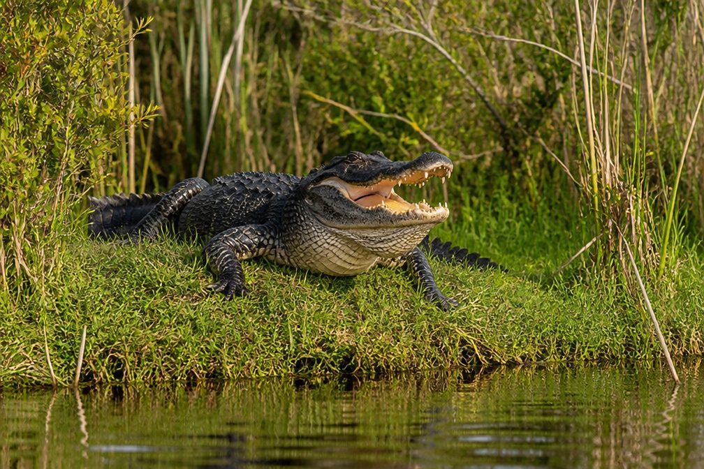
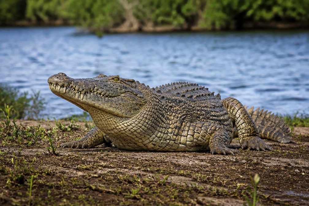
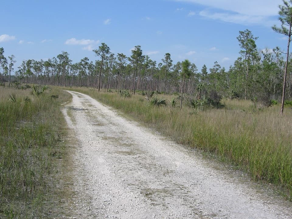
Expect open stands of slash pine with a sunny, low understory—classic pine rockland, the largest intact expanse of this habitat left in the U.S. Subtle shifts in elevation bring hints of sawgrass prairie and occasional hardwood hammocks. Look for colorful Liguus tree snails and a mix of neotropical and endemic plants. Wildlife is hit-or-miss but can be rewarding: deer, birds, snakes, frogs, fish, and turtles turn up for those who move quietly.
Trail feel and navigation
The path is flat and generally easy, with hard-packed limestone and some rocky or occasionally muddy stretches. Signage clearly marks the main “TRAIL,” but you’ll pass several unmarked spurs; most lead to the same kind of terrain and don’t add much. If you plan to explore beyond the main route, pick up the printed Long Pine Key Trails map at Ernest Coe Visitor Center—trailhead kiosks don’t show all spurs.
Who will love it (and who won’t)
If you’re into solitude, botany, birding, or Everglades geology, this is your place. The scenery is subtle and meditative rather than dramatic; some hikers find the full out-and-back monotonous. Cyclists tend to have the best time—this corridor was practically made for a mellow, scenic ride.
Logistics and tips
- Length: ~7 miles one way; ~12–14 miles round trip if you retrace your steps.
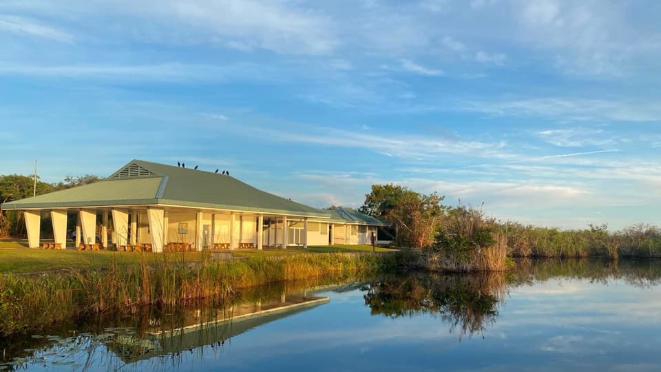
- Facilities: none along the trail—bring plenty of water and snacks. Services at the campground and at Pine Glades Lake only.
- Bikes allowed on the main trail; several spurs are hiking-only.
- Wear long pants to handle brushy sections, and use insect repellent outside the dry season.
- Consider staging a vehicle at Pine Glades Lake for a one-way day.
Best time to hike
November through April is prime: cooler temps, fewer mosquitoes, and kinder sun. Go early for wildlife activity and to avoid midday heat. Summer brings heavy insect pressure and overgrowth—plan accordingly or pick a shorter sampler near the campground.
Elevation
7 mi · 5.5 hrWildlife on this trail
Near Long Pine Key Nature Trail
All places →All trails →
Shark ValleyPaved 15-mile loop with gator-spotting and a panoramic towerTrailhead · Parking
Anhinga PondBoardwalk wildlife hotspot with up-close gators and birdsTrailhead · Restroom
Royal Palm Visitor CenterGateway to Anhinga and Gumbo Limbo, with easy wildlife thrillsTrailhead · Restroom
Shark Valley Observation TowerSpiral tower with sweeping Everglades views and easy wildlife spottingRestroom · Exhibit
Anhinga TrailEasy boardwalk loop with gators and wading birds at arm’s length.Easy · 0.8 mi · 45 min
Shark Valley Tram RoadFlat 15-mile loop with gators, birds, and endless big sky viewsEasy · 15 mi · 4.2 hr
Mahogany Hammock TrailShaded boardwalk into a jungle with the largest U.S. mahoganyEasy · 0.5 mi · 30 min
Gumbo Limbo TrailShaded, paved loop through a lush tropical hardwood hammockEasy · 0.4 mi · 18 min