Parking
Small roadside parking at the Tūtoko River bridge carpark on Milford Road, about 114 km from Te Anau and a few minutes from Milford Sound; spaces are limited.
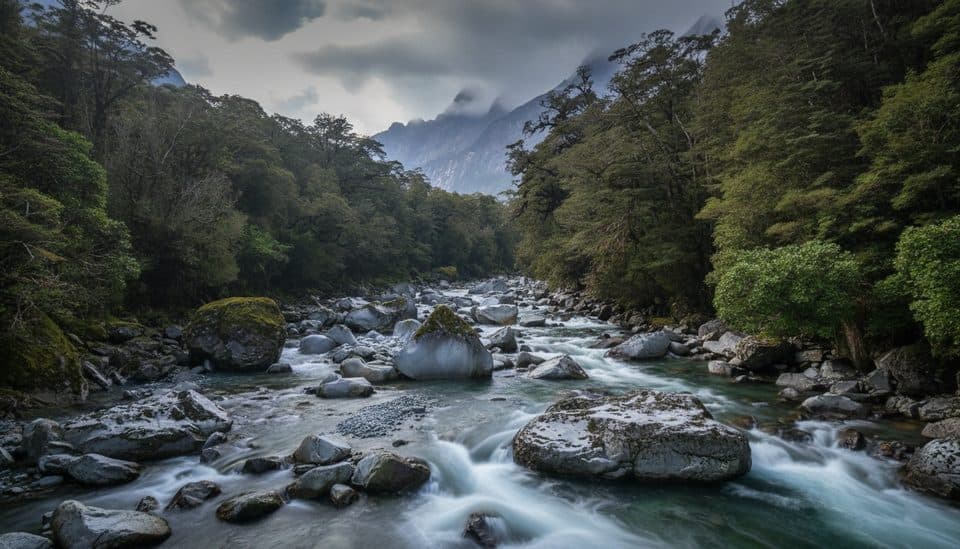
Fiordland National Park, SL
A challenging, rough valley route from Tūtoko Bridge to open flats beneath Fiordland peaks
Overview
This is an expert-level backcountry route requiring above-average fitness and strong navigation and survival skills. Expect wet ground, mud, roots, windfall and a route that can be difficult to follow beyond the clearer marked sections. The Tūtoko River and side streams can rise quickly after rain; do not attempt a crossing in flood and turn back if conditions become unsafe. Sandflies are common near the bridge.
 Parkwolf’s verdictHazards and who it’s for
Map & elevation
Plan your hike

The highest, rockiest slopes around here are a summer buffet for grizzly bears.
Fiordland Tour Guide
Parkwolf is a GPS audio tour guide for Fiordland National Park. As you drive, it chimes in with what’s ahead: hidden gems, upcoming stops, history, geology, and wildlife, right through your car’s speakers.
See the Fiordland audio tourRecorded for this trailhead
Tūtoko Bridge and Mount Tūtoko View“You'll soon be crossing the Tūtoko Bridge, which is a great spot for a quick photo. There's a pedestrian walkway on the bridge that gives you a safe, clear view up the river valley.”
Plays as you drive up to this trailhead in the Parkwolf Fiordland Tour Guide.
More stories near here in the app
“Fantastic app with many points of information… It’s great to just turn on while you’re driving and it gives you an audio tour of the national Park. We love it!!!!”


Trail guide
This is a challenging, unformed tramping route up the Tūtoko River valley through beech forest to swamp and open clearings beneath Fiordland's mountain peaks. It is a remote backcountry route rather than a groomed walking track, with mud, treefall and route-finding along the way.
This is an out-and-back route via the same track. DOC lists the route as 4 km return and 5 hours return, with the swamp and open clearings reached in about 2 hours. The exact named OSM corridor for this visitor experience measures about 4.65 km one way, so the route-specific distance shown here is approximately 9.3 km (5.8 miles) return; the DOC headline is retained as a source discrepancy rather than combined with a different route. The track follows the true right of the river from the bridge carpark and ends in the upper open-flat area.
The route starts in beech forest and gradually opens toward the valley floor, with views of the surrounding Fiordland peaks when conditions allow. The marked route and open clearings are the intended day-walk experience; do not extend into an unresearched alpine route or treat nearby Mount Tūtoko climbing lines as part of this trail.
Begin at the Tūtoko River bridge carpark on the Milford Road, about 114 km from Te Anau and a few minutes from Milford Sound. Parking is limited to roadside spaces near the bridge. There are no visitor facilities or huts on the route. Dogs are not permitted in Fiordland National Park.
Wildlife
 1,181 sightingsKeaMost seen around 10 AMSighting map
 199 sightingsFiordland PenguinMost seen around 7 PMSighting map
 228 sightingsBlue DuckMost seen around 5 PMSighting map
 32 sightingsBottlenose DolphinMost seen around 5 PMSighting map
 247 sightingsNew Zealand Fur SealMost seen around 6 PMSighting map
 58 sightingsKākāMost seen around 6 PMSighting map
Sighting maps show where each species has been reported across Fiordland. Wildlife moves, so no sighting is guaranteed.
Keep exploring
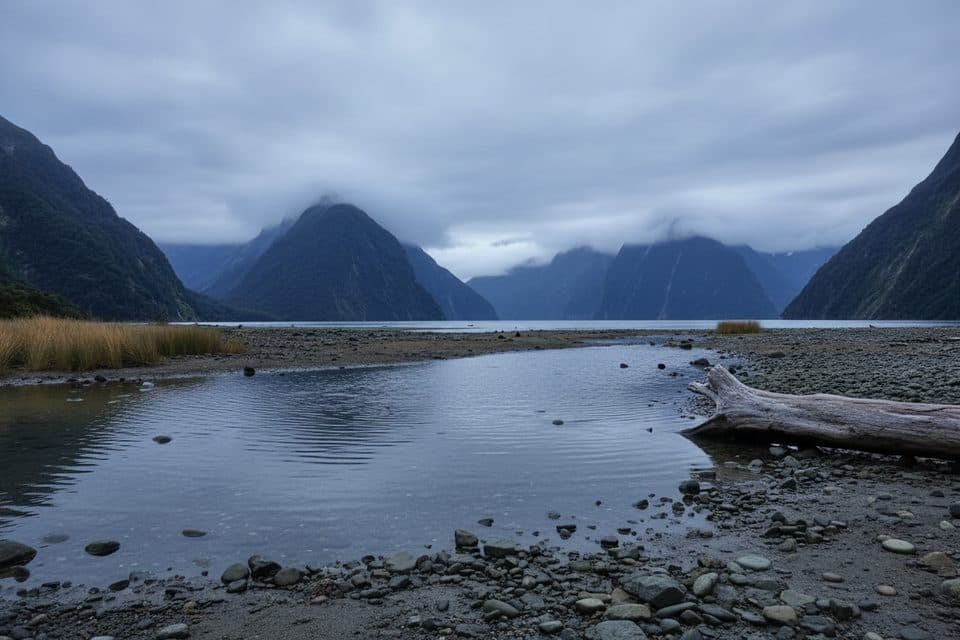 EasyMilford Foreshore Walk0.4 km · 30 min · 3 km awayIconic Mitre Peak views on a quick, flat foreshore loop
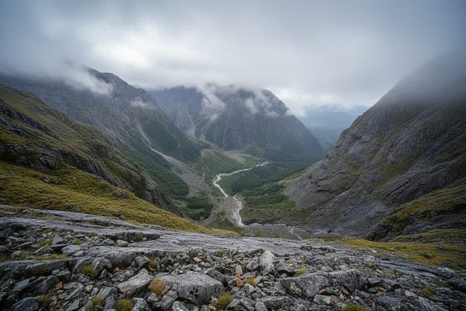 ChallengingGrave–Talbot Track7.2 km · 4 hr · 3.1 km awayA hard, rough out-and-back from Gulliver River Bridge to the Esperance River grasslands.
 EasyMilford Track: Sandfly Point to Giant Gate Falls10.5 km · 3.5 hr · 4.8 km awayA gentle Milford Track day walk to a 30 m waterfall
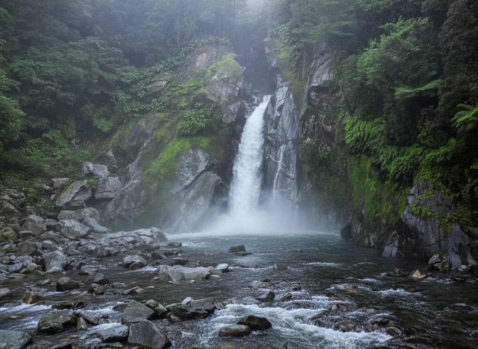 EasyGiant Gate Falls Track10.9 km · 3 hr · 4.8 km awayEasy Milford Track day walk to the swing-bridge view of Giant Gate FallsEasyThe Chasm Walk0.4 km · 20 min · 4.9 km awayA quick wow: roaring chasm, sculpted rock, and lush rainforestEasyEast Homer Nature Walk0.9 km · 20 min · 9.9 km awayA quick alpine out-and-back beside the Homer Tunnel, with native flora and kea sightings.
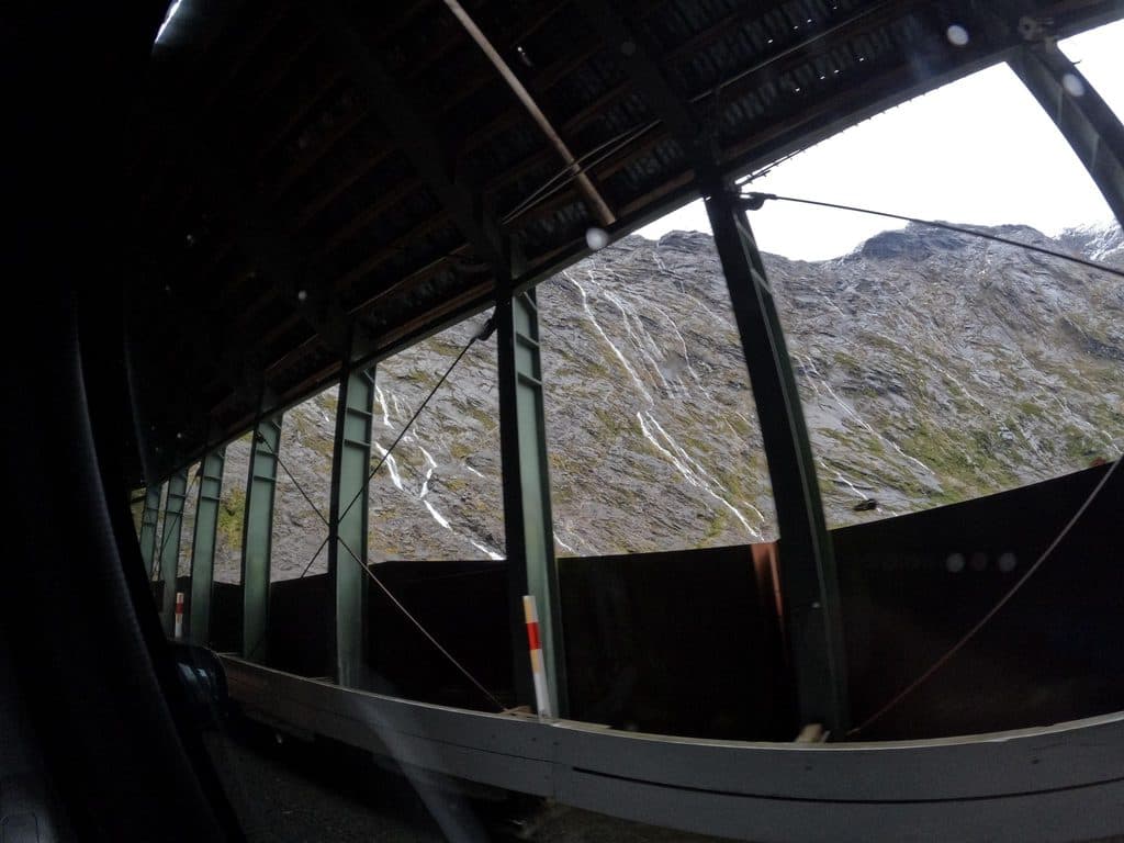 EasyHomer Tunnel Nature Walk0.7 km · 20 min · 9.9 km awayA short self-guided alpine loop beside Homer Tunnel’s Hollyford-side portalChallengingBarrier Knob from Gertrude Saddle Car Park11.3 km · 8 hr · 10.5 km awayA demanding alpine out-and-back from Gertrude Valley car park to 360° views on Barrier Knob
 Scenic pullout · At the trailheadTūtoko River LookoutRoadside bridge view of blue river and Fiordland peaks
 Restaurant · 2 km awayPio PioRefined, local fare in a rare Milford Sound sit-down spot
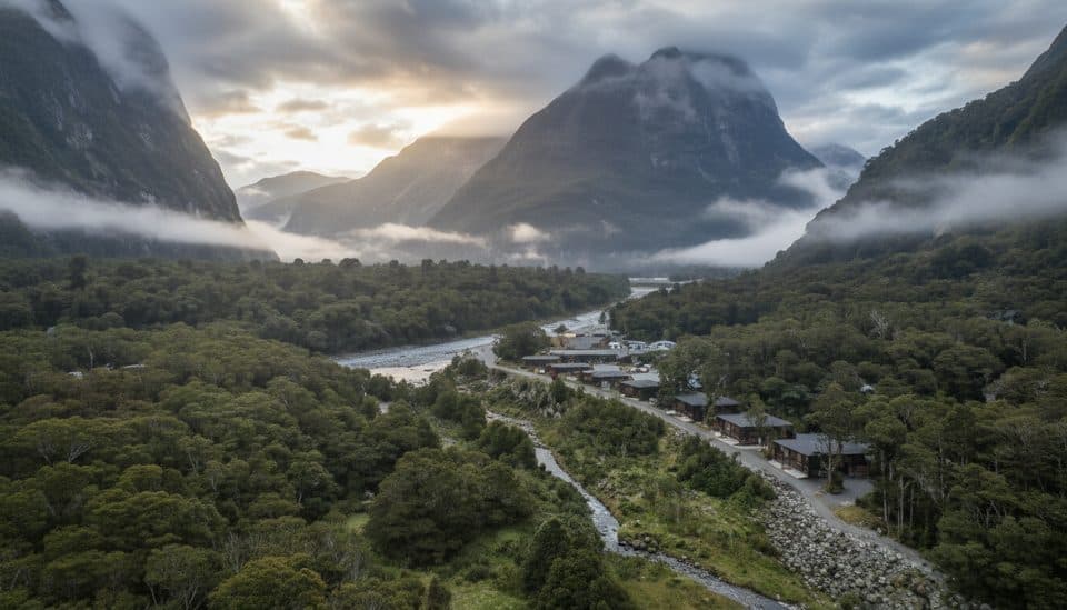 Lodging · 2 km awayMilford Sound LodgeThe only stay in Milford, with chalets and campervan sites
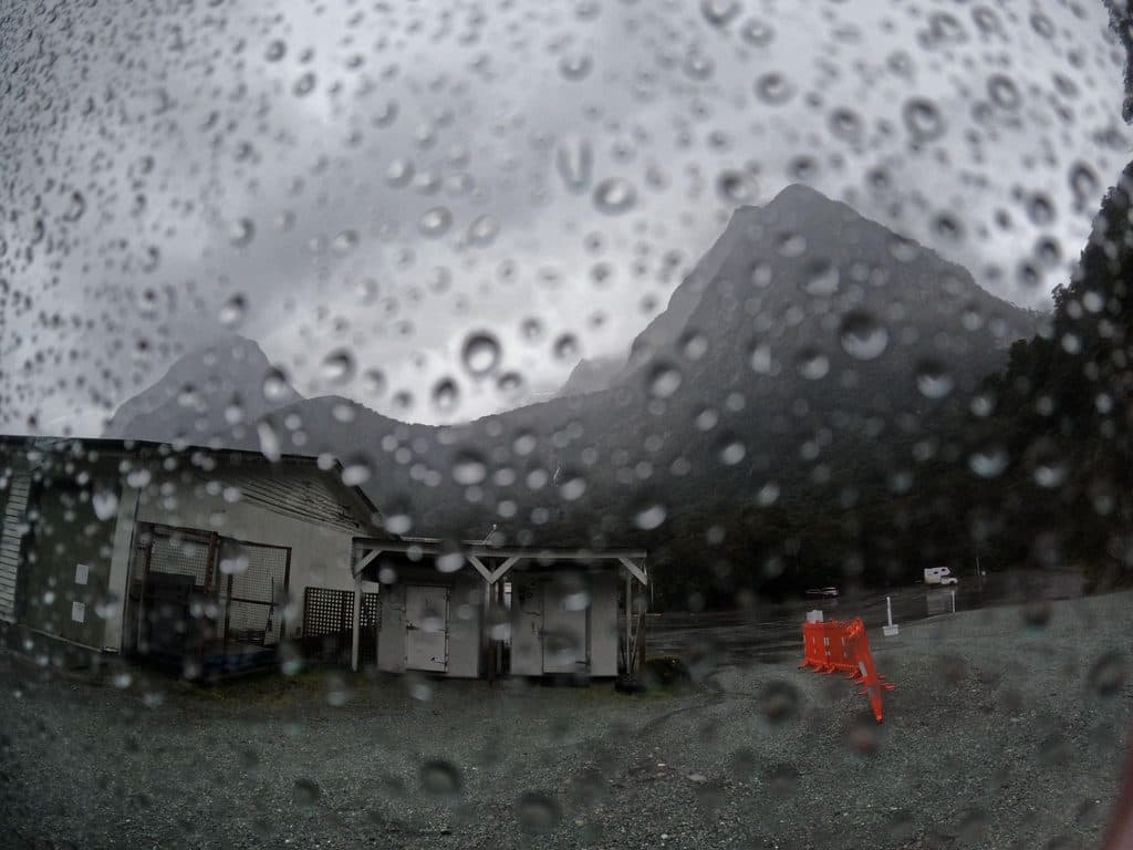 Gas station · 2.9 km awayAlliedMilford Sound’s lone 24/7 fuel pump for top-ups and close calls
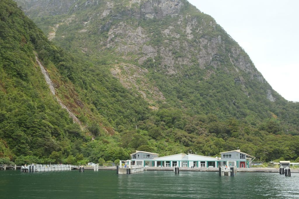 Visitor center · 3.1 km awayMilford Sound Visitor TerminalLaunchpad for fjord cruises with instant epic views
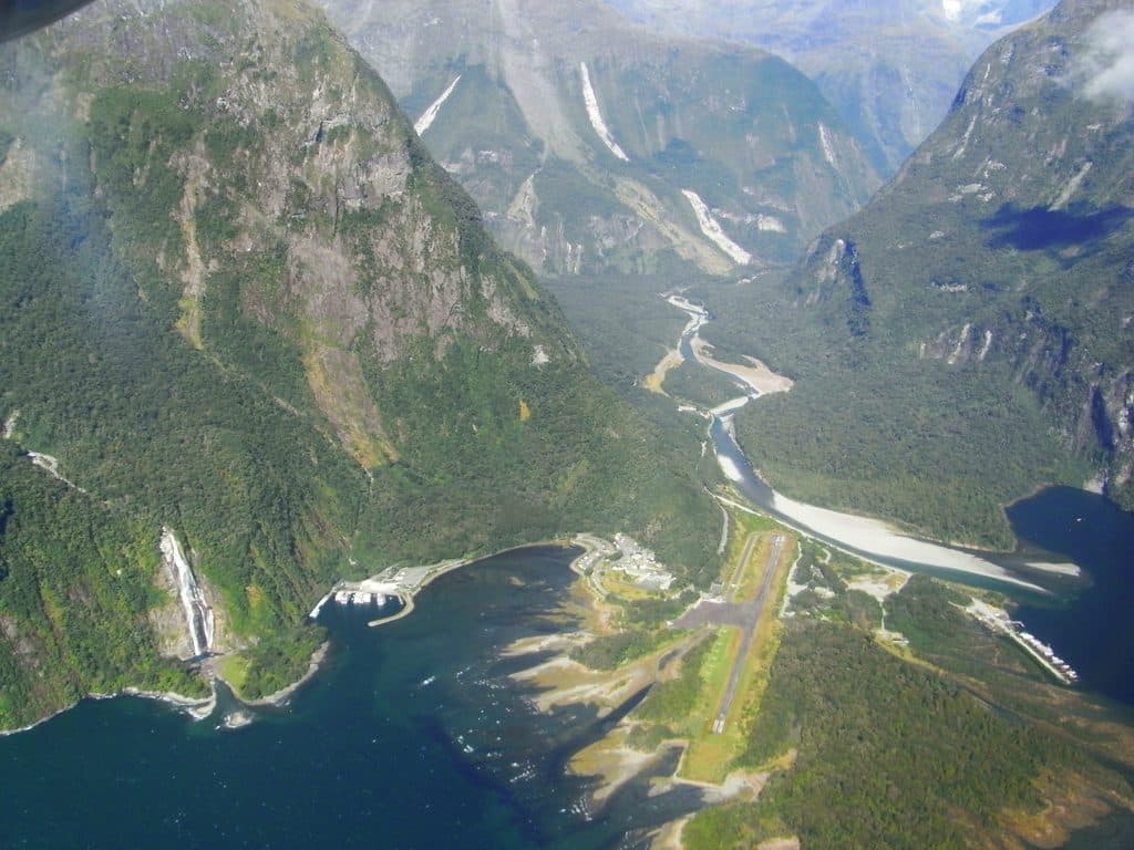 Sight · 3.1 km awayMilford Sound AirportTiny airstrip in jaw-dropping fiord scenery, hub for scenic flights
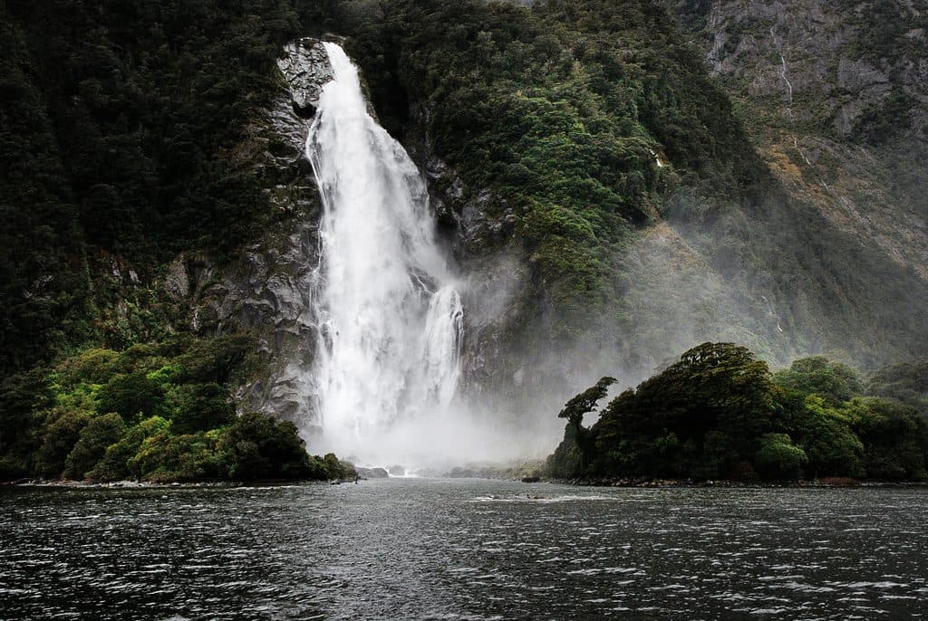 Sight · 3.3 km awayBowen FallsMilford Sound’s thundering, year-round 162 m curtain of water
 Sight · 3.3 km awayMitre Peak ViewpointThe classic Milford Sound shot of Mitre Peak across calm water
Parkwolf’s Fiordland ranking
The audio tour guide for the drive, plus offline maps, trails, and wildlife heatmaps for when the signal drops.


