Parking
Use the car park behind the café at Milford Sound. Walk in front of the two brown buildings south of the car park toward Donald Sutherland’s grave, then follow the path around the brown hedge to the bush edge.
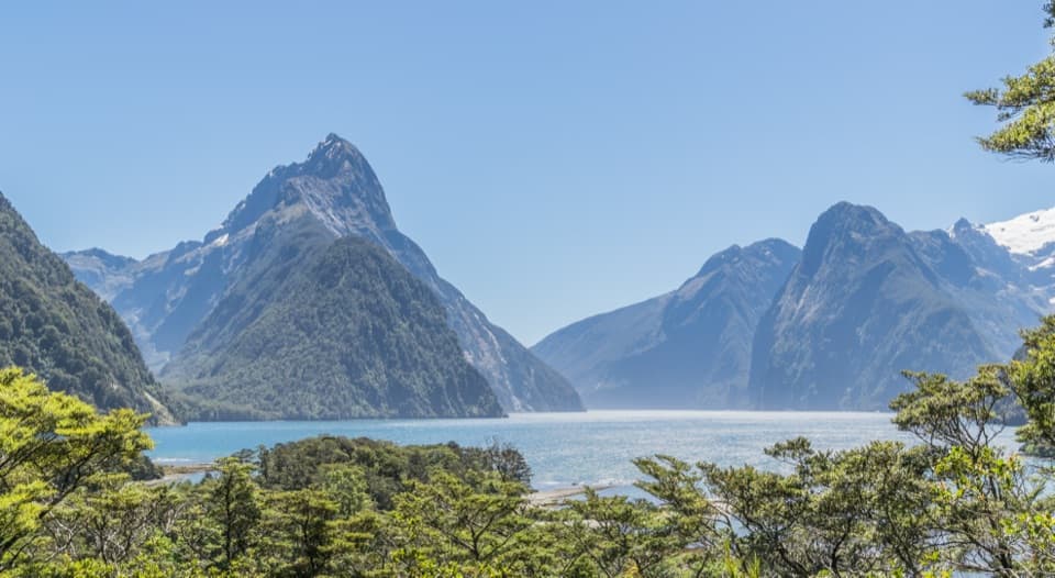
Fiordland National Park, SL
A 400 m return walk to a view over Milford Sound.
Photo: Krzysztof Golik, CC BY-SA 4.0, via Wikimedia Commons
Overview
Map & elevation
Plan your hike

The highest, rockiest slopes around here are a summer buffet for grizzly bears.
Fiordland Tour Guide
Parkwolf is a GPS audio tour guide for Fiordland National Park. As you drive, it chimes in with what’s ahead: hidden gems, upcoming stops, history, geology, and wildlife, right through your car’s speakers.
See the Fiordland audio tourRecorded for this trailhead
Milford Waterfront and Foreshore“You're approaching the Milford waterfront, where a short walk brings you to the shore beneath Mitre Peak. Even without a cruise, I'd stop for the foreshore loop through beech forest and along the water.”
Plays as you drive up to this trailhead in the Parkwolf Fiordland Tour Guide.
More stories near here in the app
“Fantastic app with many points of information… It’s great to just turn on while you’re driving and it gives you an audio tour of the national Park. We love it!!!!”


Trail guide
Milford Sound Lookout Track is a 400 m out-and-back walk from the rear café car park to a viewpoint above Milford Sound / Piopiotahi. Allow about 20 minutes. It’s a short, easy-to-intermediate walk with a brief bush section, exposed roots, a set of steps and a rewarding view over the fiord. Do it when you want a quick look from above without committing to a longer tramp.
Start from the car park behind the café. Walk in front of the two brown buildings south of the car park, heading toward Donald Sutherland’s grave. At the brown hedge, stay on the path around it to the bush edge, then follow the track to the lookout. You return the same way. Bring sandfly repellent.
The trees open onto Milford Sound, with Mitre Peak and the steep fiord walls beyond the forest canopy. Keep some of the treetops in the frame to show the height of the viewpoint and the scale of the water and mountains.
The approach passes the grave of Donald Sutherland, one of Milford Sound’s first permanent residents. He arrived in 1877, discovered the falls that carry his name, and built Milford Sound’s first hotel with his wife, Elizabeth. The grave gives this very short walk a story of the people who helped make the remote fiord accessible to walkers.
Wildlife
 1,233 sightingsKeaMost seen around 10 AMSighting map
 214 sightingsFiordland PenguinMost seen around 7 PMSighting map
 233 sightingsBlue DuckMost seen around 5 PMSighting map
 32 sightingsBottlenose DolphinMost seen around 5 PMSighting map
 252 sightingsNew Zealand Fur SealMost seen around 6 PMSighting map
 69 sightingsKākāMost seen around 6 PMSighting map
Sighting maps show where each species has been reported across Fiordland. Wildlife moves, so no sighting is guaranteed.
Keep exploring
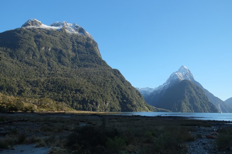 EasyMilford Foreshore Walk0.9 km · 30 min · 0.1 km awayA short forest-and-foreshore loop beneath Mitre Peak
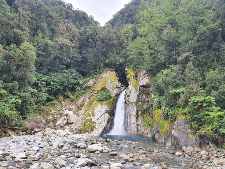 ModerateMilford Track: Giant Gate Falls Day Walk11 km · 3.5 hr · 2.3 km awayA shaded forest walk to a 30-metre waterfall and swing bridge
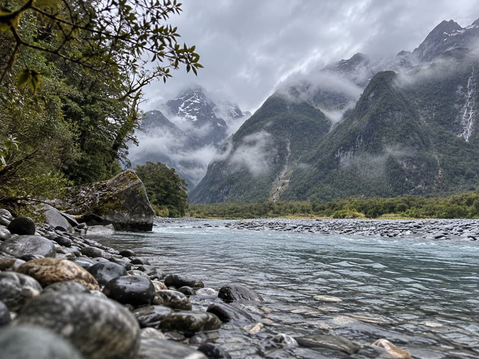 ChallengingTūtoko Valley Route7.4 km · 4.5 hr · 2.9 km awayA rough forest approach ends at a river below the peaks.
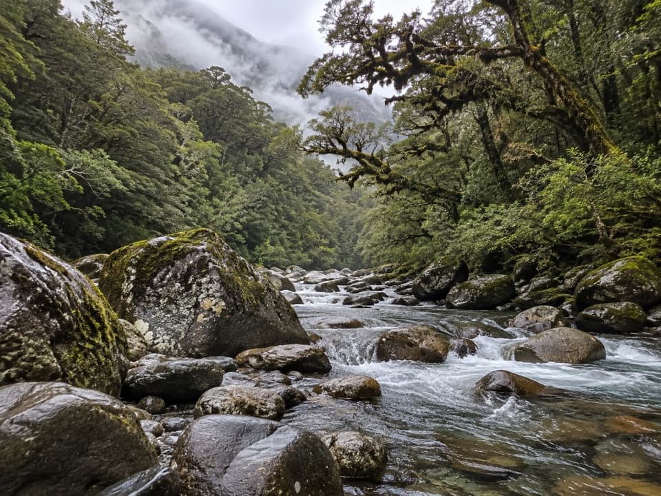 ChallengingGrave–Talbot Track7.2 km · 3.5 hr · 4.9 km awayA rough river valley walk that opens into Esperance grassland.
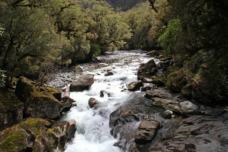 EasyThe Chasm Walk0.4 km · 20 min · 5.7 km awayA short forest walk to the Cleddau's water-carved gorge.
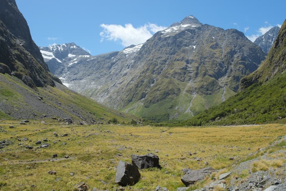 EasyEast Homer Nature Walk0.7 km · 20 min · 11.3 km awayAlpine flowers, rock wrens, and kea beside the Homer Tunnel.
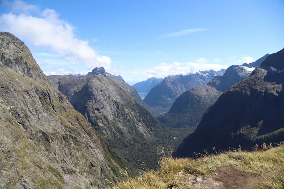 ChallengingGertrude Saddle Route8.4 km · 5 hr · 12.2 km awayCabled granite slabs lead to an open saddle view over Milford Sound.
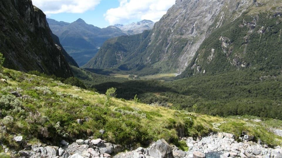 ChallengingMoraine Creek Route to Tent Flat9.5 km · 10 hr · 15.8 km awayA steep climb through bush to boggy Tent Flat.
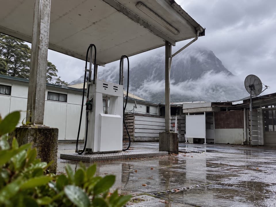 Gas station · At the trailheadMilford Sound Fuel StopA practical fuel backup after the long Milford Road drive.
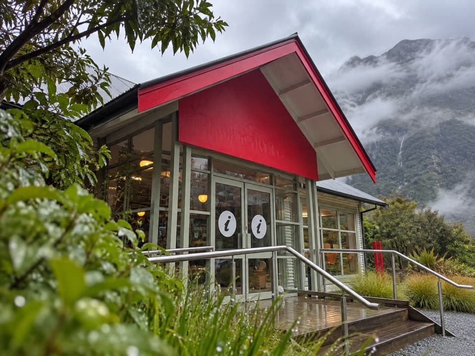 Visitor center · 0.1 km awayDiscover Milford Sound Information Centre & CaféCoffee, a light meal and Milford cruise information share one stop.
 Sight · 0.3 km awayMilford Foreshore WalkA short loop puts Mitre Peak at eye level from the shore.
 Sight · 0.5 km awayMilford Sound Visitor TerminalThis shared wharf is the launch point for Milford Sound cruises.
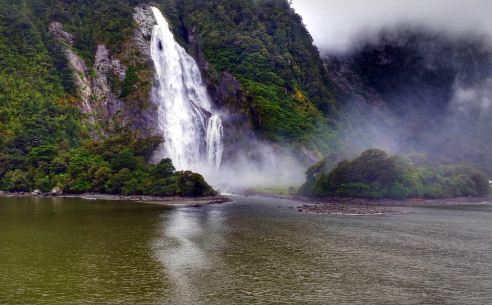 Sight · 0.9 km awayHineteawa / Bowen FallsMilford Sound's 162-m waterfall, best seen from a cruise.
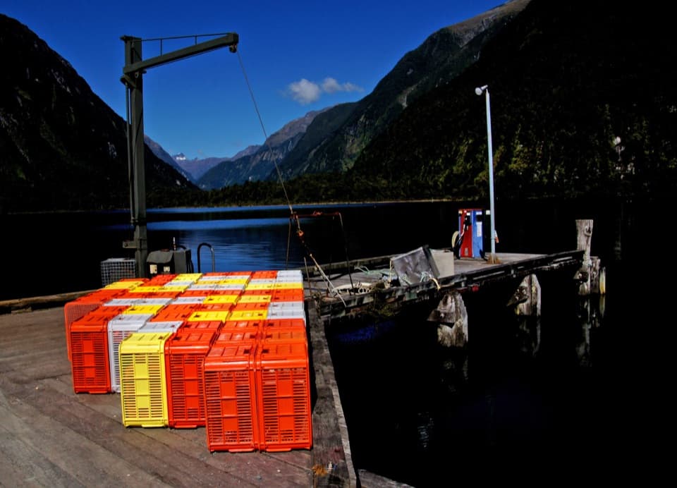 Sight · 1 km awayDeepwater BasinA practical launch point for Milford Sound boaters and paddlers.
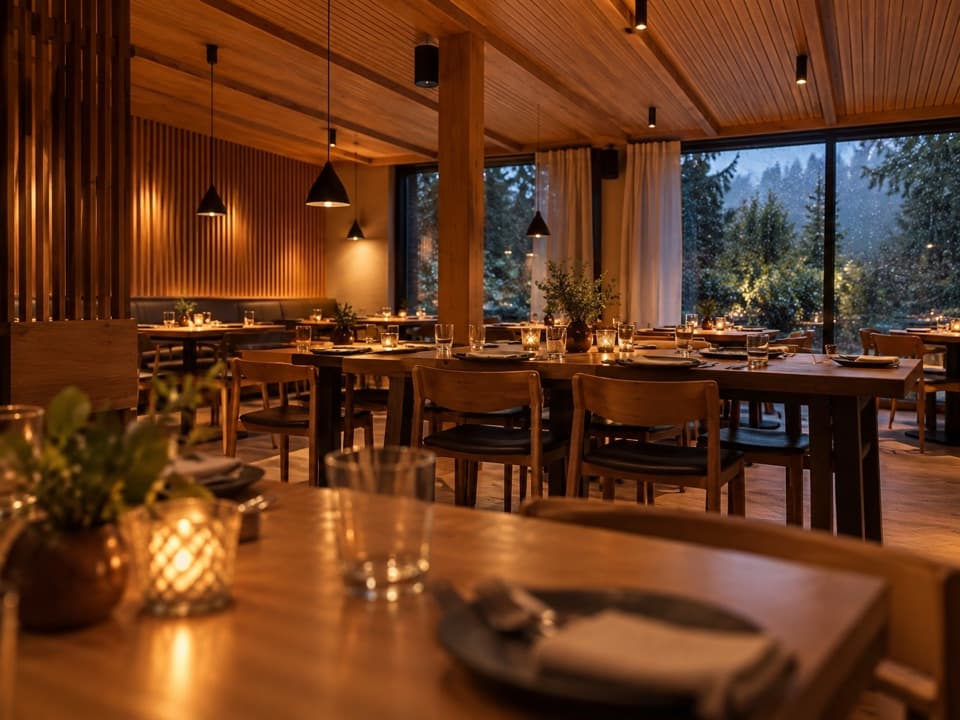 Restaurant · 1 km awayPio Pio RestaurantFiordland venison and crayfish in a timber-lined dining room.
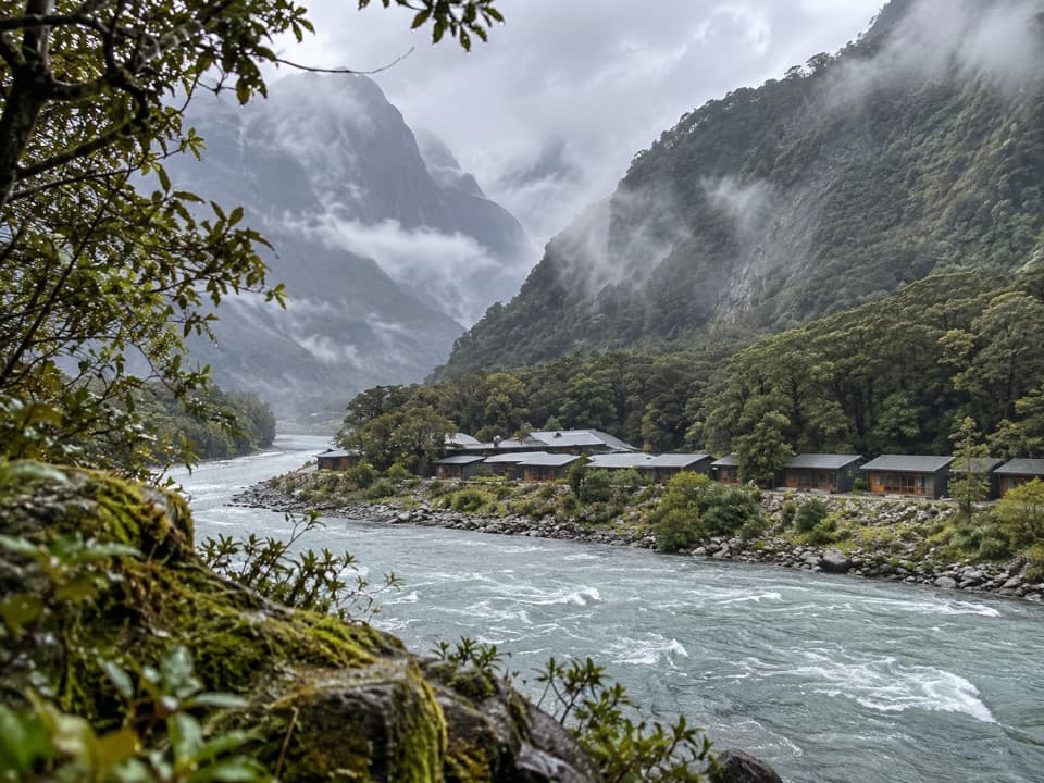 Lodging · 1 km awayMilford Sound LodgeA remote riverside stay with Pio Pio on site.
Parkwolf’s Fiordland ranking

The audio tour guide for the drive, plus offline maps, trails, and wildlife heatmaps for when the signal drops.





