Parking
Large, signed The Chasm Car Park directly off Milford Road, about 109 km from Te Anau.
Fiordland National Park, SL
A quick wow: roaring chasm, sculpted rock, and lush rainforest
Overview
Yes—The Chasm is a memorable roadside stop with a large sensory payoff for very little walking. It is best paired with other Milford Road stops rather than treated as a long hike.
 Parkwolf’s verdictIs it worth it?
Map & elevation
Plan your hike

The highest, rockiest slopes around here are a summer buffet for grizzly bears.
Fiordland Tour Guide
Parkwolf is a GPS audio tour guide for Fiordland National Park. As you drive, it chimes in with what’s ahead: hidden gems, upcoming stops, history, geology, and wildlife, right through your car’s speakers.
See the Fiordland audio tourRecorded for this area
The Chasm's Sculpted Rock and Powerful Water“Up ahead is the stop for The Chasm, and it's a great use of twenty minutes. An easy loop walk on boardwalks takes you over a narrow, roaring gorge.”
Plays near this trailhead in the Parkwolf Fiordland Tour Guide.
More stories near here in the app
“Fantastic app with many points of information… It’s great to just turn on while you’re driving and it gives you an audio tour of the national Park. We love it!!!!”


Trail guide
A short, easy walk through native bush ends at the Cleddau River, where fast water has sculpted deep holes, basins, and smooth rock formations. Bridges and viewing areas make this a compact way to experience Fiordland's rainforest, river roar, and dramatic geology.
The Chasm Walk is about 400 m return (0.25 miles total) and usually takes around 20 minutes. It is a mostly flat, well-formed track with gravel, boardwalk or bridge sections, and railings near the river. The mapped route is the one-way corridor from the signed car park to the Cleddau viewpoint; return via the same track.
Use the large, signed Chasm Car Park off Milford Road, about 109 km from Te Anau. The track is short and easy, but Fiordland is very wet and surfaces can be slippery. Stay on the marked path, hold the railings, and keep well back from the fast river and steep edges. Dogs are not permitted on this walk.
Wildlife
 1,181 sightingsKeaMost seen around 10 AMSighting map
 199 sightingsFiordland PenguinMost seen around 7 PMSighting map
 228 sightingsBlue DuckMost seen around 5 PMSighting map
 32 sightingsBottlenose DolphinMost seen around 5 PMSighting map
 247 sightingsNew Zealand Fur SealMost seen around 6 PMSighting map
 58 sightingsKākāMost seen around 6 PMSighting map
Sighting maps show where each species has been reported across Fiordland. Wildlife moves, so no sighting is guaranteed.
Keep exploring
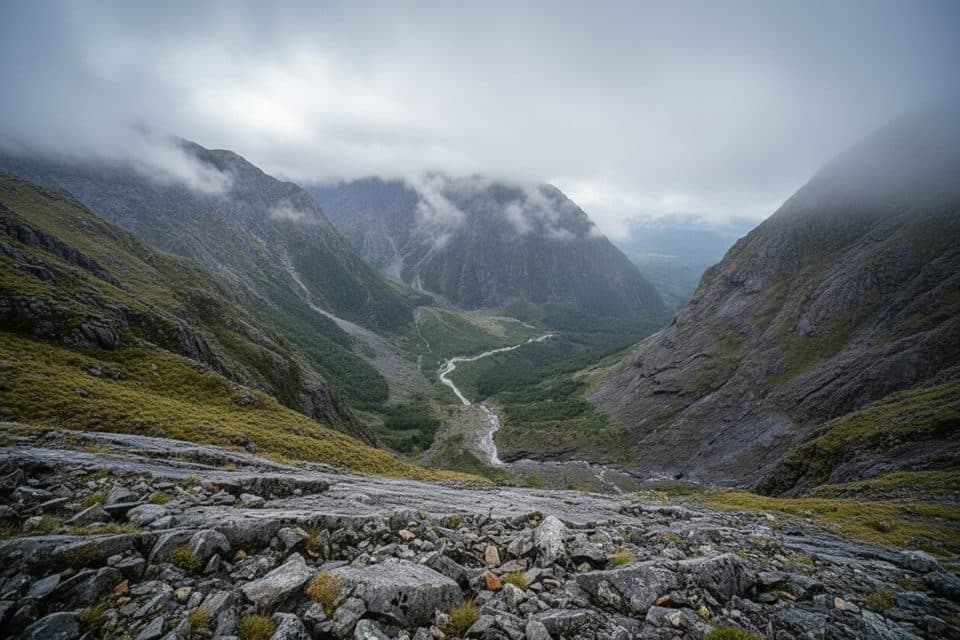 ChallengingGrave–Talbot Track7.2 km · 4 hr · 2.3 km awayA hard, rough out-and-back from Gulliver River Bridge to the Esperance River grasslands.
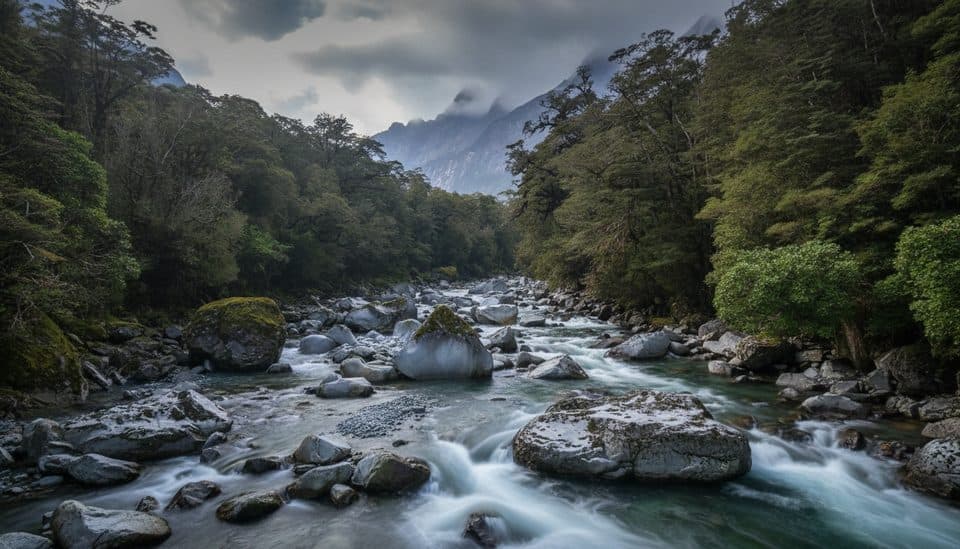 ChallengingTūtoko Valley Route9.3 km · 5 hr · 4.9 km awayA challenging, rough valley route from Tūtoko Bridge to open flats beneath Fiordland peaks
 EasyMilford Track: Sandfly Point to Giant Gate Falls10.5 km · 3.5 hr · 5.7 km awayA gentle Milford Track day walk to a 30 m waterfall
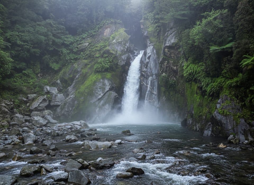 EasyGiant Gate Falls Track10.9 km · 3 hr · 5.7 km awayEasy Milford Track day walk to the swing-bridge view of Giant Gate FallsEasyEast Homer Nature Walk0.9 km · 20 min · 5.7 km awayA quick alpine out-and-back beside the Homer Tunnel, with native flora and kea sightings.
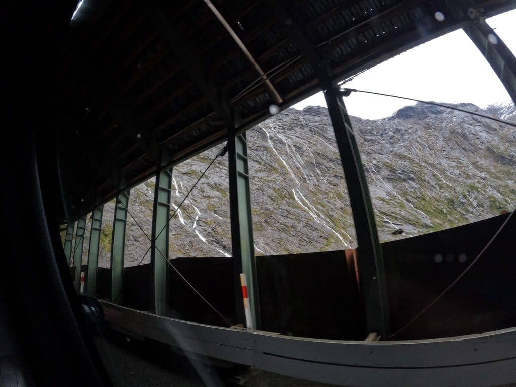 EasyHomer Tunnel Nature Walk0.7 km · 20 min · 5.7 km awayA short self-guided alpine loop beside Homer Tunnel’s Hollyford-side portal
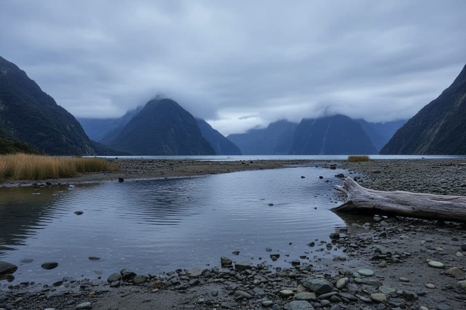 EasyMilford Foreshore Walk0.4 km · 30 min · 5.9 km awayIconic Mitre Peak views on a quick, flat foreshore loopChallengingBarrier Knob from Gertrude Saddle Car Park11.3 km · 8 hr · 6.6 km awayA demanding alpine out-and-back from Gertrude Valley car park to 360° views on Barrier Knob
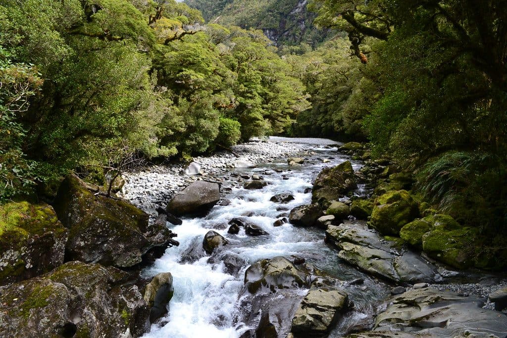 Sight · At the trailheadThe ChasmShort walk to a roaring, river‑carved chasm of sculpted rock
 Scenic pullout · 4.9 km awayTūtoko River LookoutRoadside bridge view of blue river and Fiordland peaks
 Restaurant · 5.1 km awayPio PioRefined, local fare in a rare Milford Sound sit-down spot
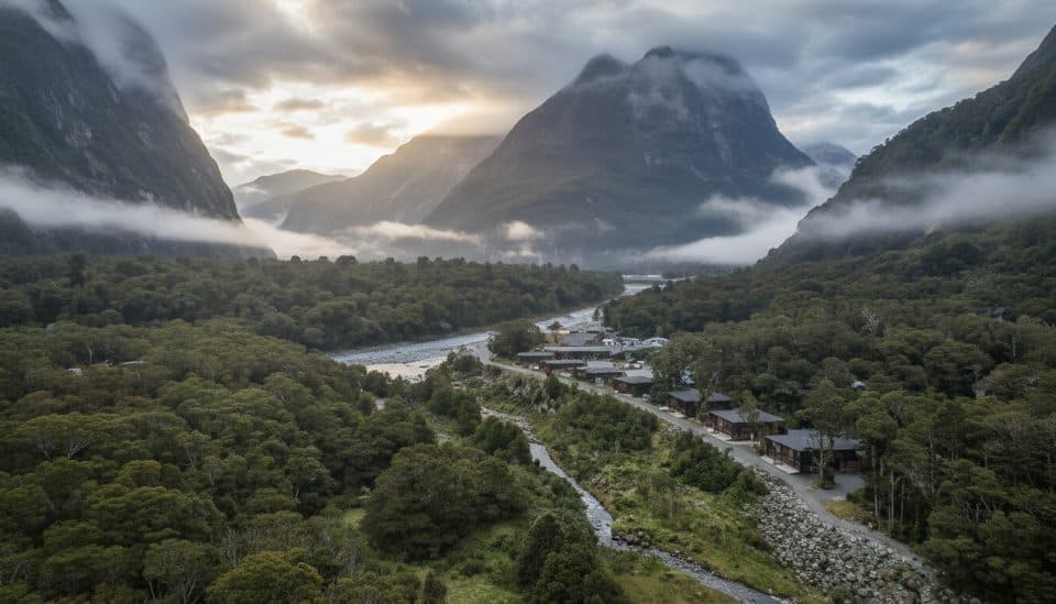 Lodging · 5.1 km awayMilford Sound LodgeThe only stay in Milford, with chalets and campervan sites
 Sight · 5.3 km awayHomer TunnelNarrow alpine tunnel that unlocks the road to Milford Sound
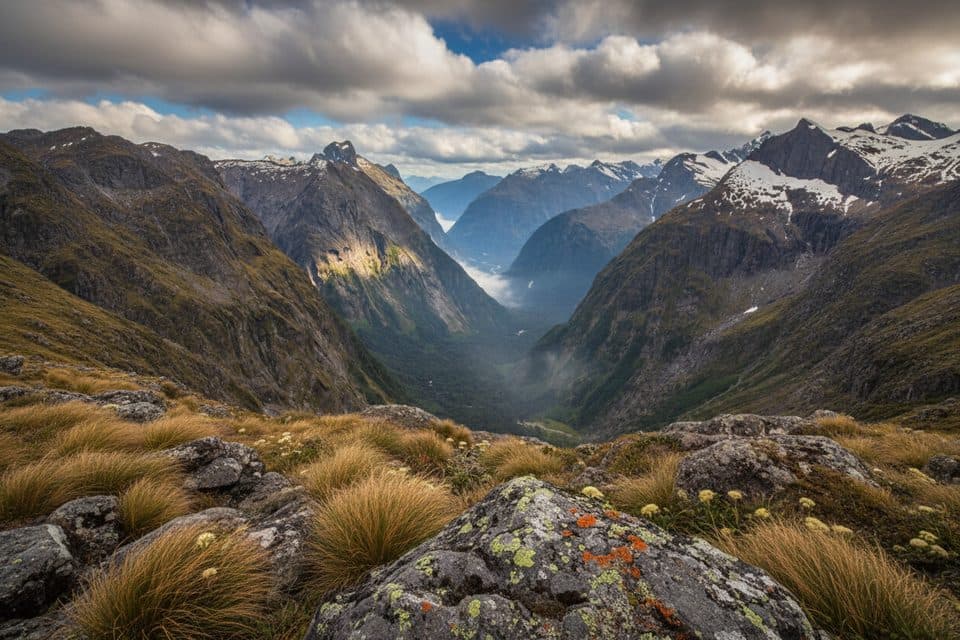 Sight · 5.3 km awayGertrude SaddleAlpine saddle with Milford Sound views via steep slabs and Black Lake
 Trailhead · 5.7 km awaySandfly PointMilford Track’s buggy, beautiful finish on the fiord’s edge
 Gas station · 5.8 km awayAlliedMilford Sound’s lone 24/7 fuel pump for top-ups and close calls
Parkwolf’s Fiordland ranking
The audio tour guide for the drive, plus offline maps, trails, and wildlife heatmaps for when the signal drops.


