Parking
Take the water taxi from Deepwater Basin to Sandfly Point; that is the access for this day walk. Arrange a return pickup before setting out. Parking at Deepwater Basin was not confirmed.
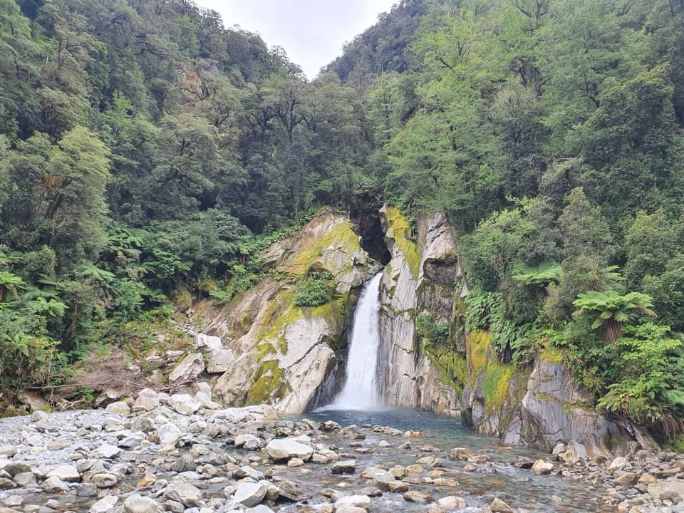
Fiordland National Park, SL
A shaded forest walk to a 30-metre waterfall and swing bridge
Photo: ShakyIsles, CC BY-SA 4.0, via Wikimedia Commons
Overview
Map & elevation
Plan your hike

The highest, rockiest slopes around here are a summer buffet for grizzly bears.
Fiordland Tour Guide
Parkwolf is a GPS audio tour guide for Fiordland National Park. As you drive, it chimes in with what’s ahead: hidden gems, upcoming stops, history, geology, and wildlife, right through your car’s speakers.
See the Fiordland audio tourRecorded for this area
Deepwater Basin Boating Access“You're nearing the access to Deepwater Basin, a working boat and kayak launch area off the Milford waterfront. I'd skip this as a sightseeing stop; it's mainly for getting onto the water.”
Plays on the road 1.7 km from the trailhead in the Parkwolf Fiordland Tour Guide.
More stories near here in the app
“Fantastic app with many points of information… It’s great to just turn on while you’re driving and it gives you an audio tour of the national Park. We love it!!!!”


Trail guide
This is a boat-access out-and-back from Sandfly Point to the swing bridge at Giant Gate Falls, on the final section of the Milford Track. Most of the route is shaded rainforest beside the Arthur River and Lake Ada. Plan on about 11 km return and 3–4 hours walking; some descriptions round it to 10 km. This is the waterfall walk from Milford Sound, not the full 53.5 km Great Walk.
The walk starts with about 45 minutes beside the Arthur River, then follows Lake Ada for about 40 minutes. Look for the signed lakeside turnoff near a clearing. Most of the trail stays under rainforest, and waterfalls along Lake Ada are easiest to spot when there is enough water flowing.
Giant Gate Falls drops about 30 metres from a bush-covered hillside into pools. The swing bridge over the Arthur River is the main viewing spot. There is a shelter and a toilet nearby, so this is a good place to stop for lunch before retracing your steps.
The route passes mountain and red beech, rimu, lancewood and tree fuchsia. Labourers blasted and hand-cut rock beside the Arthur River and Lake Ada when the Milford Track was built; some of those cuttings are still part of the walk. Listen for bellbirds and tūī, and keep an eye out for weka around the falls.
Day walkers reach Sandfly Point by seasonal water taxi from Deepwater Basin; the ride takes about 10 minutes each way. Arrange your return pickup before setting out. Boat service runs from October through May. Pets are not allowed on conservation land without written DOC permission; certified disability-assist dogs are exempt.
Wildlife
 1,233 sightingsKeaMost seen around 10 AMSighting map
 214 sightingsFiordland PenguinMost seen around 7 PMSighting map
 233 sightingsBlue DuckMost seen around 5 PMSighting map
 32 sightingsBottlenose DolphinMost seen around 5 PMSighting map
 252 sightingsNew Zealand Fur SealMost seen around 6 PMSighting map
 69 sightingsKākāMost seen around 6 PMSighting map
Sighting maps show where each species has been reported across Fiordland. Wildlife moves, so no sighting is guaranteed.
Keep exploring
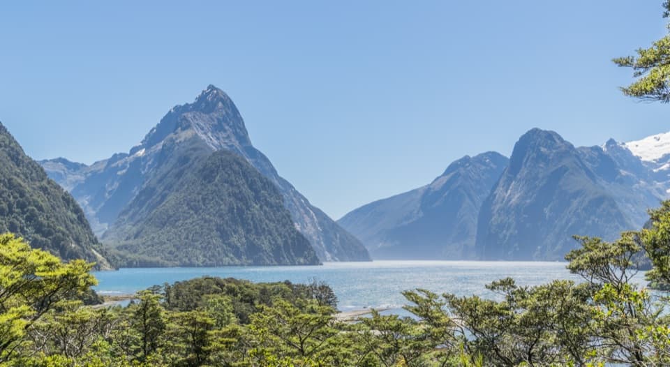 EasyMilford Sound Lookout Track0.4 km · 20 min · 2.3 km awayA 400 m return walk to a view over Milford Sound.
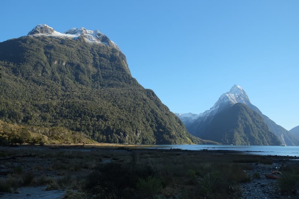 EasyMilford Foreshore Walk0.9 km · 30 min · 2.3 km awayA short forest-and-foreshore loop beneath Mitre Peak
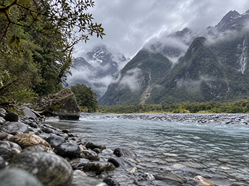 ChallengingTūtoko Valley Route7.4 km · 4.5 hr · 4.8 km awayA rough forest approach ends at a river below the peaks.
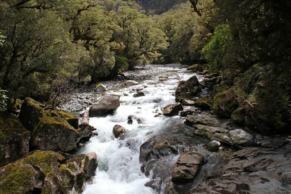 EasyThe Chasm Walk0.4 km · 20 min · 5.7 km awayA short forest walk to the Cleddau's water-carved gorge.
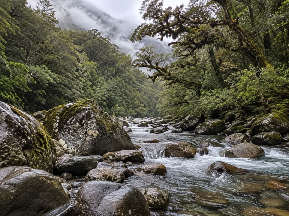 ChallengingGrave–Talbot Track7.2 km · 3.5 hr · 5.8 km awayA rough river valley walk that opens into Esperance grassland.
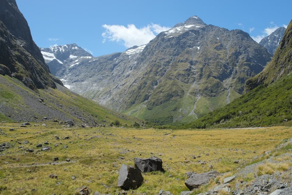 EasyEast Homer Nature Walk0.7 km · 20 min · 11.3 km awayAlpine flowers, rock wrens, and kea beside the Homer Tunnel.
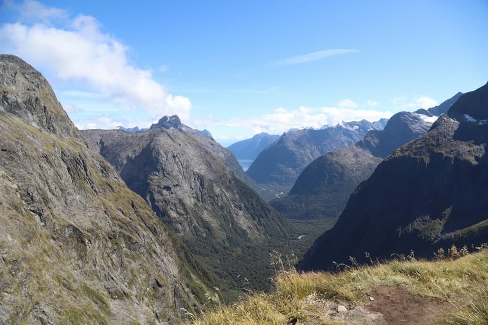 ChallengingGertrude Saddle Route8.4 km · 5 hr · 12.3 km awayCabled granite slabs lead to an open saddle view over Milford Sound.
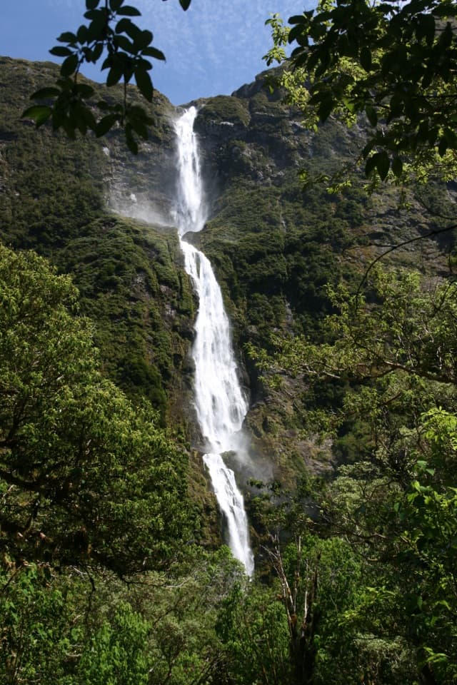 ModerateSutherland Falls Track3.7 km · 1.5 hr · 17.2 km awayA short detour to a 580-metre waterfall in three leaps.
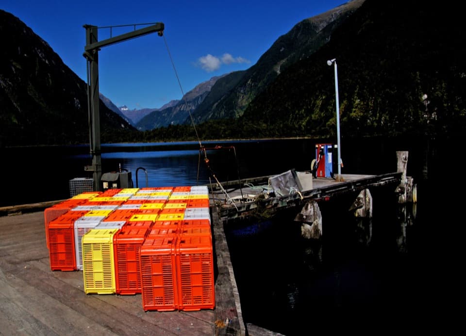 Sight · 1.4 km awayDeepwater BasinA practical launch point for Milford Sound boaters and paddlers.
 Sight · 2.2 km awayMilford Foreshore WalkA short loop puts Mitre Peak at eye level from the shore.
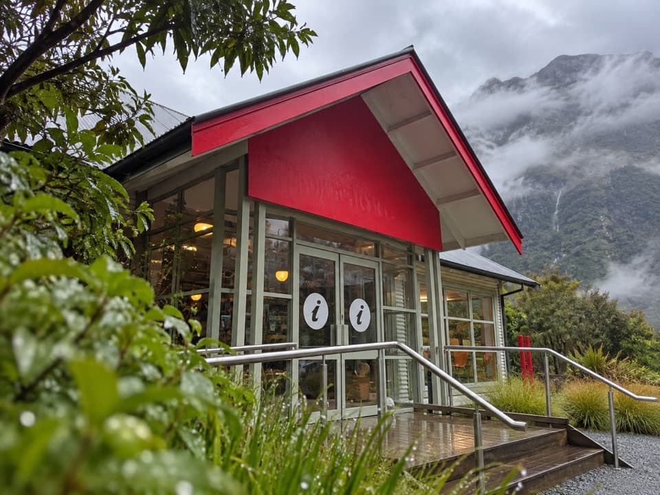 Visitor center · 2.3 km awayDiscover Milford Sound Information Centre & CaféCoffee, a light meal and Milford cruise information share one stop.
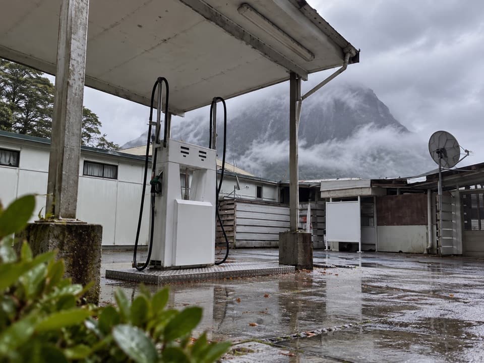 Gas station · 2.3 km awayMilford Sound Fuel StopA practical fuel backup after the long Milford Road drive.
 Sight · 2.6 km awayMilford Sound Visitor TerminalThis shared wharf is the launch point for Milford Sound cruises.
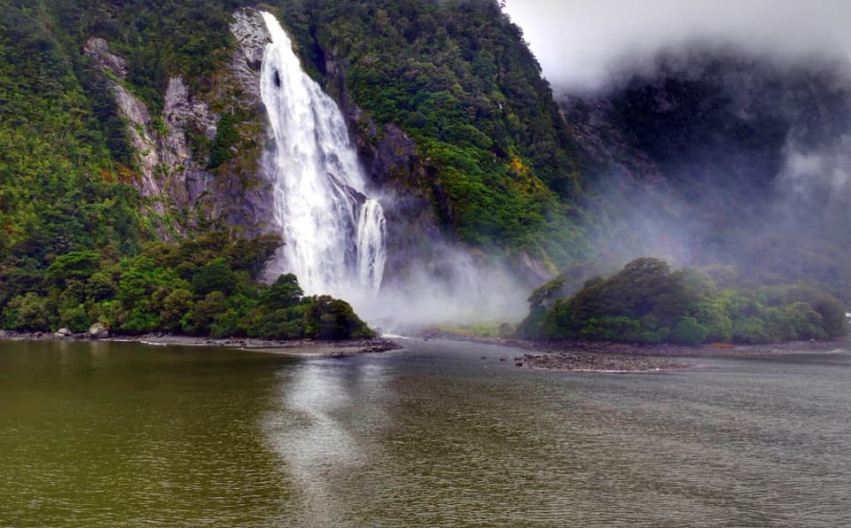 Sight · 2.8 km awayHineteawa / Bowen FallsMilford Sound's 162-m waterfall, best seen from a cruise.
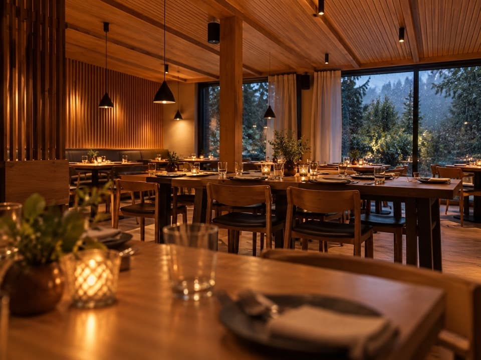 Restaurant · 2.9 km awayPio Pio RestaurantFiordland venison and crayfish in a timber-lined dining room.
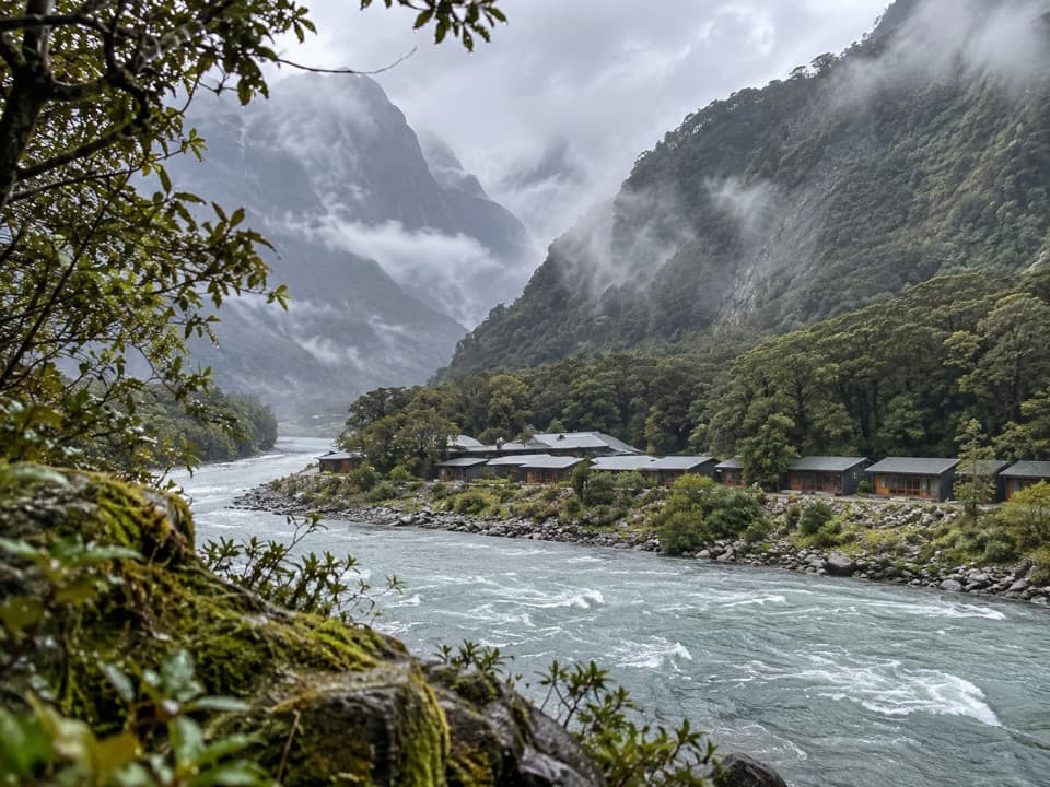 Lodging · 2.9 km awayMilford Sound LodgeA remote riverside stay with Pio Pio on site.
Parkwolf’s Fiordland ranking

The audio tour guide for the drive, plus offline maps, trails, and wildlife heatmaps for when the signal drops.





